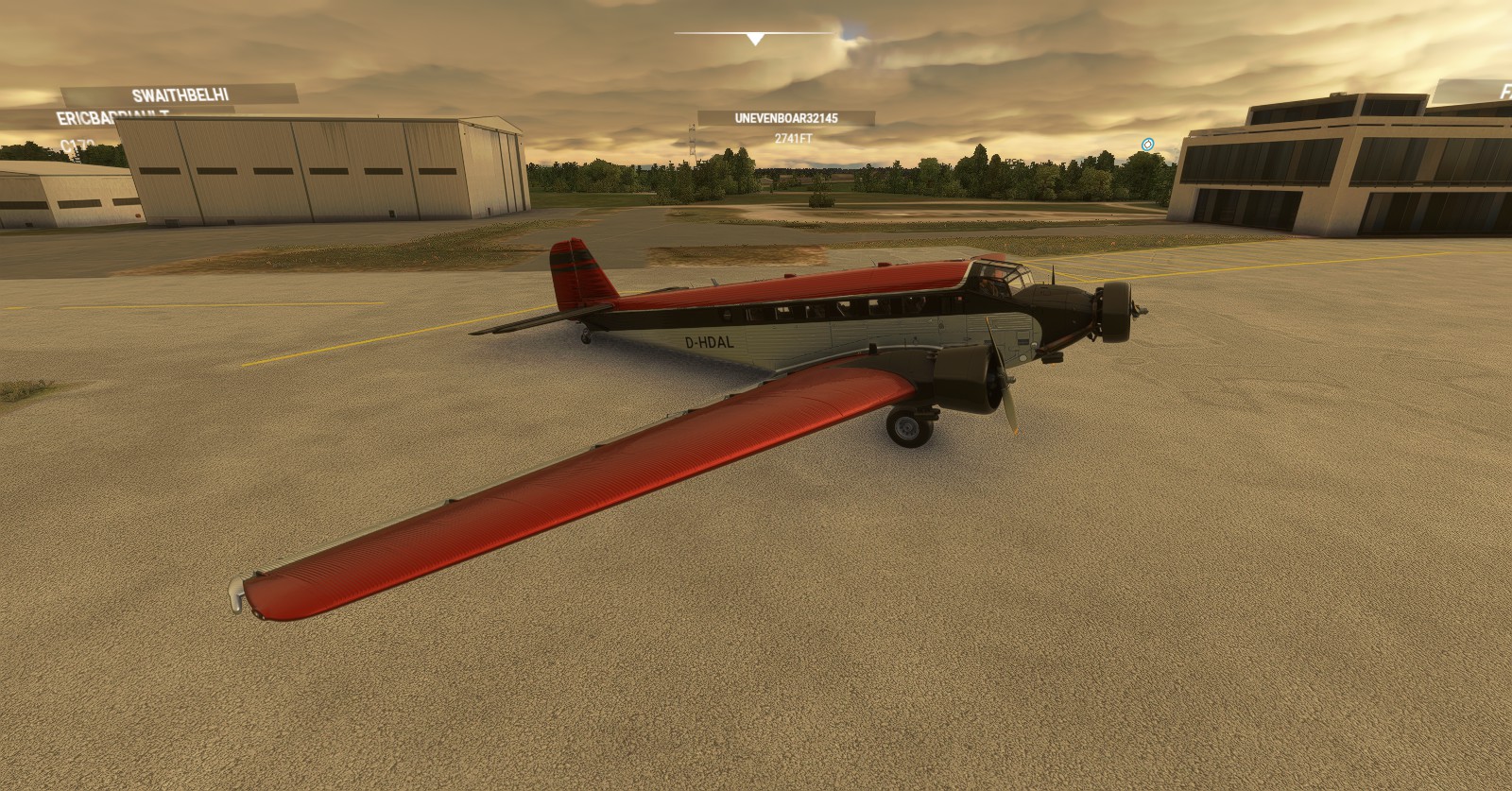
Heyo! Loving Microsoft Flight Simulator 2020 so much that I partook in a little project relating to “heading west”. I have to keep the title a bit obscure, though something I had done previously in Flight Sim X. For this trip I was basically waiting for a medium range and speed plane having both been excited, yet defeated when the JU-52 was delayed. Had to wait, and wait, to finally which we finally have it. The JU-52 is indeed a nice plane, however has to be treated like a touristy plane, not a long-haul plane with how lacking I am with time. Because of such I ended up swapping between the TBM9 plane, and even the King Air because of their terrain panels. I would have used the Cessna Citation CJ4, it however doesn’t boast the panels both the TBM9 and King Air have, something I severely needed in this flight. Especially along the Canadian rockies.
Flight Path covered in this Posting:
Ottawa(CYND & CYRP) > North Bay(CYYB) > Elliot Lake Municipal Airport’ (CYEL) > Sault Ste Marie (CYAM) > Thunder Bay (CYQT) > Kenora (CYQK) > Winnipeg Int’ (CYWG) > Regina Int’ (CYQR) > Saskatoon (CYXE) > Edmonton Int’ (CYEG)
(More areas to visit in P2 & P3, among others)
Intro – JU-52 – CYND > CYRP:
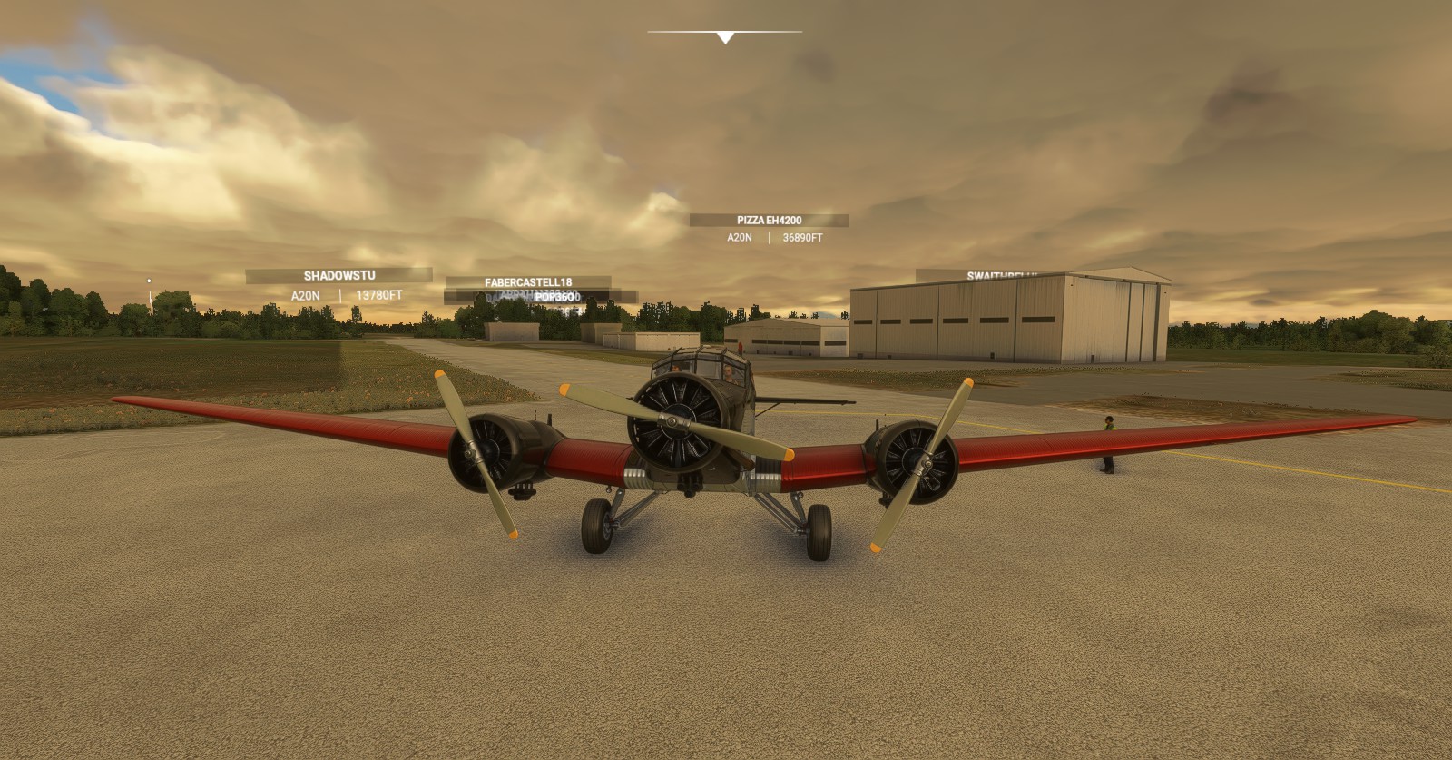
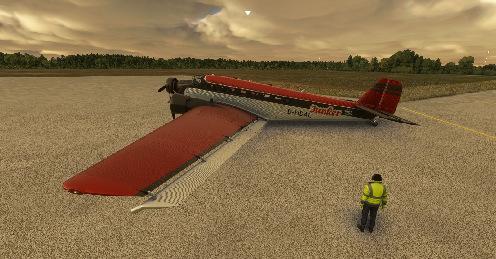
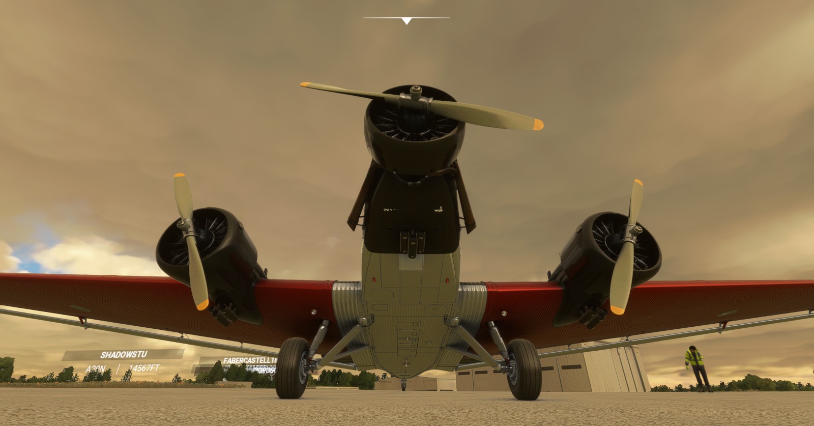
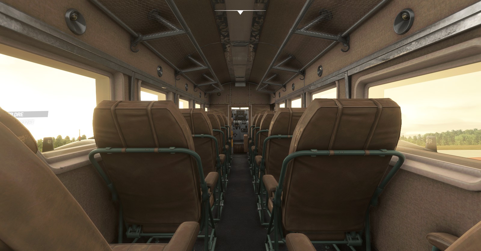
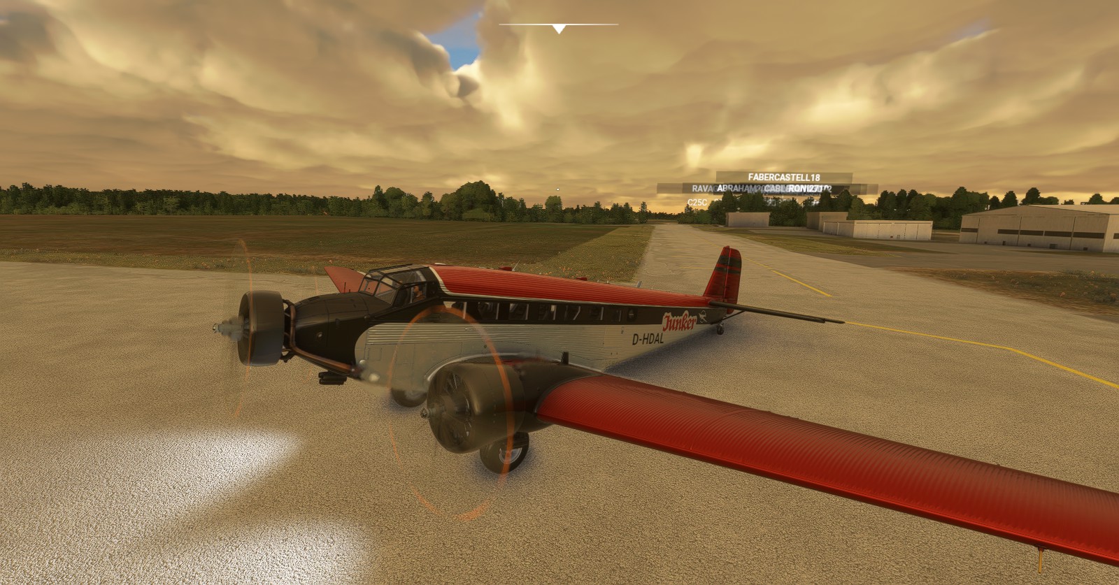
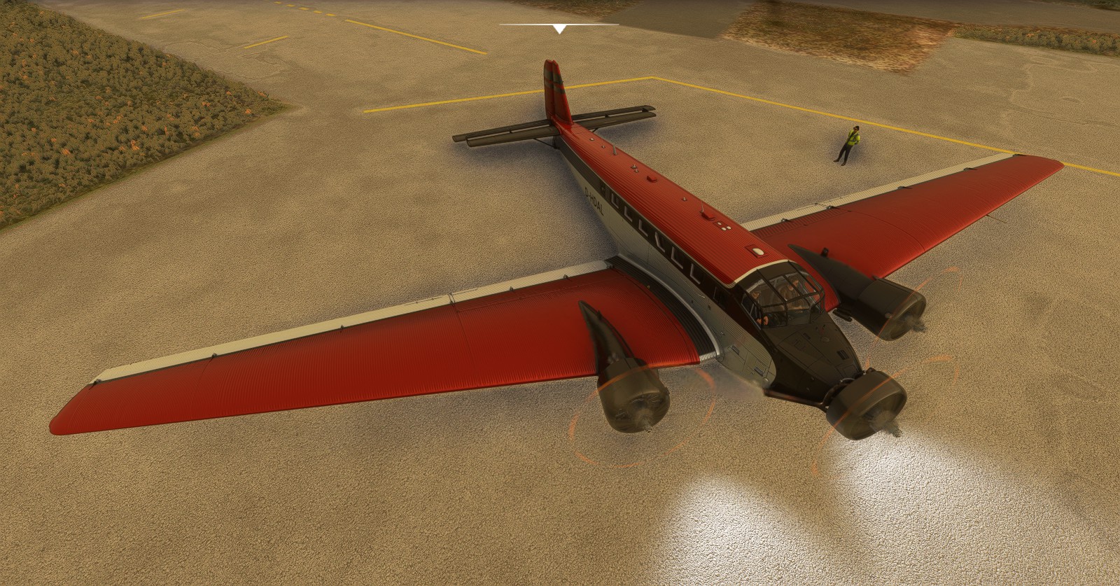
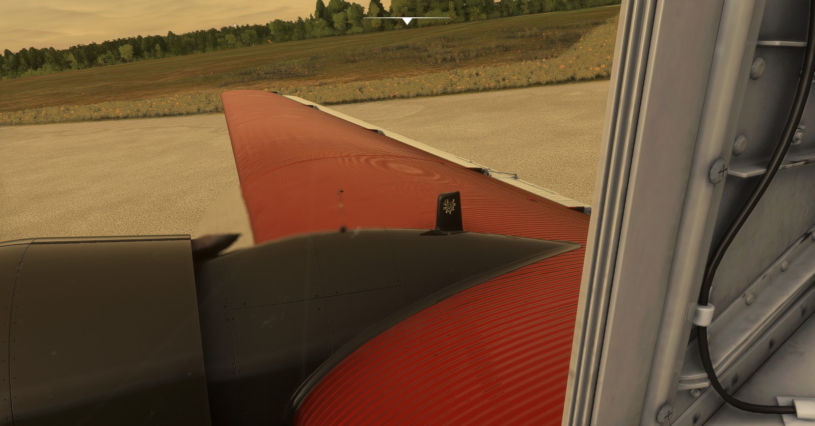
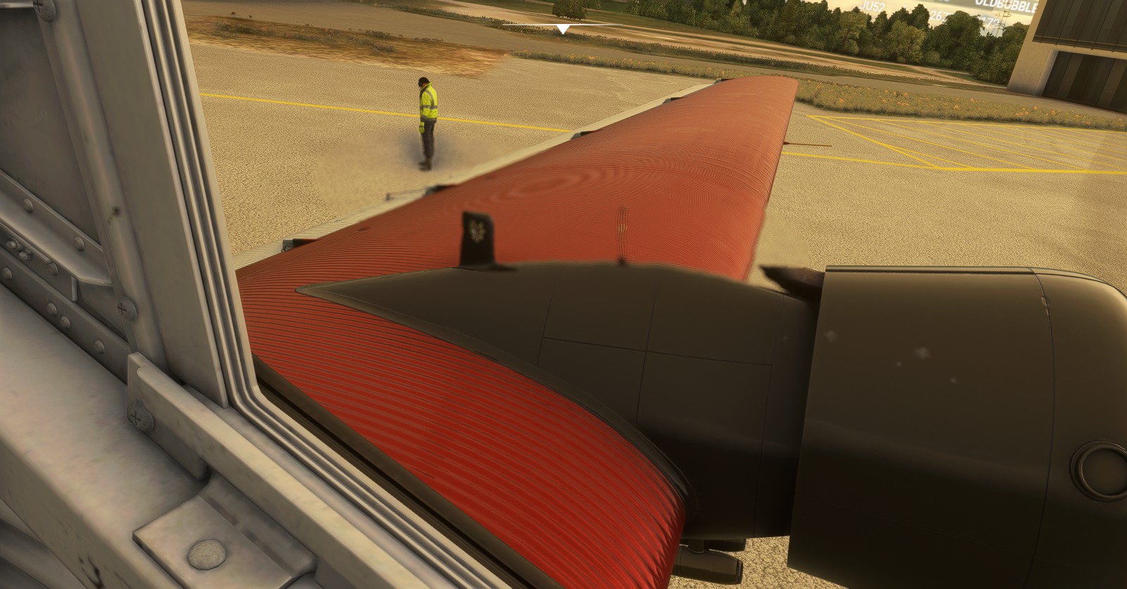
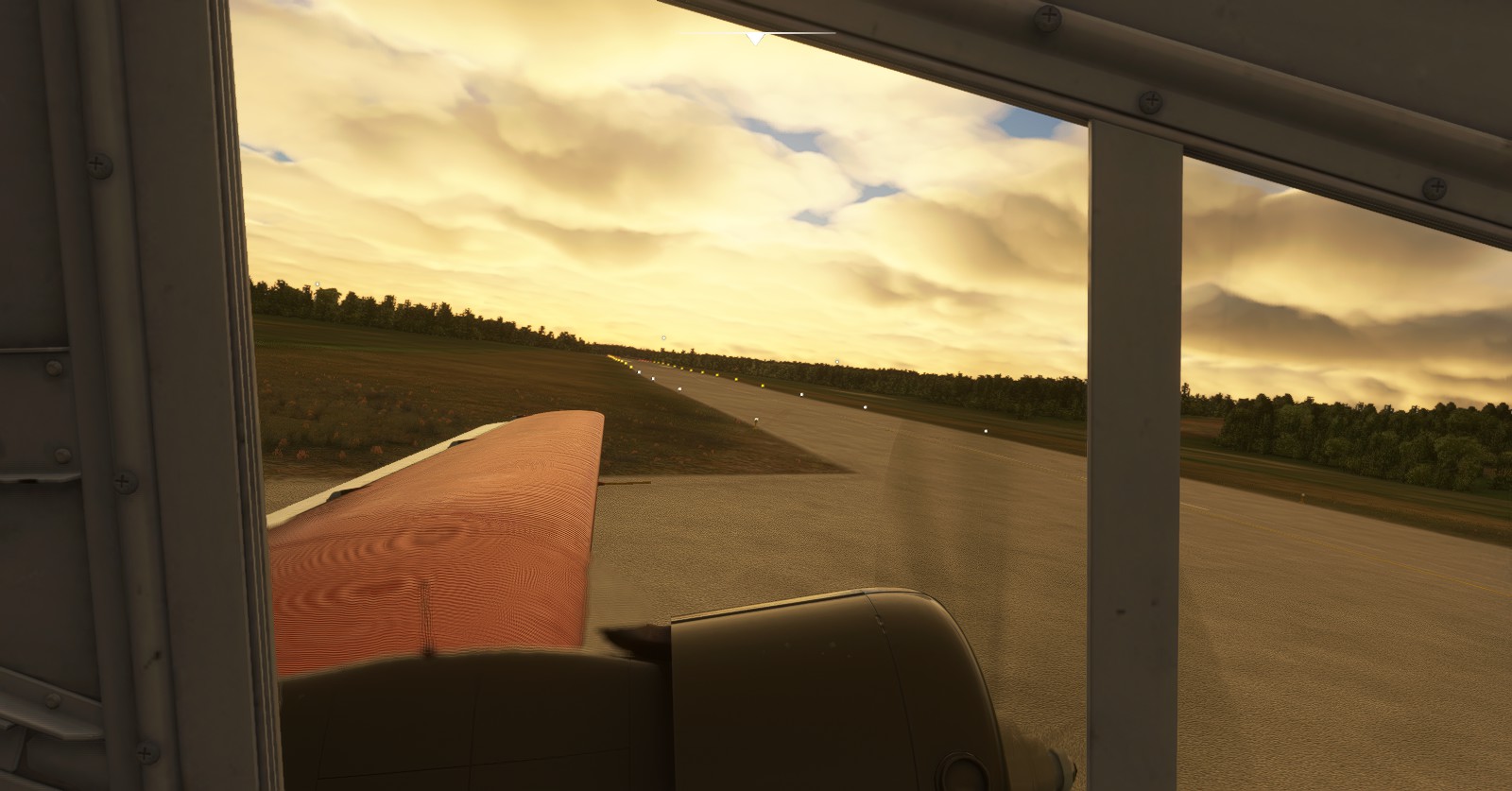
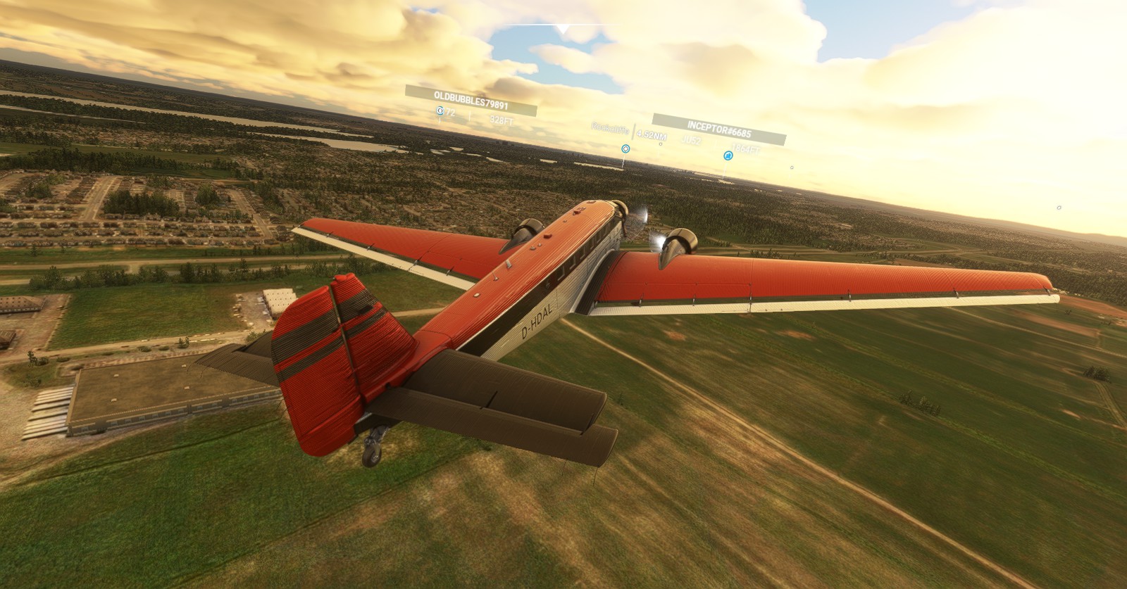
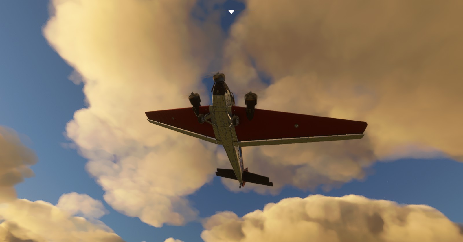
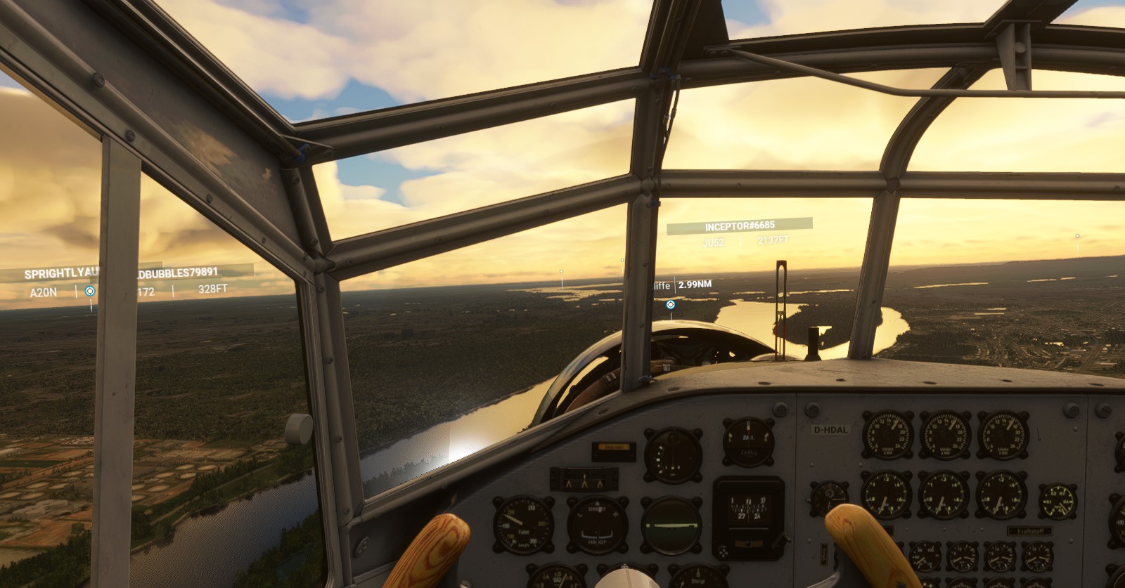
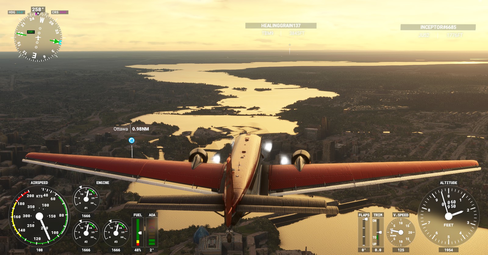
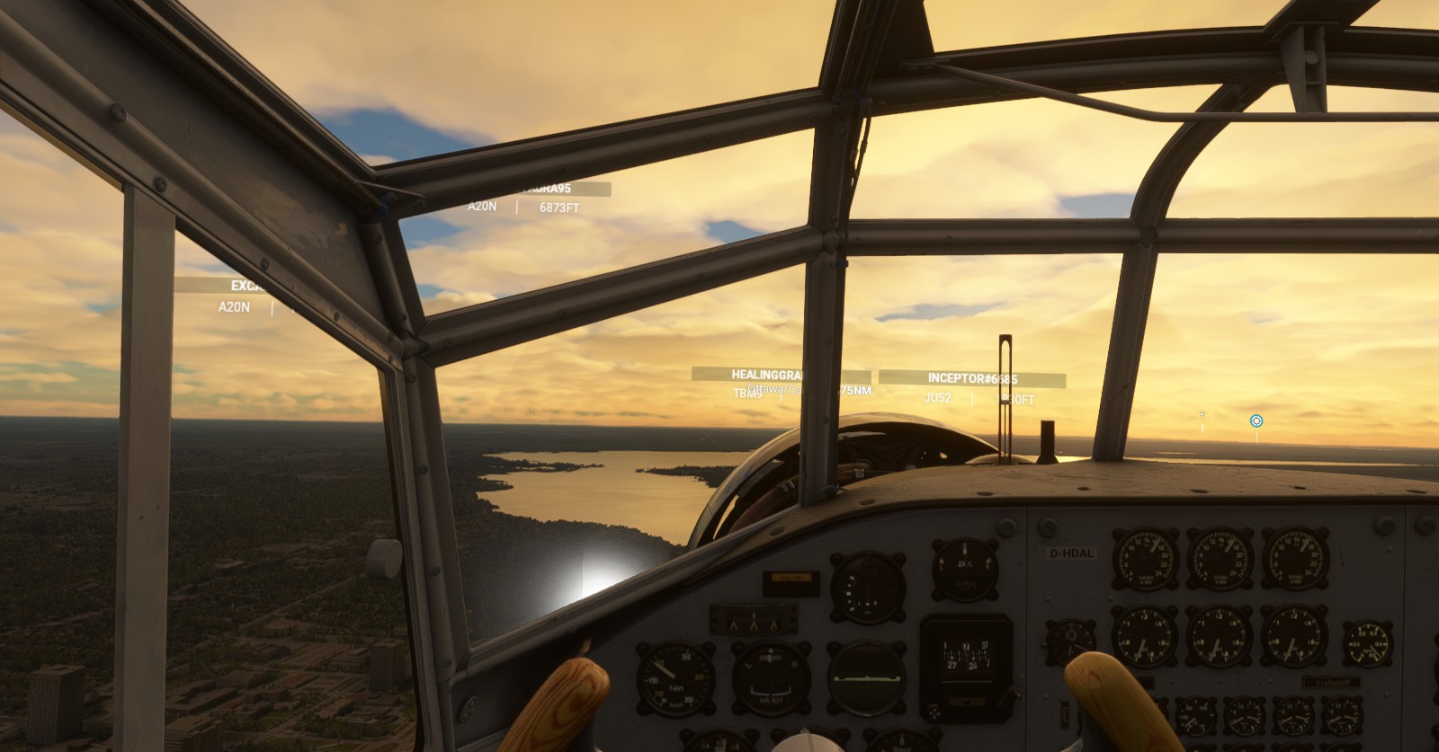
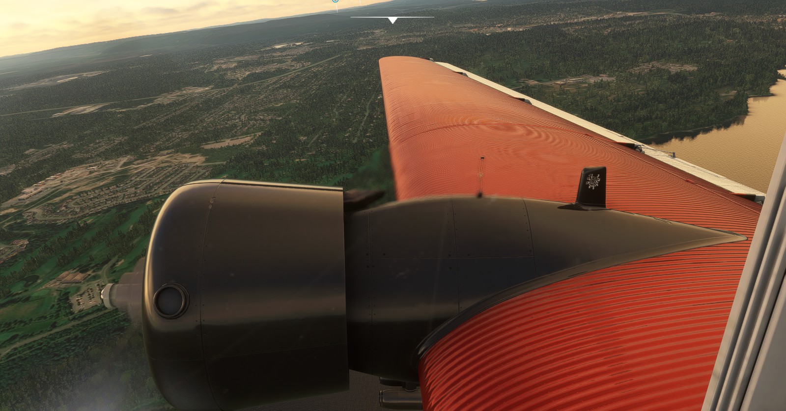
I finally have access to the JU-52 Payware plane. I now had to familiarize myself with it, hence the flight from Gatineau’s Executive airport towards Carp. Just a quick flight. Flies well. Feels weighted, heavy, yet powerful. The checklists takes a good while thanks to the oil needing to be heated to 40 Celsius.
Ottawa’s Carp (CYRP) > North Bay (CYYB):
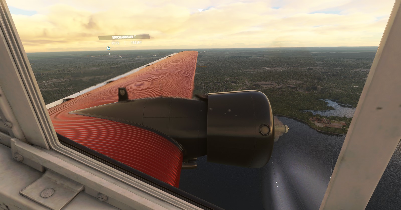
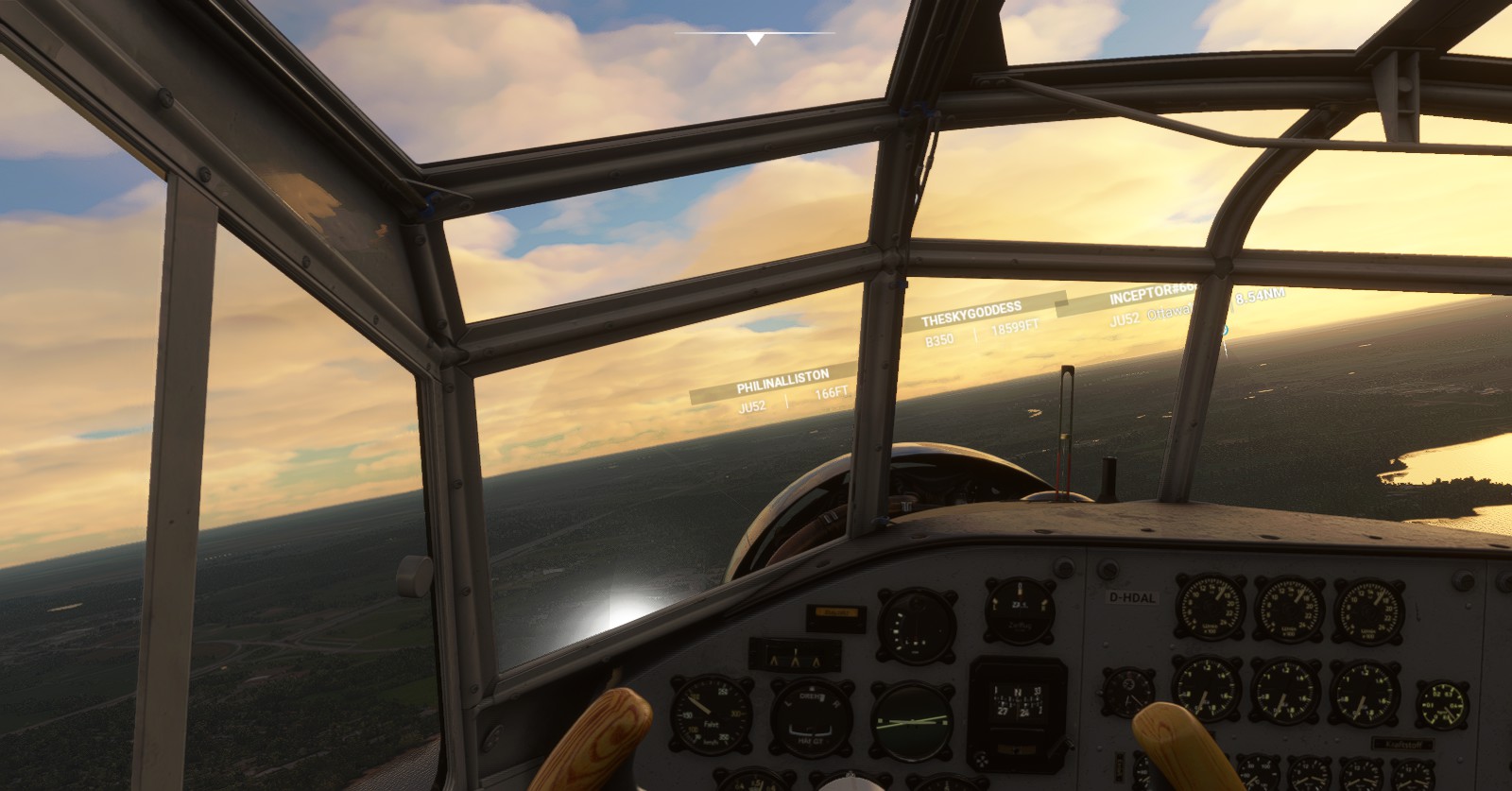
Let the real flying begin. Let us head west! Let’s leave Ottawa behind to go on our journey west to a certain location while admiring the scenery on the way.
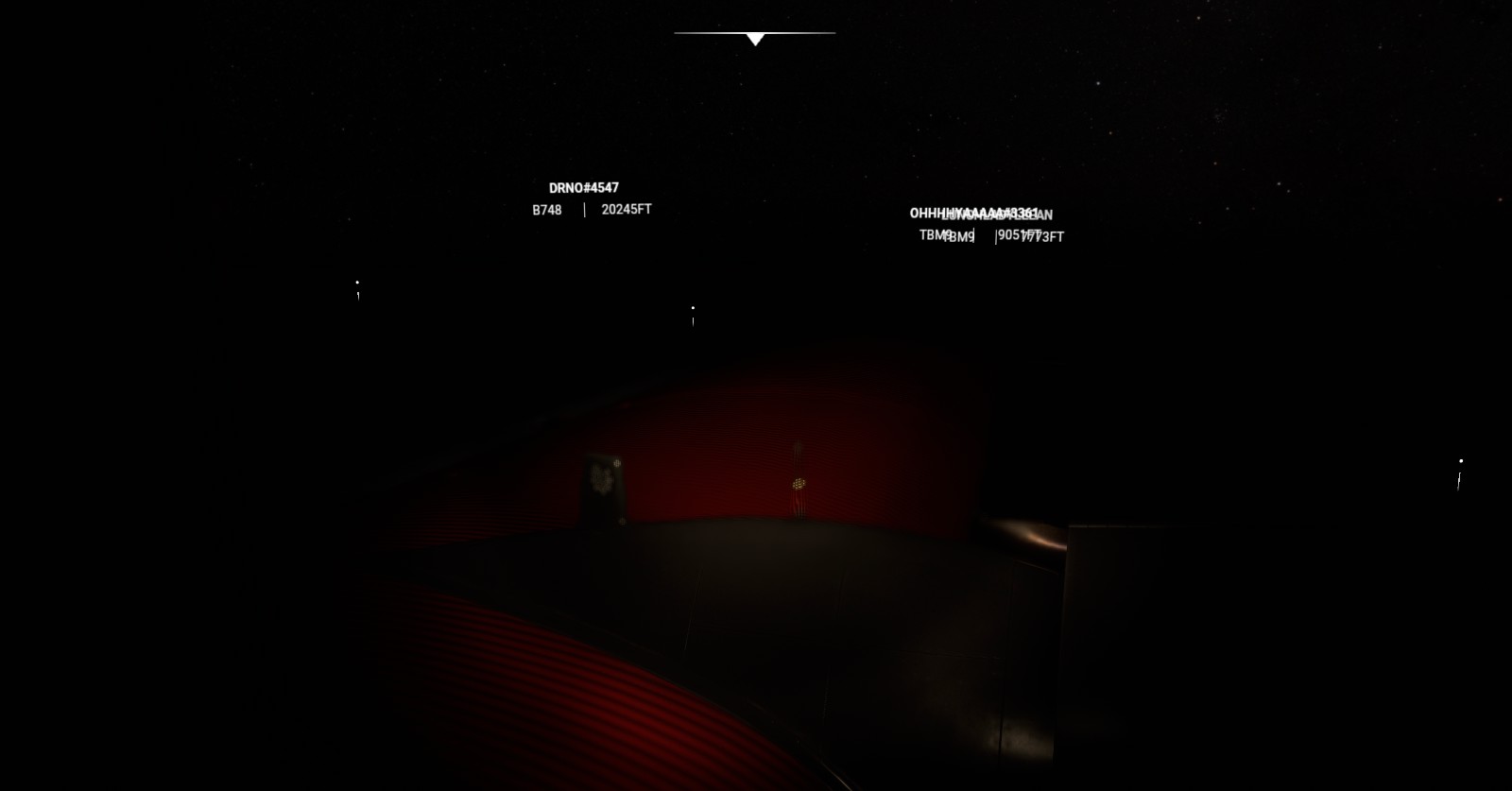
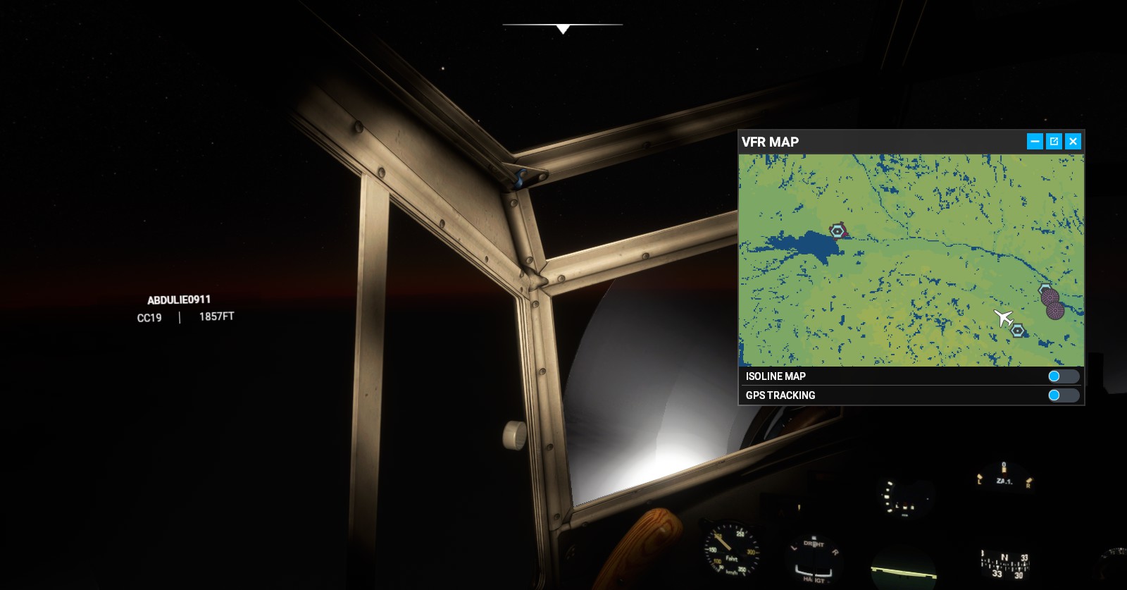
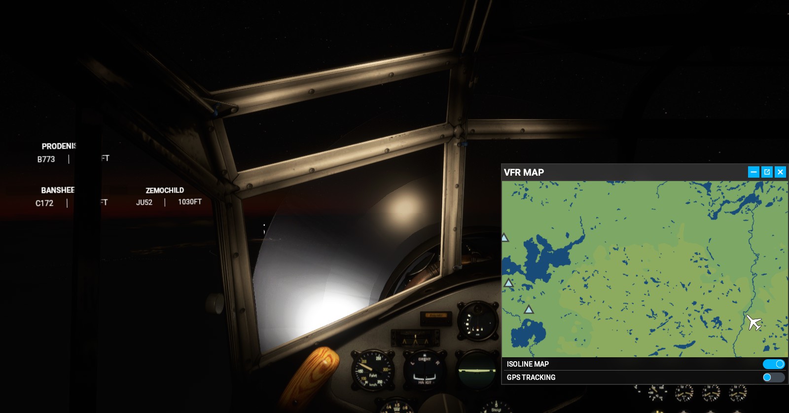
North Bay (CYYB) > Sault Ste Marie (CYAM) (Diverted to ‘Elliot Lake Municipal Airport’ (CYEL):
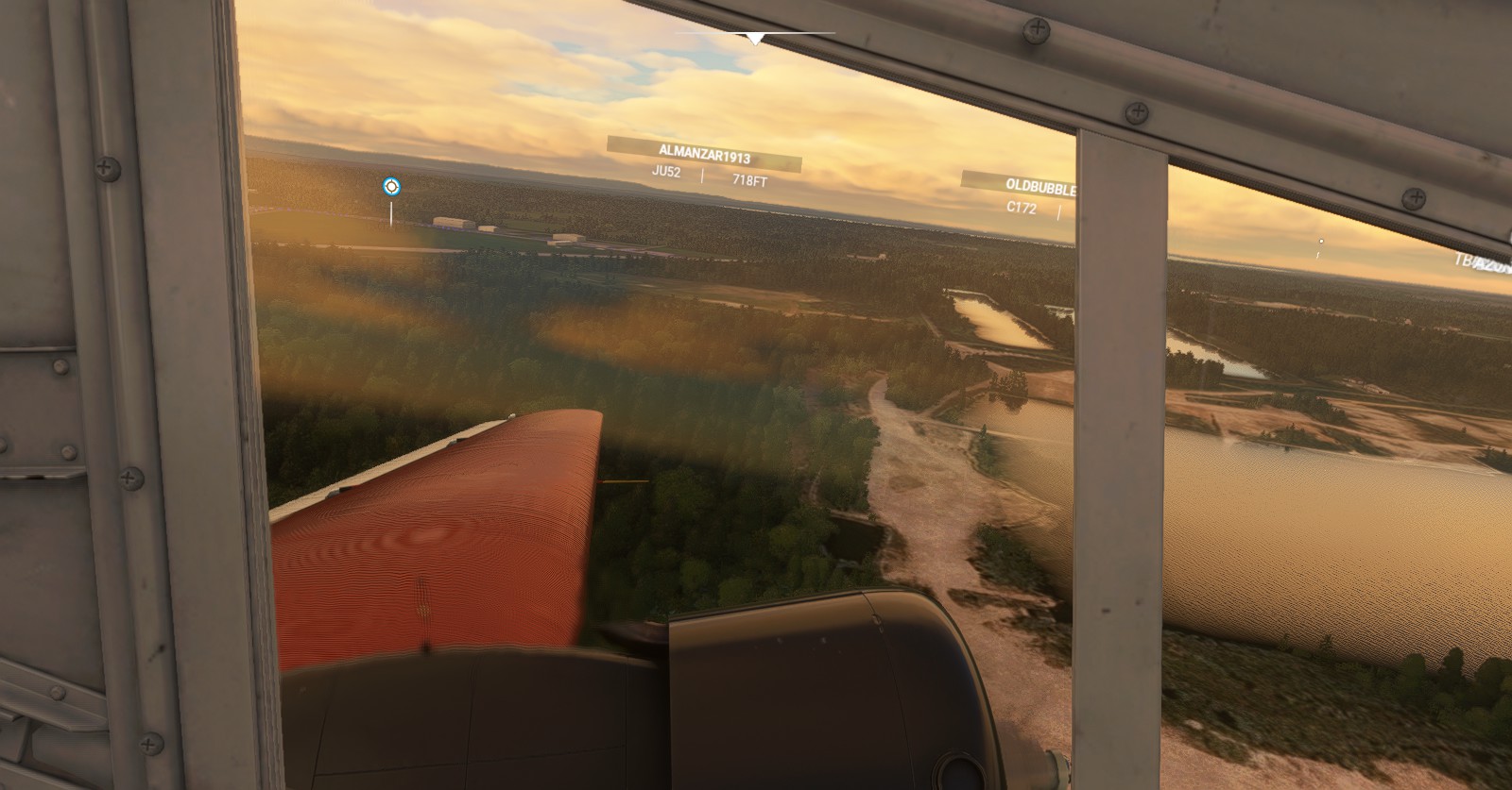
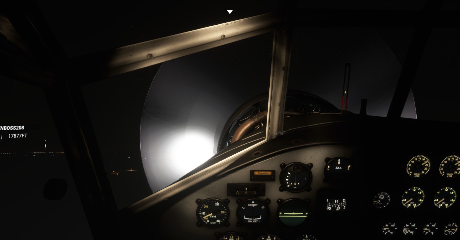
I originally planned to fly flight paths, this time aiming to go from North Bay to Sault Ste Marie. I however had to divert to ‘CYEL’ instead. Good thing I did, I had to eat. Swapped to a TBM9, continuing from CYEL to Sault Ste Marie airport. This is where the experience became a bit funky once having reached Sault Ste Marie. Thankfully, landing the JU-52 at CYEL was professionally done.
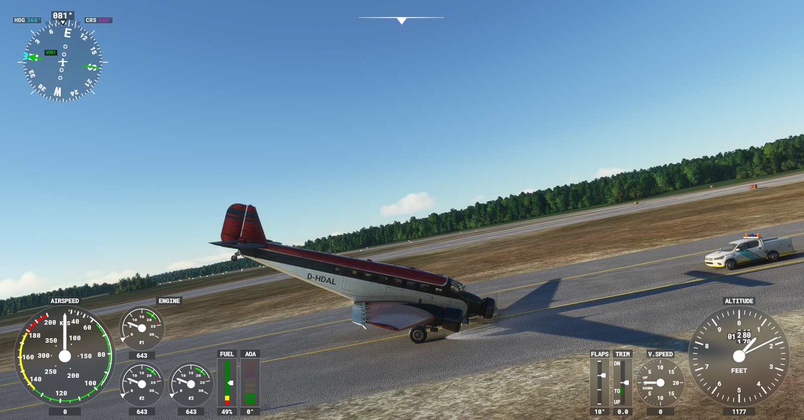
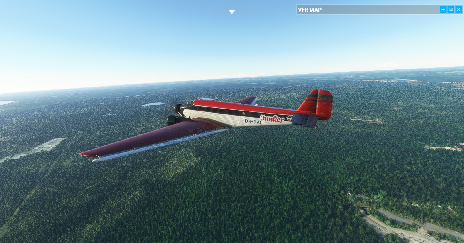
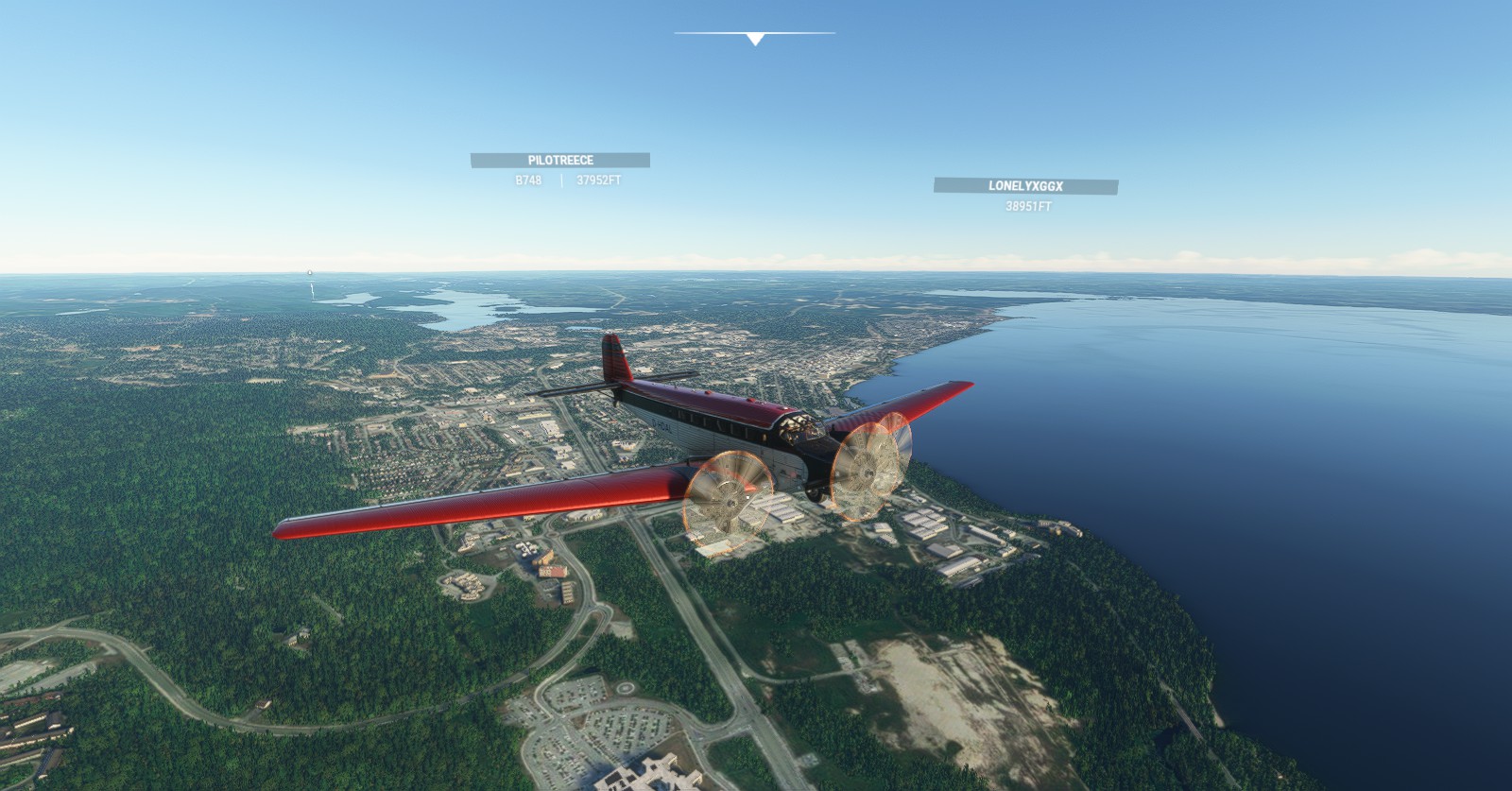
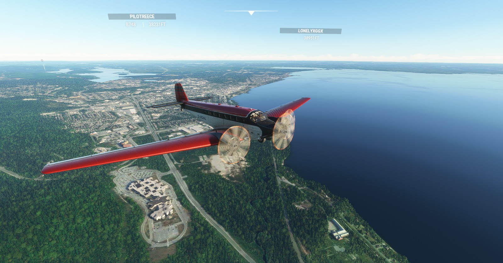
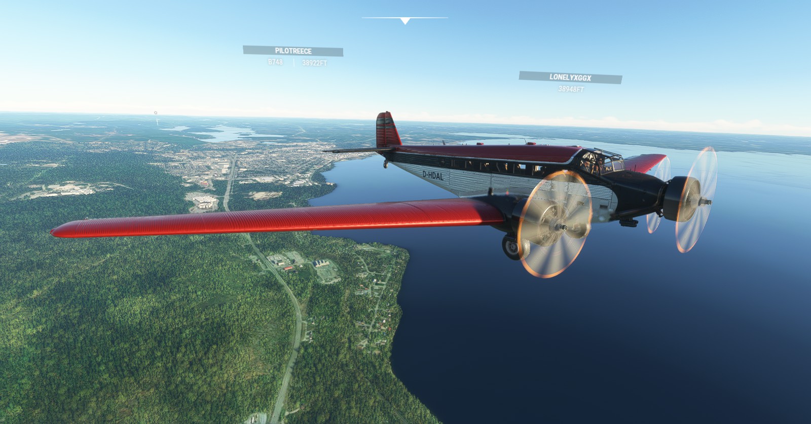
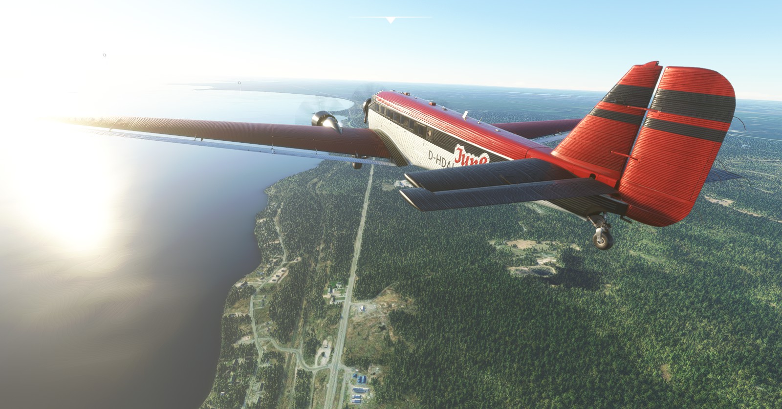
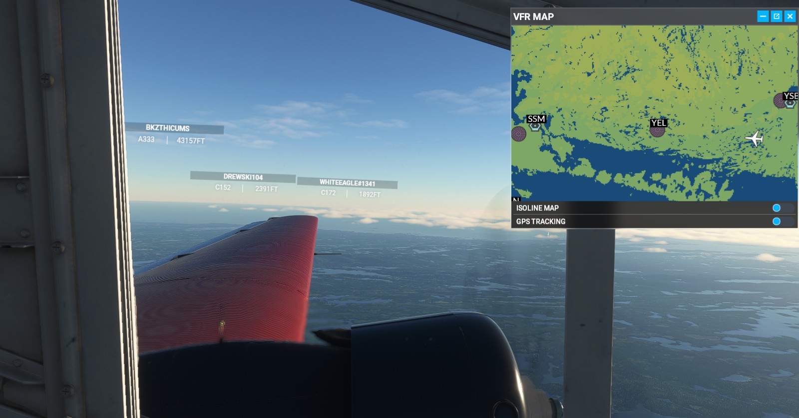
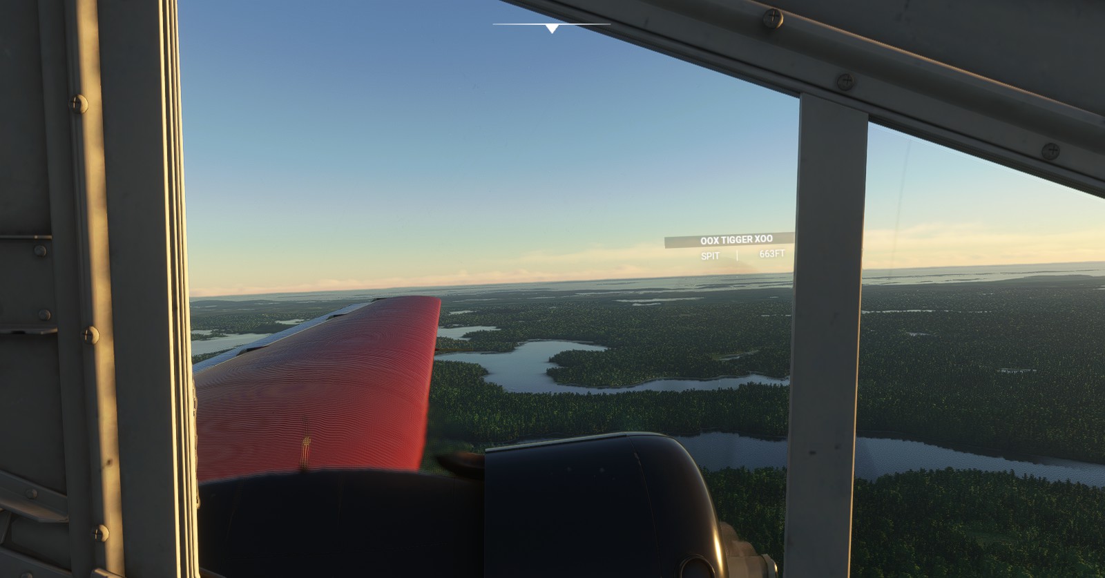
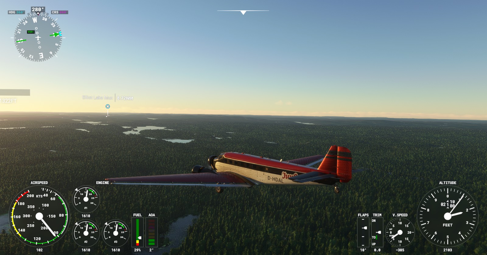
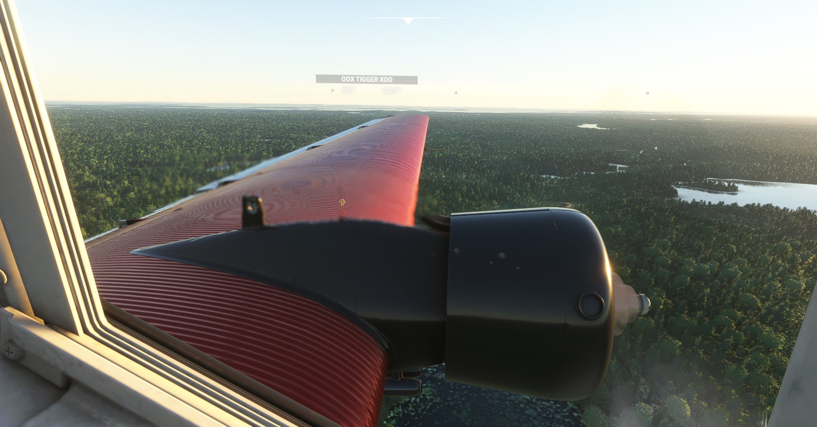
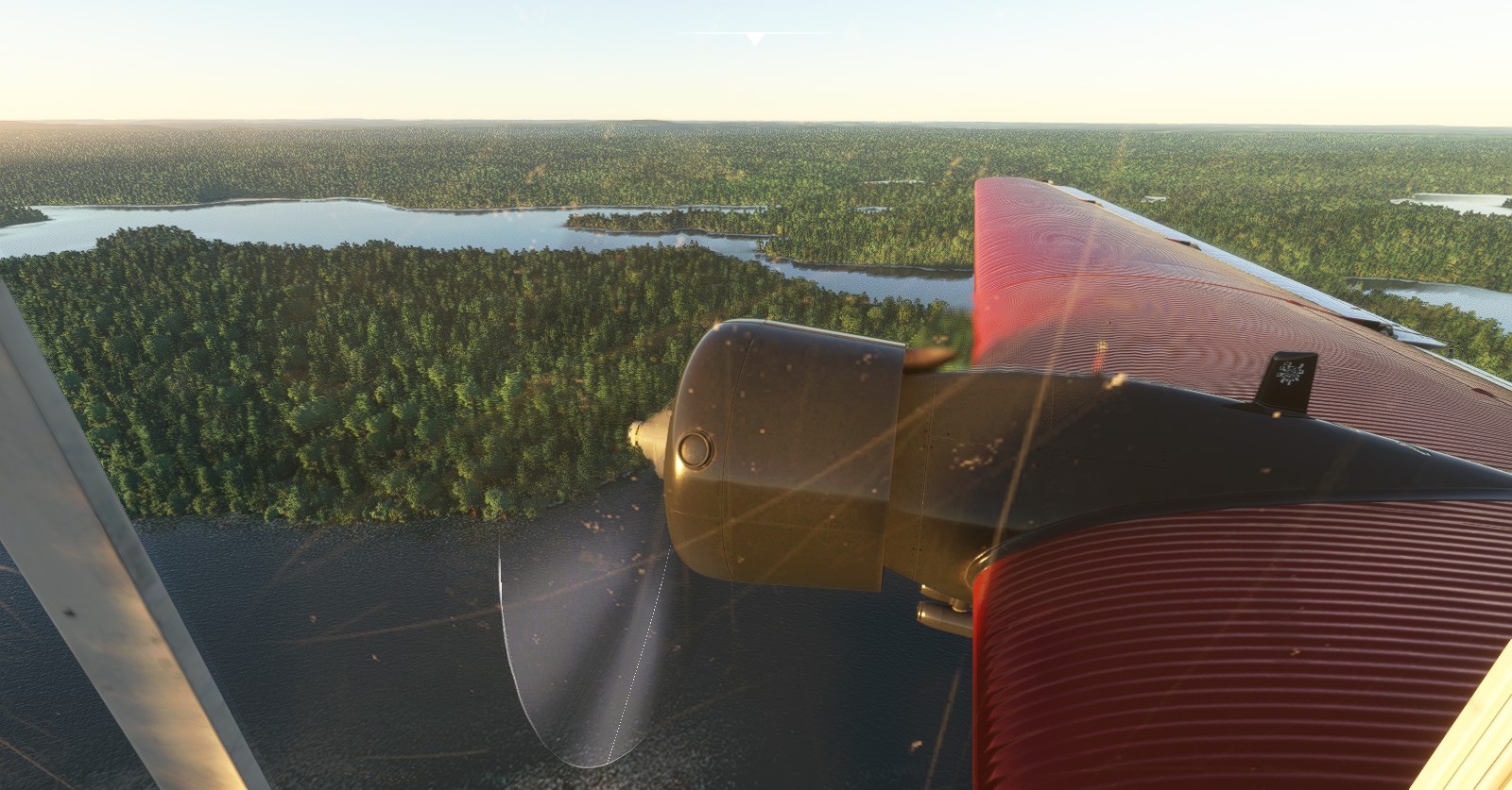
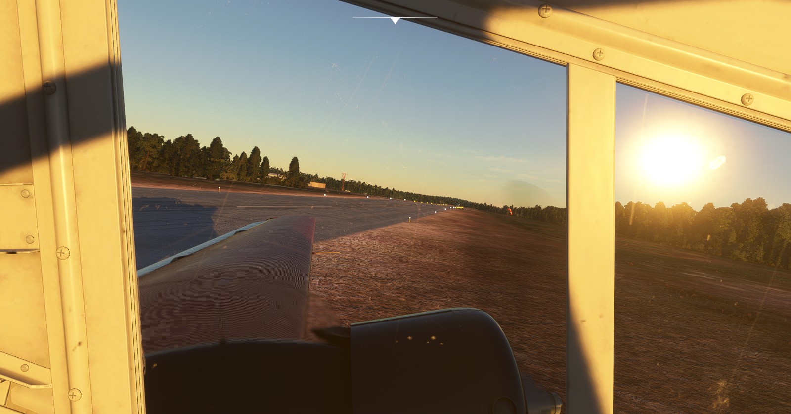
Elliot Lake Municipal Airport’ (CYEL) > Sault Ste Marie (CYAM):
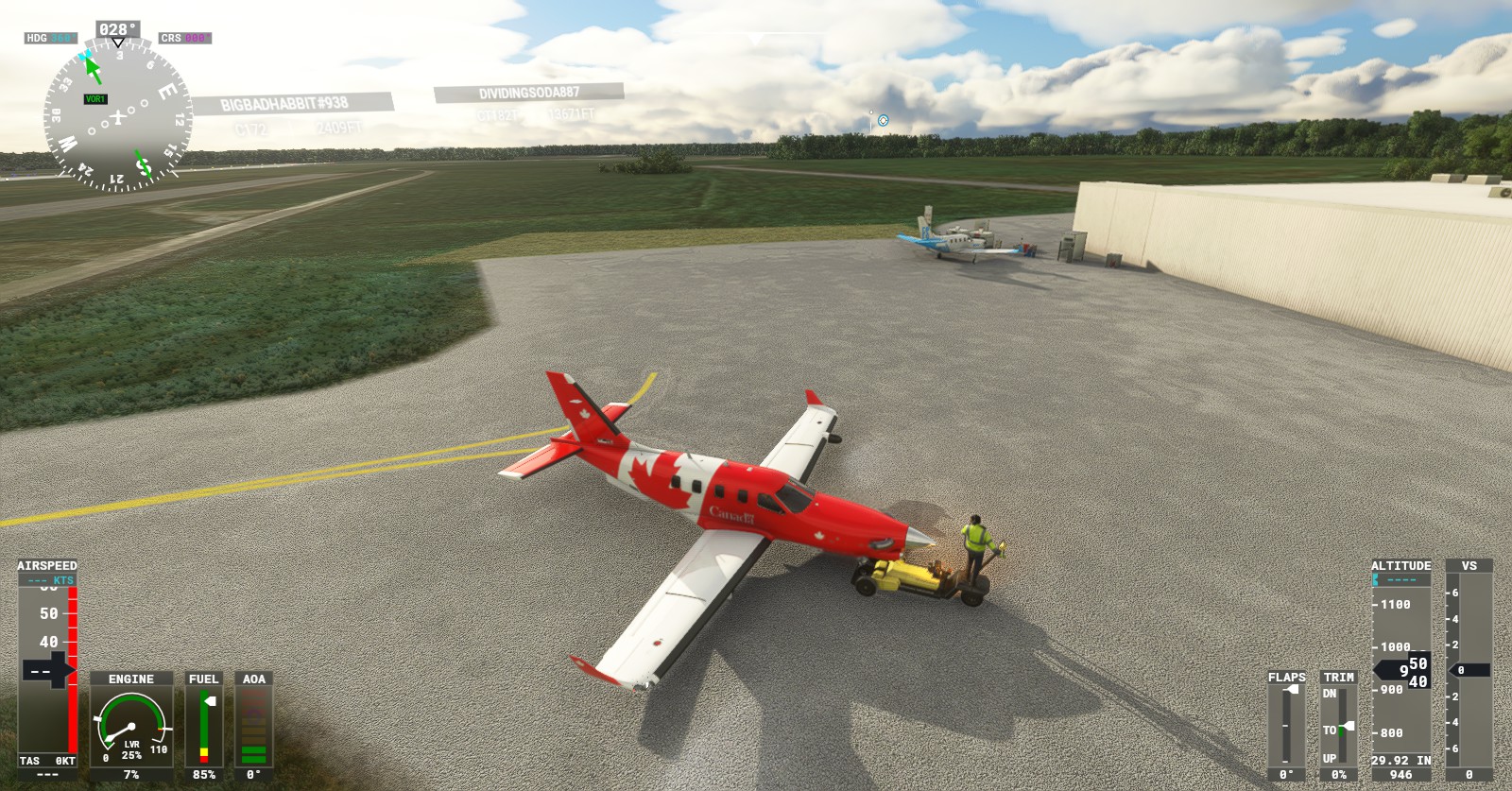
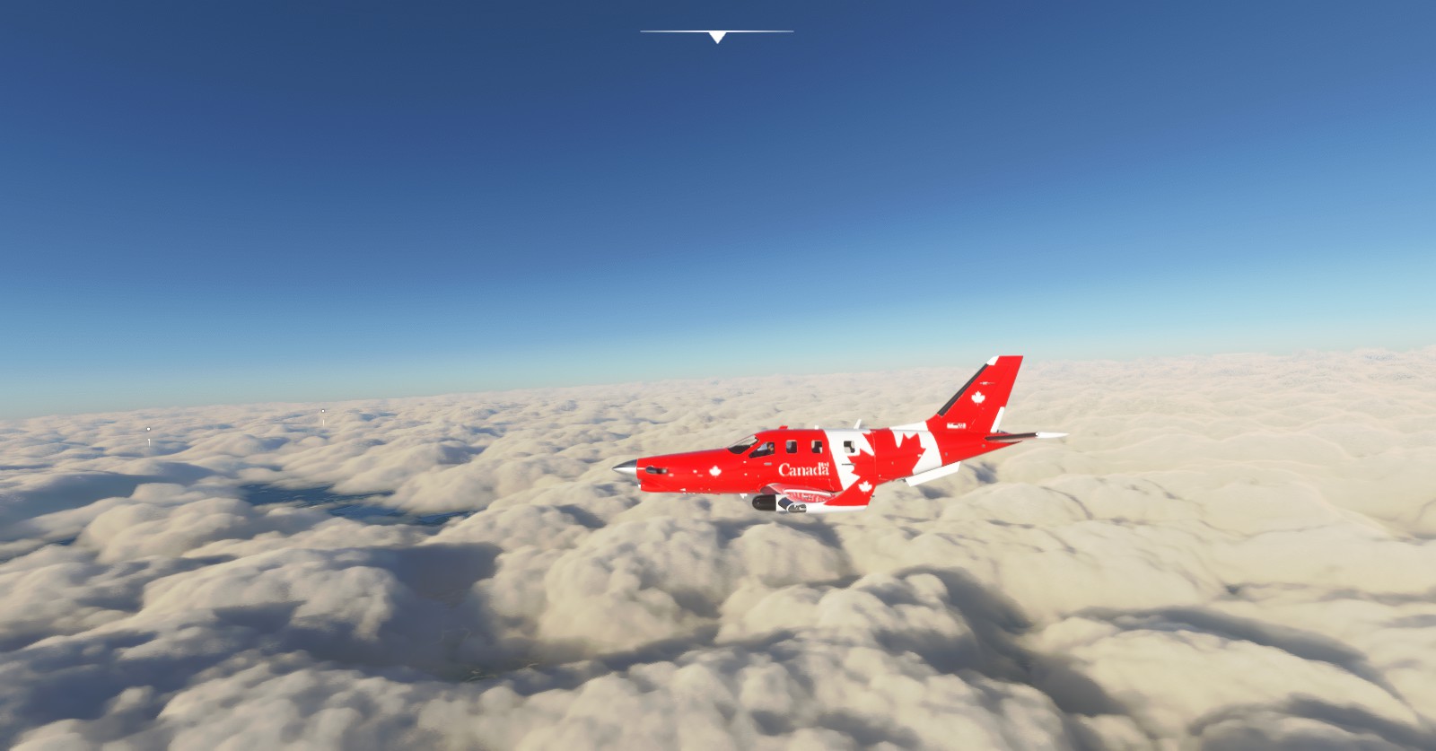
Seeing how clunky and slow the JU-52 is I decided to switch to the TBM9 (with Canadian colours) to continue the journey in a much quicker manner. Here, I realized how handy the terrain panel was, favouring both this plane and the King Air, also with Canadian colours.
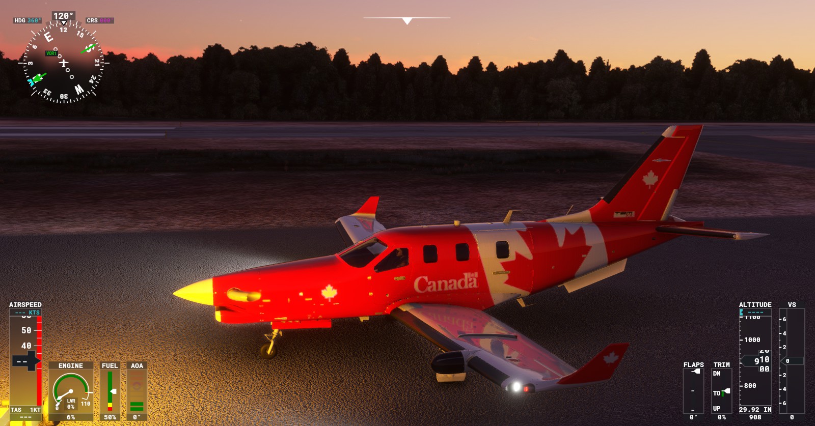
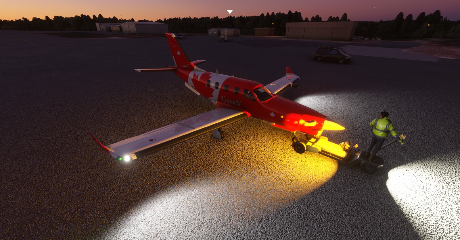
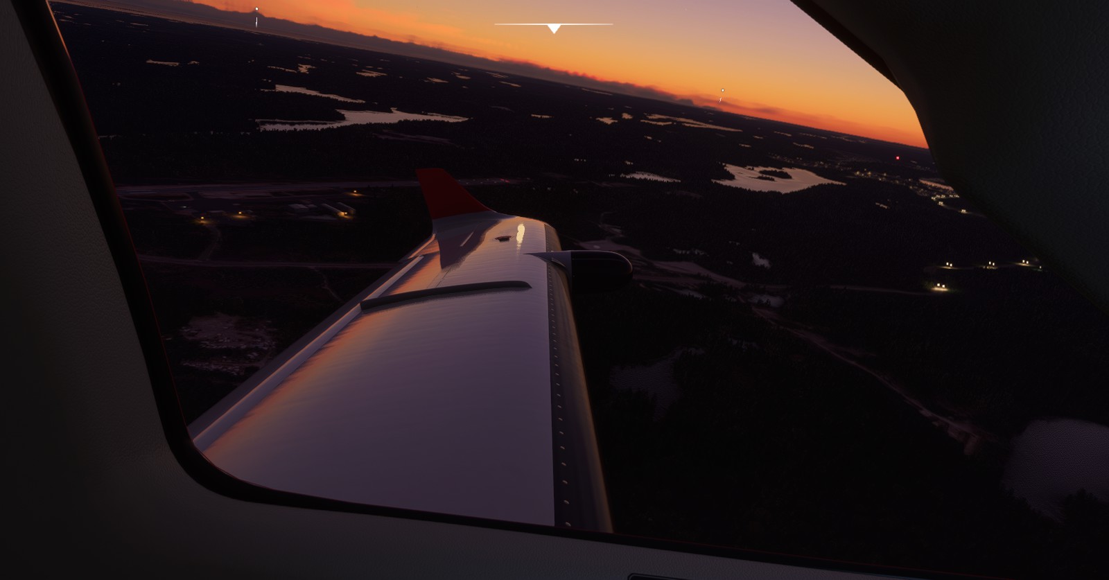
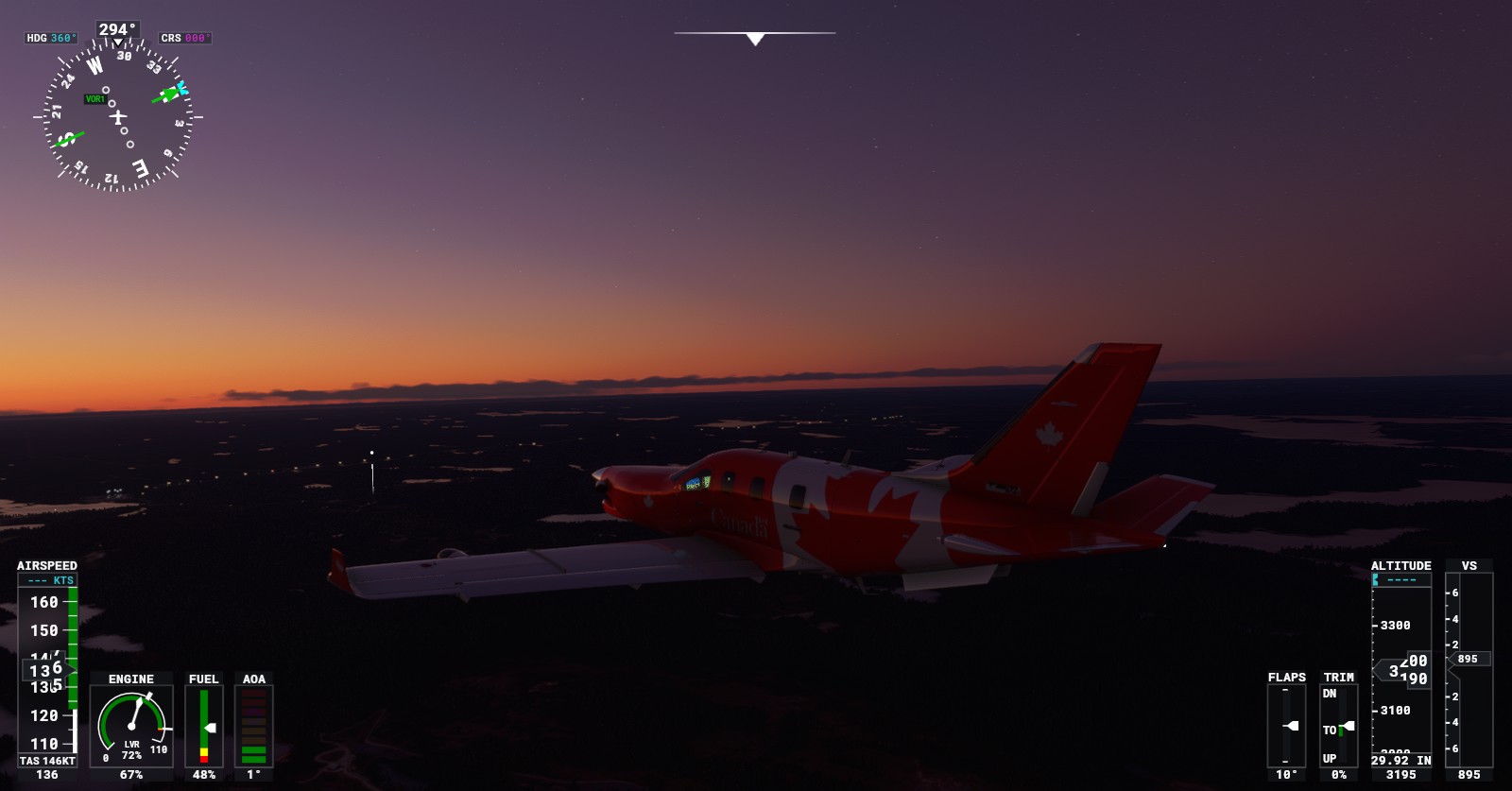
(No landing screenshots because of how ‘dull’ or ‘frustrated’ I was having to land at a very funky area. I wanted to swap into a King Air so badly.)
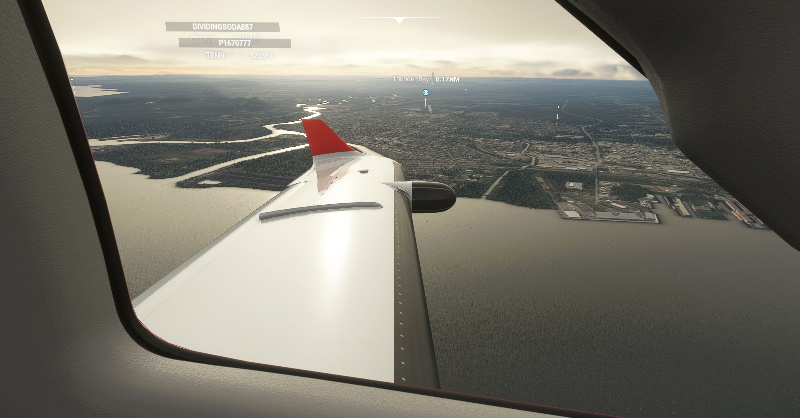
Sault Ste Marie (CYAM) > Thunder Bay (CYQT):
Possibly frustrated, I swapped over to a King Air (also with Canadian colours) to fly from Sault Ste Marine towards Thunder Bay for that added night time auto-pilot familiarity. Needed to fly past that water ASAP to cover any lost ground with the JU-52.
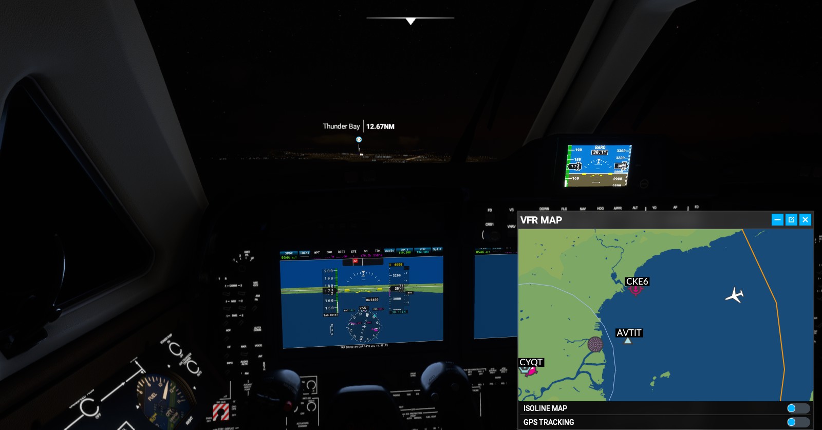
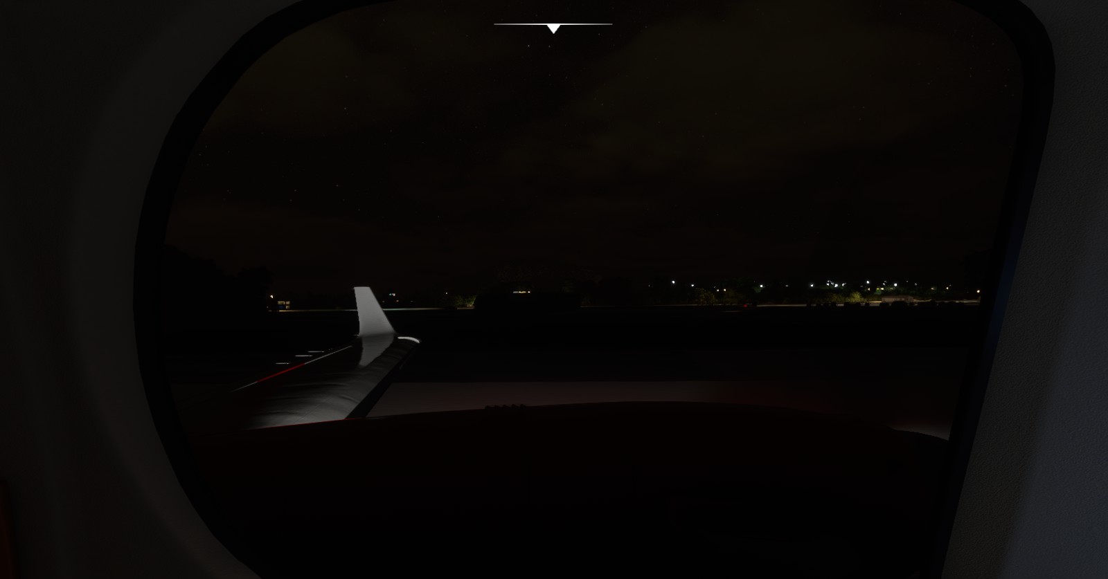
I’ve attempted to fly this area on other days/nights with an Airbus H135 with decent success. It’s not really a night flyer, especially with how dark Thunder Bay is in this game. Clouds, fog, among other factors.
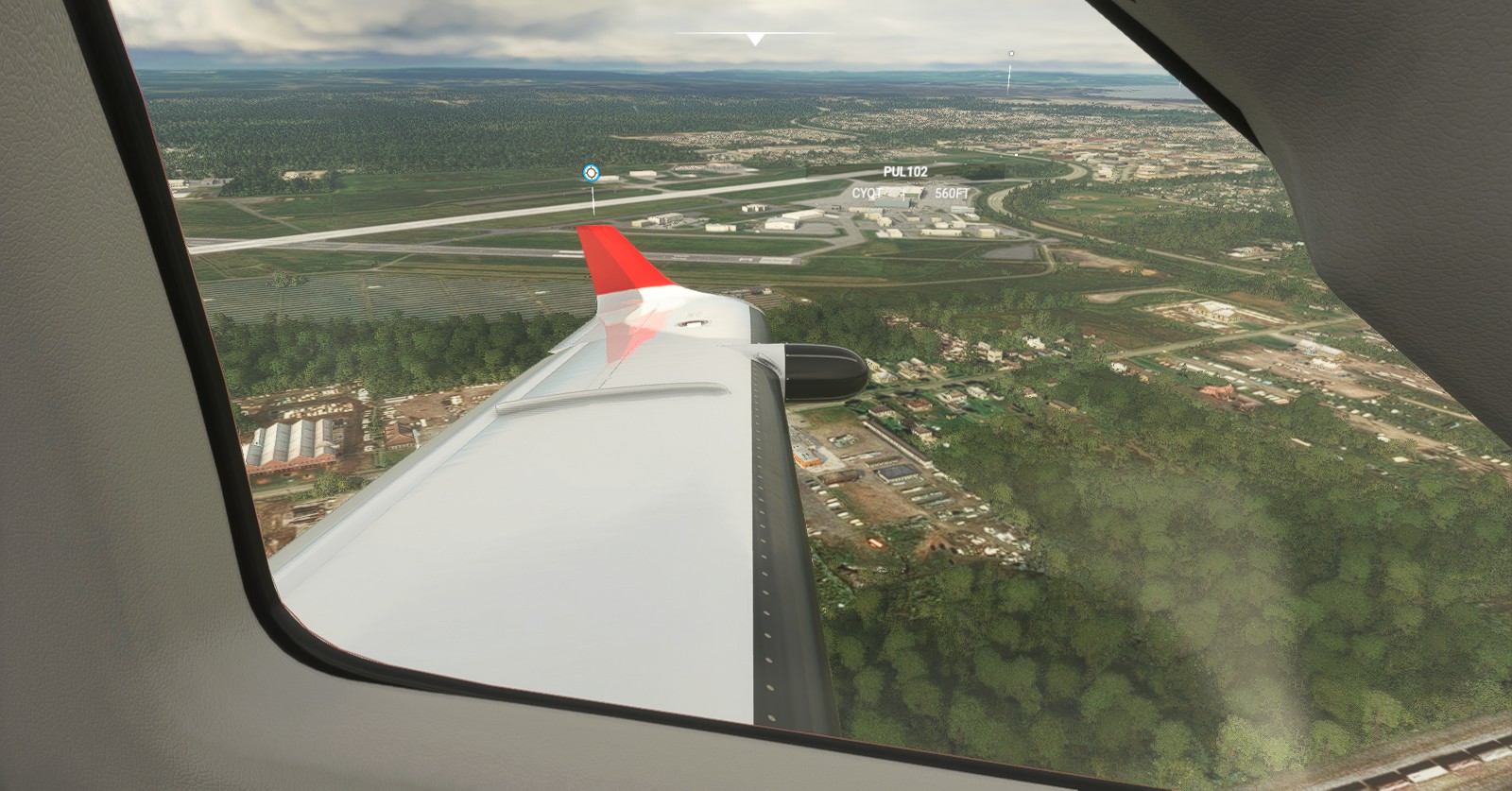
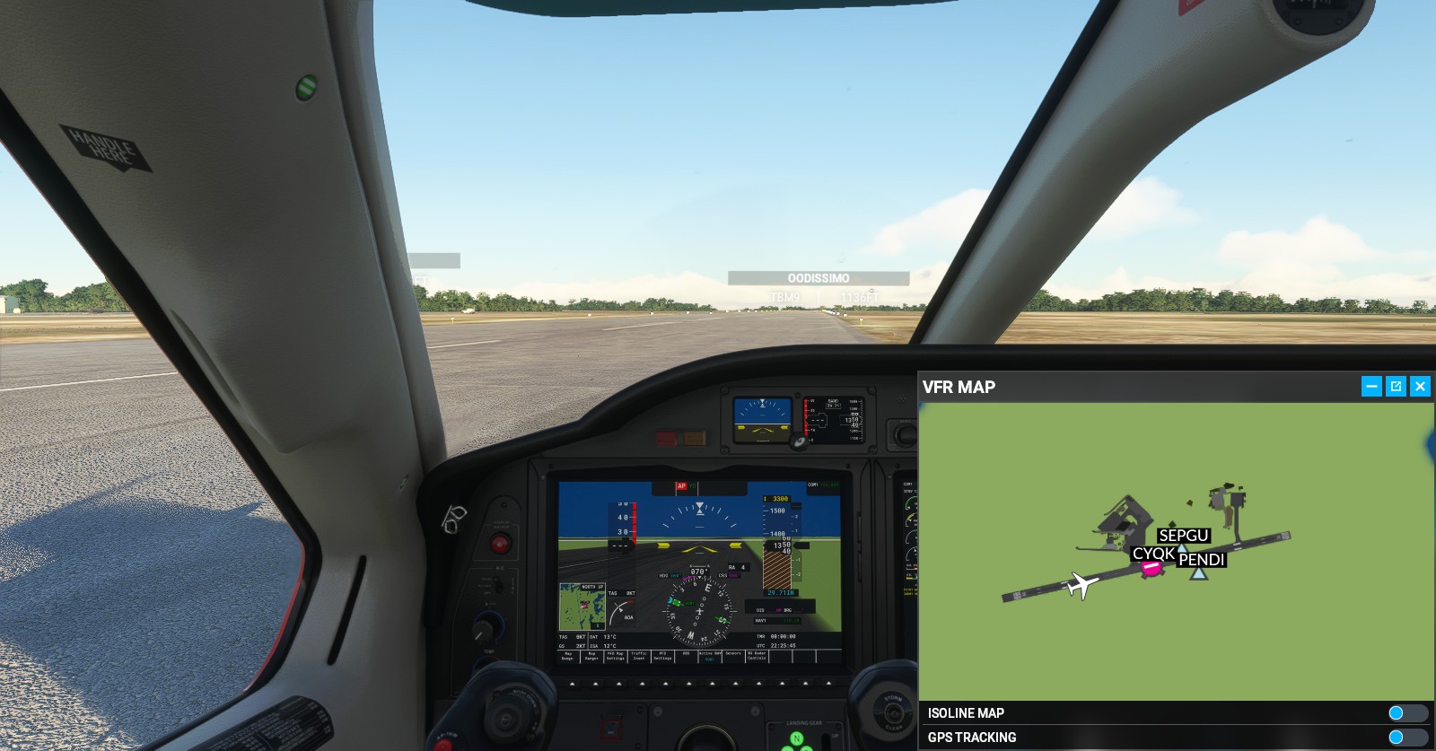
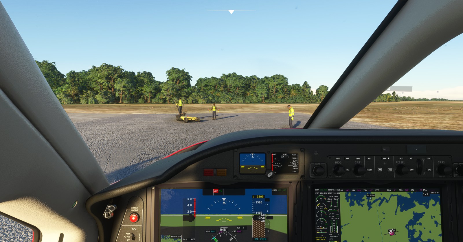
Thunder Bay (CYQT) > Kenora (CYQK):
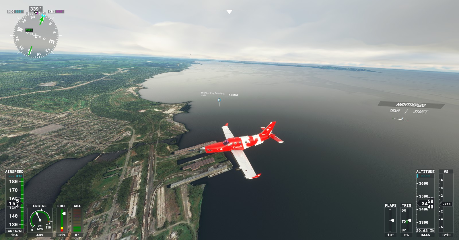
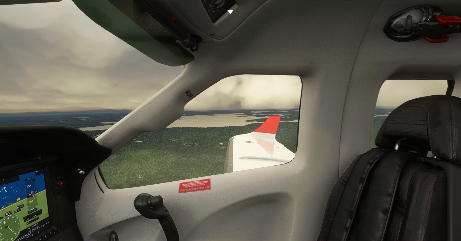
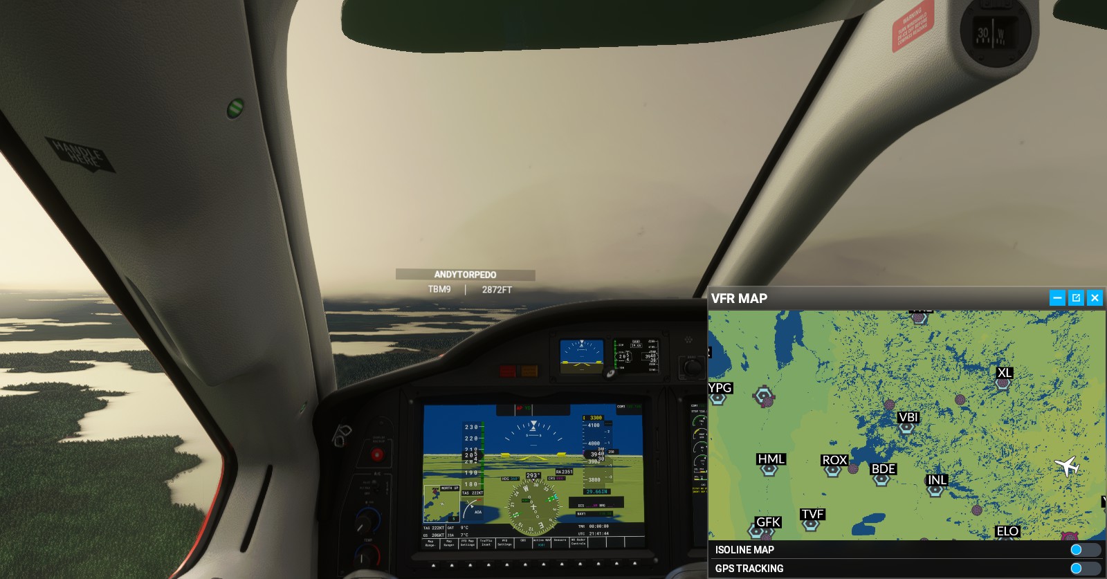
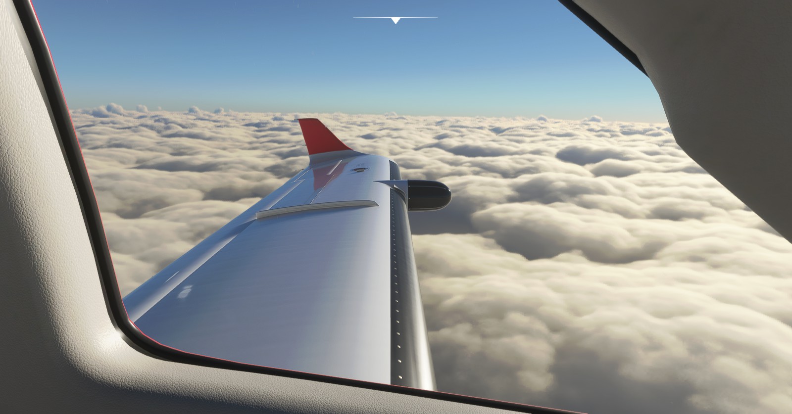
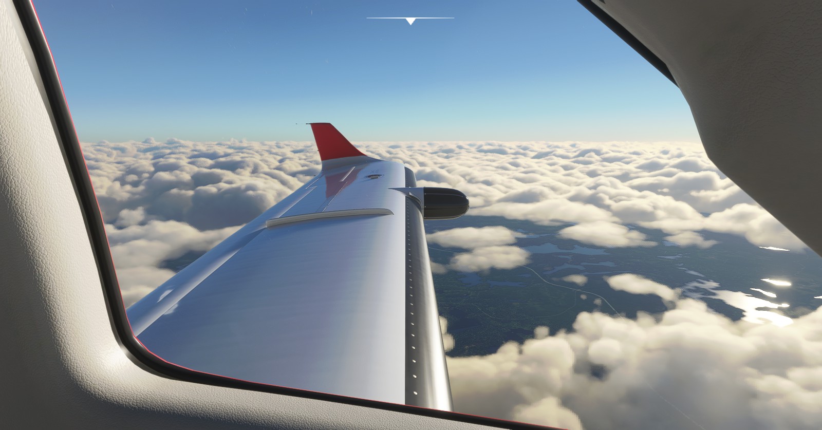
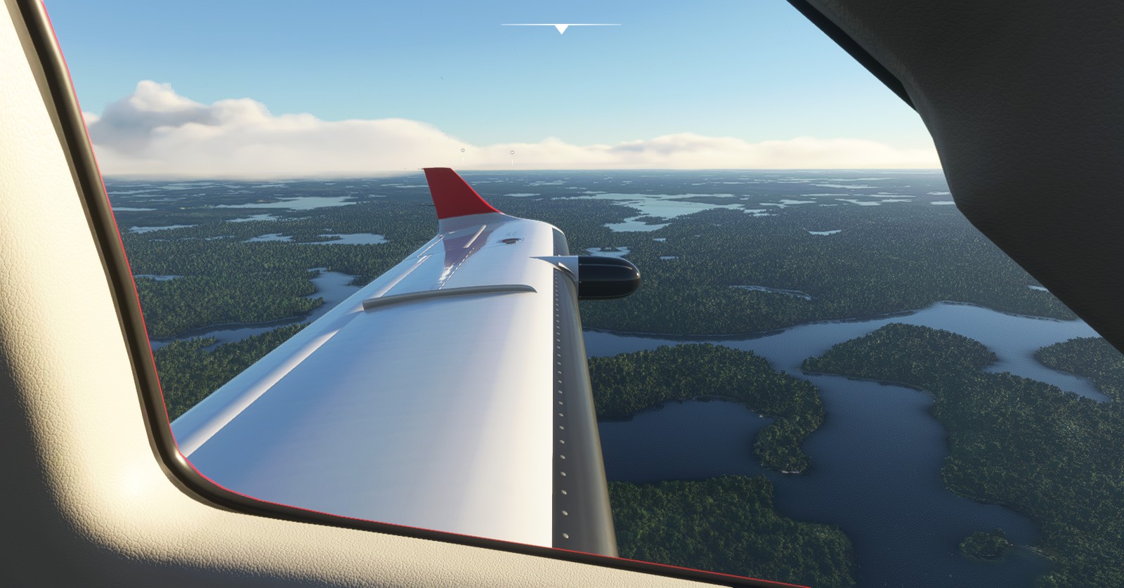
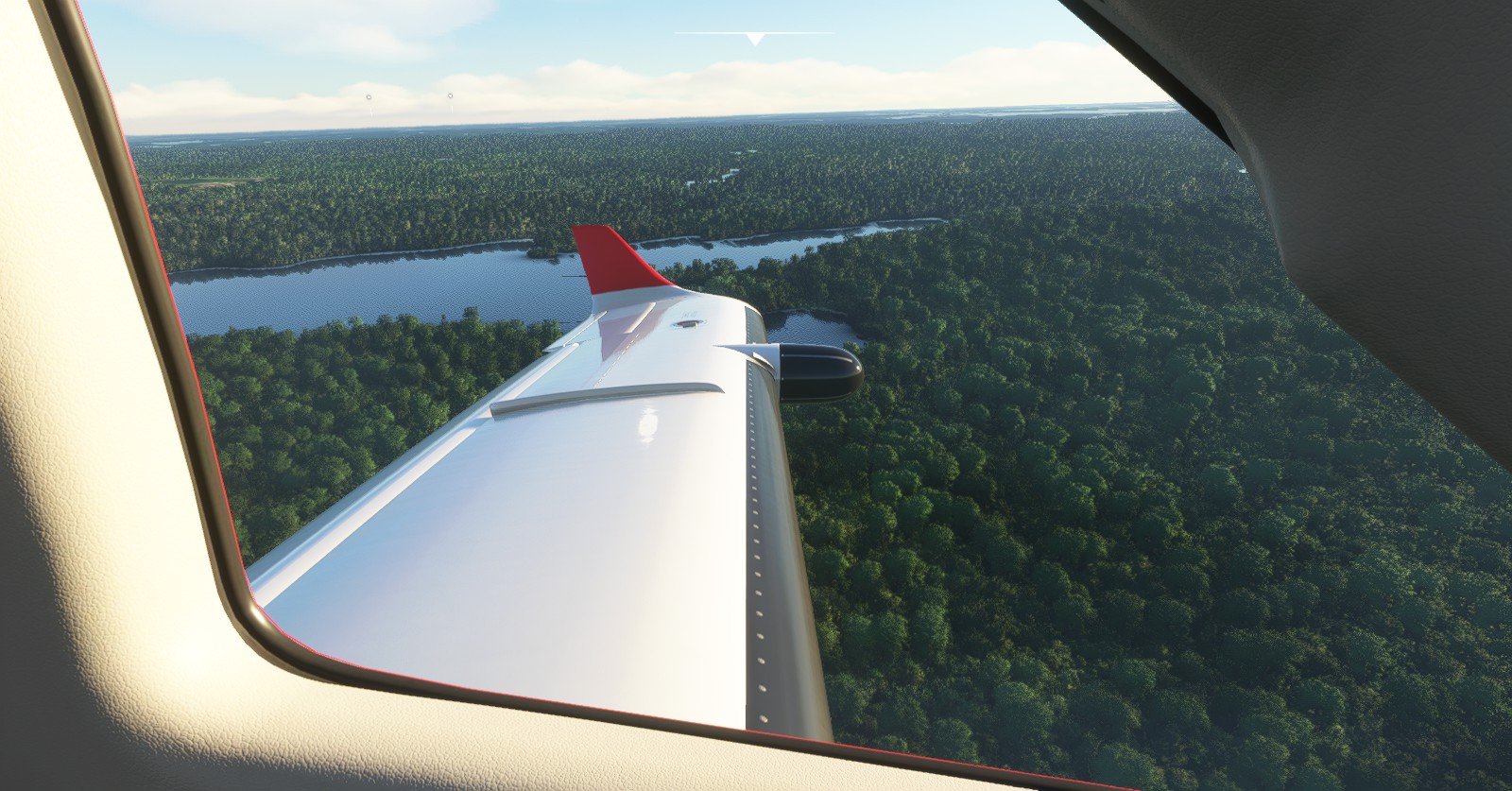
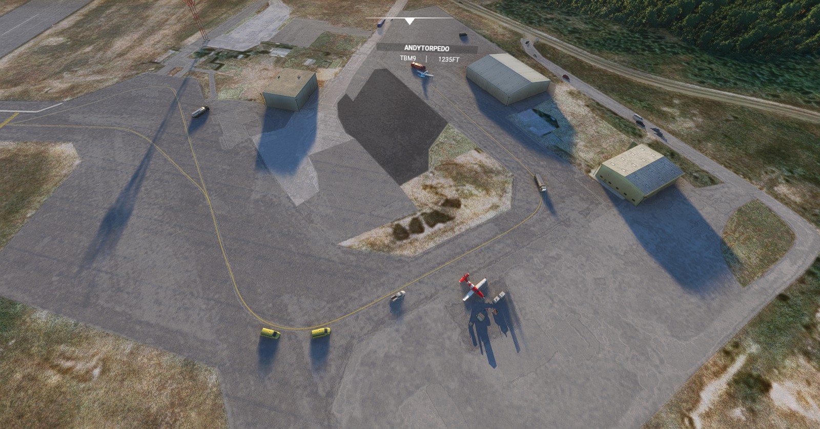
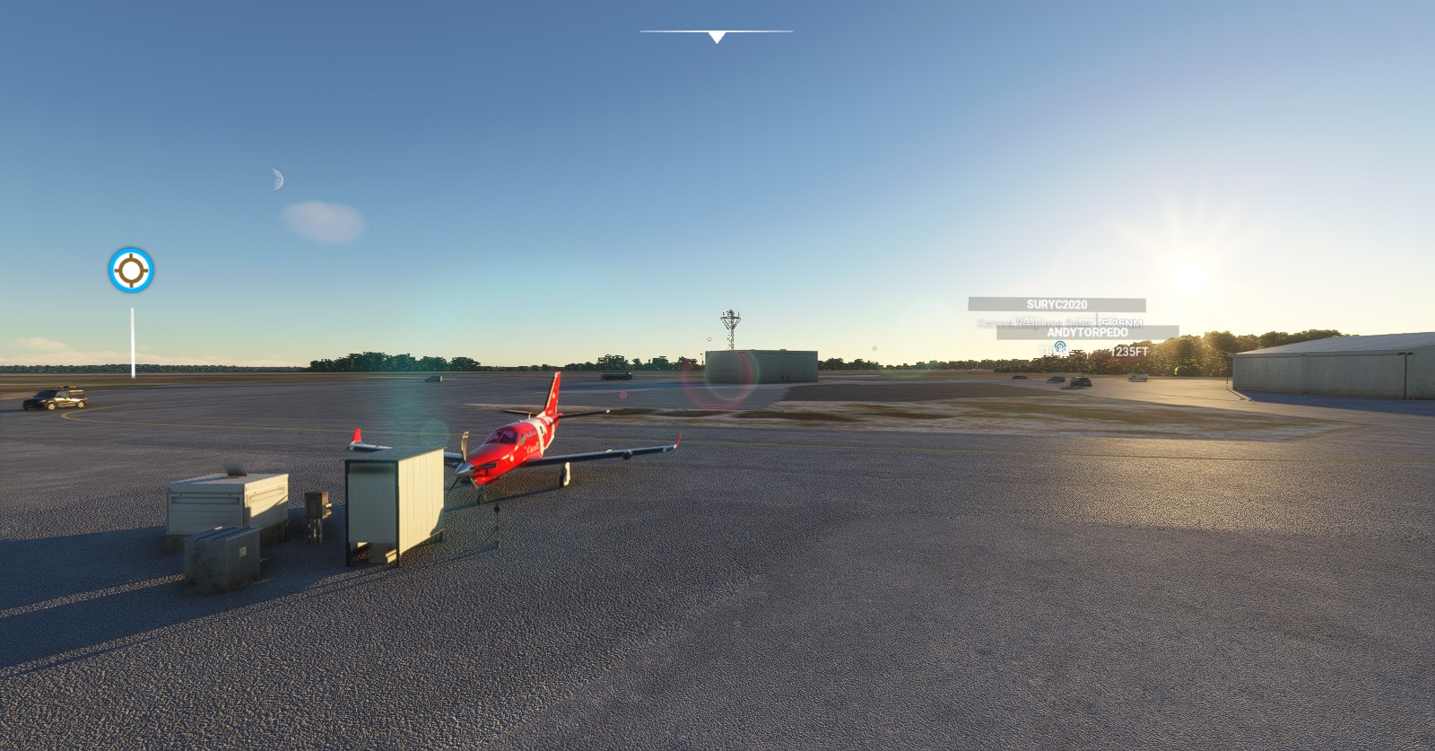
Friend decided to join me on this leg of the flight going from Thunder Bay to Kelowna, and even up to Winnipeg. We flew in the correct direction, though still without any flight plan added to it. He had a flight plan, I flew in the general direction.
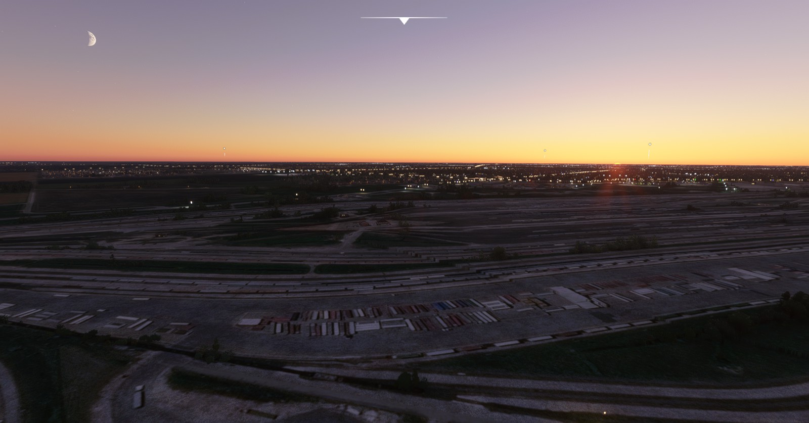
Kenora (CYQK) > Winnipeg Int’ (CYWG):
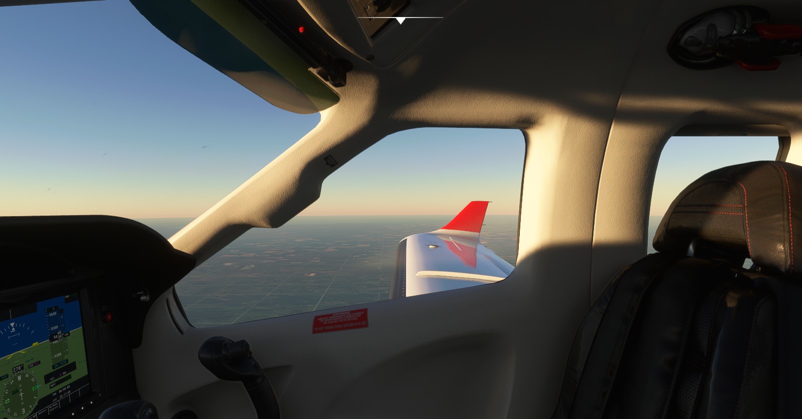
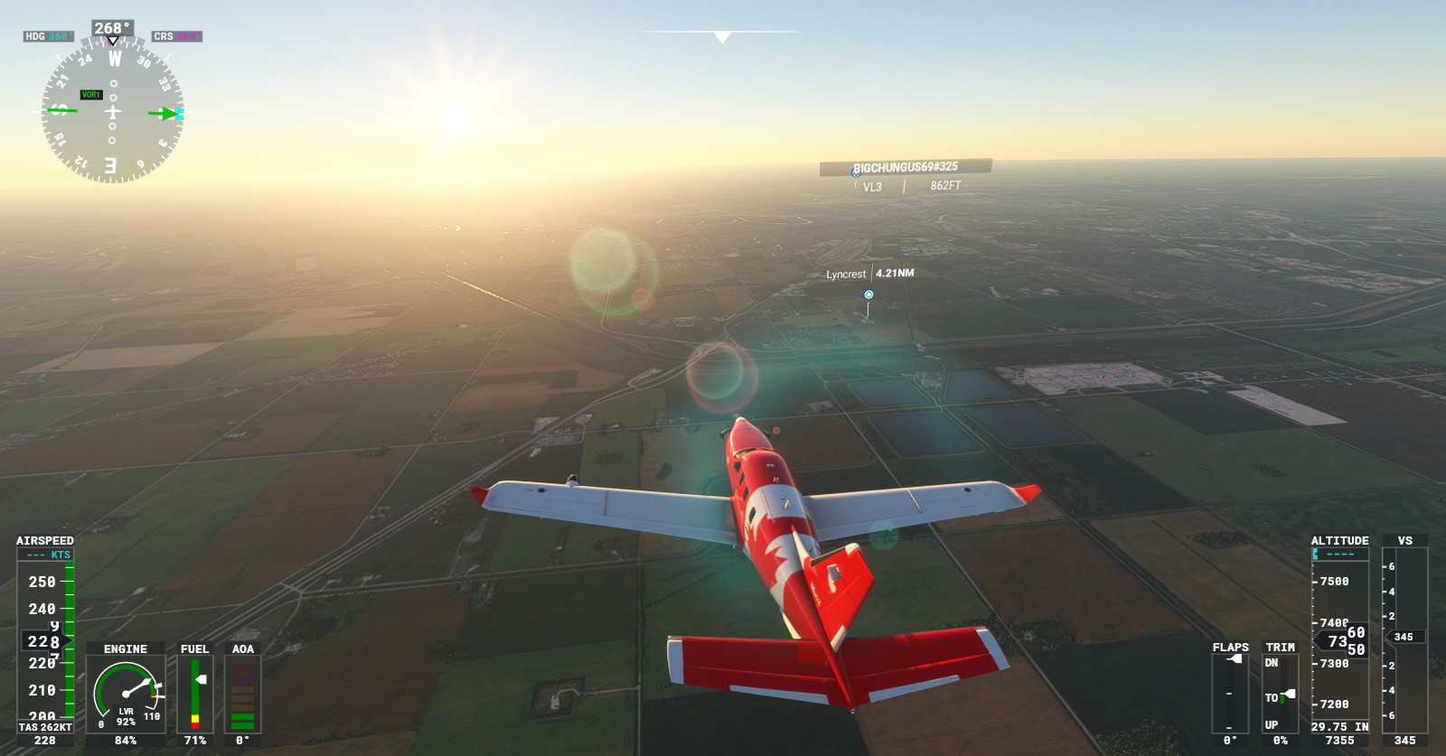
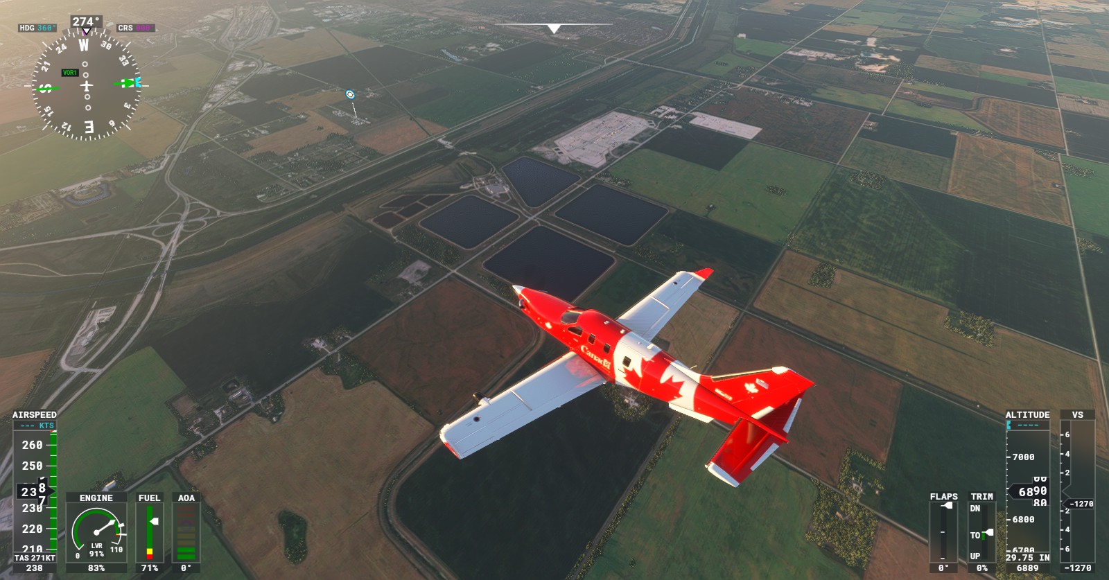
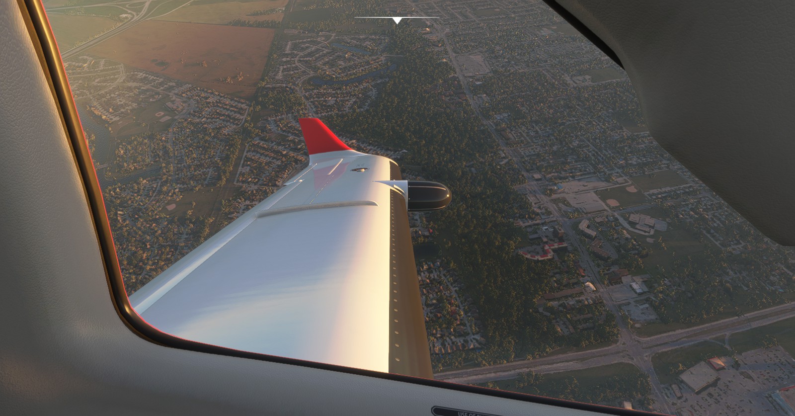
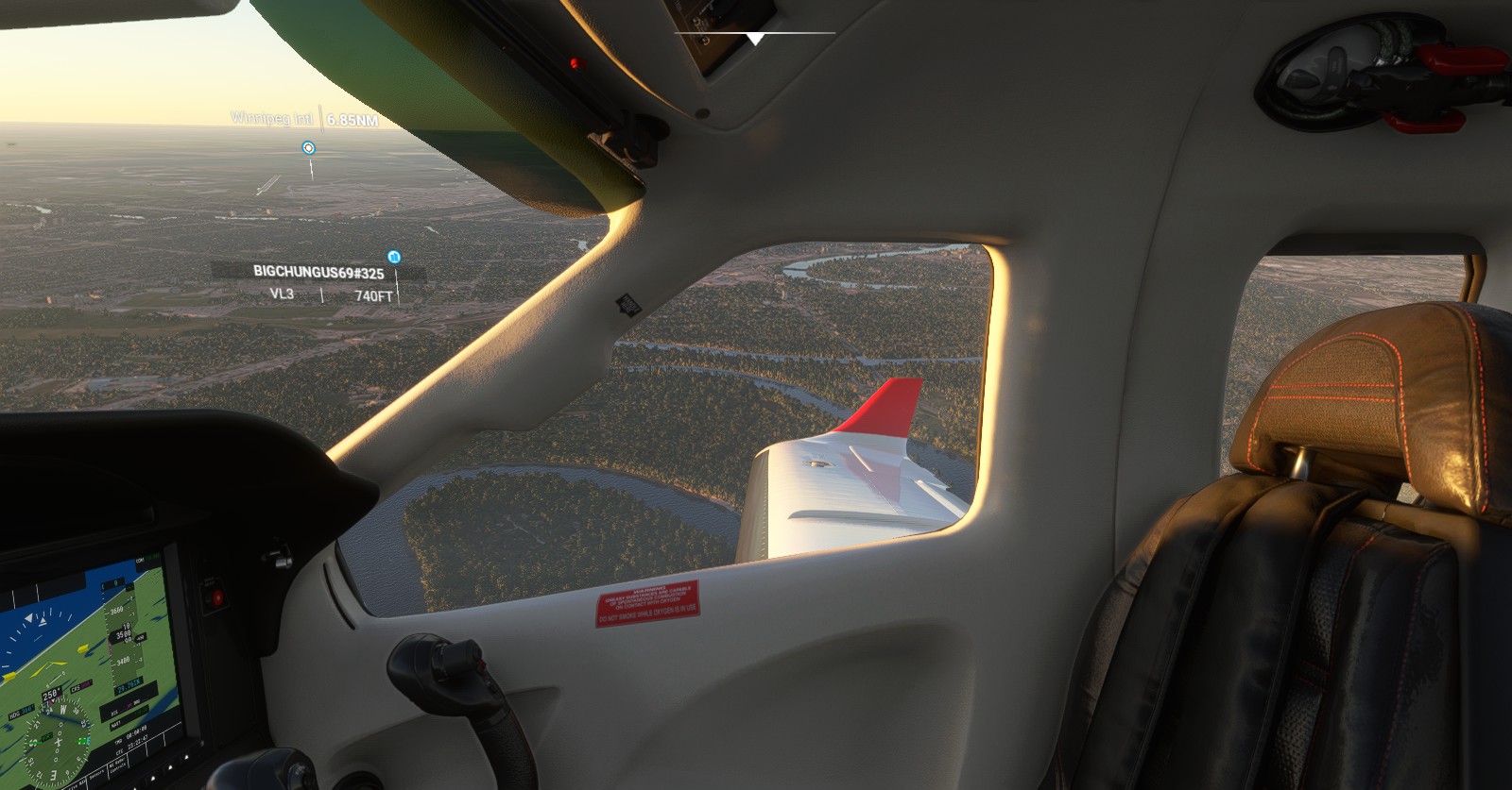
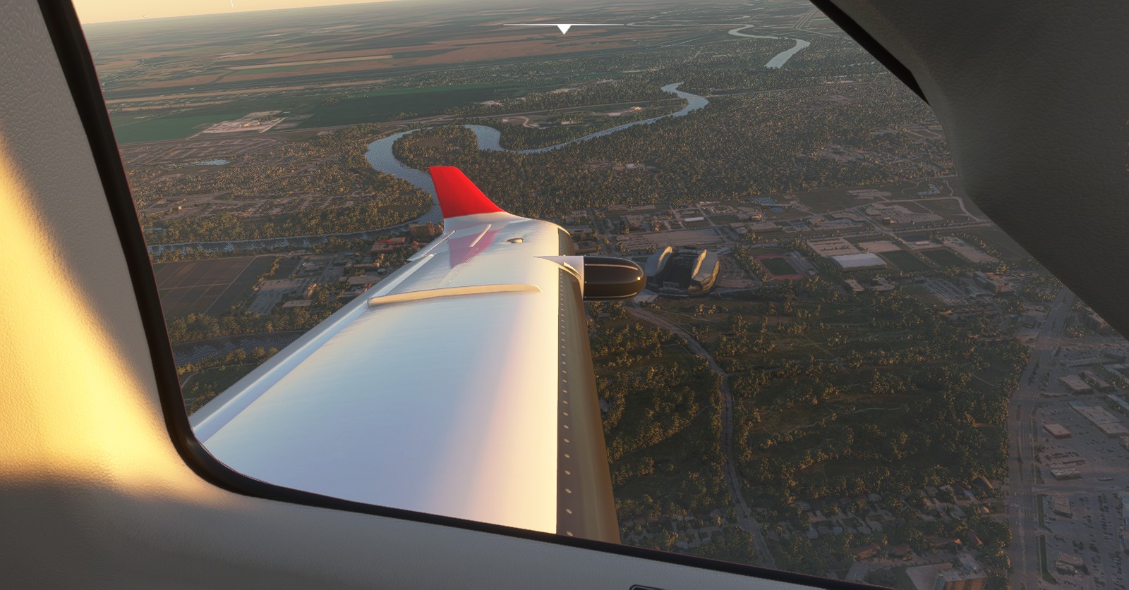
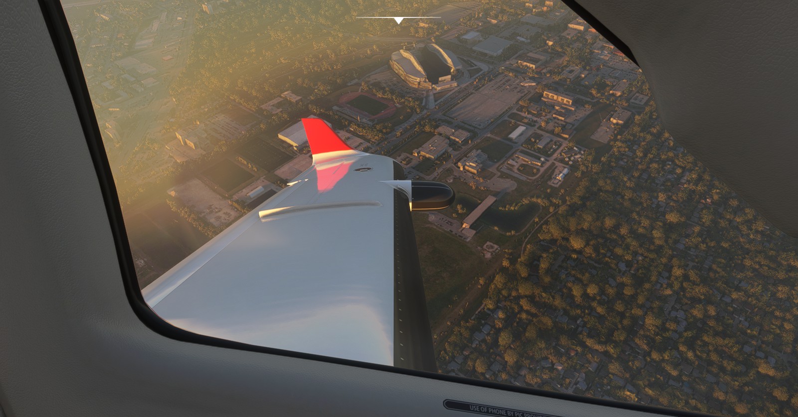
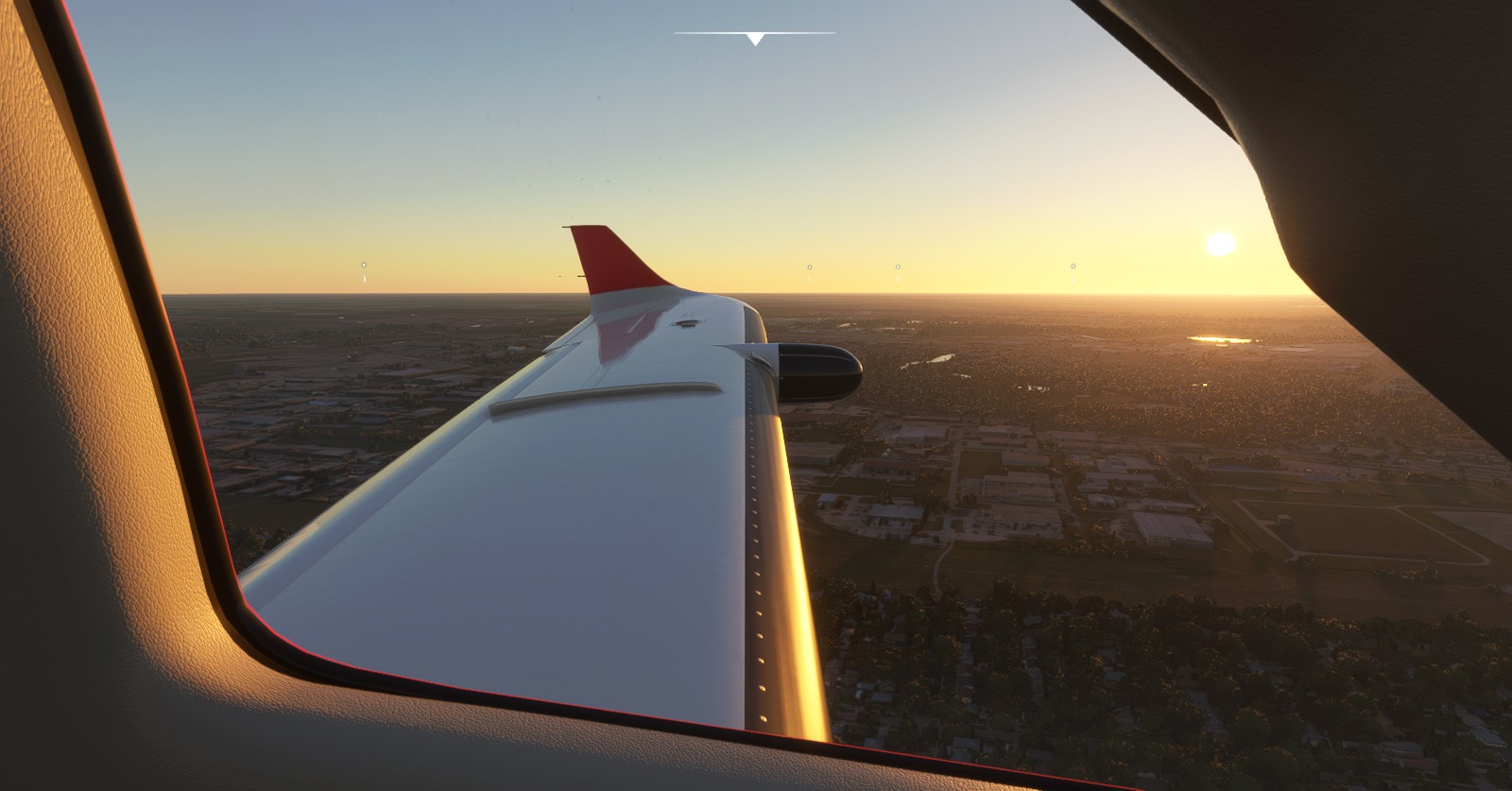
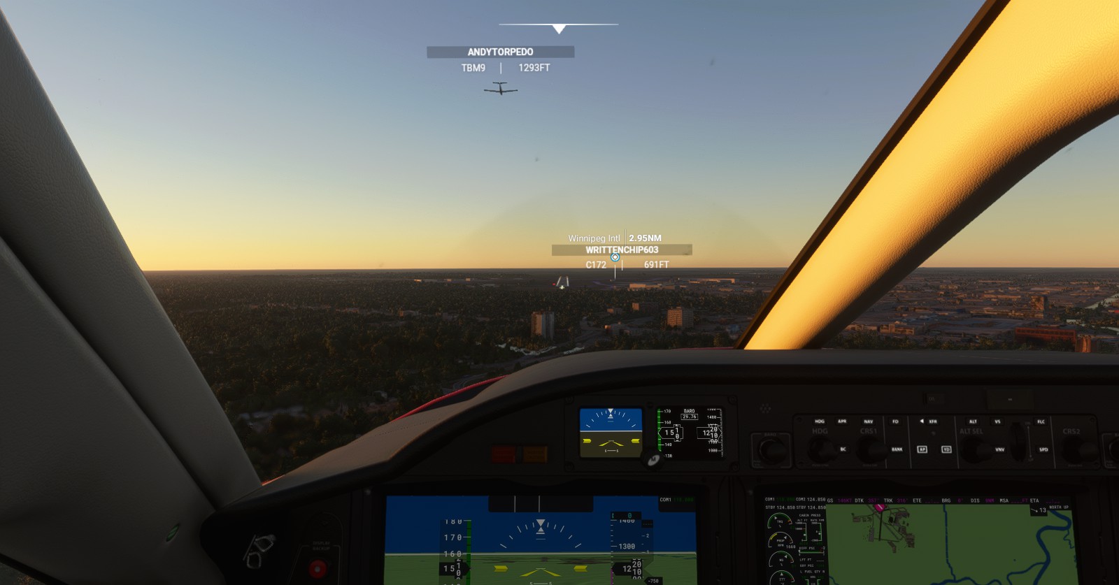
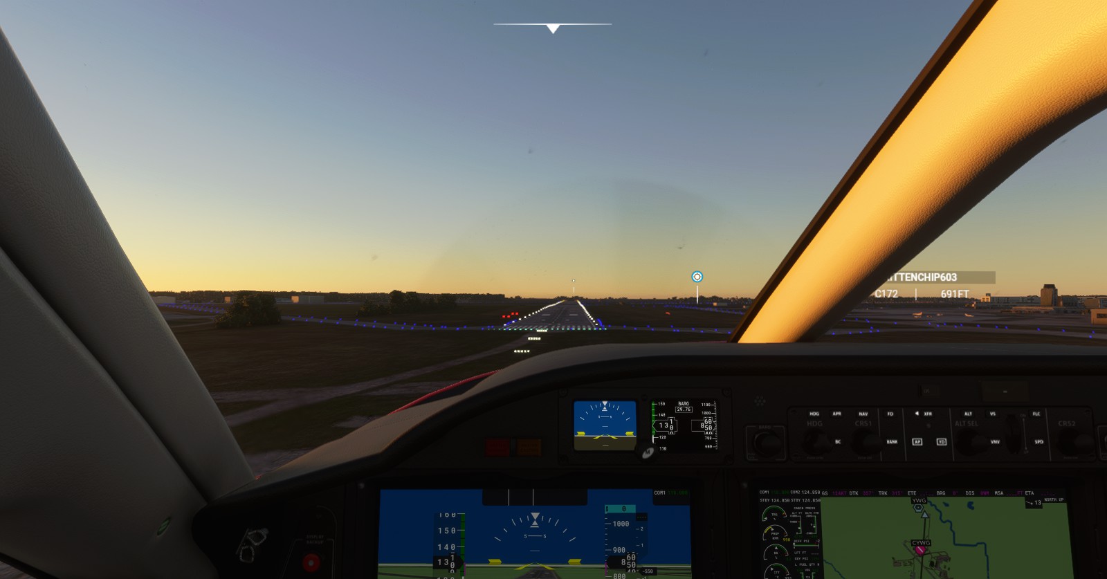
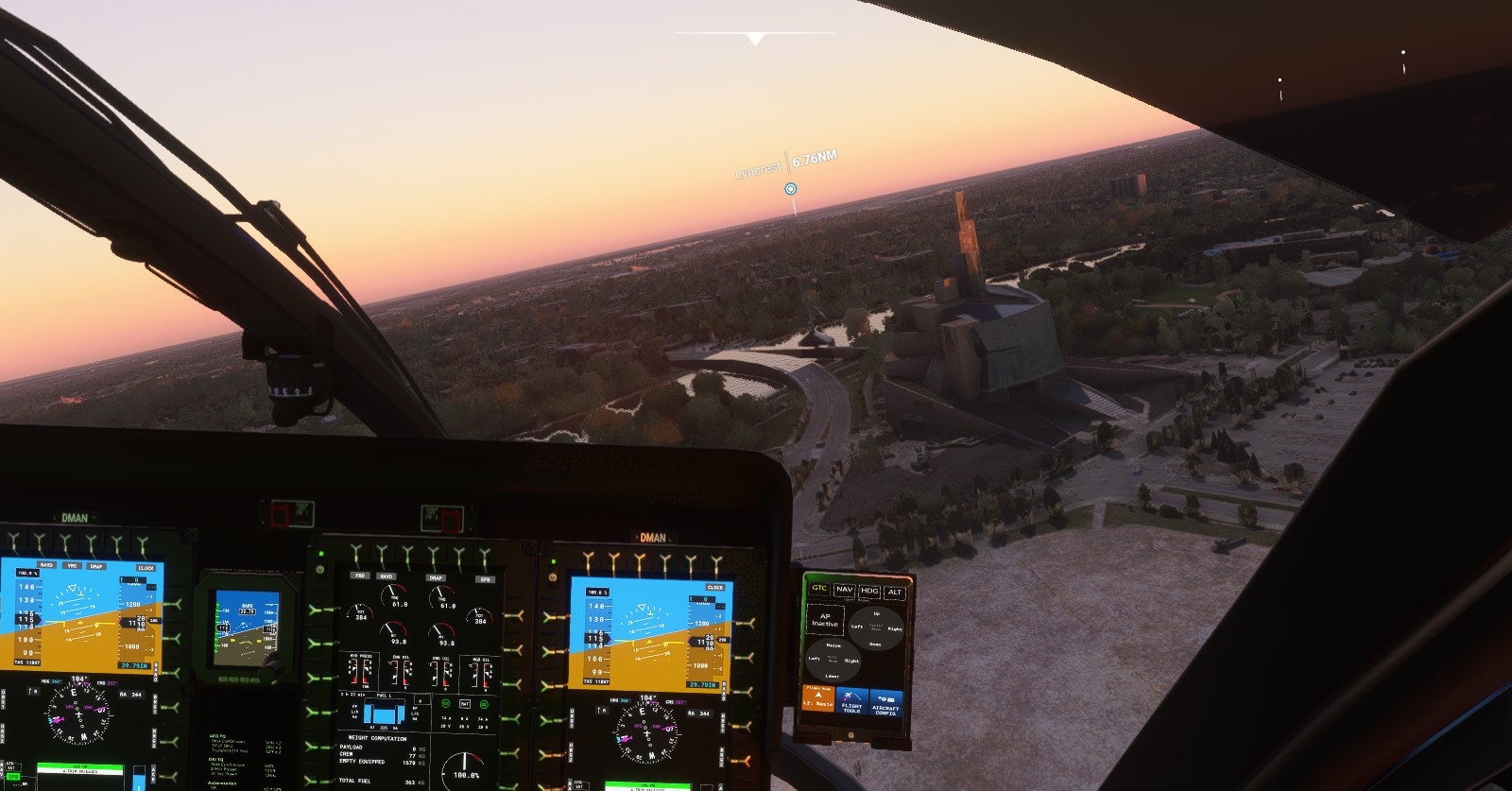
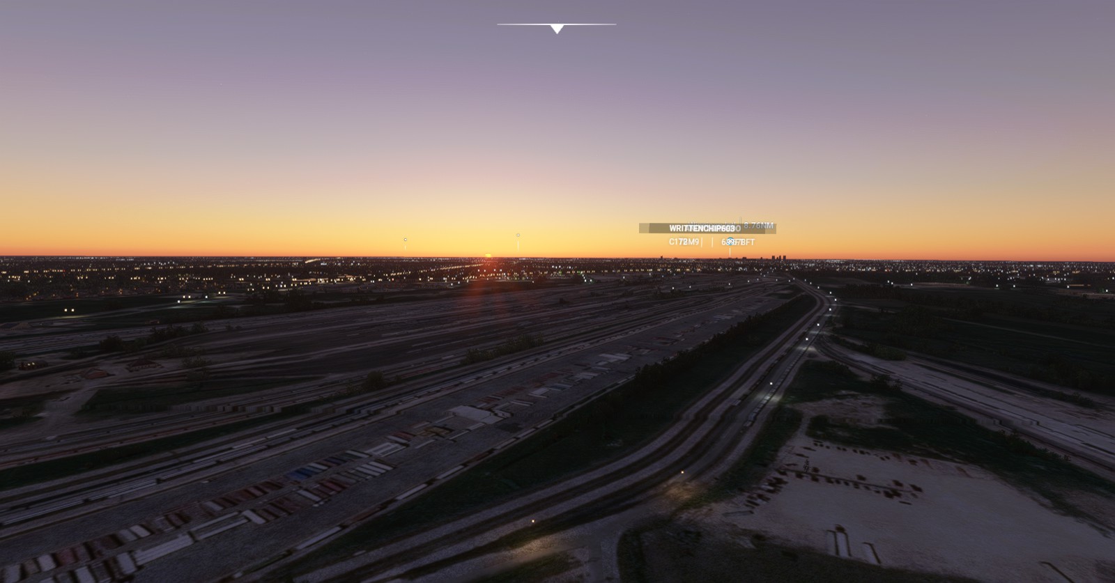
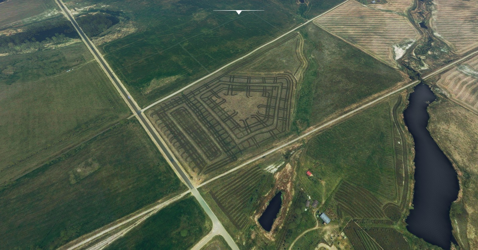
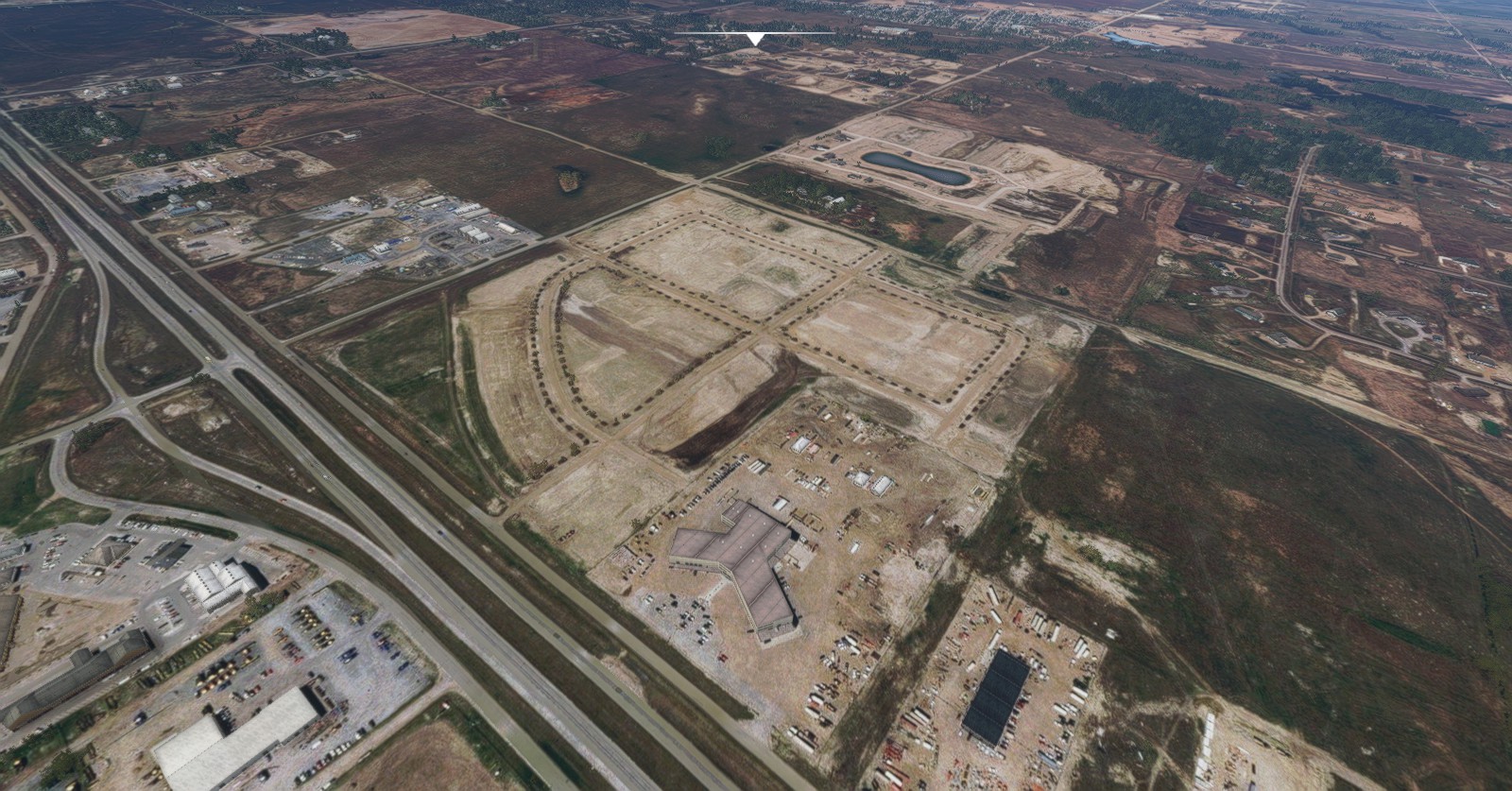
Winnipeg Int’ (CYWG) > Regina Int’ (CYQR):
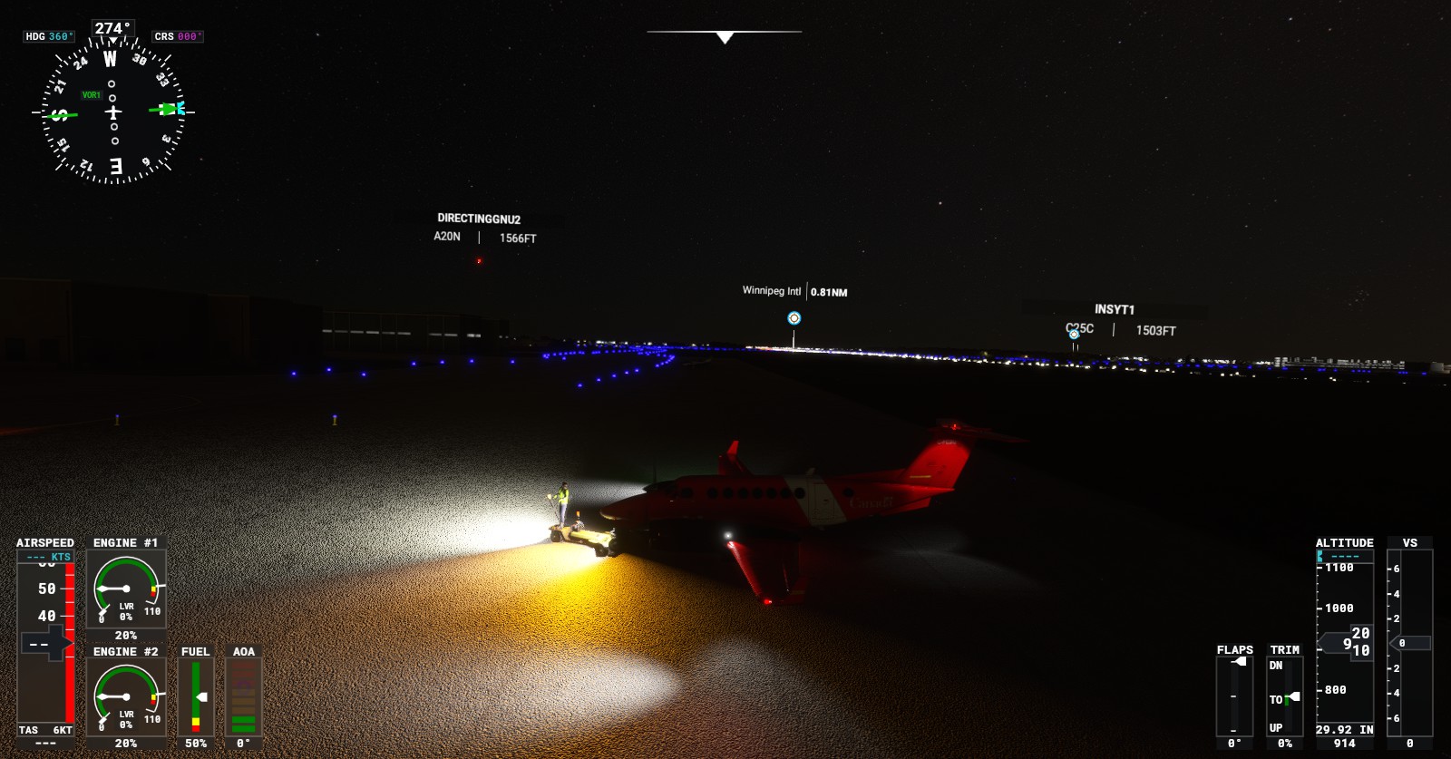
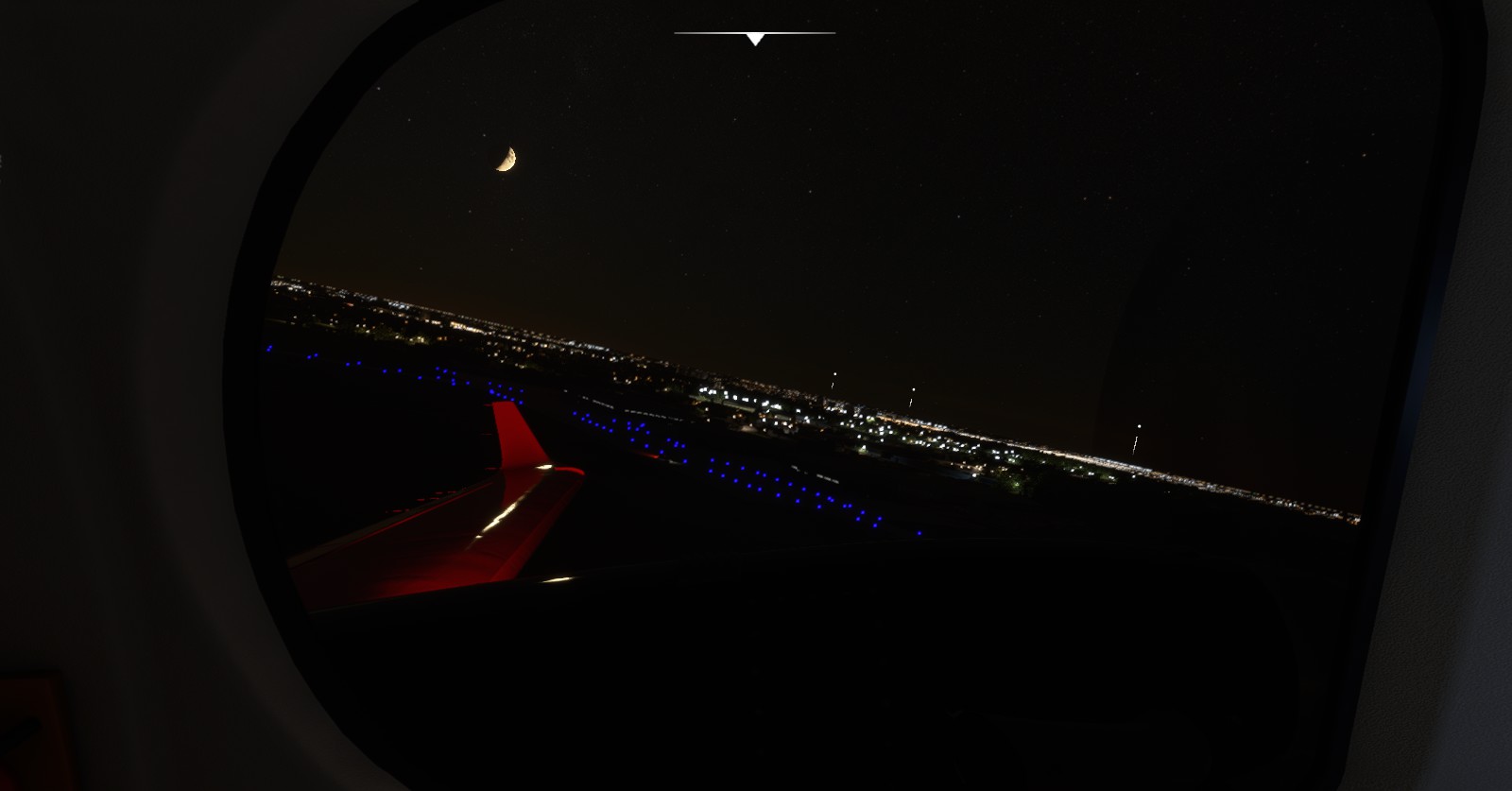
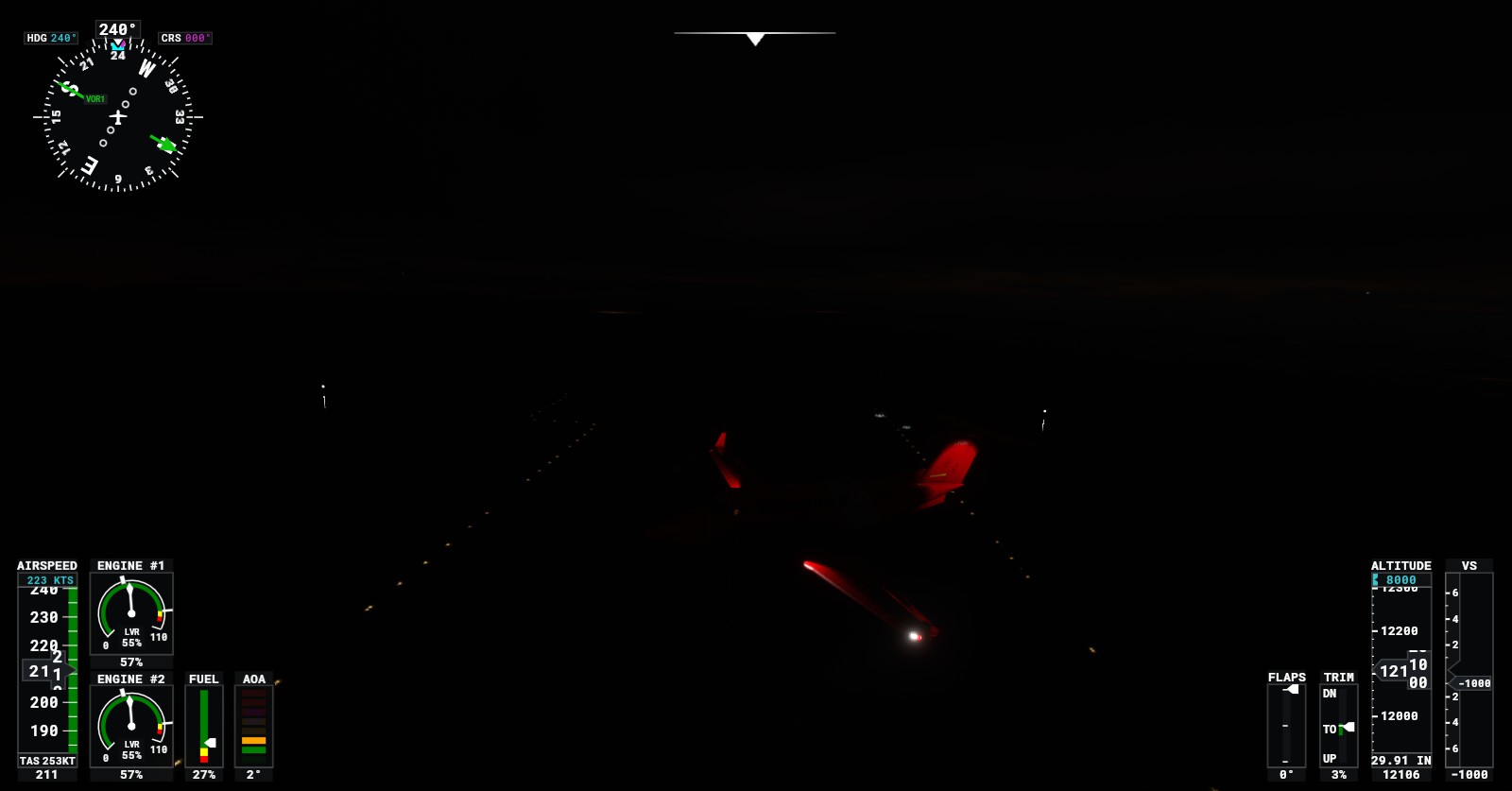
Friend left for the night while I continued on the push to get as far as possible in my free time. I also switched to a King Air for a quicker and easier autopilot experience for night flying. Covered a great deal of distance.
Regina Int’ (CYQR) > Saskatoon (CYXE):
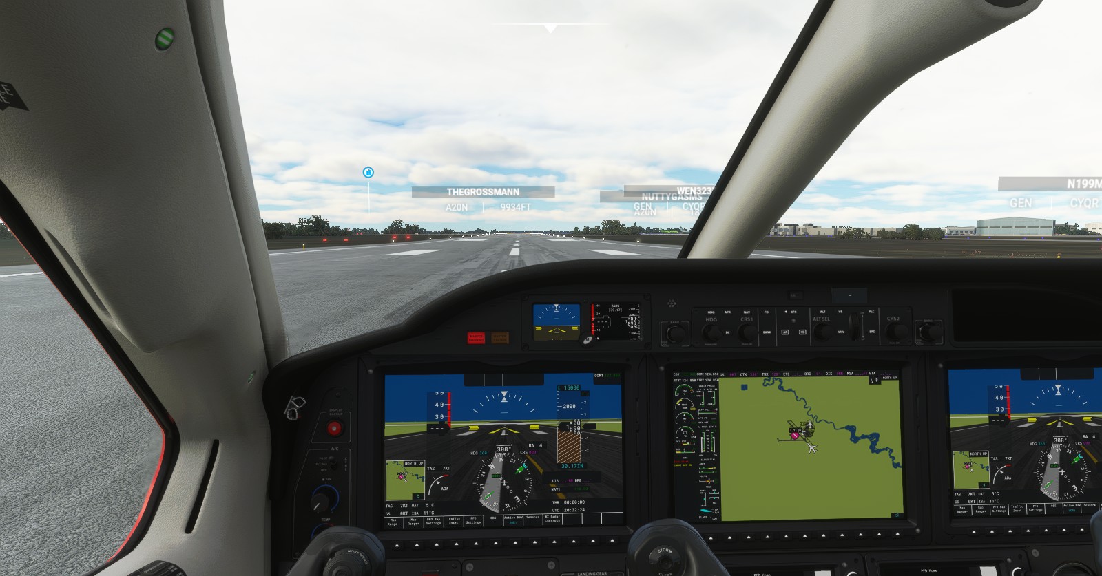
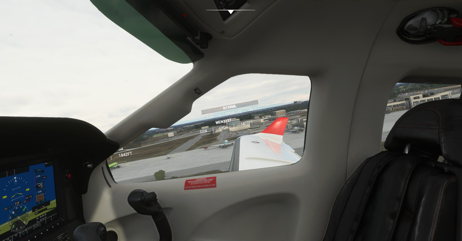
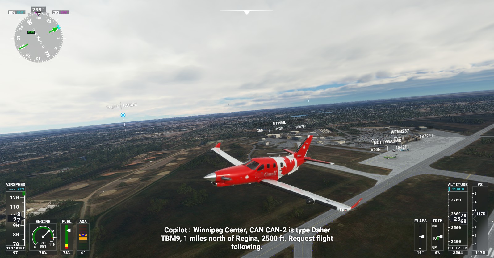
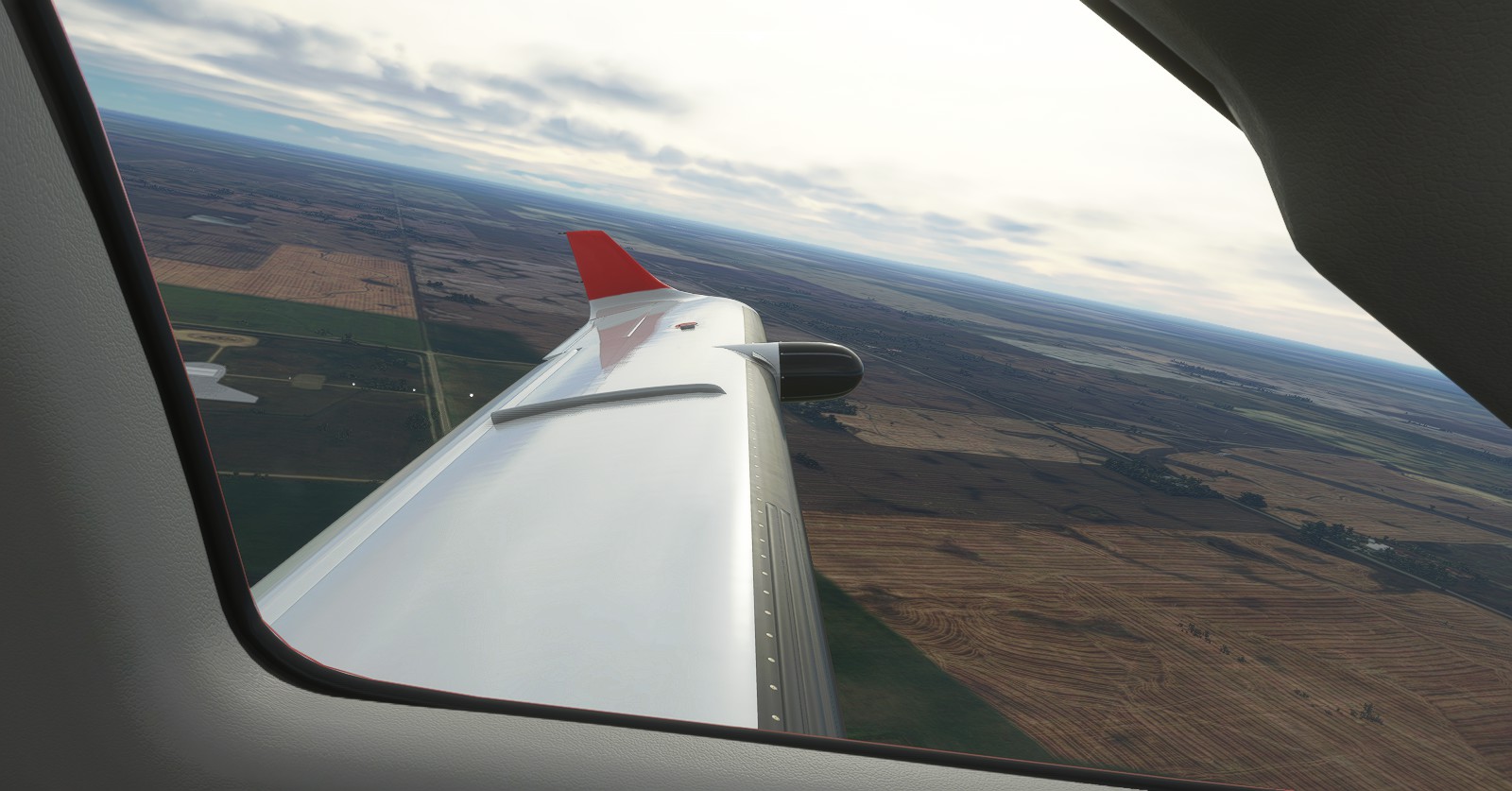
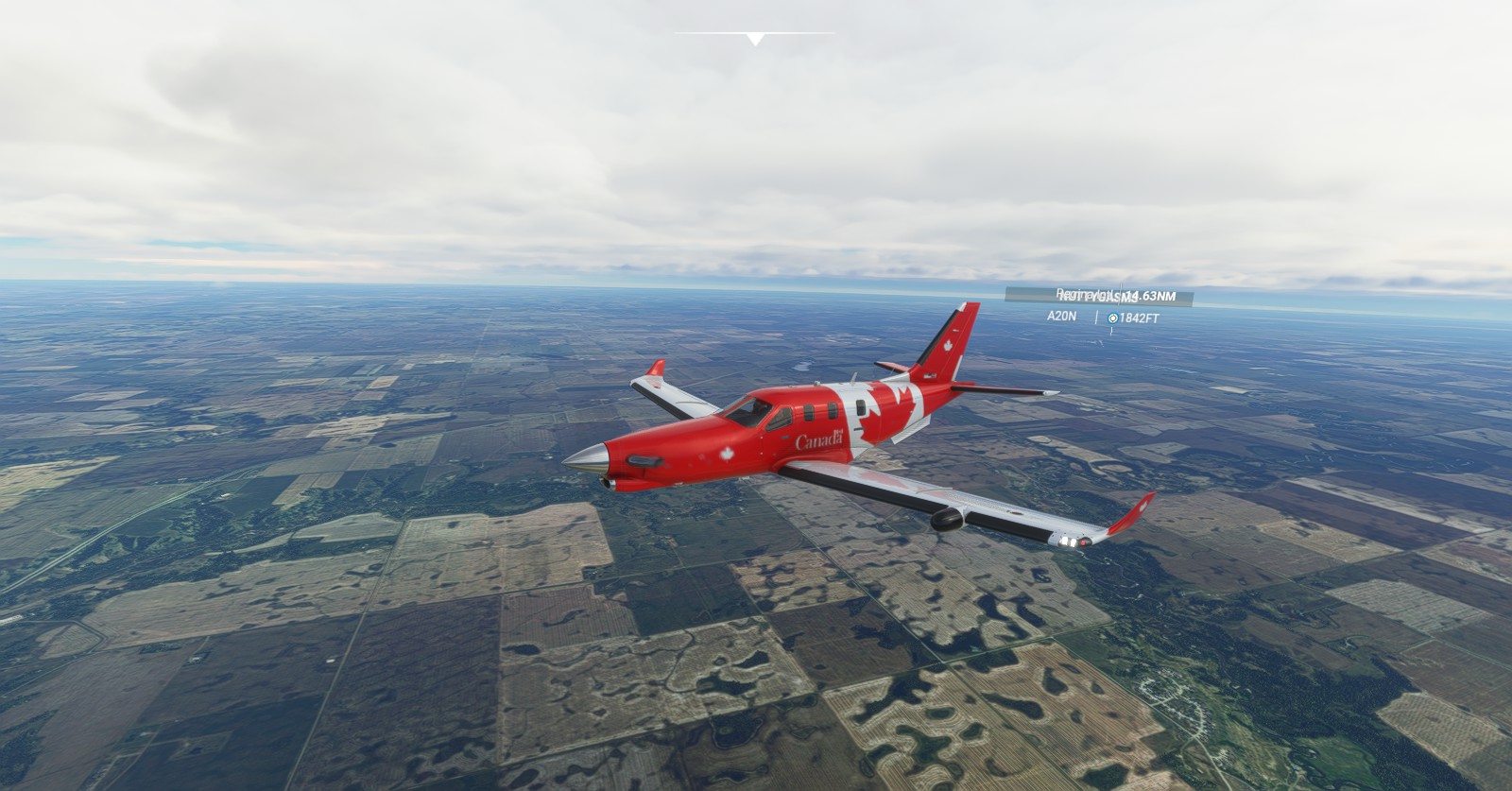
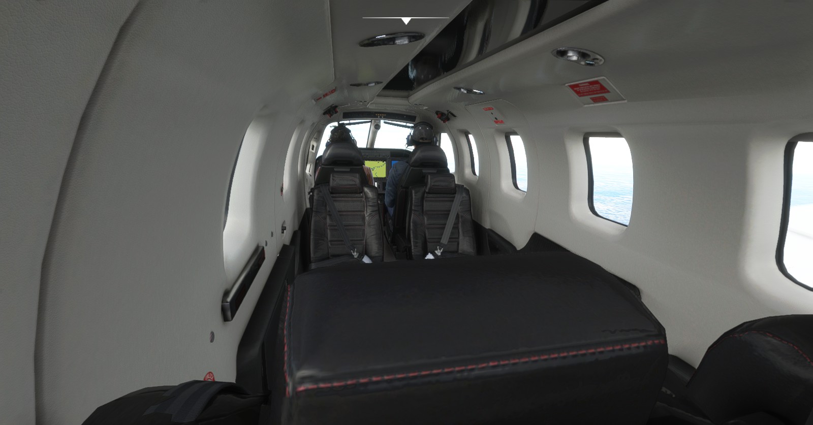
Back to the TBM9, I aimed for Saskatoon for the fun of it. This one was more of a “because I can” type of flight, and also because I know of a troll within an anime community unaware of their personality from this area. It’s water under the bridge, though something I thought I’d visit just to familiarize myself with the place.
Saskatoon (CYXE) > Edmonton Int’ (CYEG):
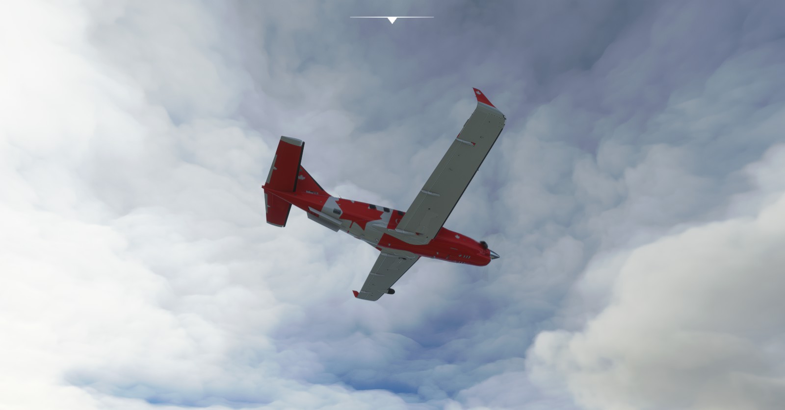
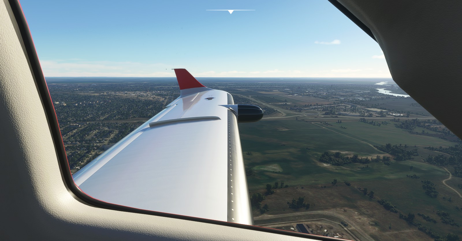
Swapping to the King Air I decided to speed up the progress by a tad bit. Further, farther, faster.
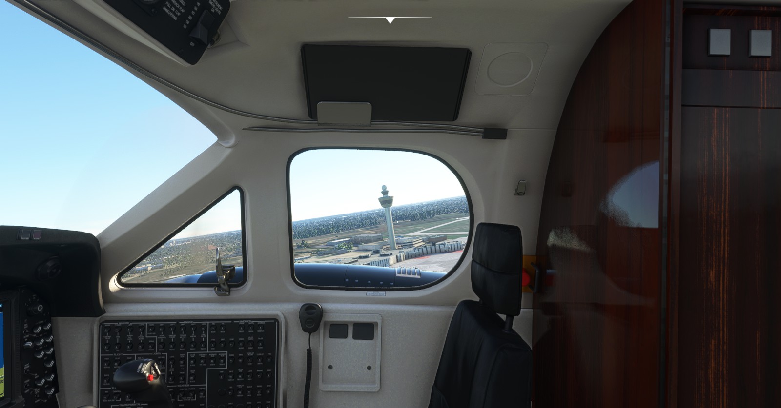
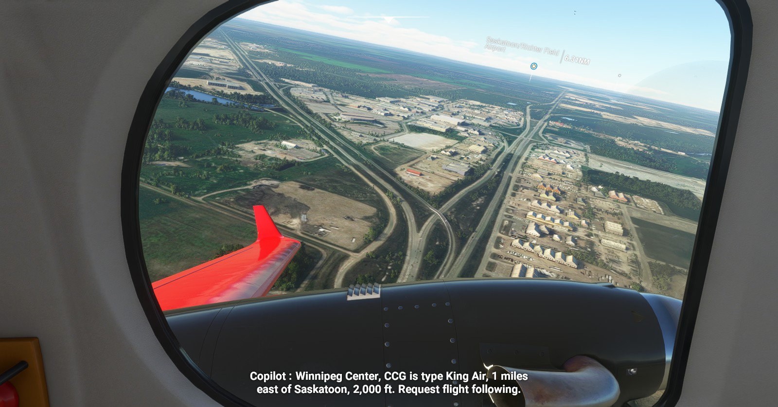
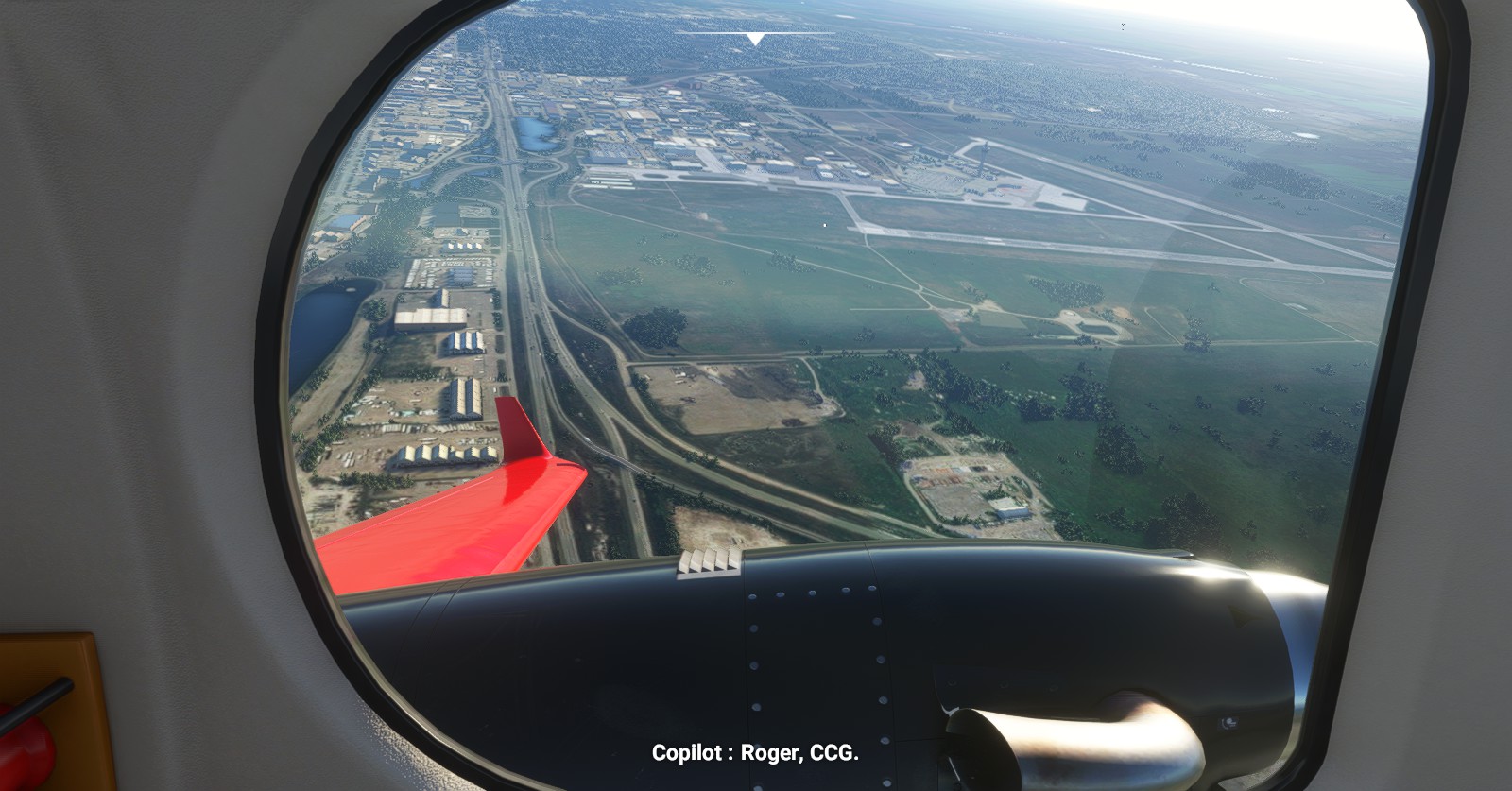
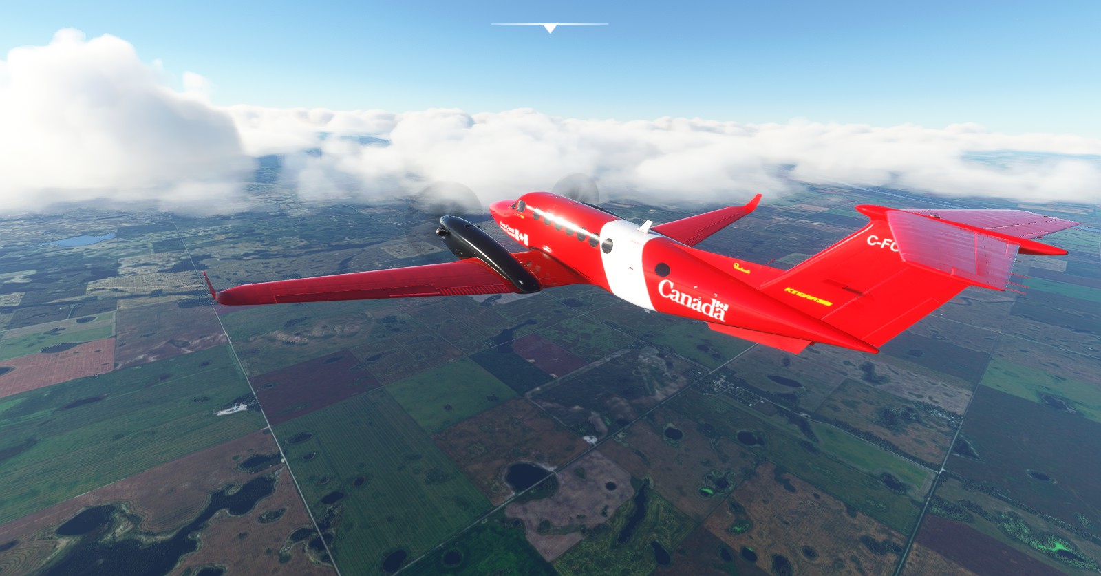
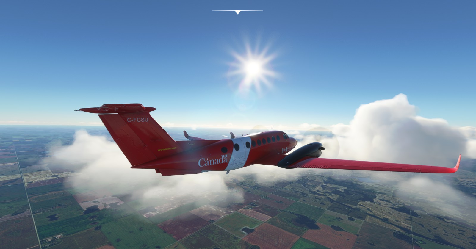
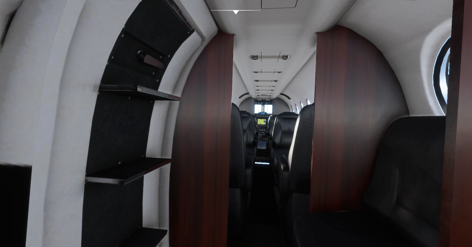
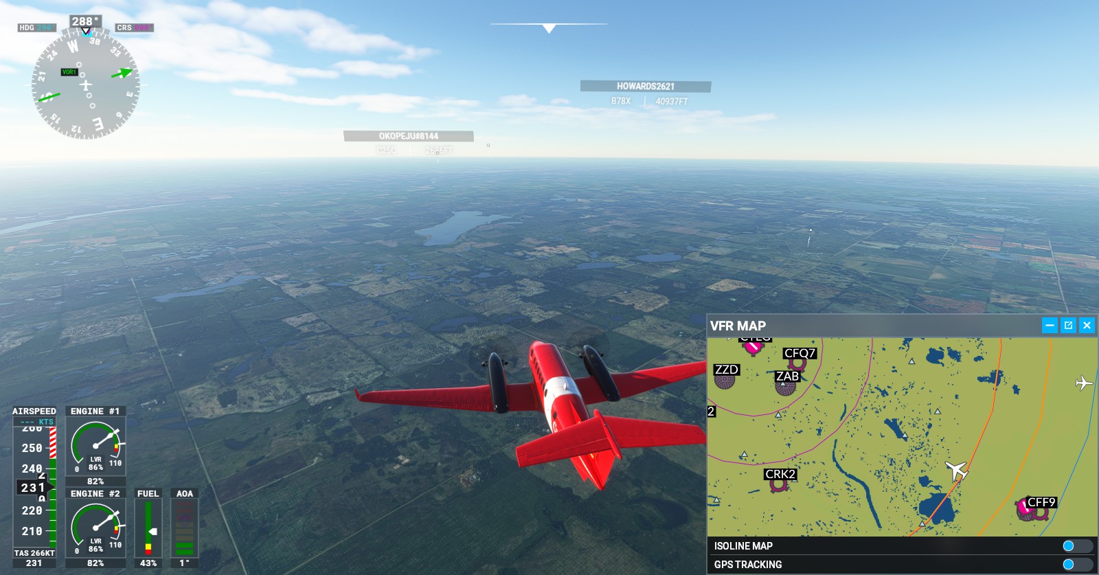
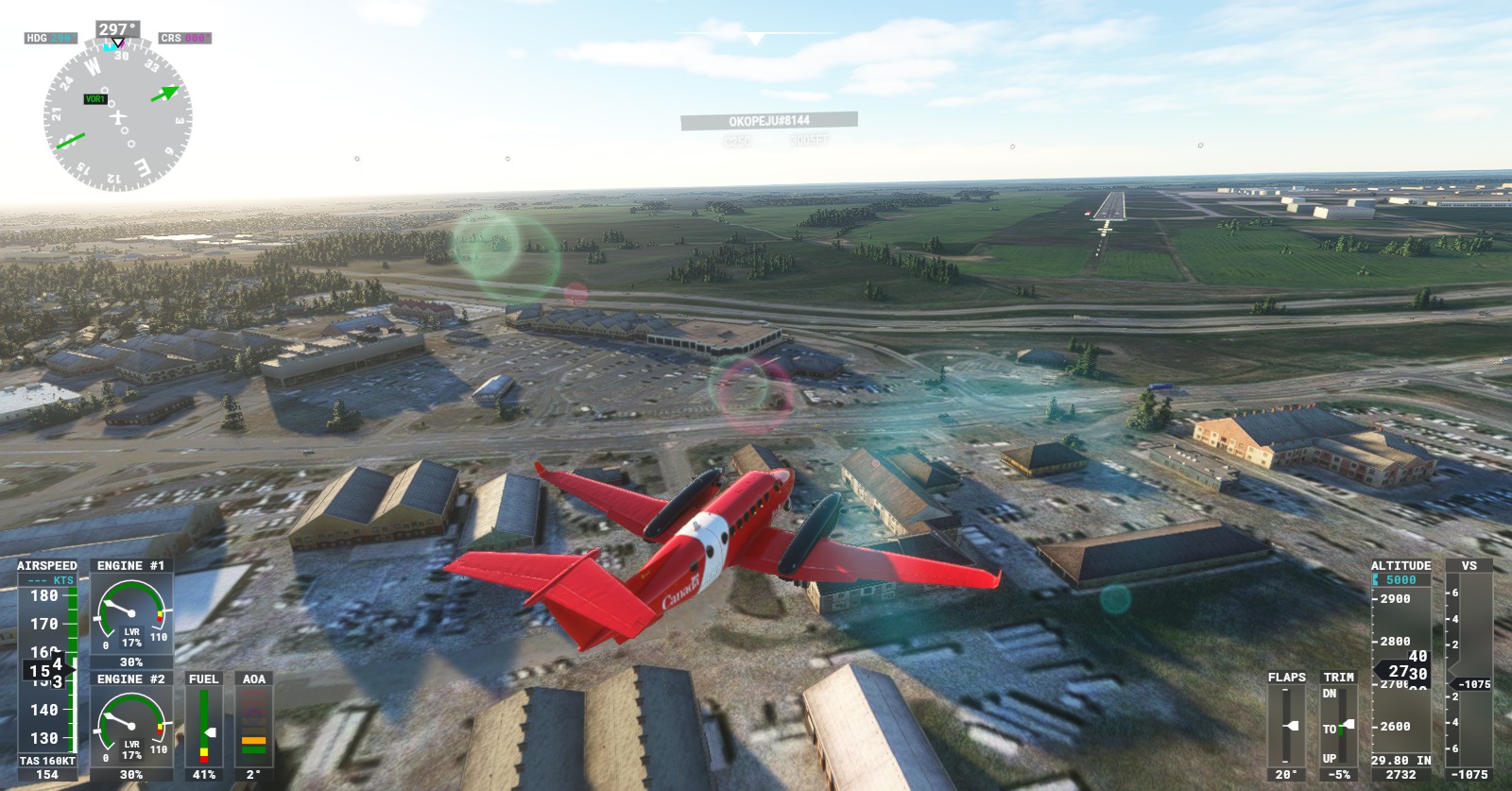
That’s the end of Part 1. There are more ports incoming as I continue my journey west. Thanks for viewing, hope you enjoyed the flight visuals as much as I had flying it.
