
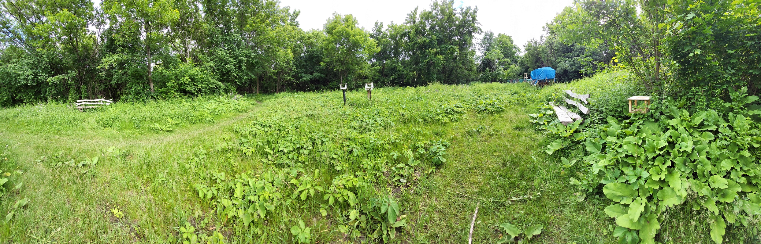
After many days eagerly plotting, waiting, and working, I finally had the chance to fly my drone again. Flew my drone around the Mud Lake area following the bike path north-eastward towards Westboro and the Rapids. Was considering going fully downtown, preferred to leave it for another time. Current focus was doing what was loosely on my checklist by checking out Mud Lake area, grabbing more video clips, and just learning my drone some more. Was expecting to get yelled at by folks, instead gained curious looks. Curiousity and just observing.
“The Video”
Can’t have a drone flight without some photos and videos. Here is the video, as to not get lost in the flood of images below.
Above video featuring the drone flight. Still learning how to fly (If video breaks use as ‘k3Iv6IYUlL8‘ the video ID on Youtube).
Now THIS is where the fun begins! Had to touch up the images in Photoscape, though left a few as is (darkened) just for some casual viewing. If you see any “strange” landscape pictures then those are my attempt at “art”, the windows 10 type welcome screen “art”.
Pardon the “ramblings”, just nostalgic at the thought how ‘Danny Choo’ (an anime hobbiest) who influenced me noted how “open” and “vast” Canada is, especially Ottawa. How green, un-urban, and how natural it all seems. I still recall that. It’s however a shame he unfollowed me on Twitter, went rogue with dolls, and just threw everybody under the bus. Things just aren’t meant to last on both his and my front. It’s life, and it’s time itself. Everything flows and moves forward, just like the river. Not trying to be poetic, just making note of things.
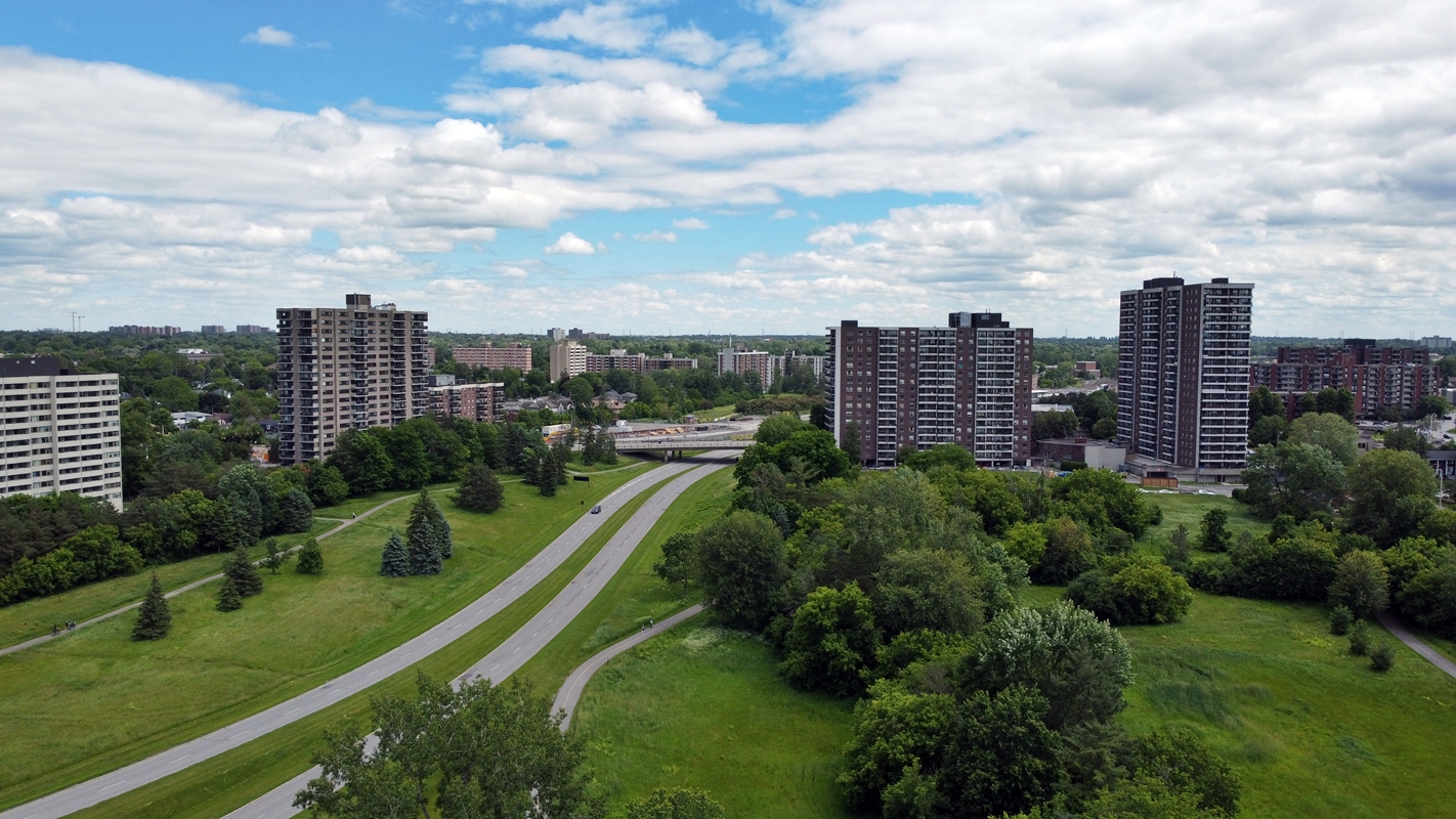
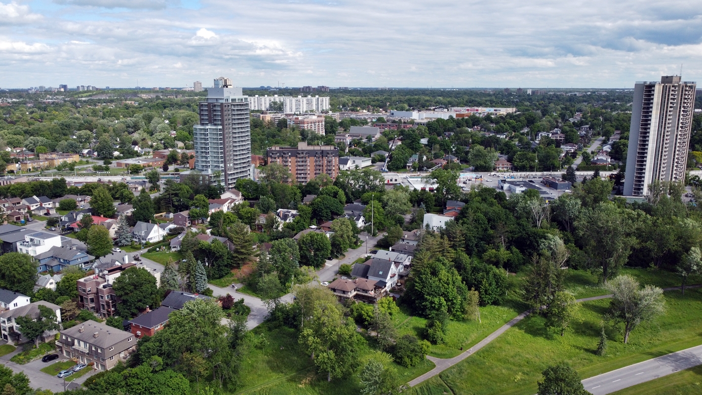
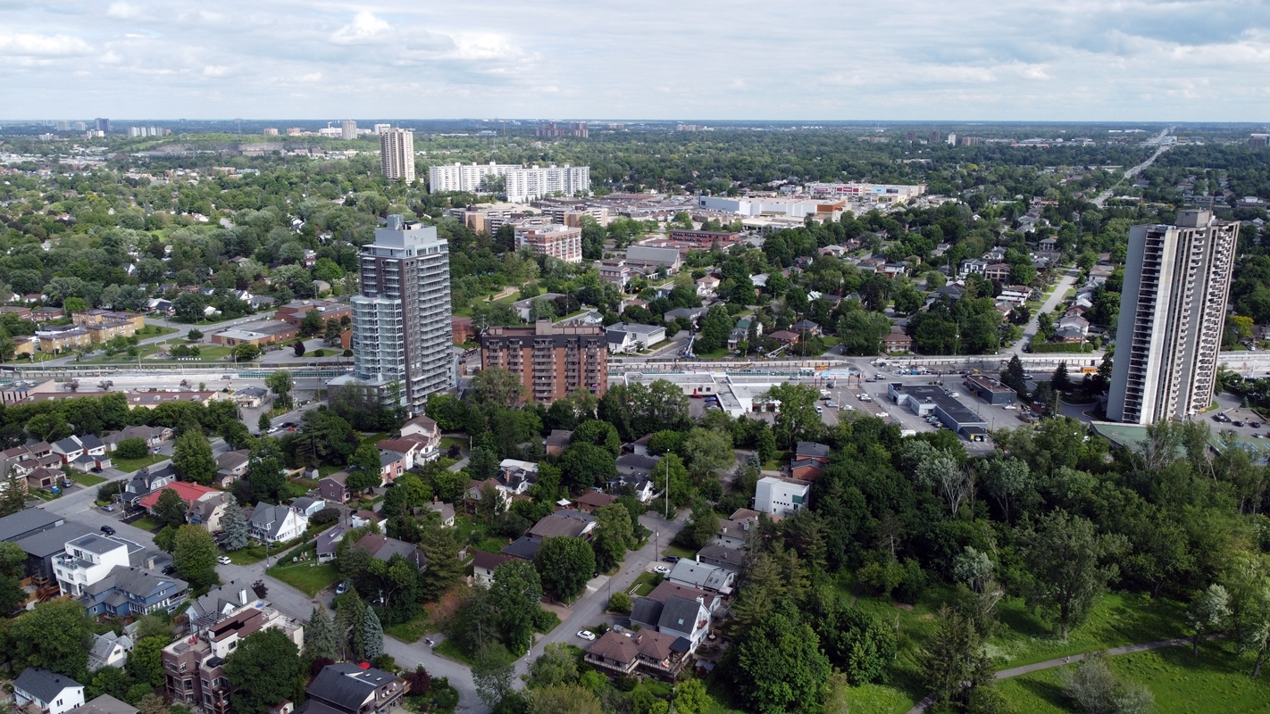
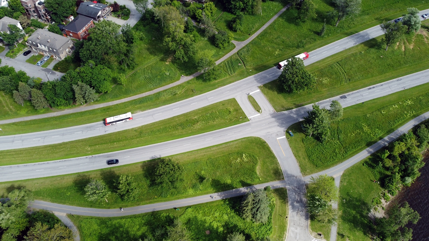
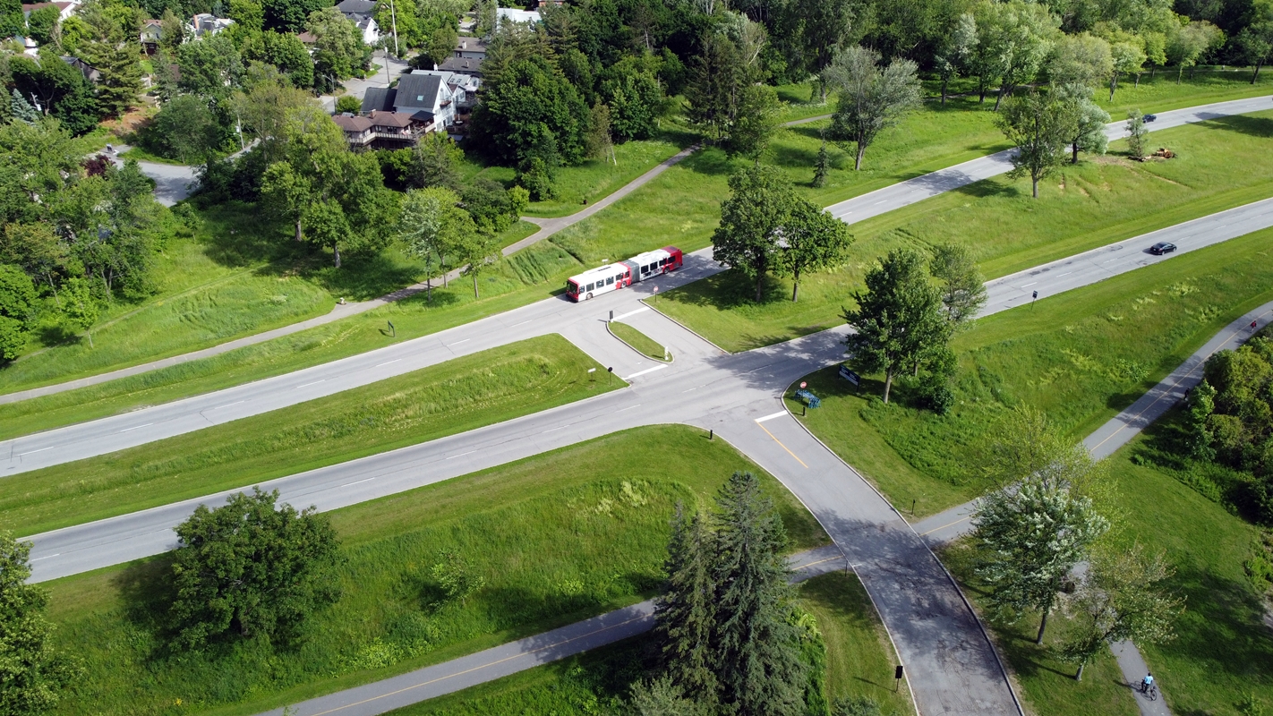
Westboro Area:
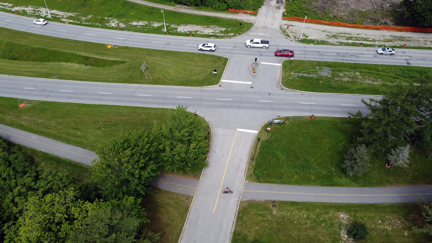
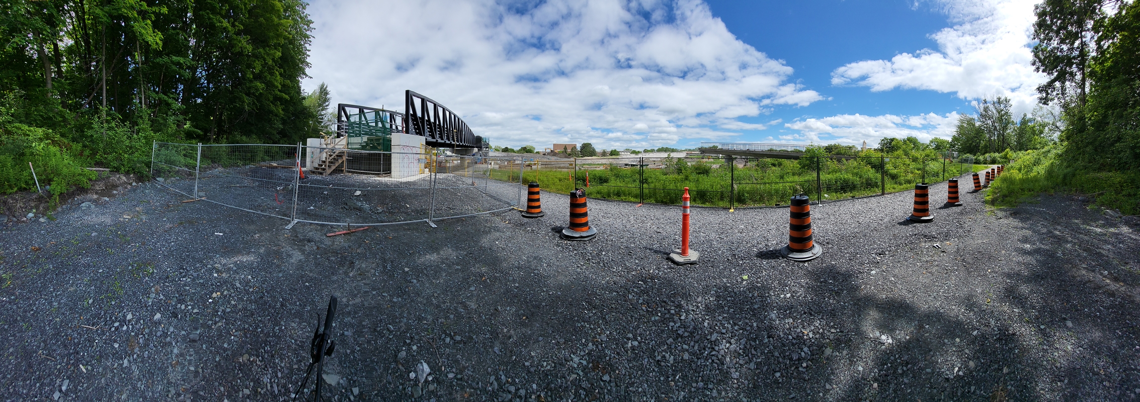
While heading towards Westboro I’ve noted a lot of construction work, some of which you can see in the below image on the right side. I’ve also nearly ran over a youngling Canada Goose. It cried out in terror….. I don’t blame it. I was struggling to pedal focused on the moment; Focused on my own thoughts occasionally managing to gain enough attention to check the scenery ahead of me spotting that poor Gooseling. My current bike is lent, it however isn’t ideal for how fast I desire to pedal. It’s a struggle.
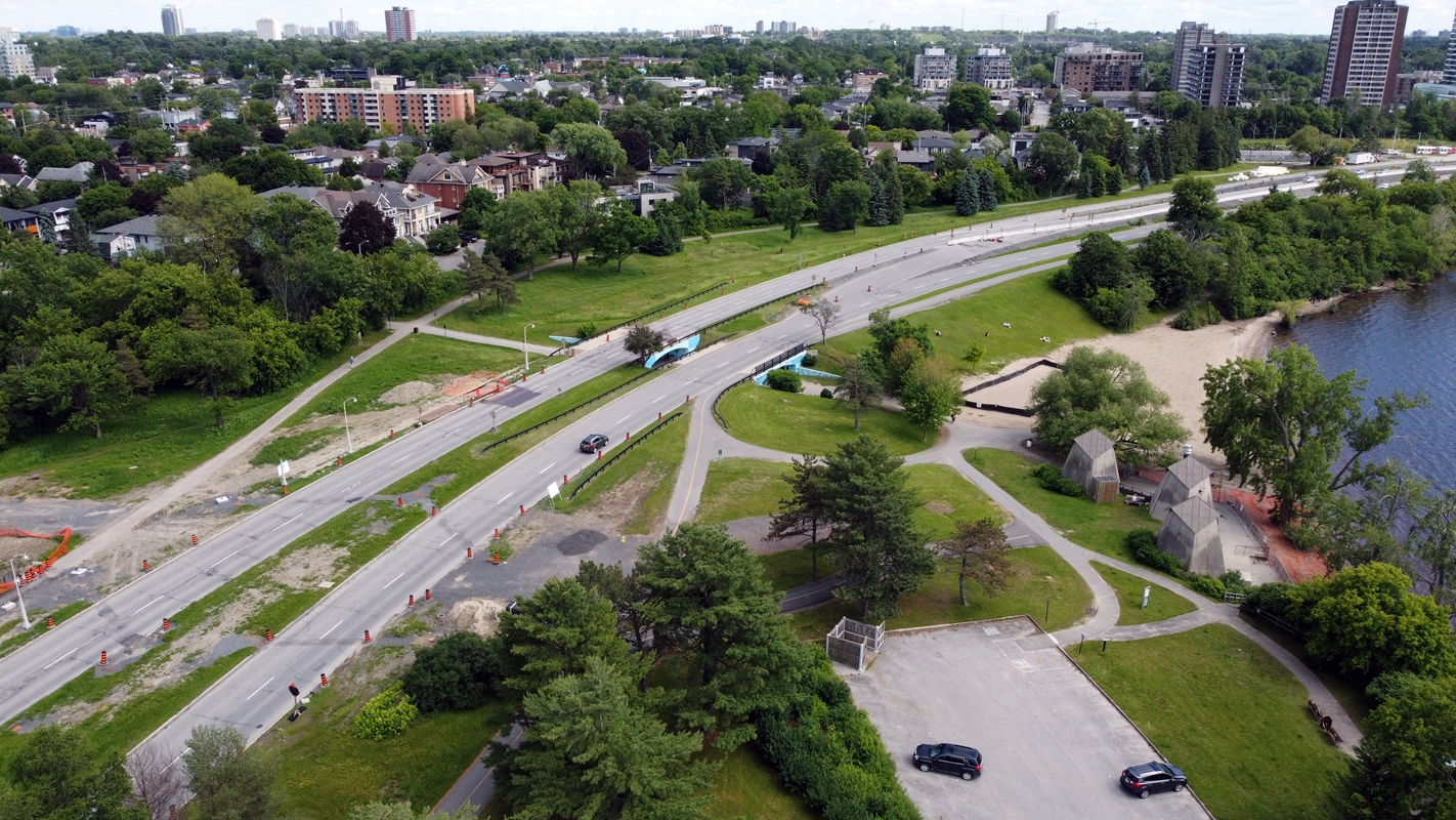
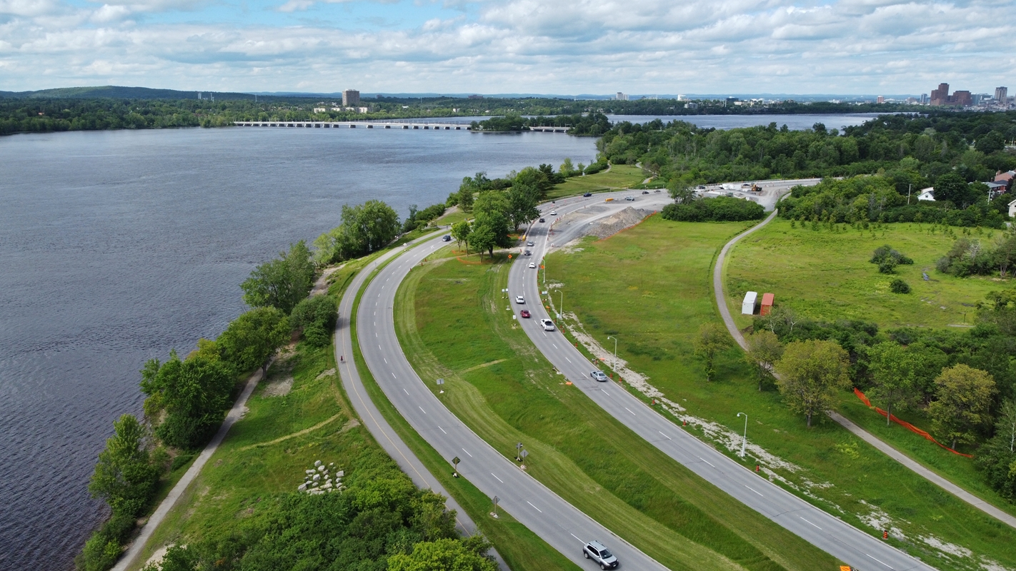
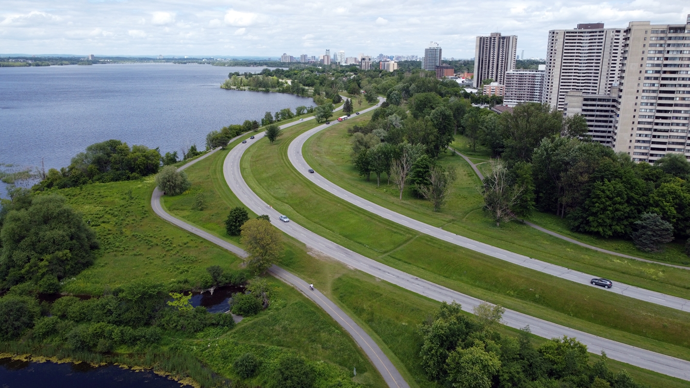
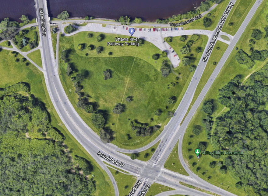
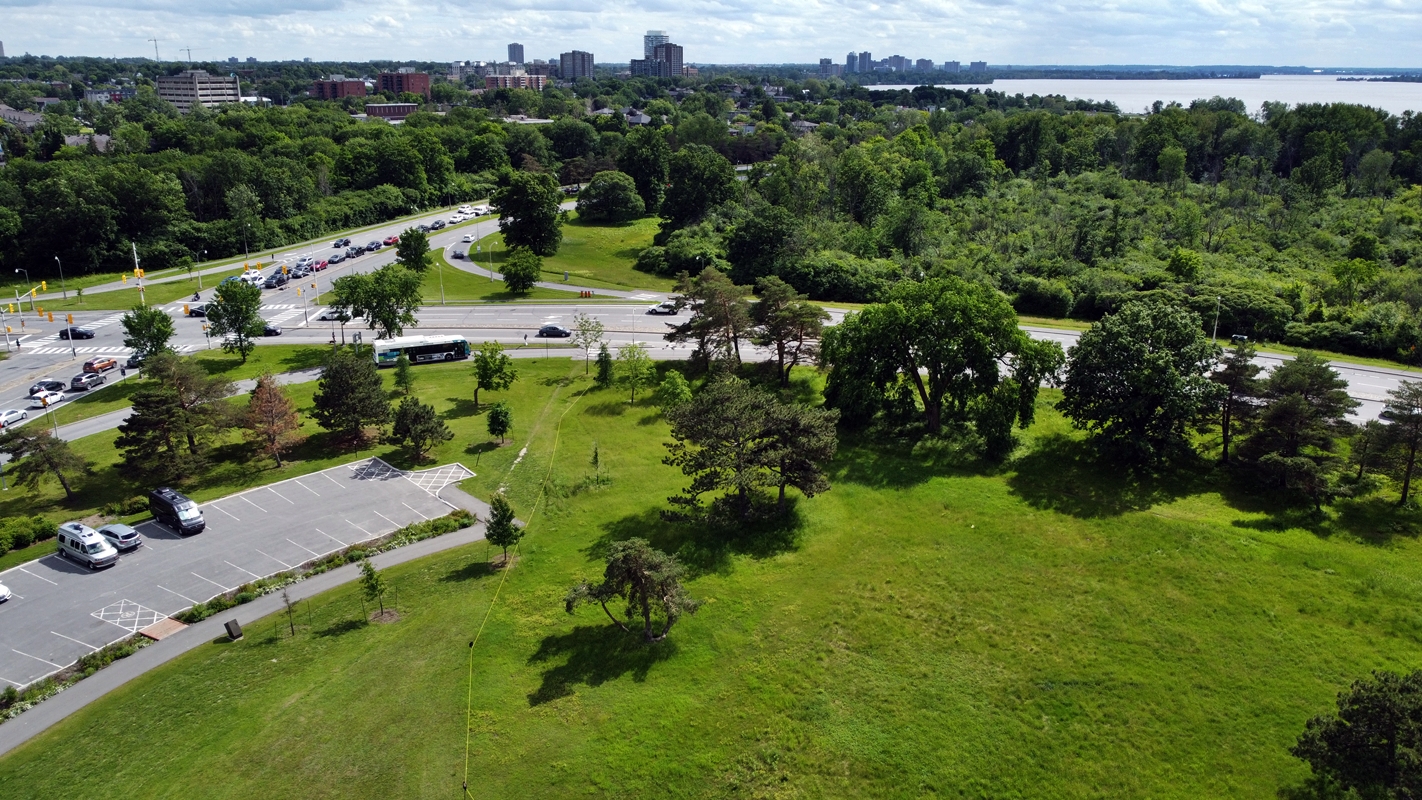
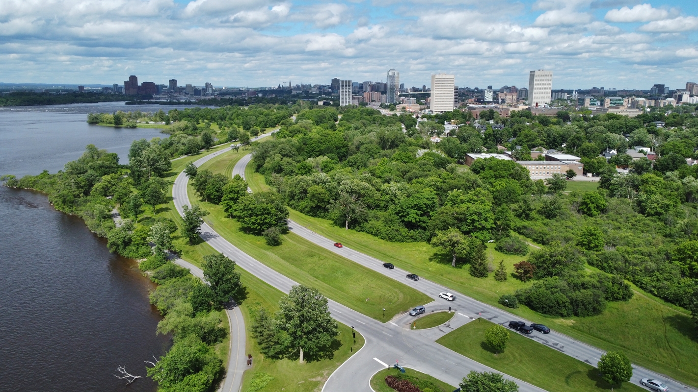
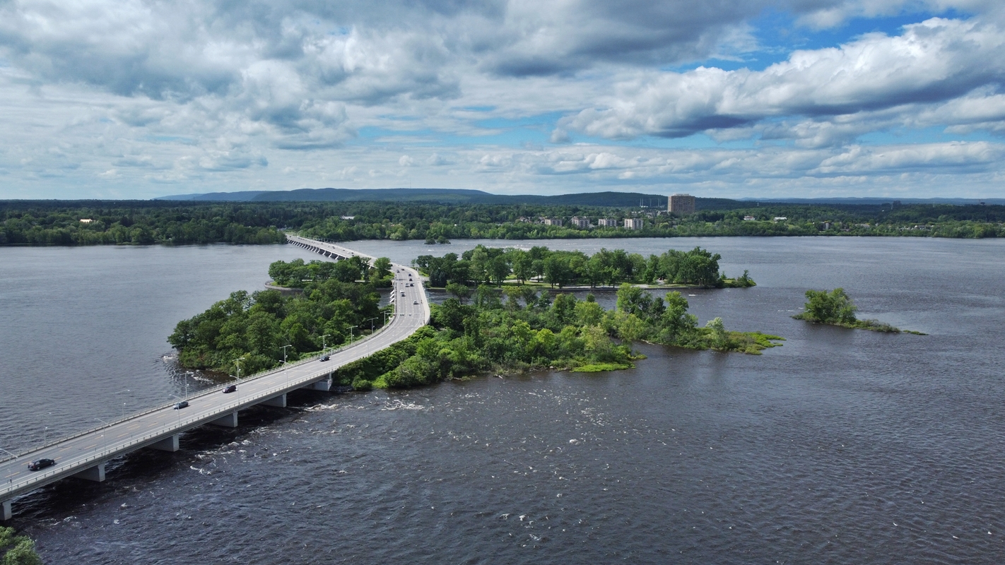
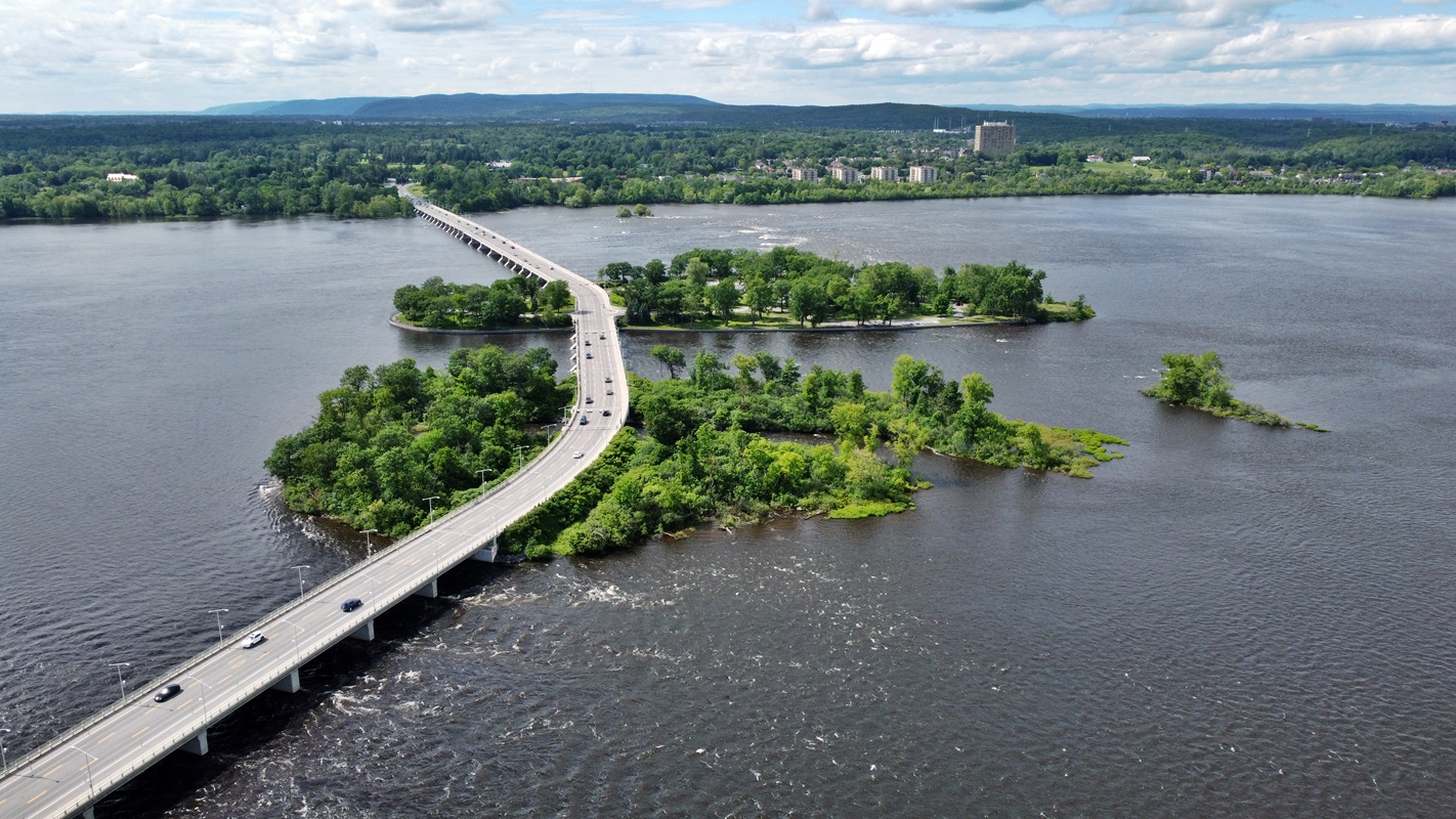
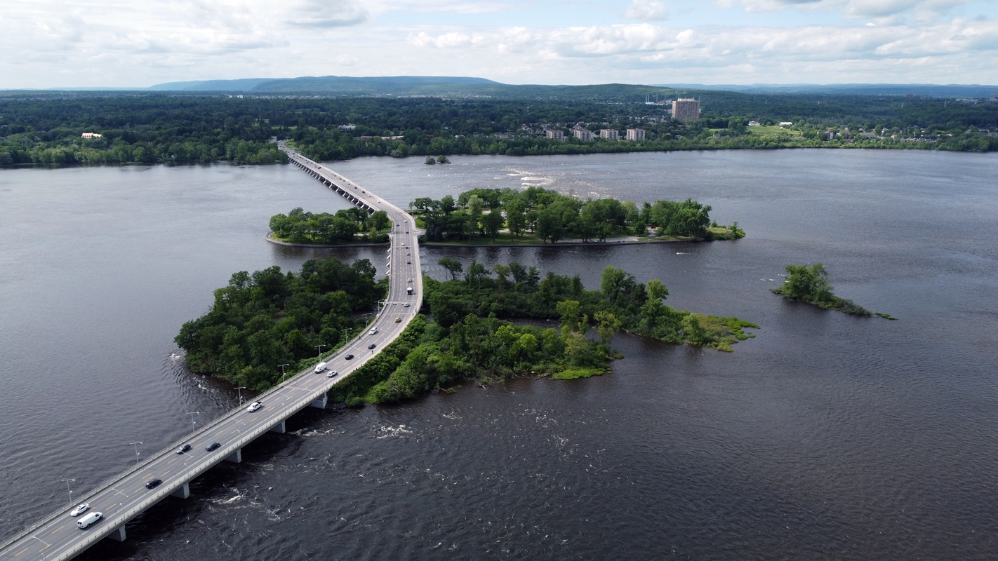
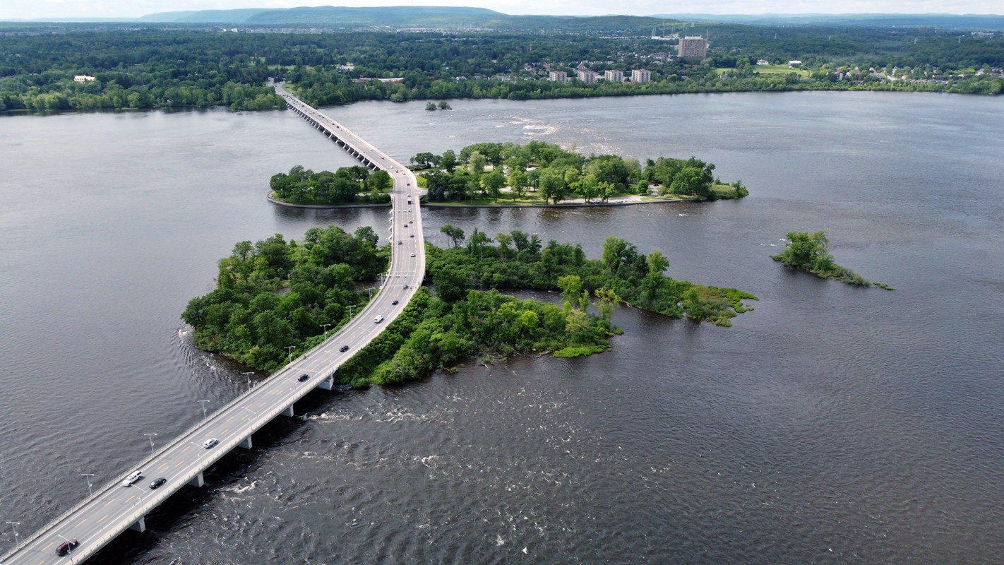
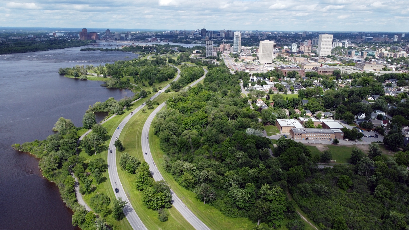
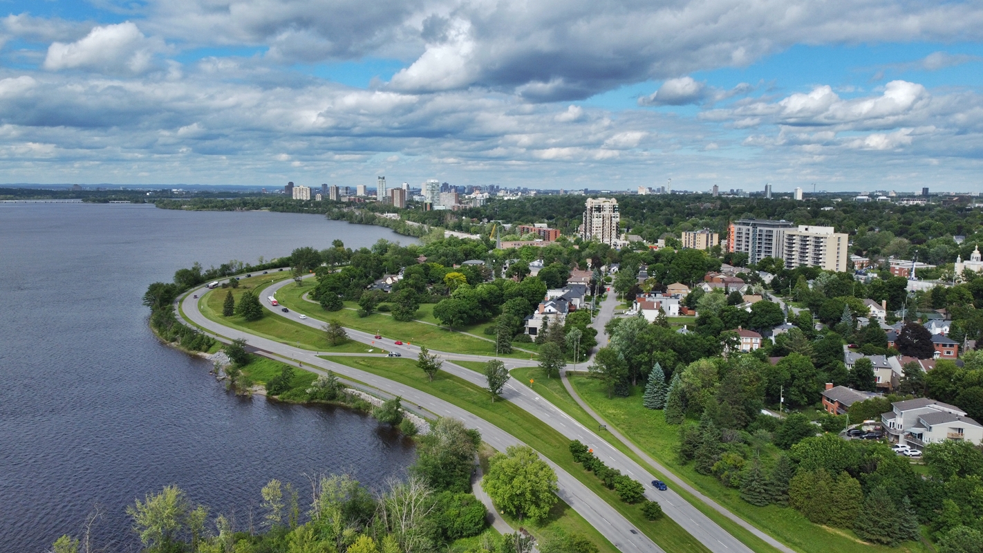
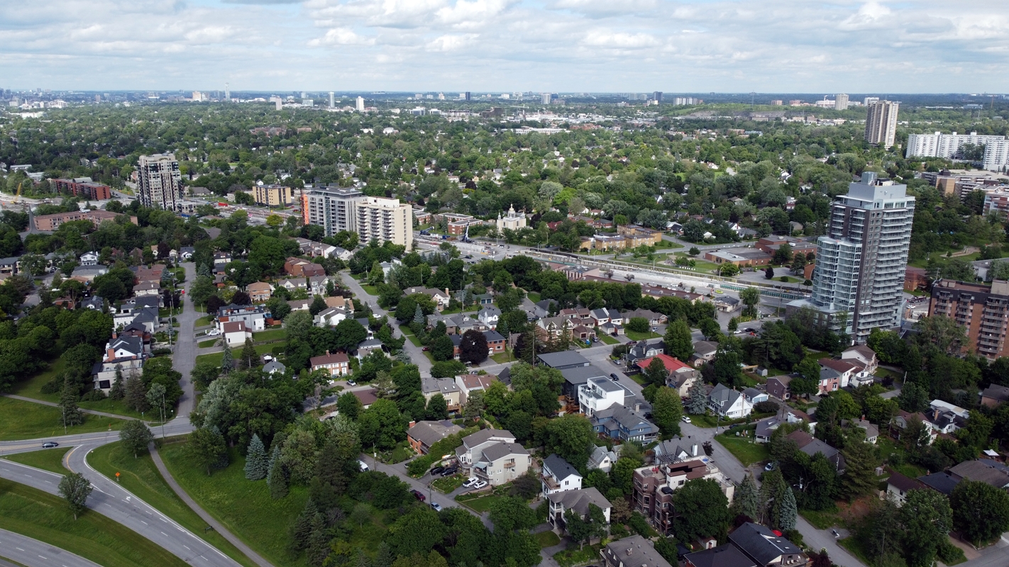
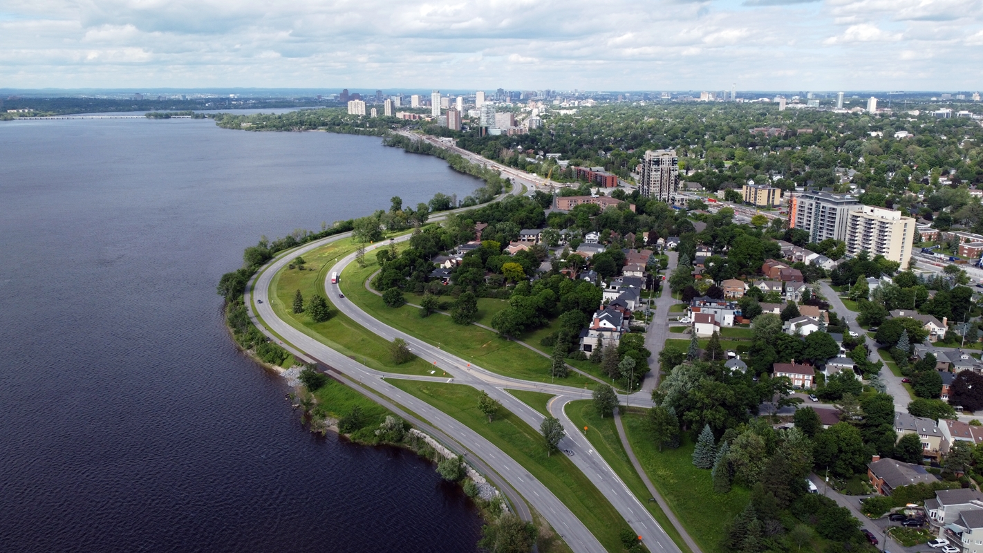
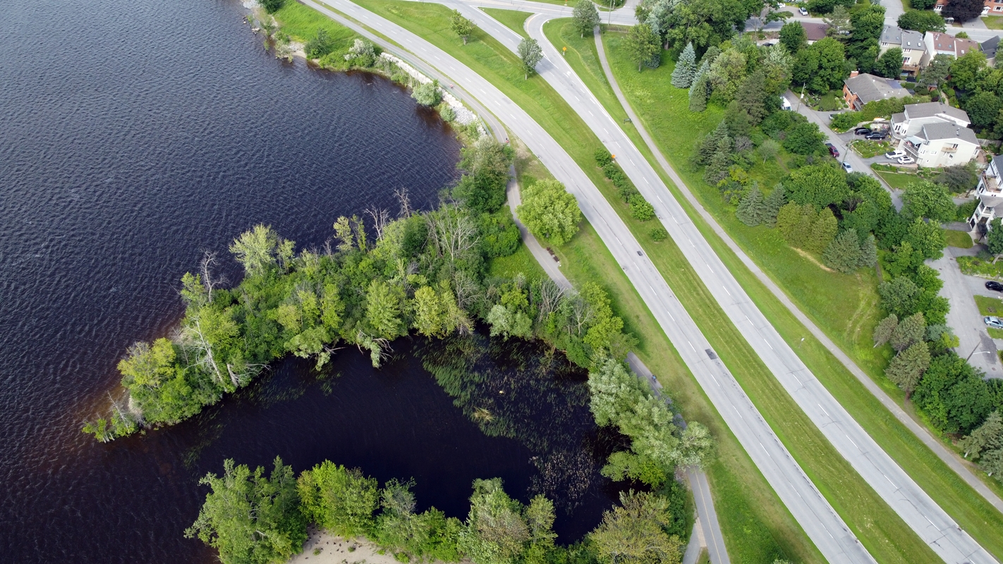
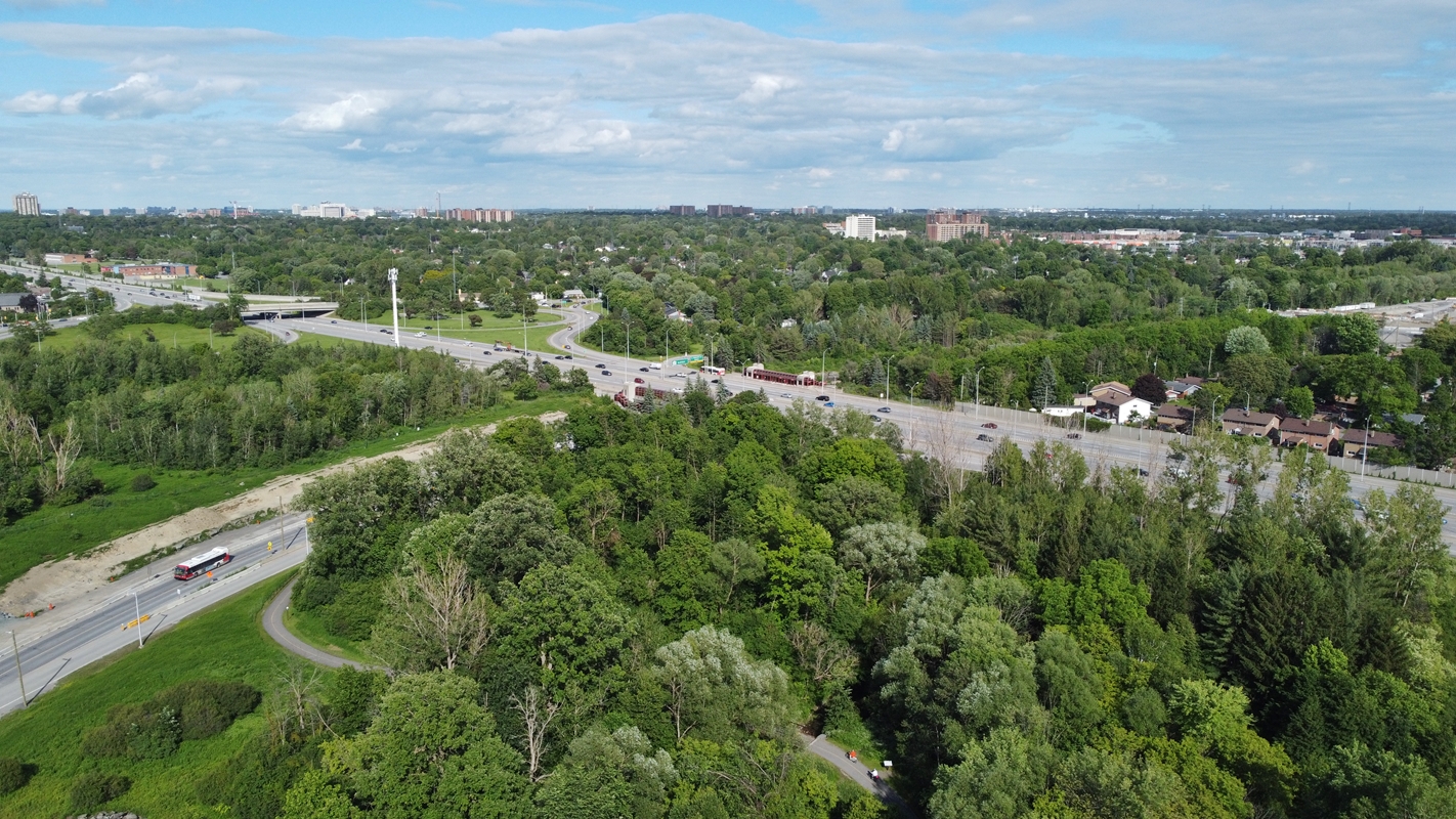
Island Park Drive | Remic Rapids | Cunningham Island | Riopelle Island:
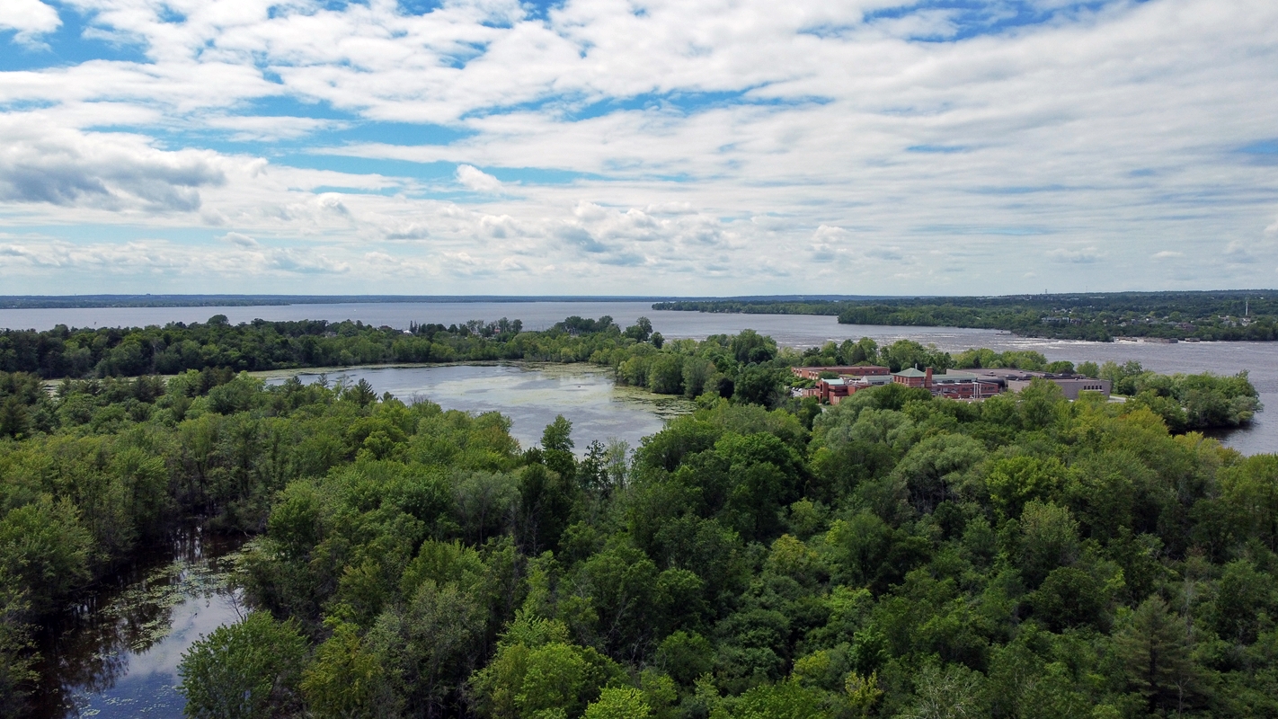
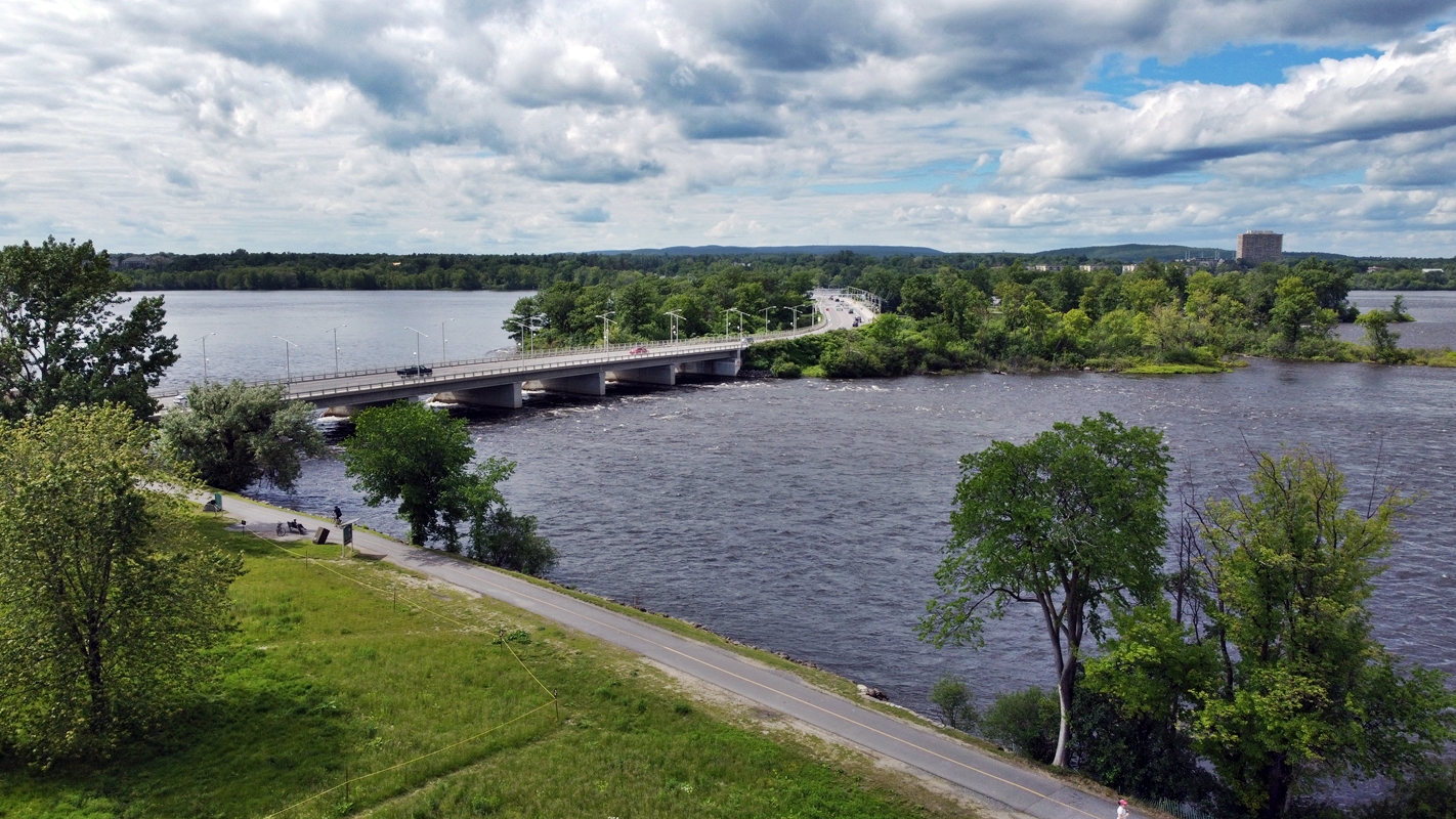
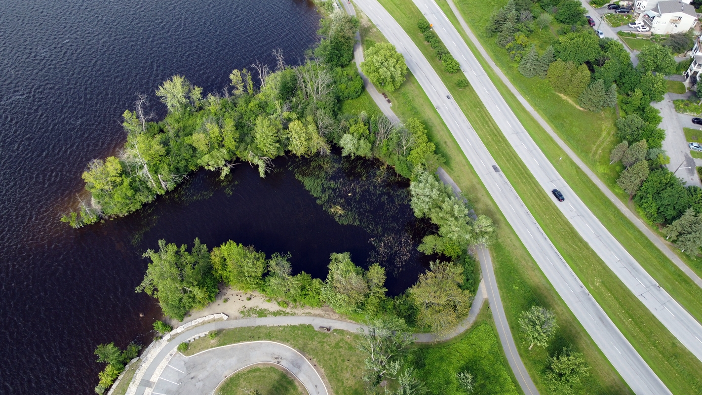
From Westboro Beach decided to venture over here for further “content”. More pictures, videos, stress-testing the drone, and just to see the scenery. Just because I can, I shall. Recalling the past, I even remember the time my parents too me here as a kid to ‘Squirrel Island’, or even ‘Chipmunk Island’. Ah, the fond memories. Even though it was hot and breezy, my drone took everything like a champ. The DJI Mini SE is a beast in 22km/h wind. The higher I took it the more it proved itself. The cap was 120 m, probably self-imposed, or custom setting.
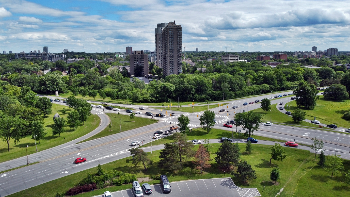
Shortly before the above image I had a slight panic attack attempting to regain my sense of direction with the drone. Was trying to figure out the orientation, the controls, and where the drone was at panicking a fair bit. Regained my sense of direction, my orientation, and had my fun with the drone some more. Would have lost it in either the tree or river.
I blame Dictator Trudeau and Dictator Watson for the dark contrast in the downtown area. Bunch of clowns they are.
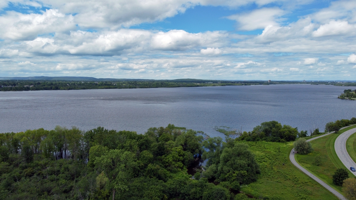
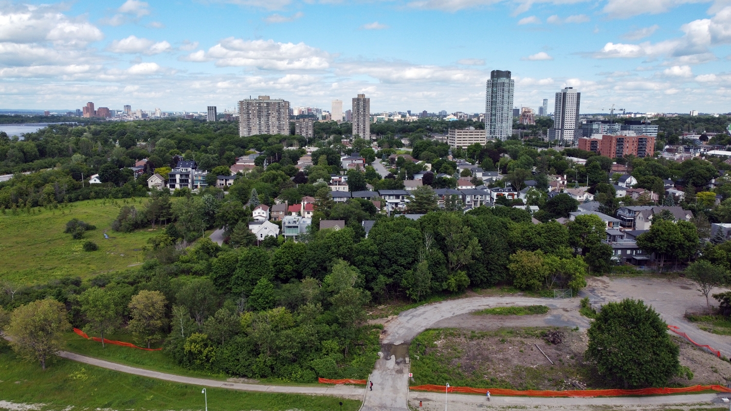
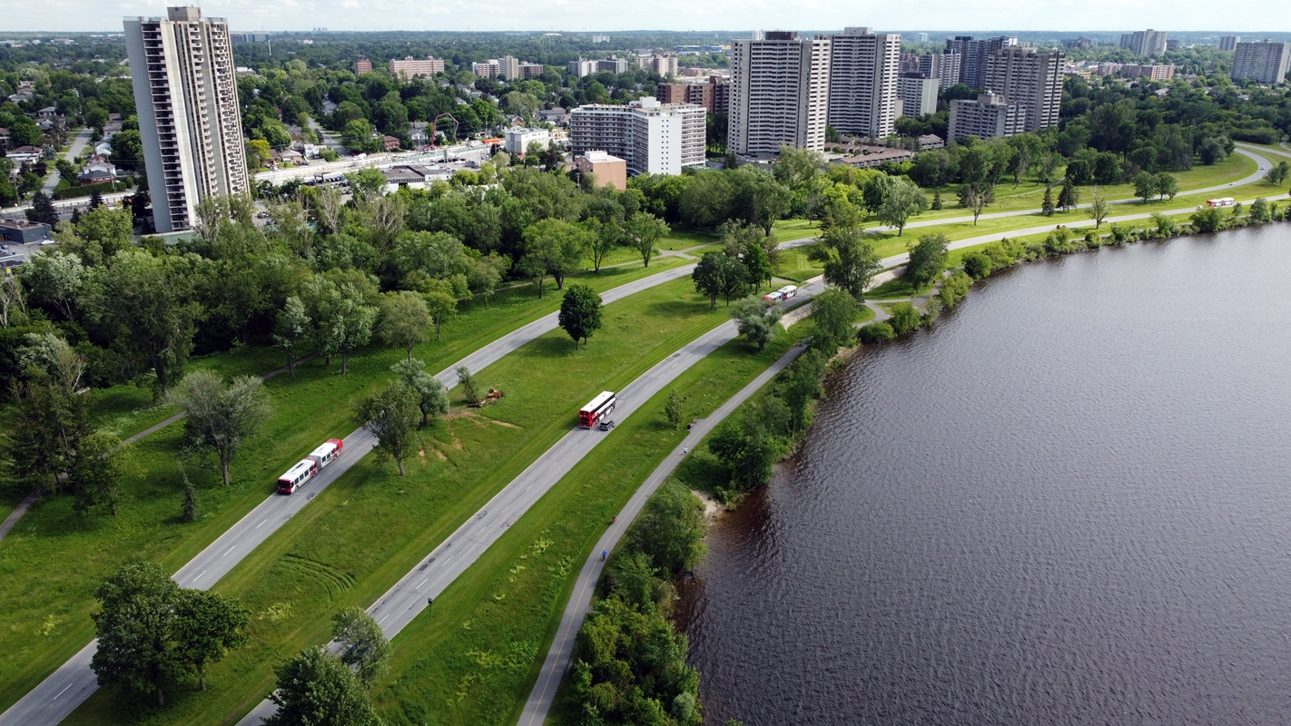
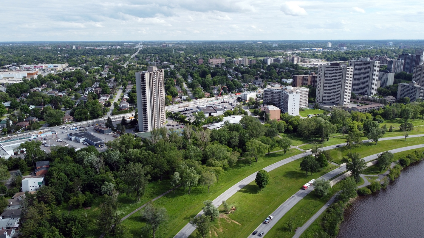
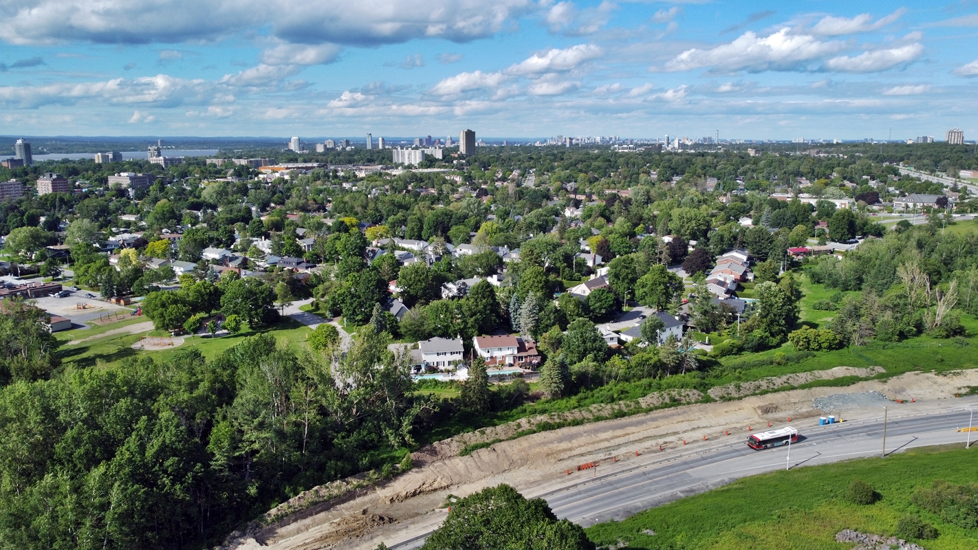
Deschênes Rapids Lookout:
Came to this area earlier in the day when heading towards Westboro Beach. The area was fairly populated preventing me from flying my drone (though I could have done it) making me skip it till this moment. Cycling back was a struggle nearly running over the youngling Canada Geese while others forced their way through them in a semi-rude manner. They’re cute (Youngling Canada Geese), Ottawaians however have this weird attitude about them. Yeah. Glad those Geese stayed safe.
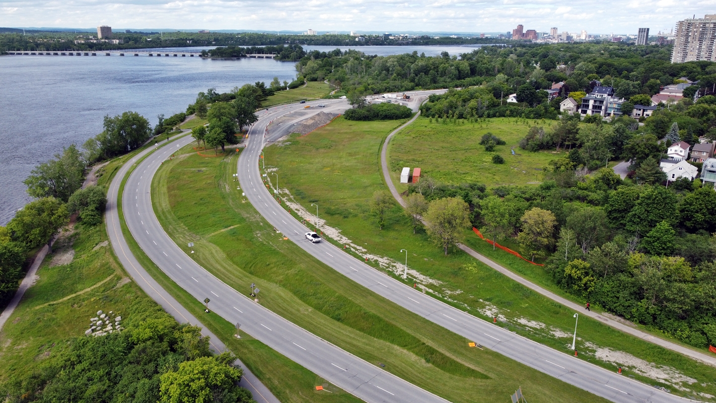
(All the images are near, or at 120 m in this area.)
Further wind-stress-testing my DJI Mini SE drone finding out it can easily take 22km/h like a champ. It drifted slightly, though have may been me moving it around in the air to view things around the area.
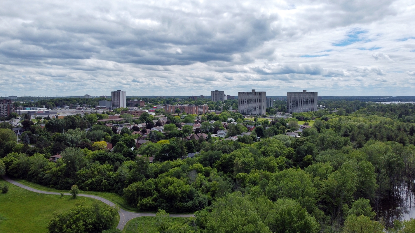
It’s honestly a shame knowing that with a city this beautiful it’s filled with SJW morons who are against freedom, has a clown for a Prime Minister & city mayor, and even SJW lunatics on Reddit pretending the world is against them. Many delusional people surrounded by gorgeous nature and scenery. It’s honestly a shame this gorgeous scenery is wasted on trashy people like ‘Social Justice Warriors’ residing in Ottawa, attack people on Reddit, and other people doing stupid ass crap.
I love Ottawa for its scenery, its food, and certain luxuries. There are other things that just simply frustrate me with how naive the “other half” of Ottawa is. Twats. LOOK at the above image…. A beautiful city. I guess it comes with the territory with how many people reside in the city, and surrounding areas.
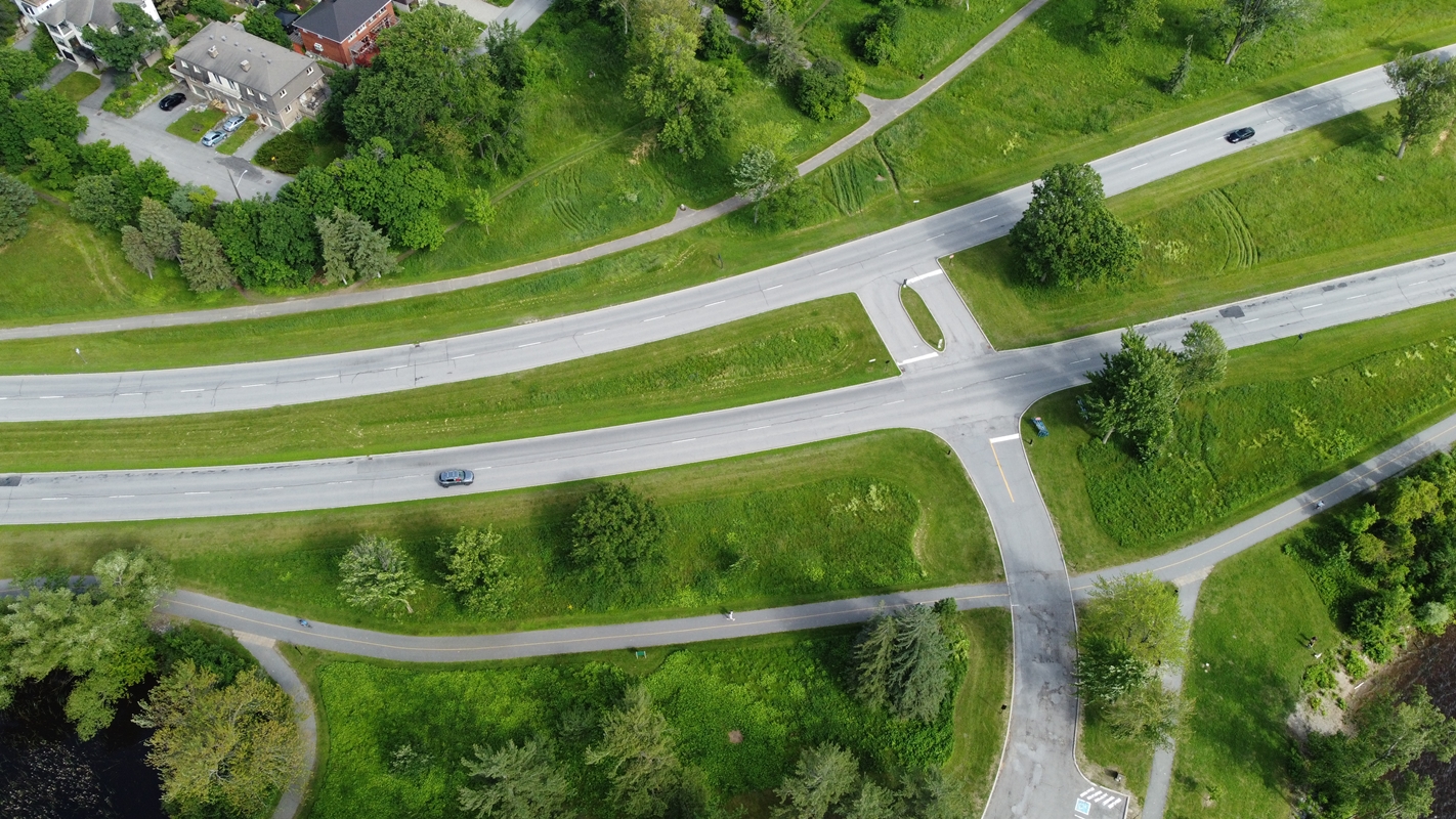
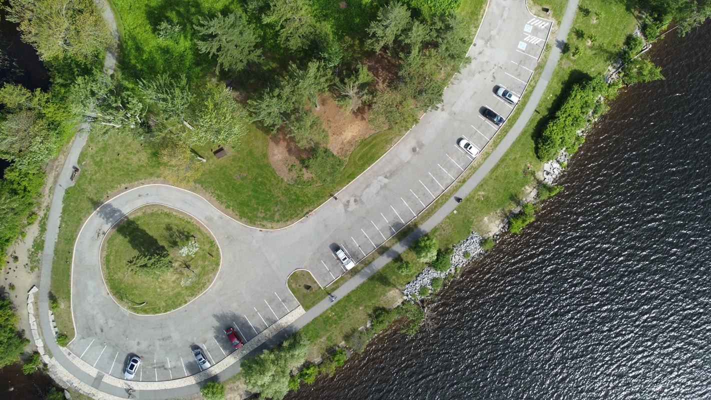
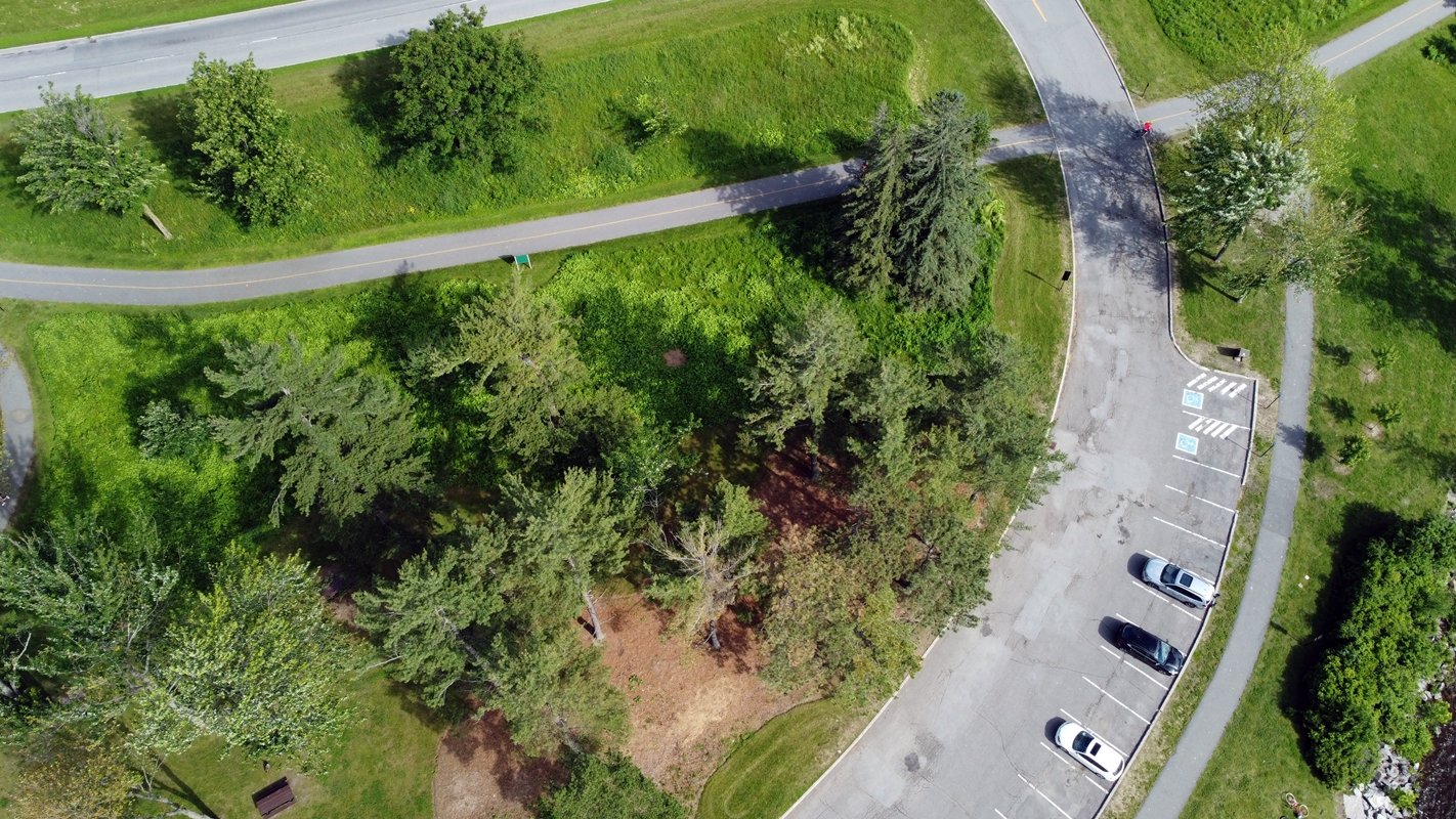
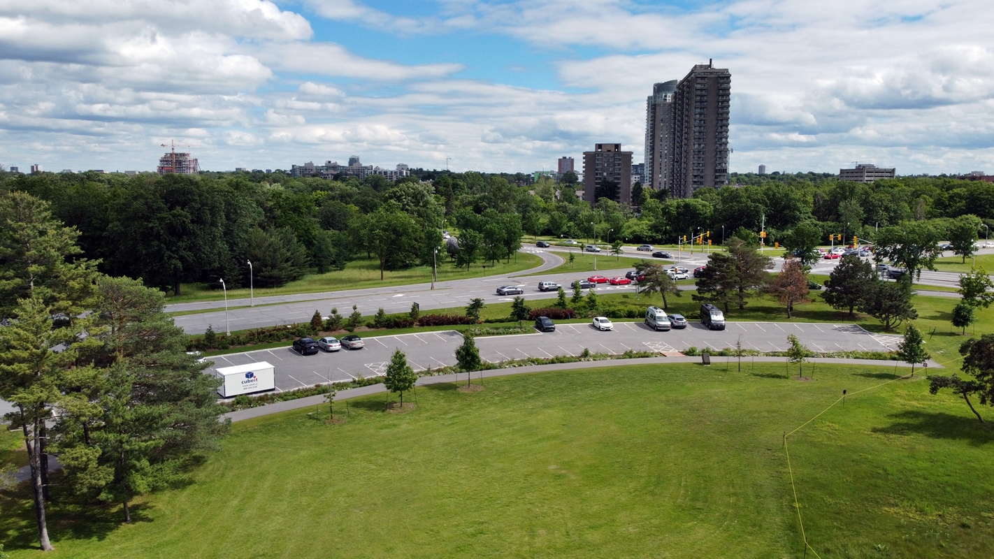
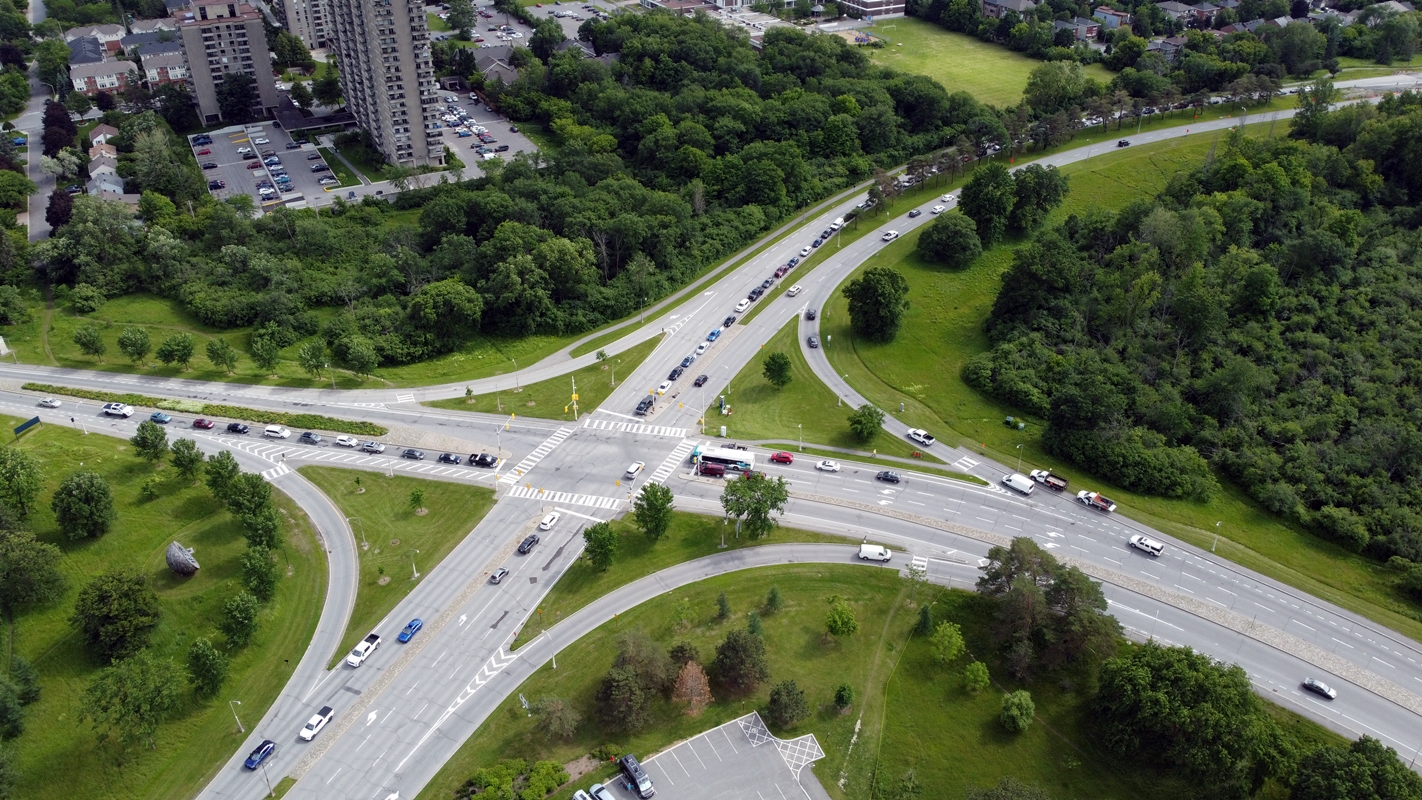
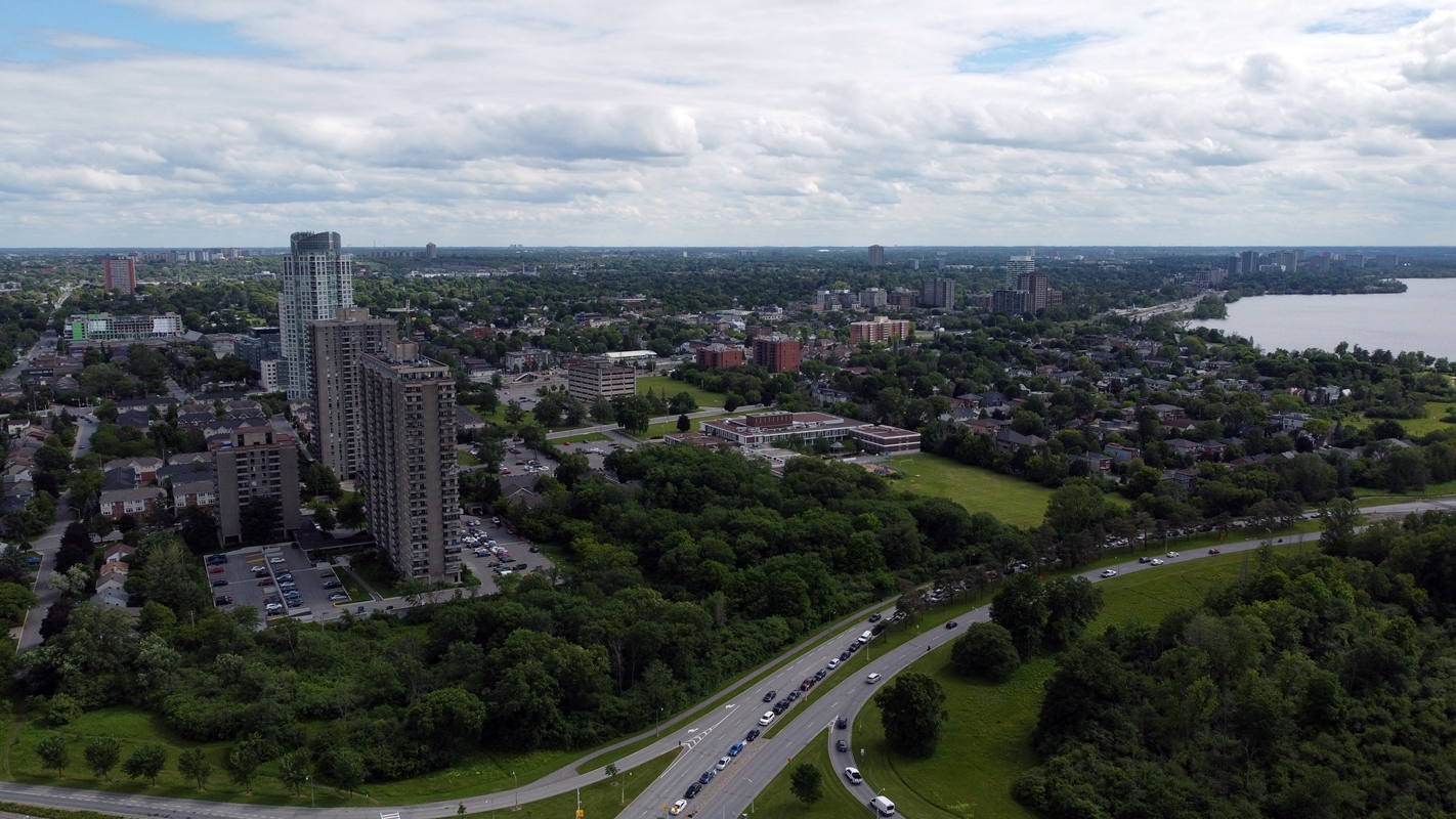
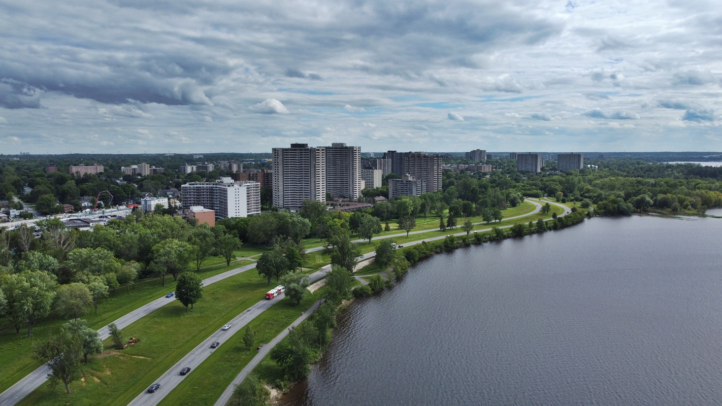
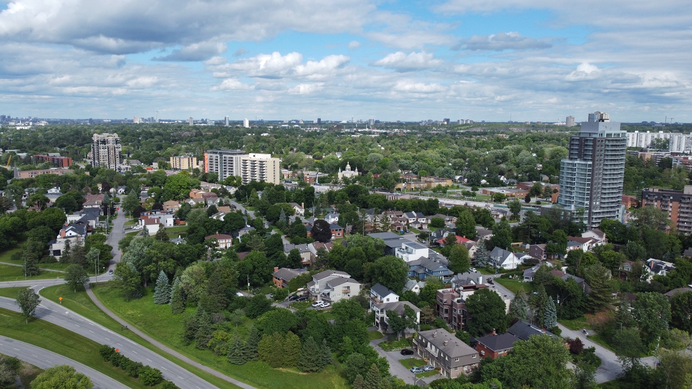
Extra Drone Images:
Bonus Images:
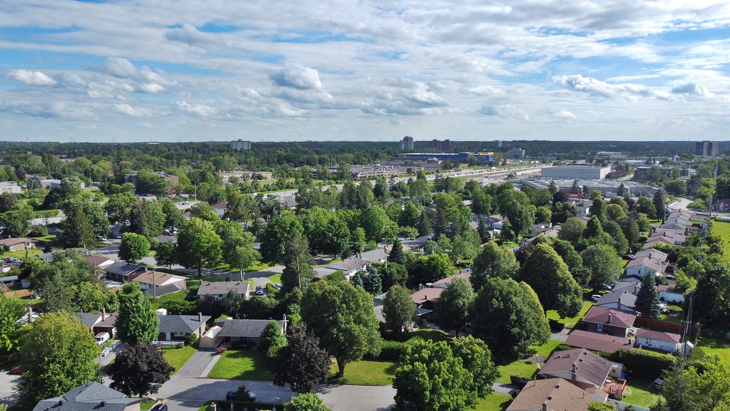
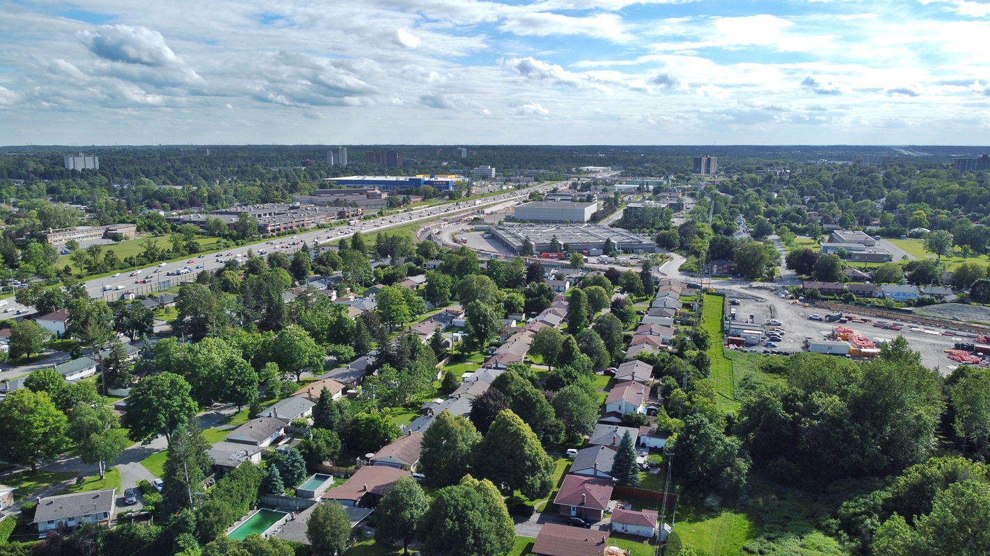
Just a few random images during my trip around the city trying to learn how to use my drone.

And that’s a wrap!