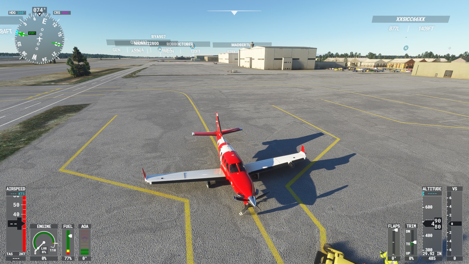
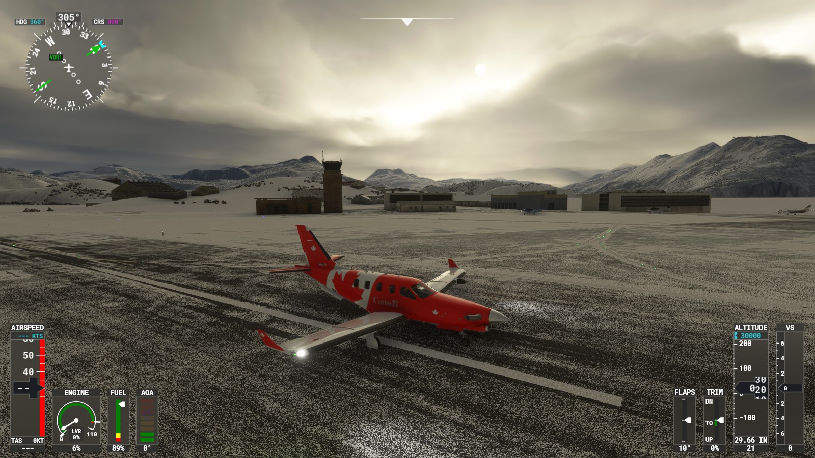
– Waiting at Anchorage Intl’ for my friend to spawn in. If ‘IRL’ I would have a great view of vintage planes.
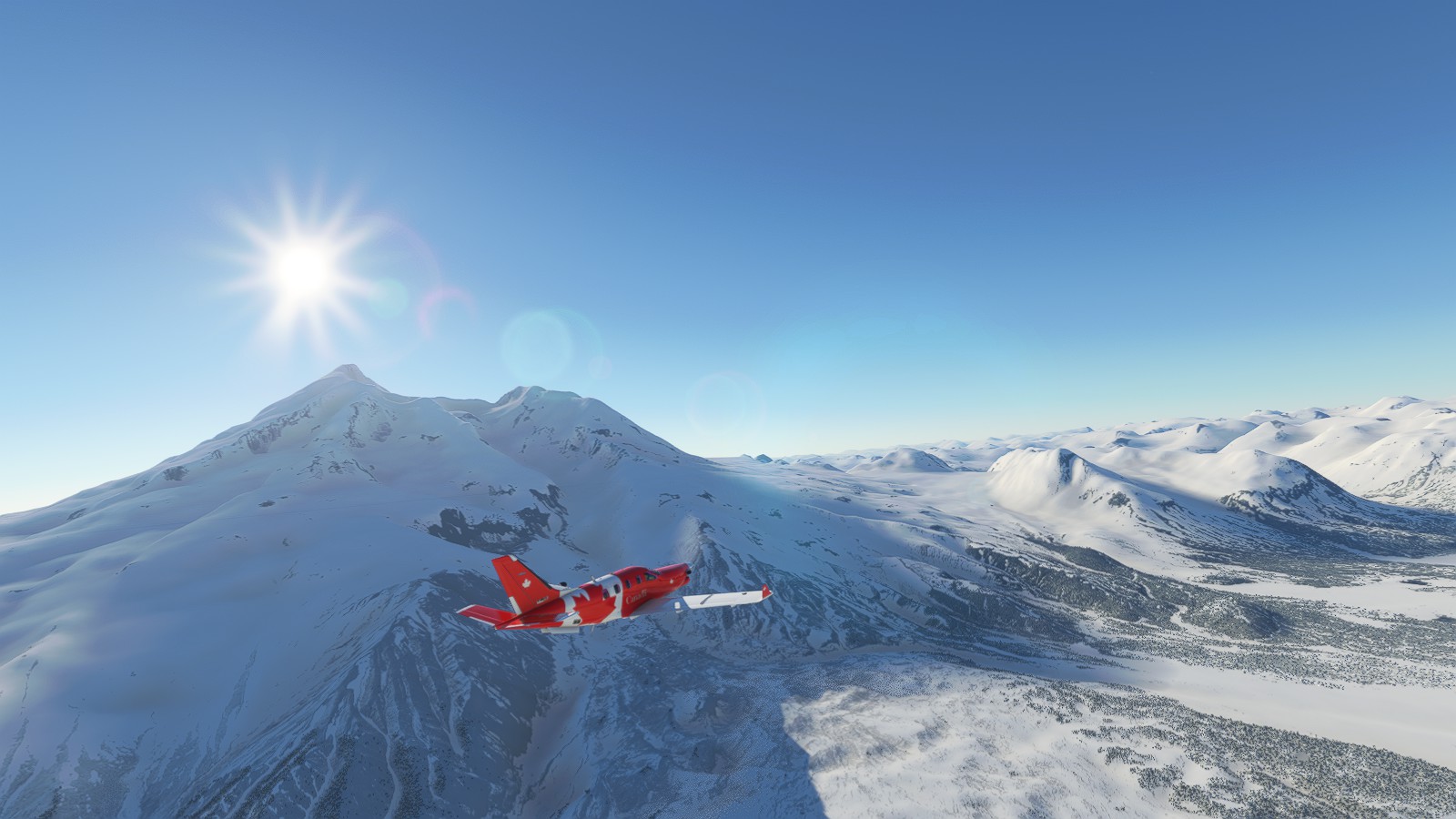
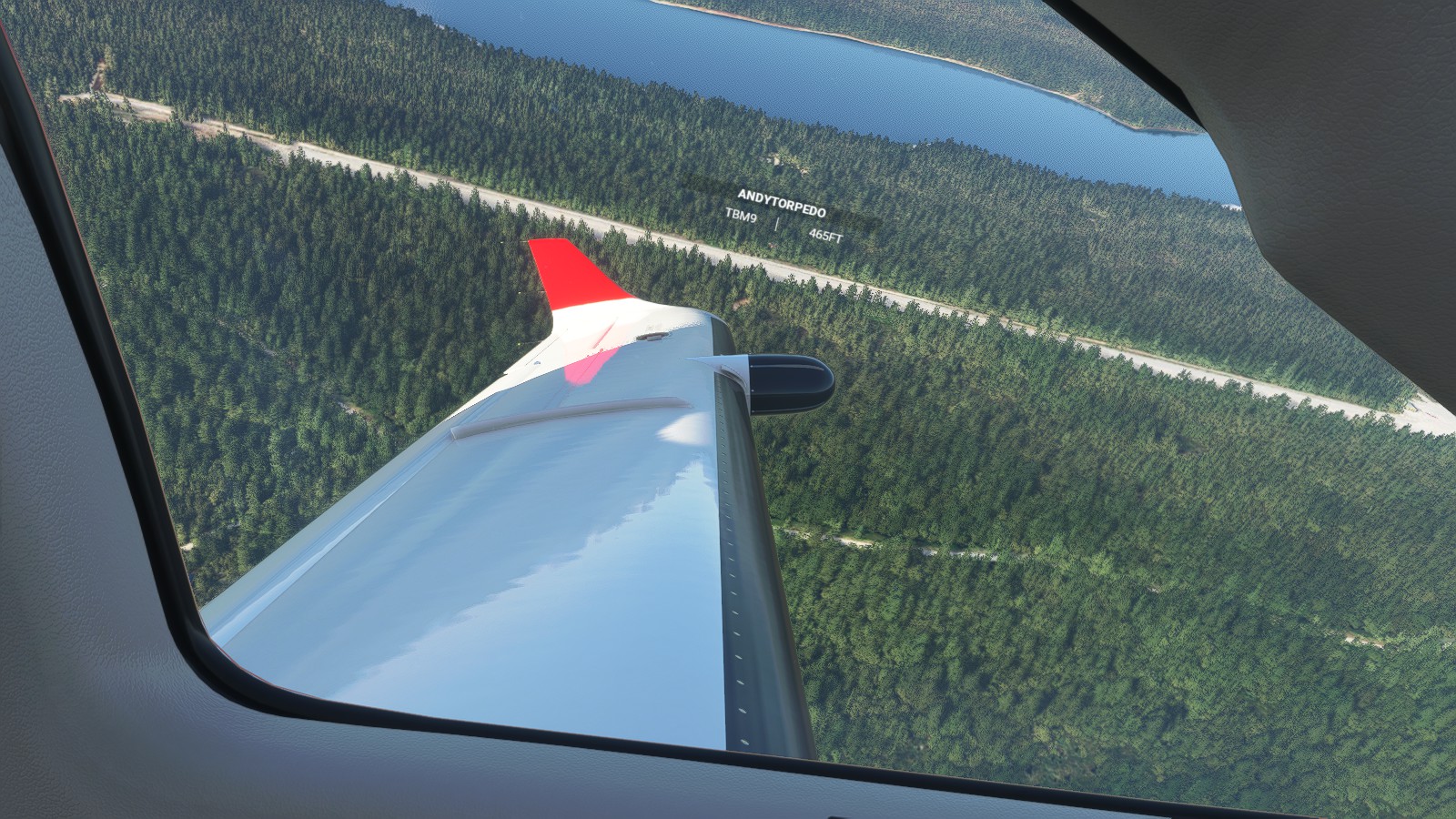
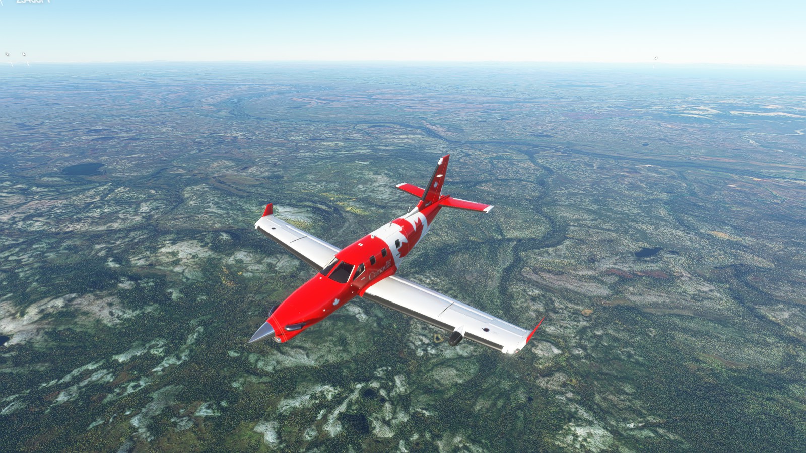
I’m genuinely amazed by how gorgeous Alaska is. Yes, even in Microsoft Flight Sim. I genuinely want to go back here for some bush flying even in a digital manner. I’m aware I can venture back there anytime, I’m however doing a challenge of where I last left off is where I fly from, hence these parts and blog posting.
Previous trips as follows:
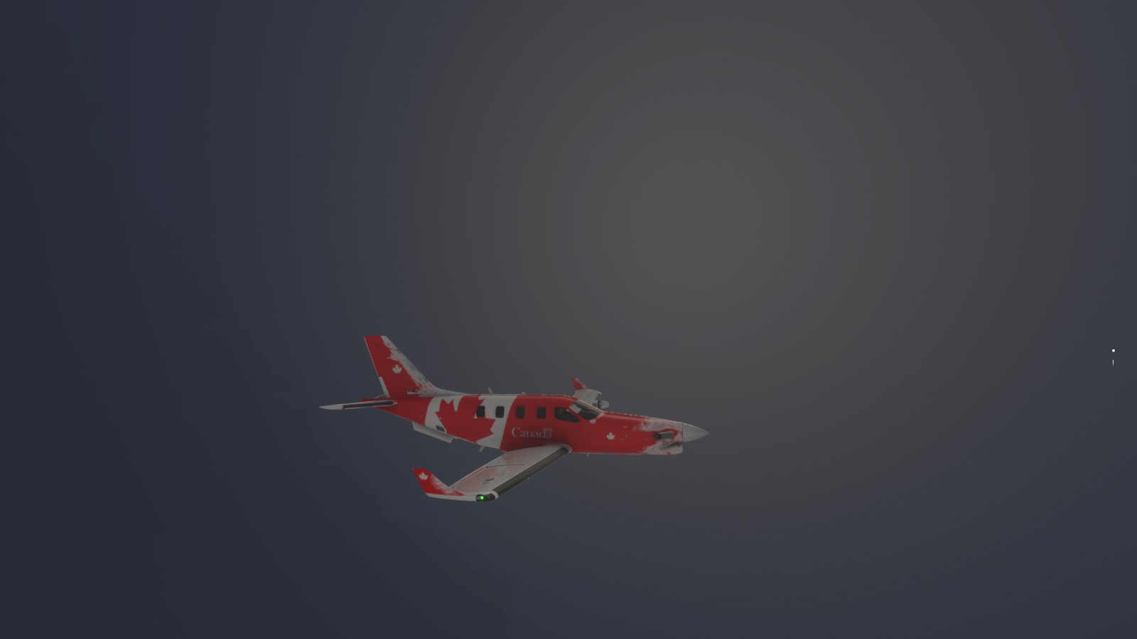
Ottawa(CYND & CYRP) > North Bay(CYYB) > Elliot Lake Municipal Airport’ (CYEL) >Sault Ste Marie (CYAM) > Thunder Bay (CYQT) > Kenora (CYQK) > Winnipeg Int’ (CYWG) > Regina Int’ (CYQR) > Saskatoon (CYXE) > Edmonton Int’ (CYEG) > >Edmonton Int’ (CYEG) > Kelowna (CYLW) > Vancouver (Boundary Bay CZBB) > Kelowna (CYLW) > Vancouver Airport (CYVR) >Port Hardy (CYZT) > Bella Bella (CBBC) > Prince Rupert (CYPR) > Prince Rupert (CYPR) > Yukutat (PAYA) > Anchorage (PANC)
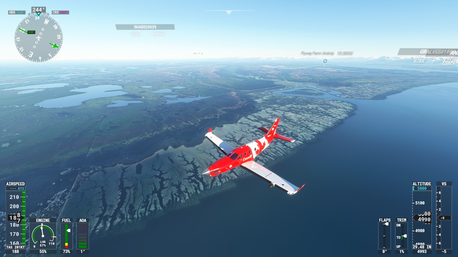
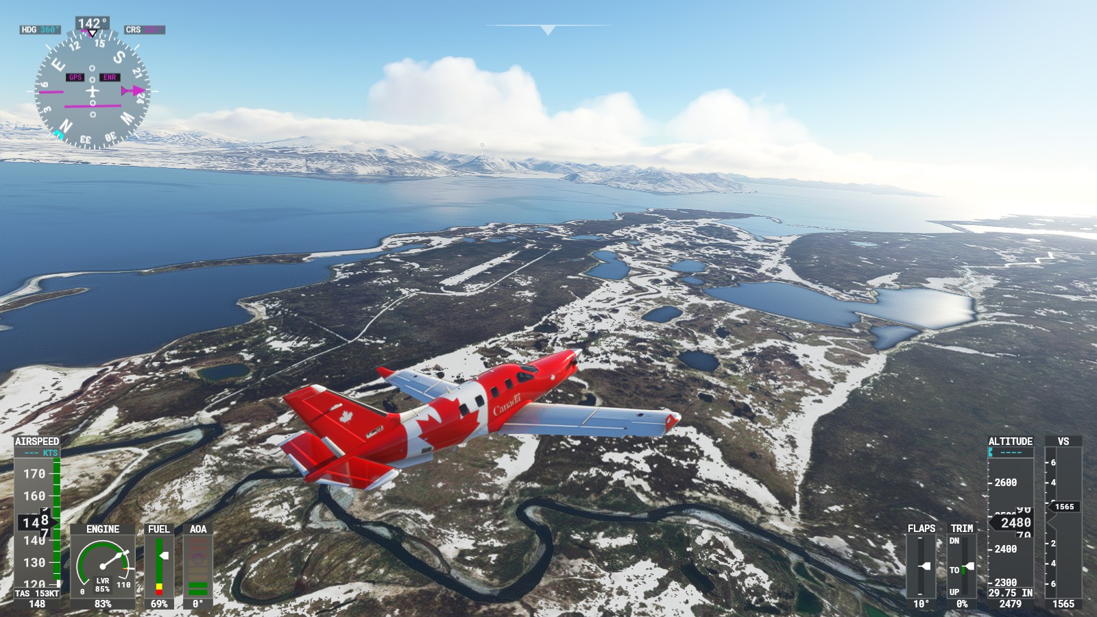
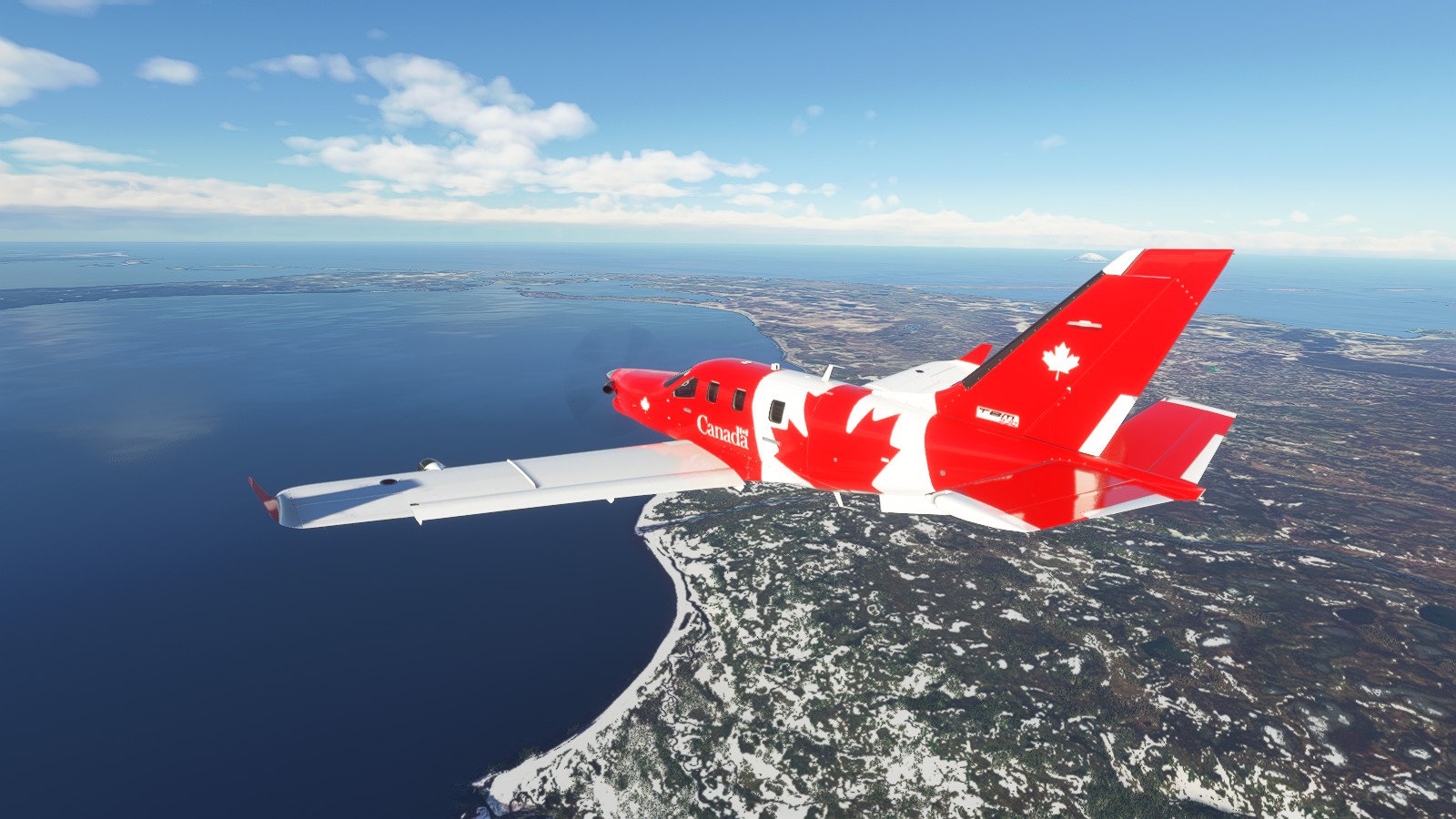
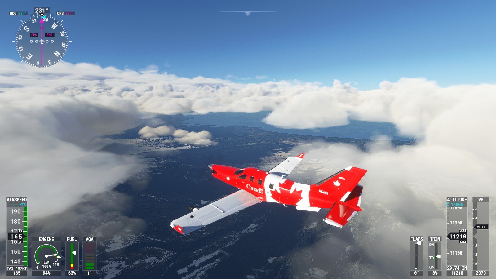
Now to head further west as we follow Alaska’s southern route towards my desired destination.
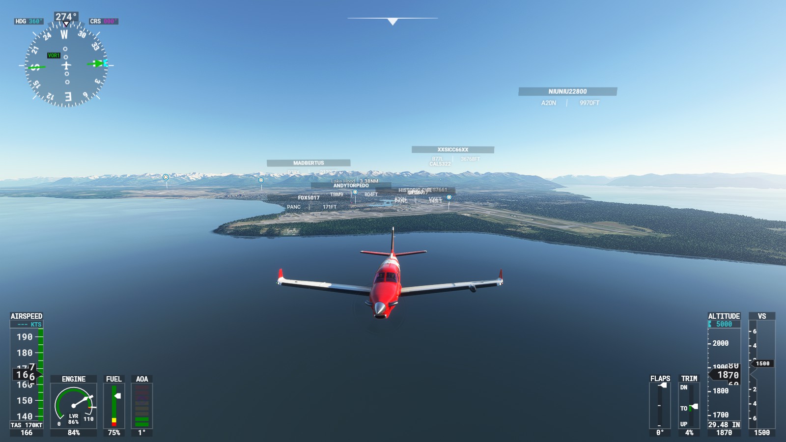
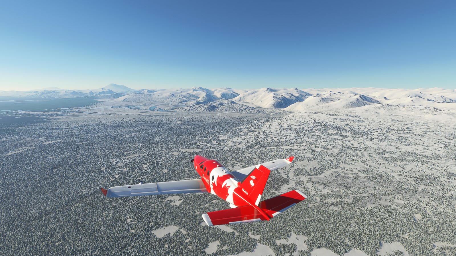
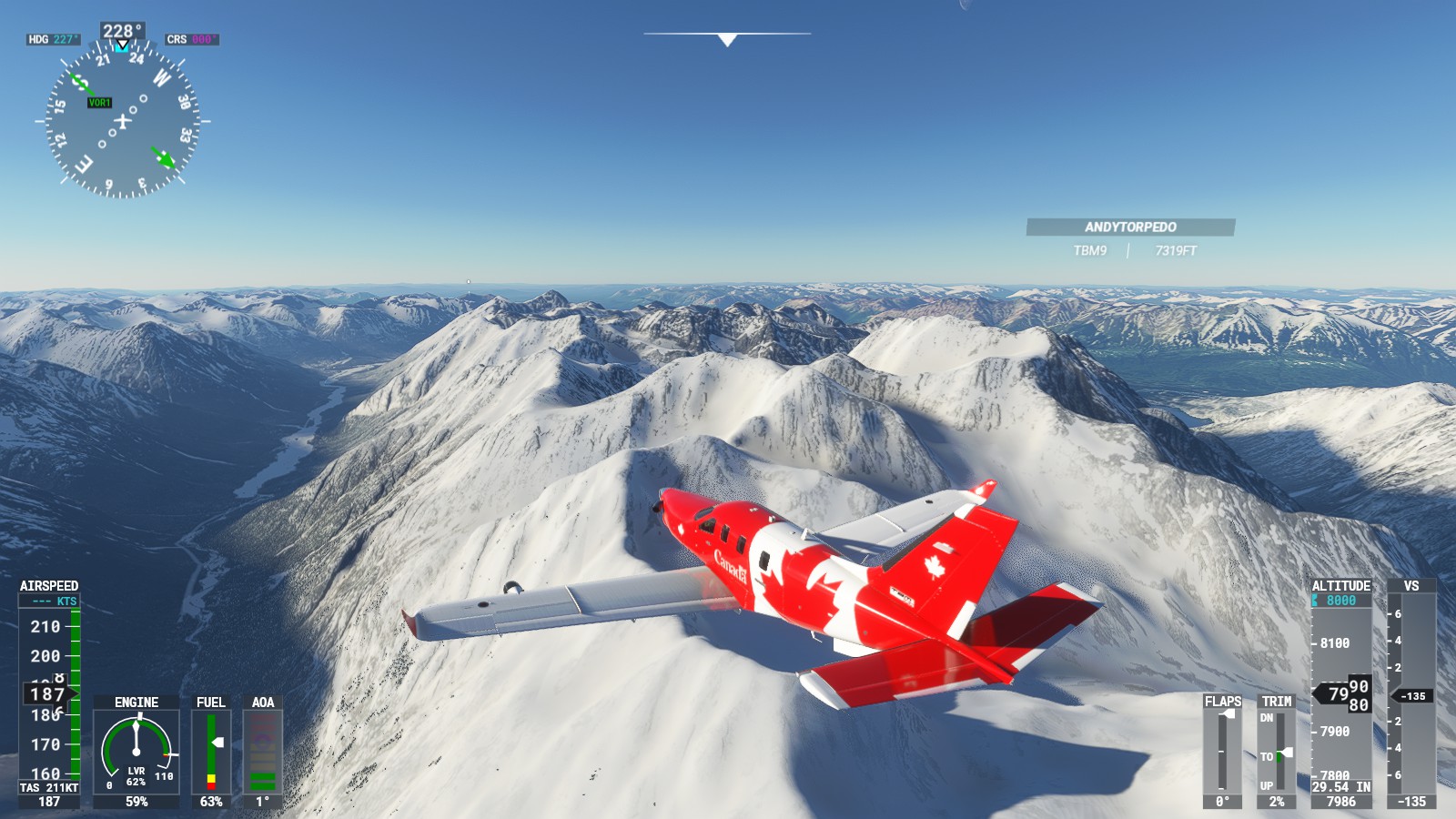
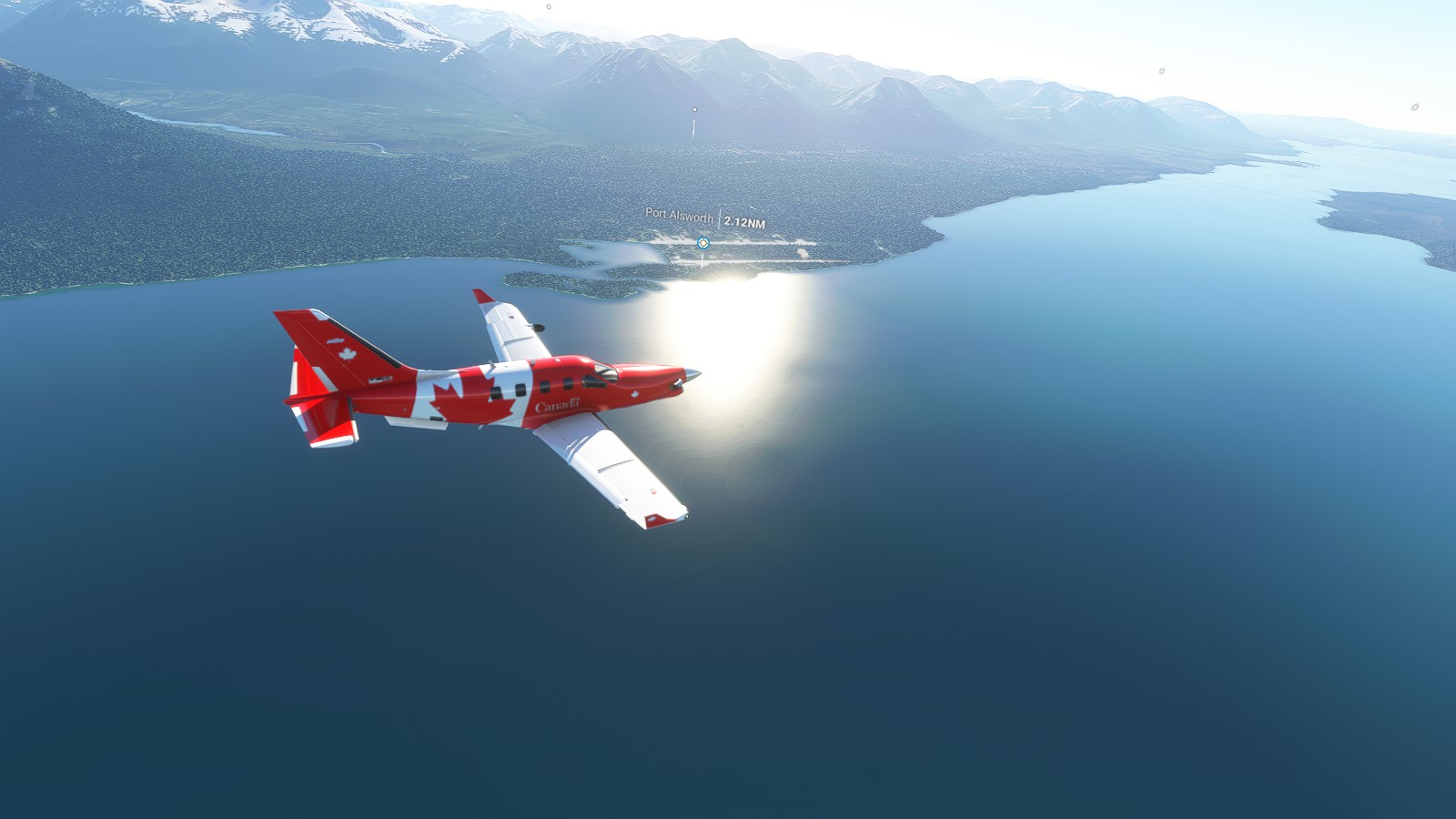
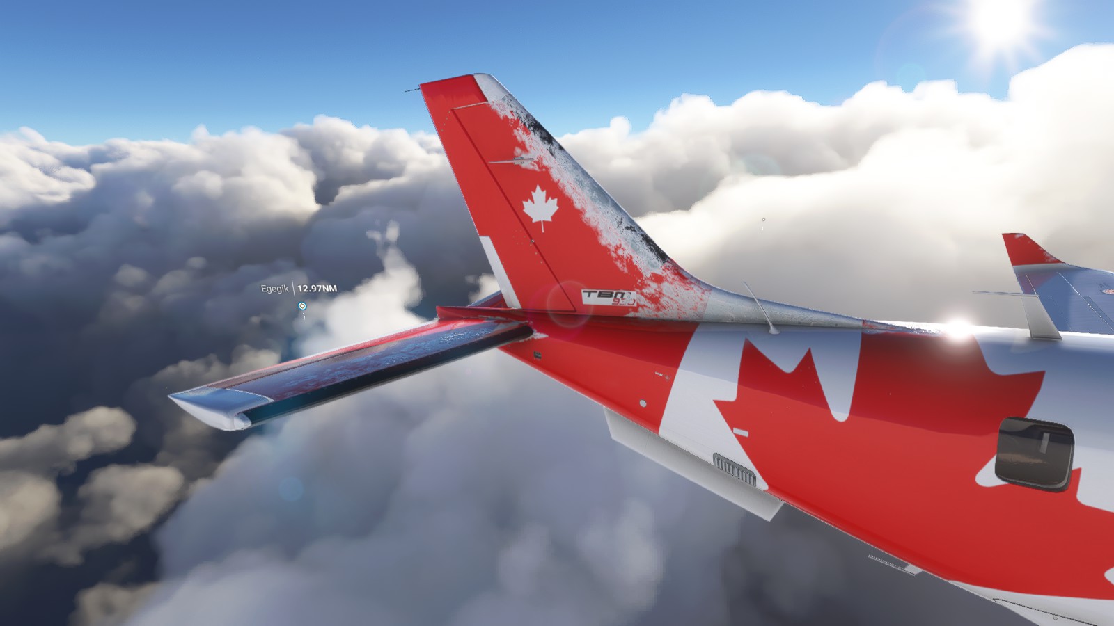
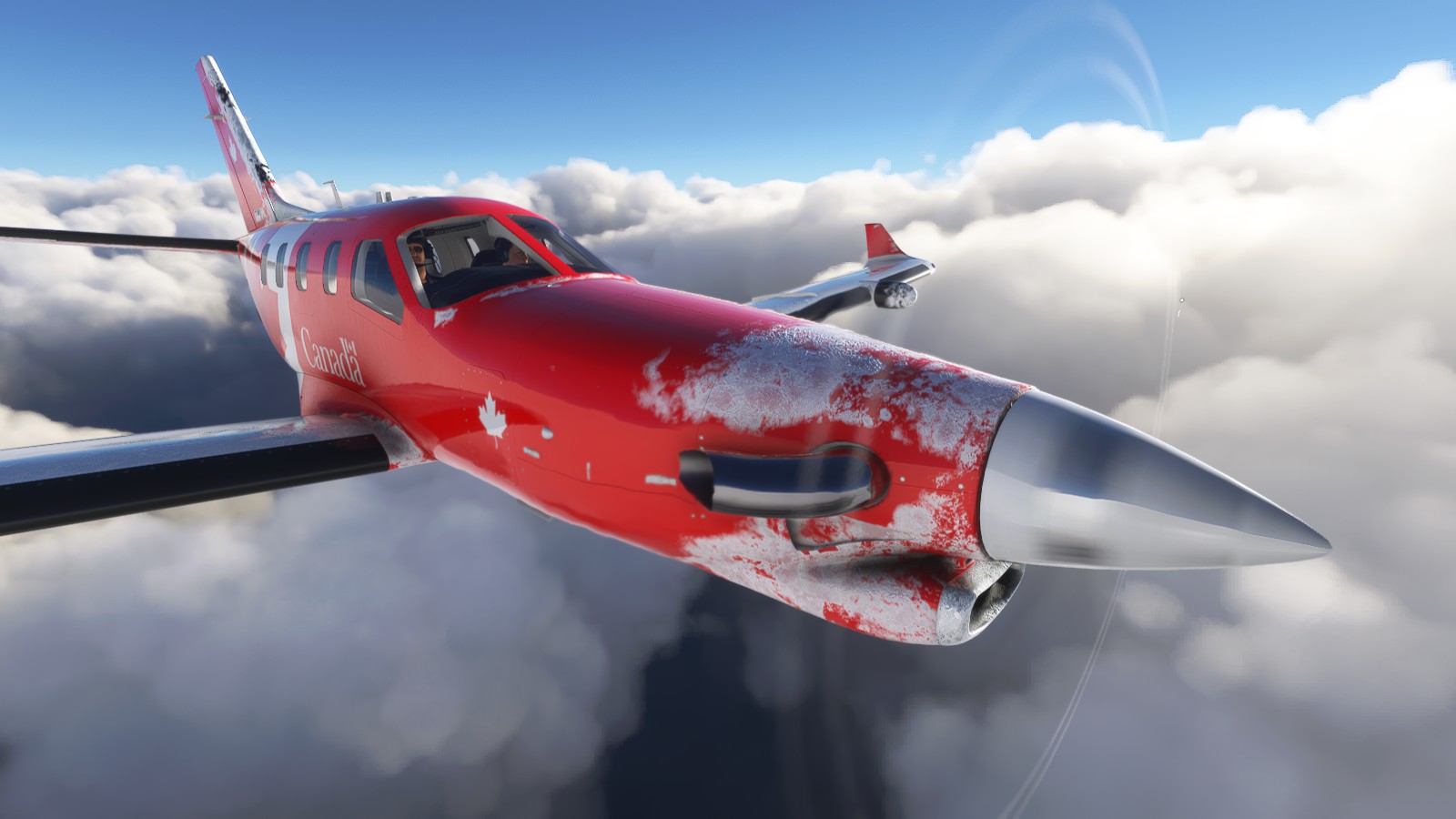
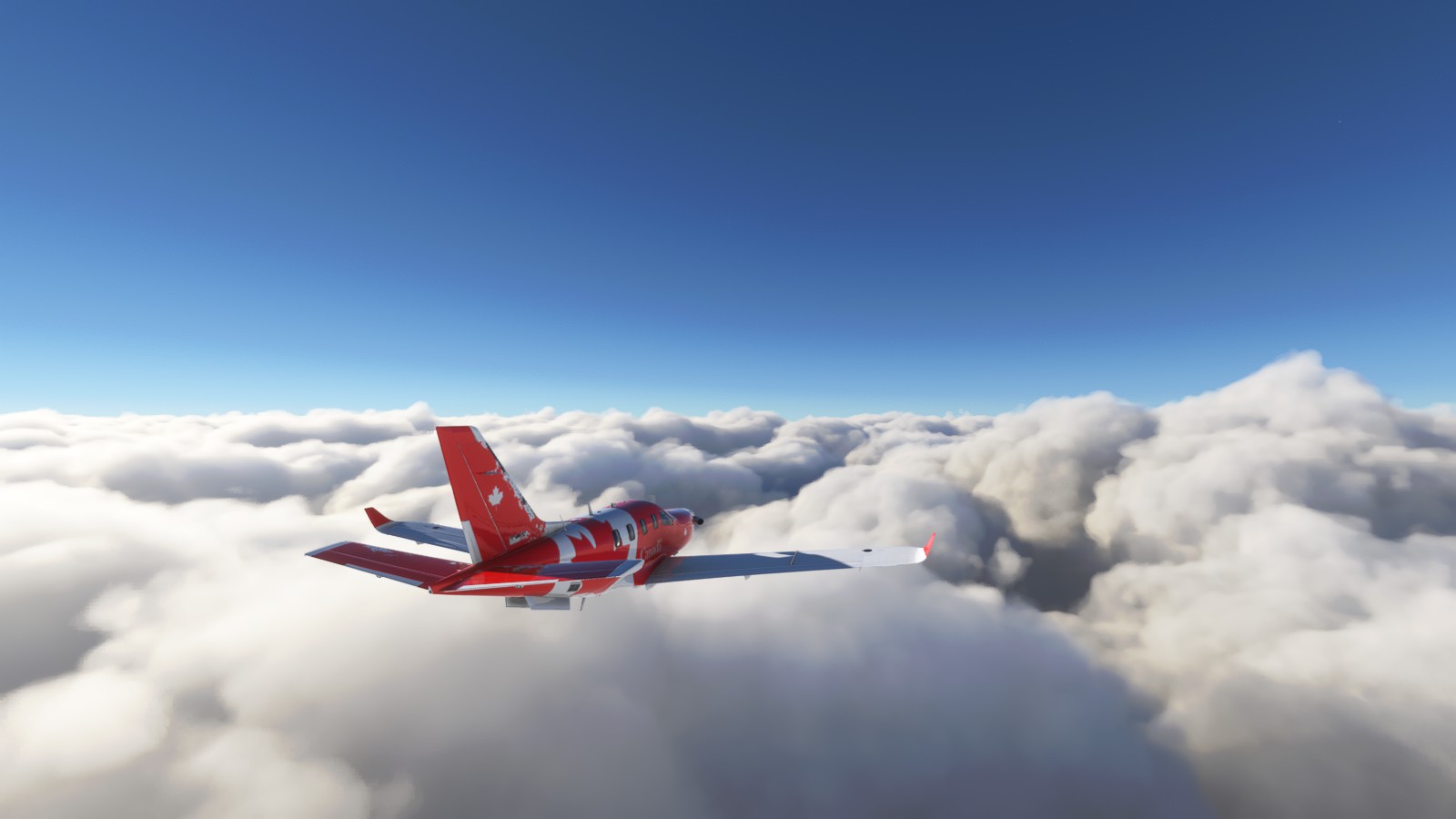
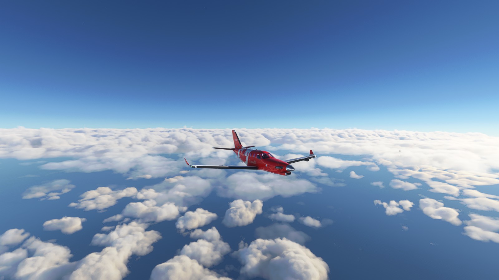
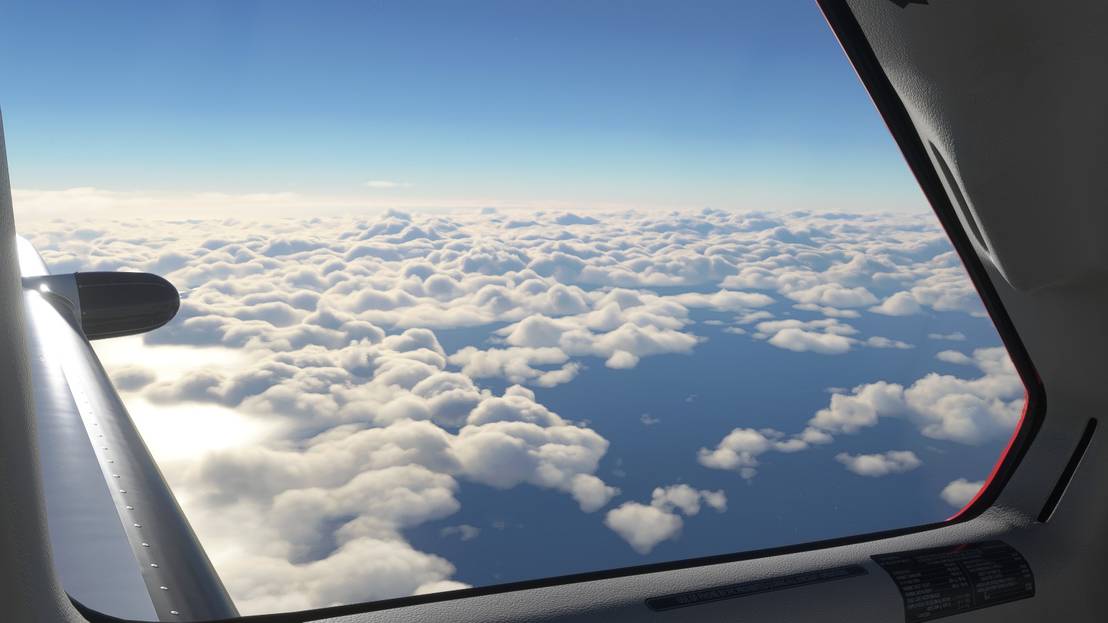
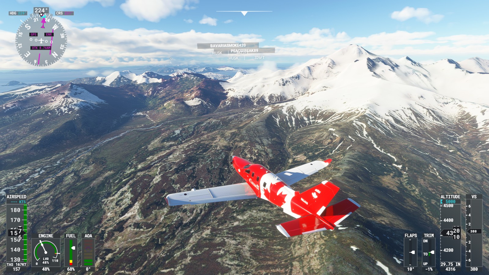
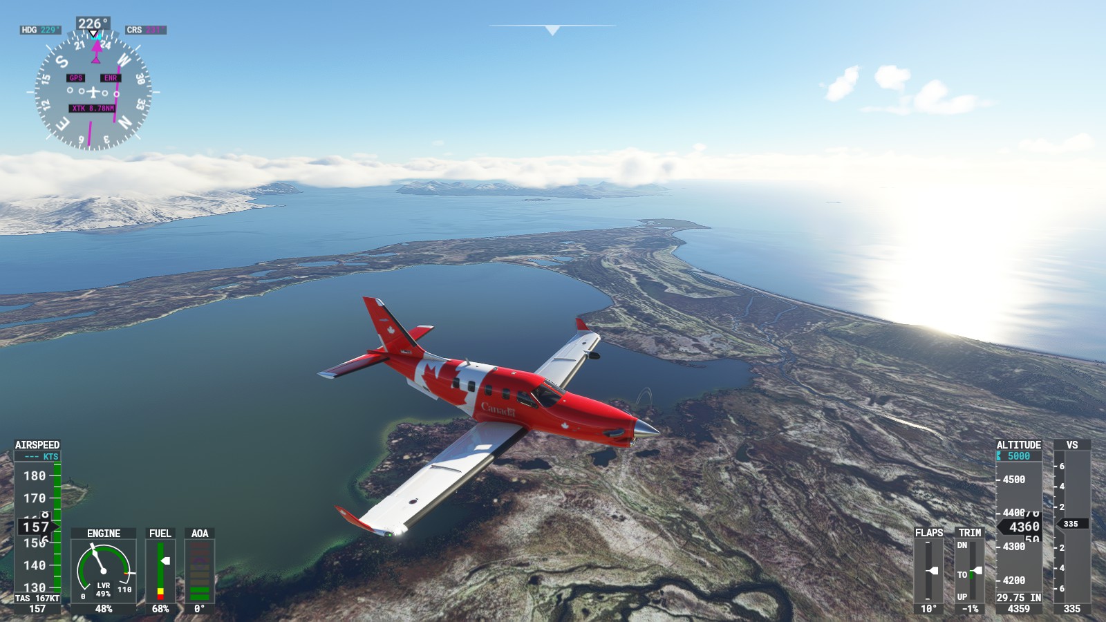
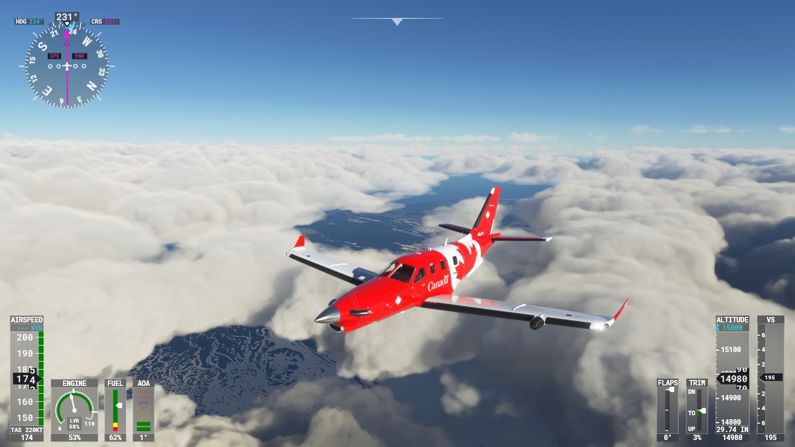
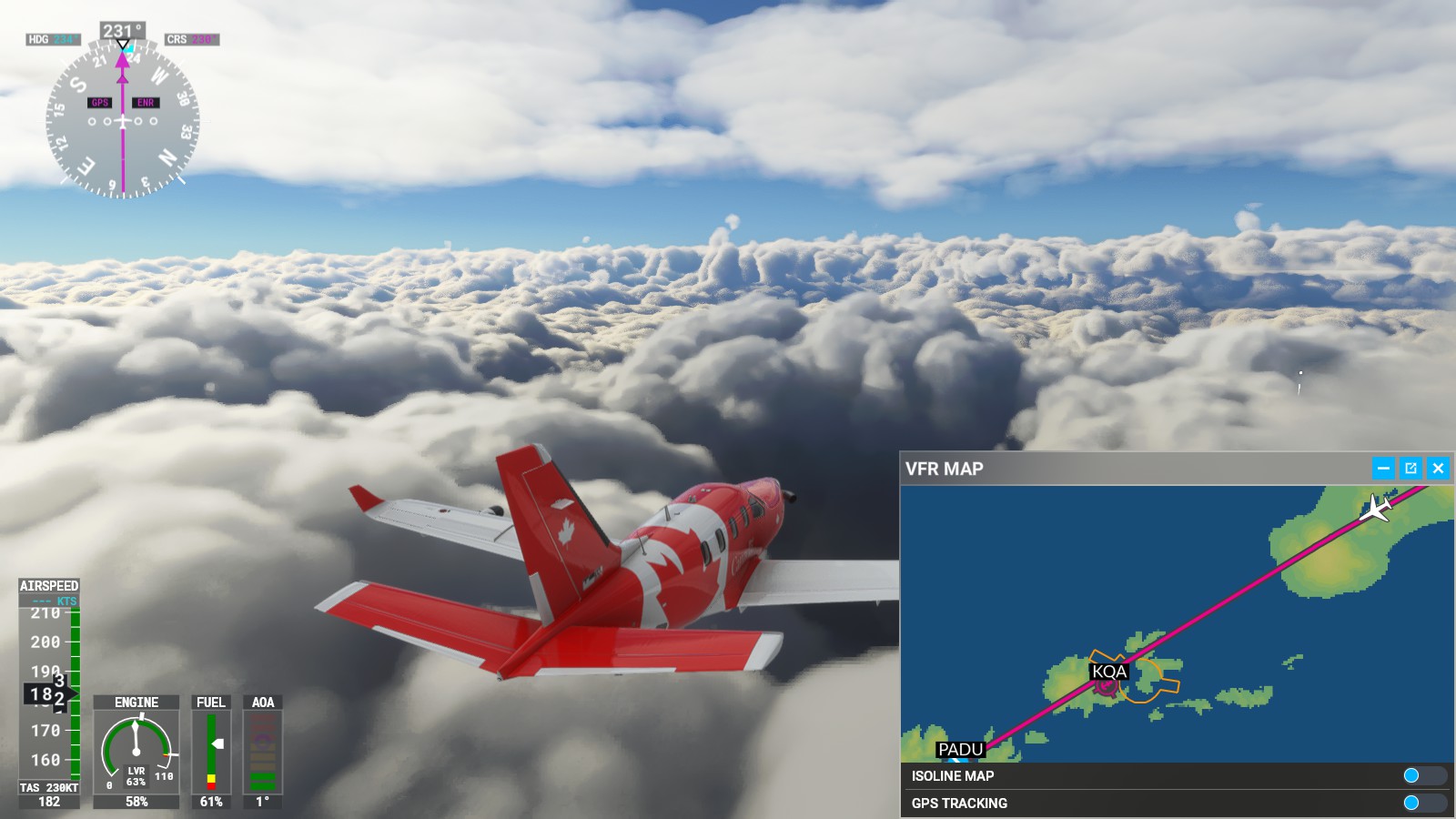
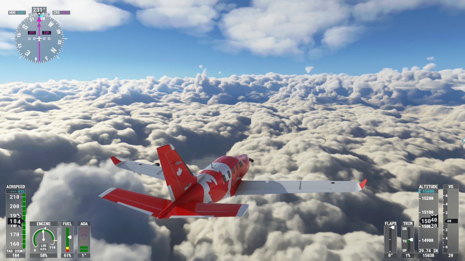
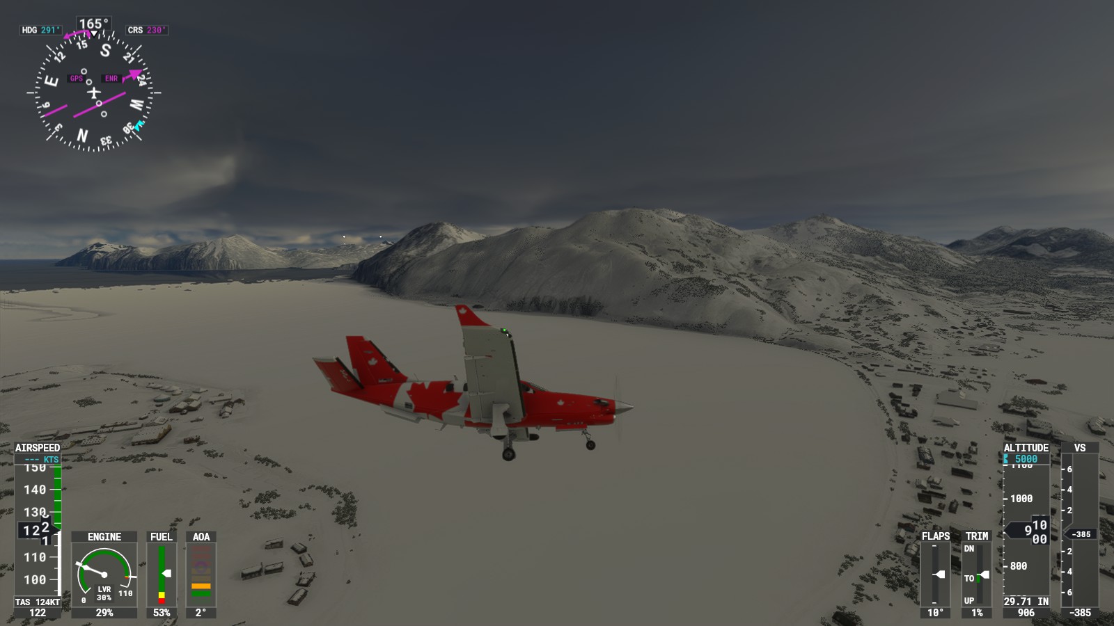
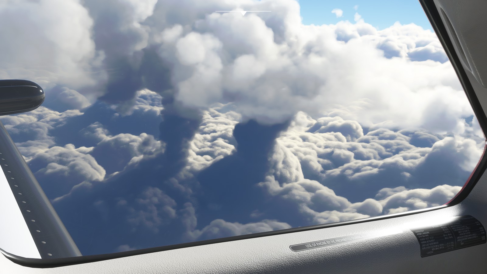
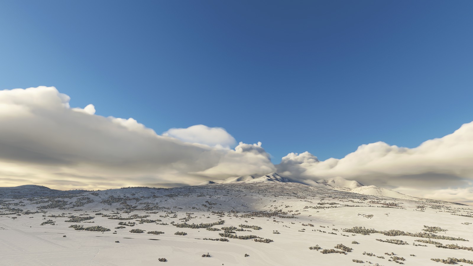
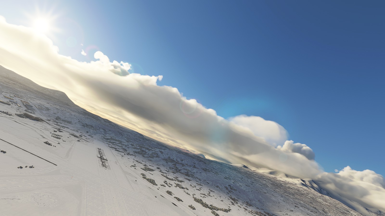
Leaving Anchorage, I desired to take a more scenic route in a loose flight plan. Just enjoying the scenery, flying through mountains, and just taking the scenery in. Friend “may” have been a bit impatient, I don’t blame him. Just simply desired to take a more “loose” flight path south.
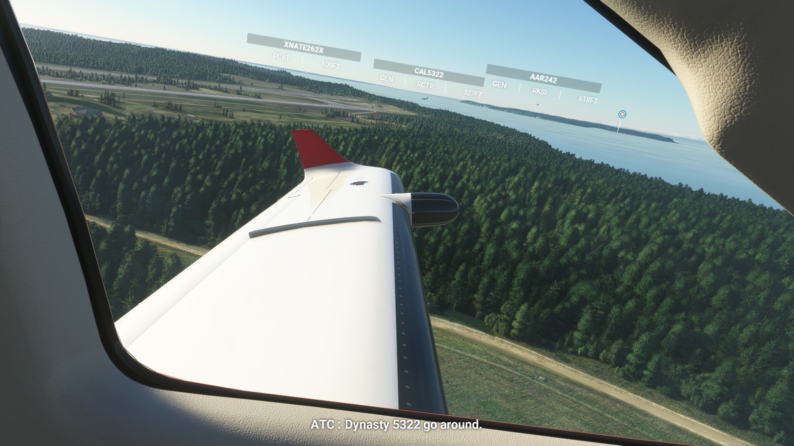
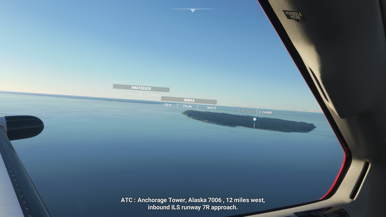
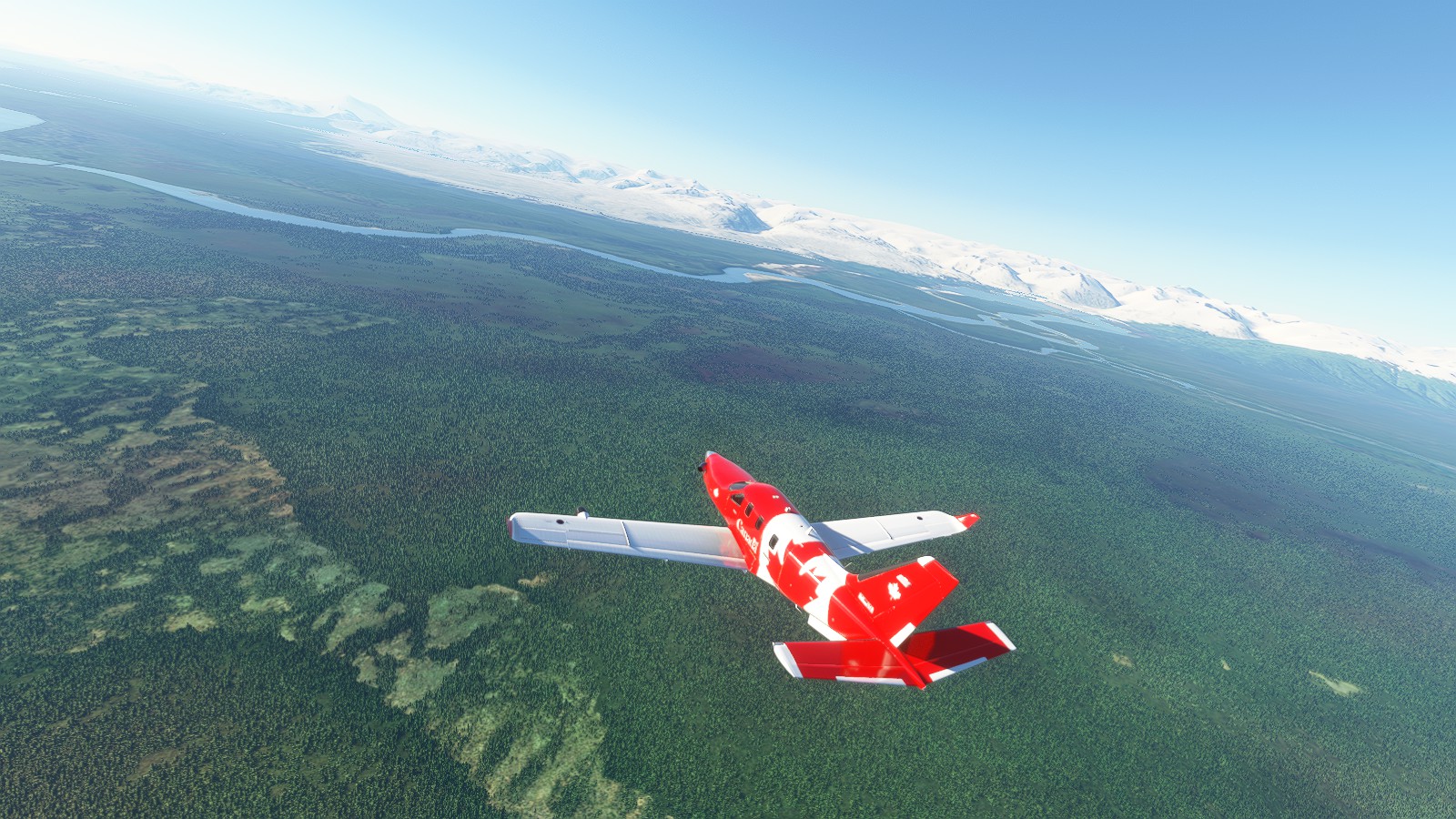
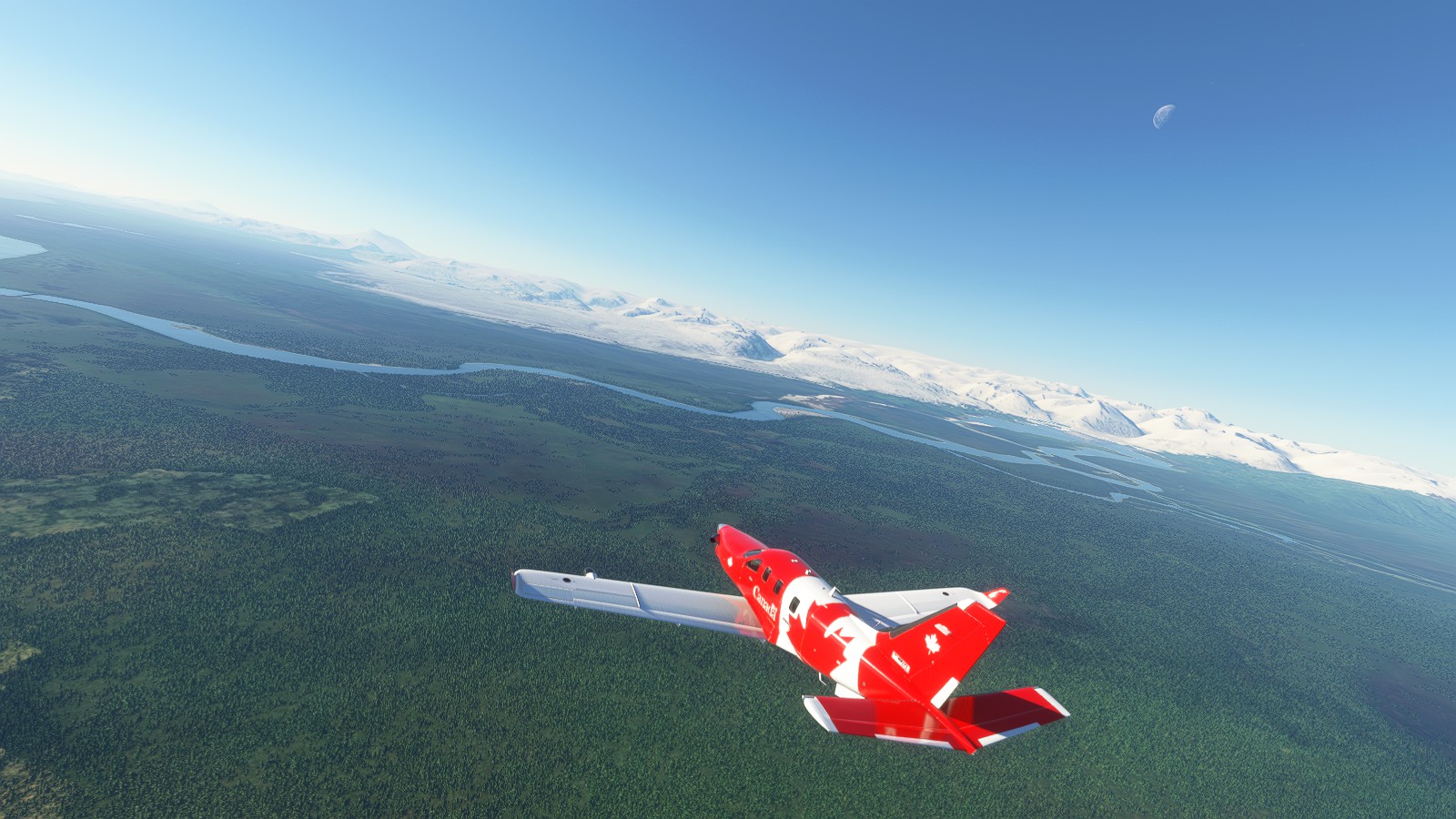
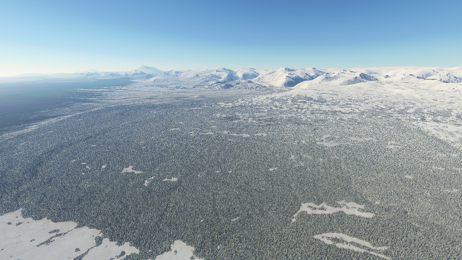
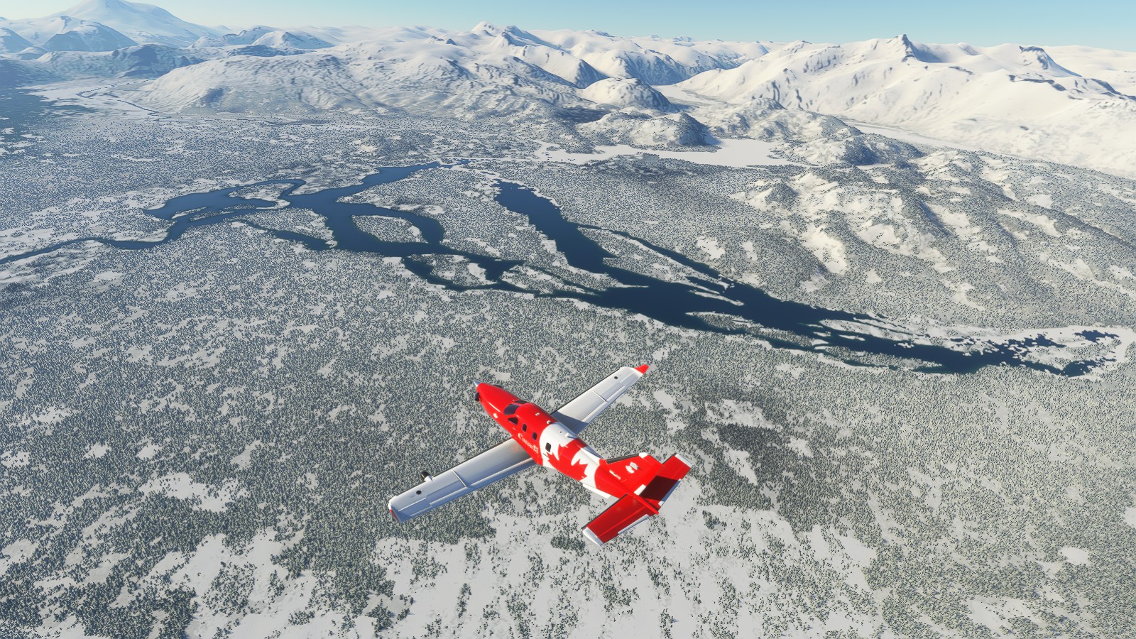
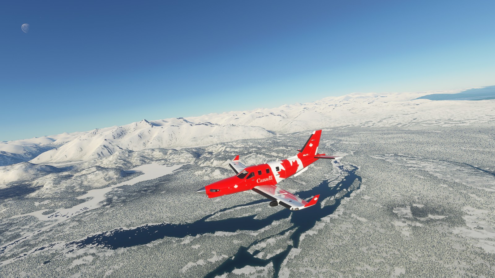
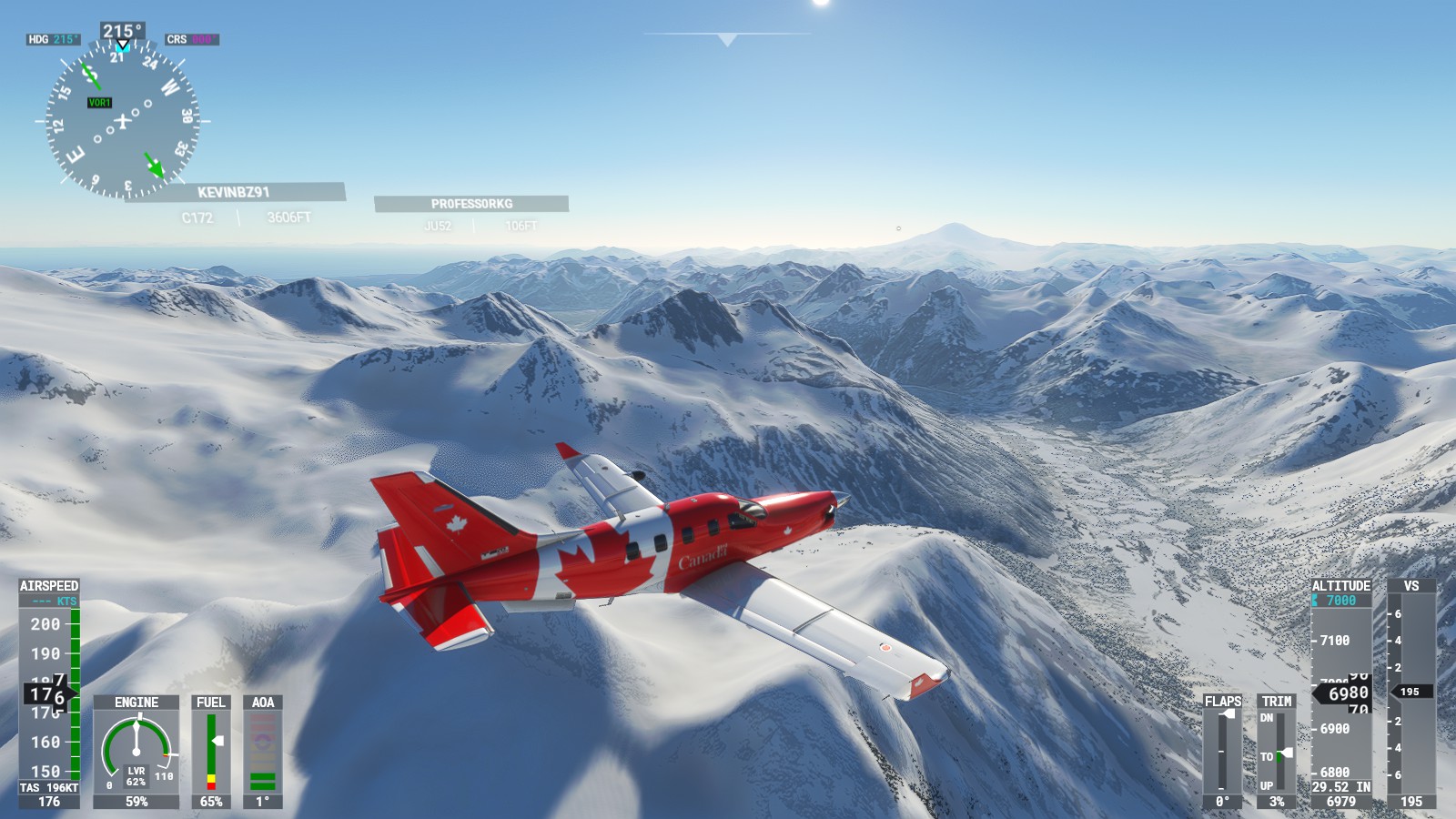
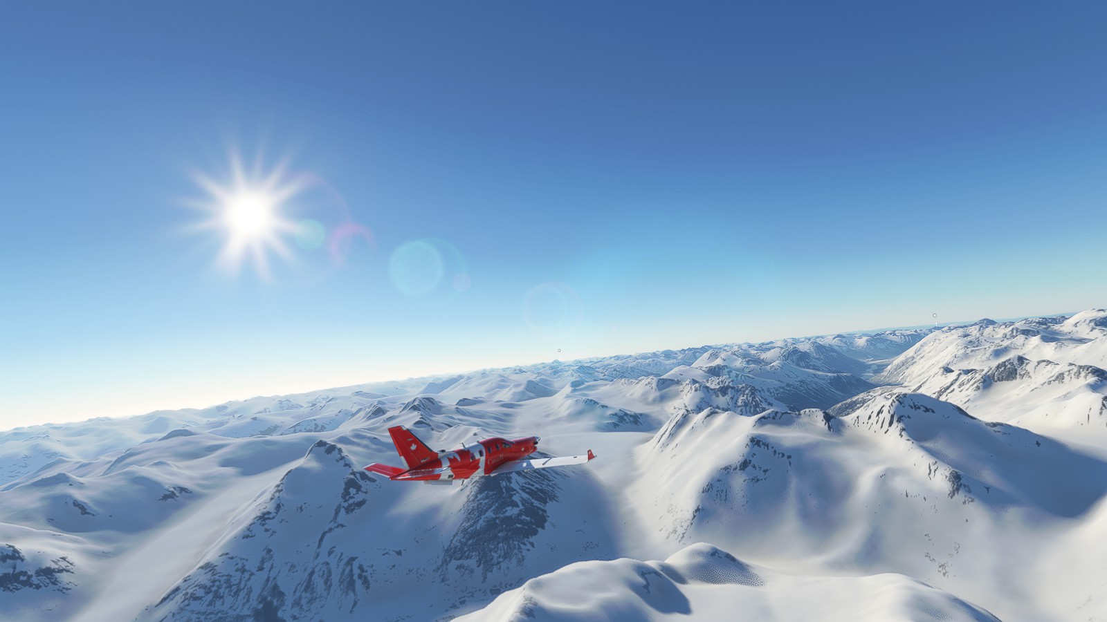
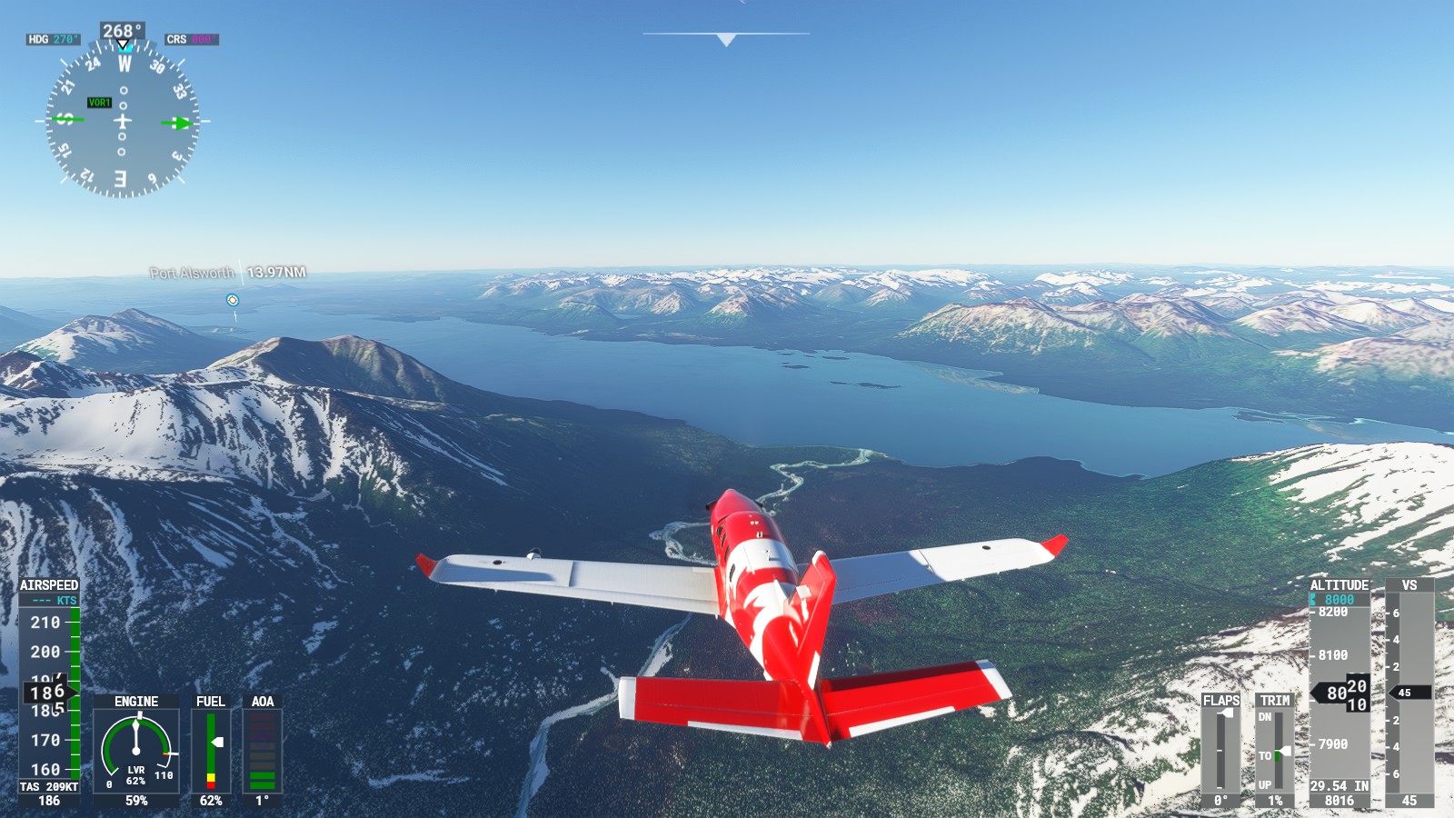
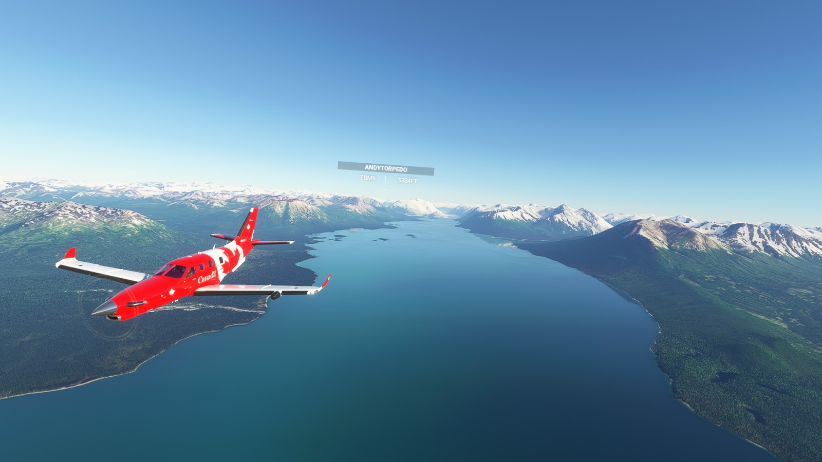
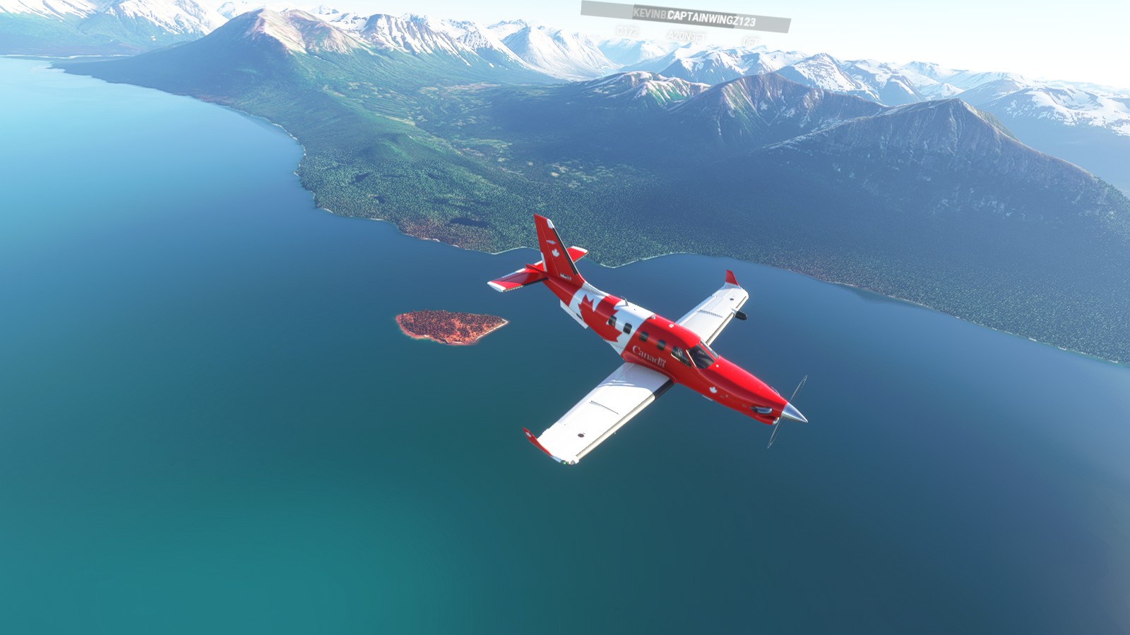
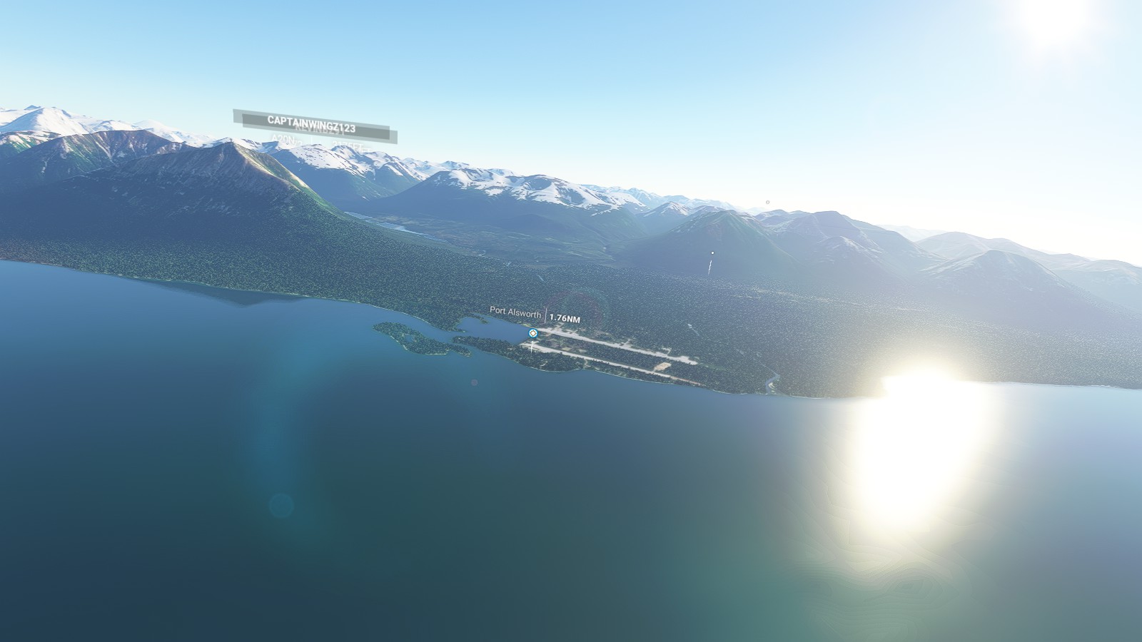
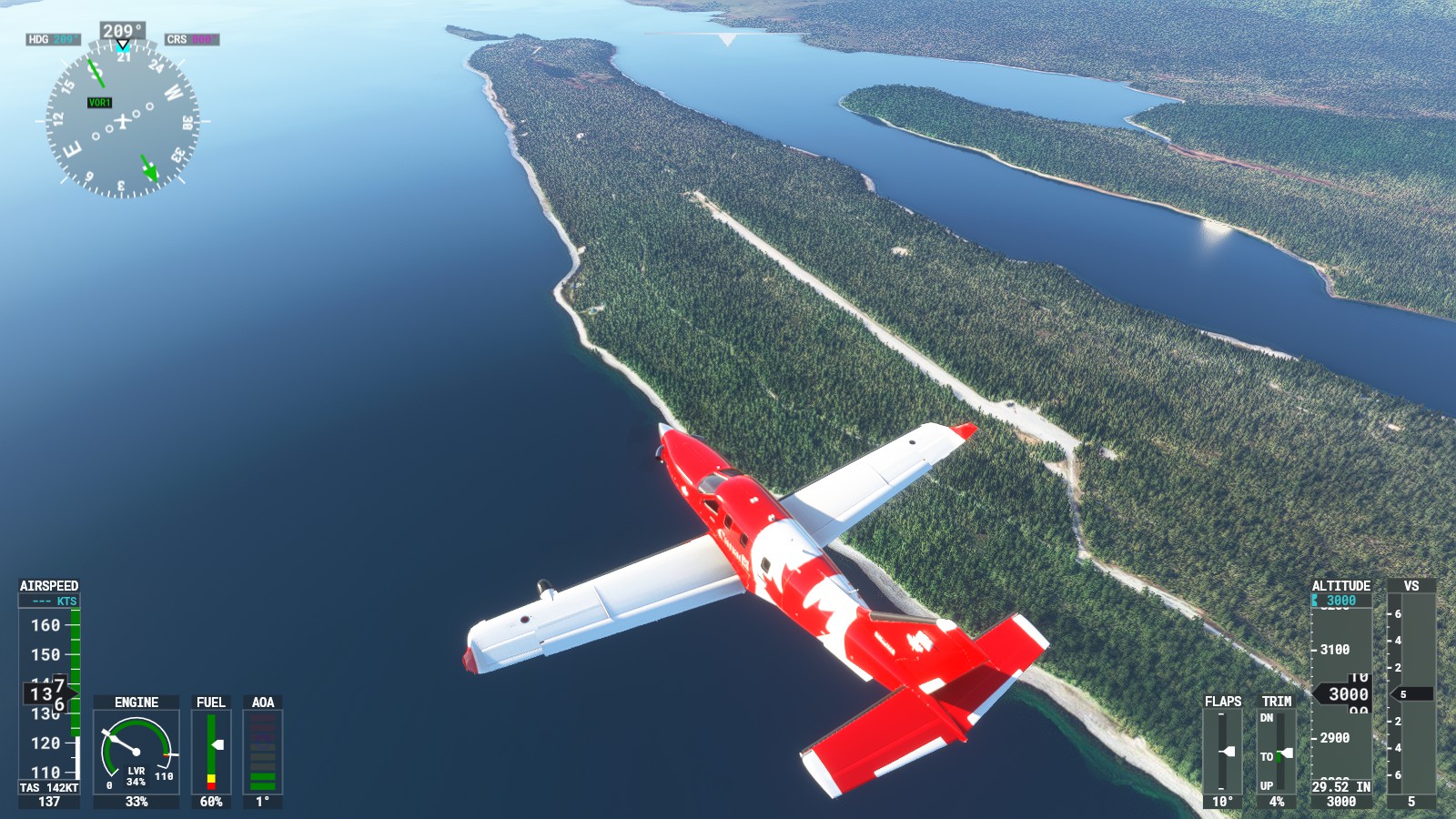
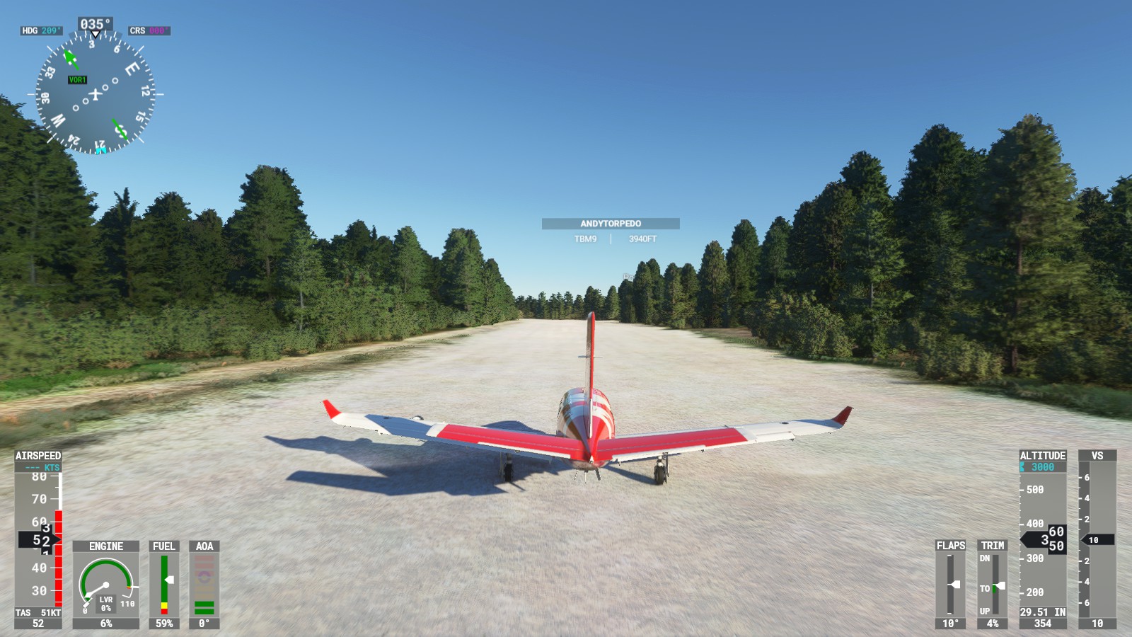
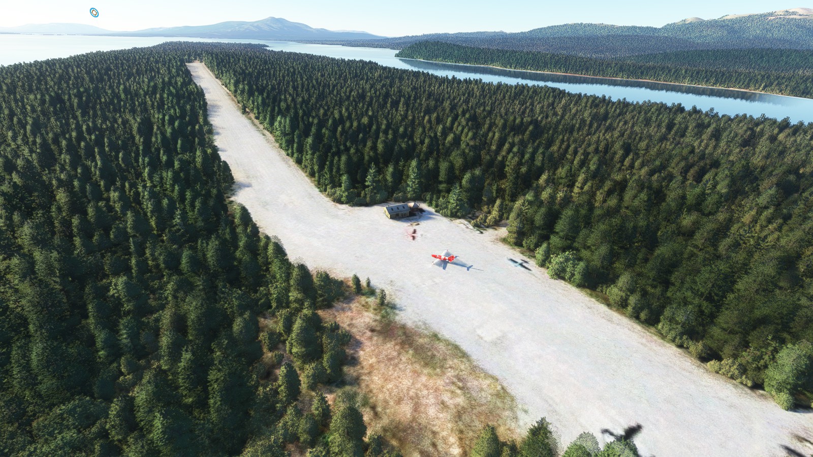
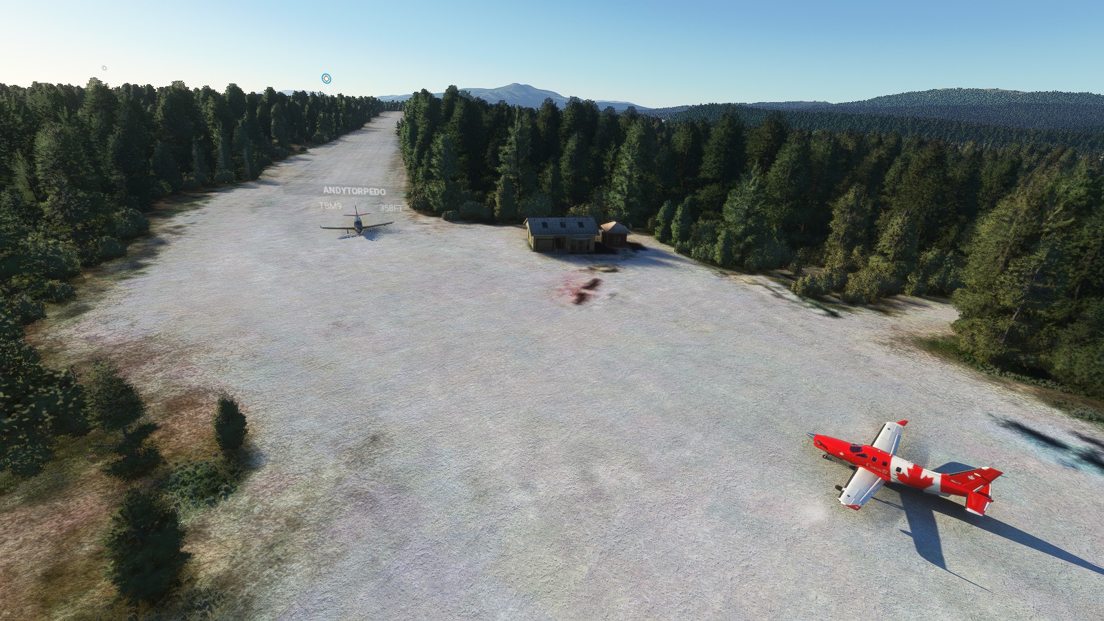
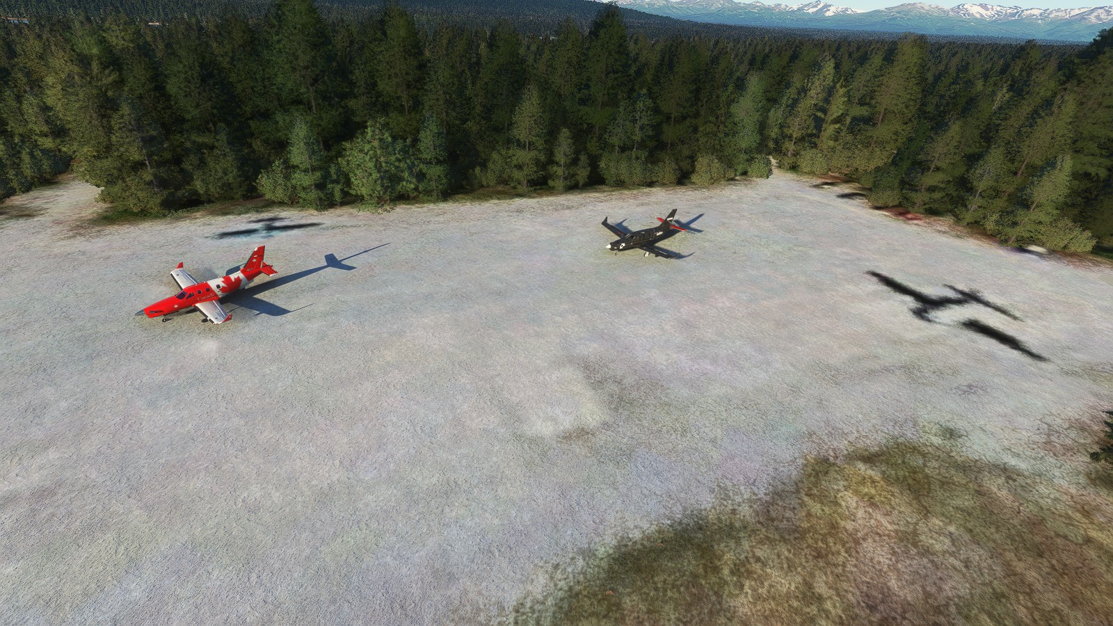
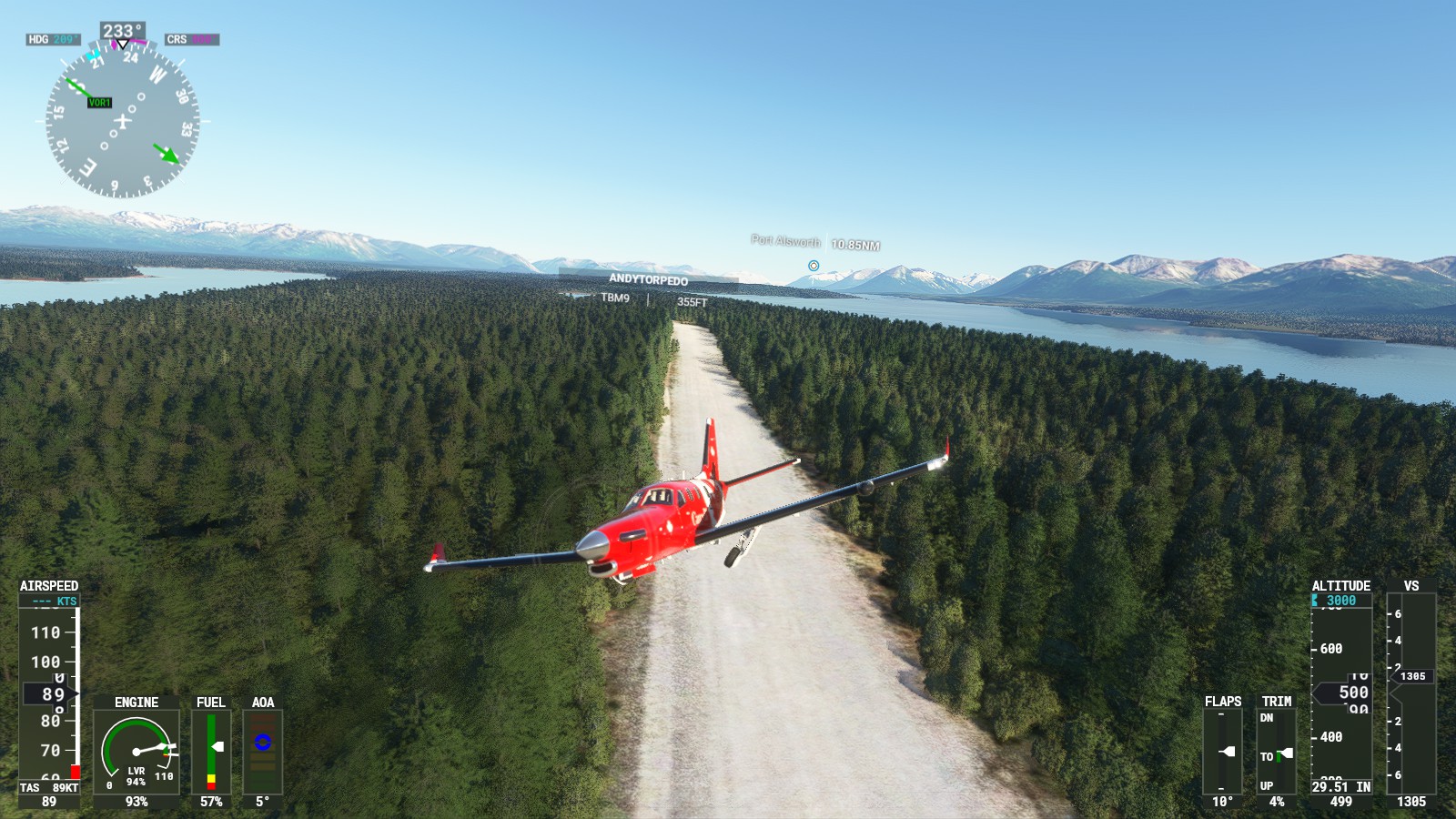
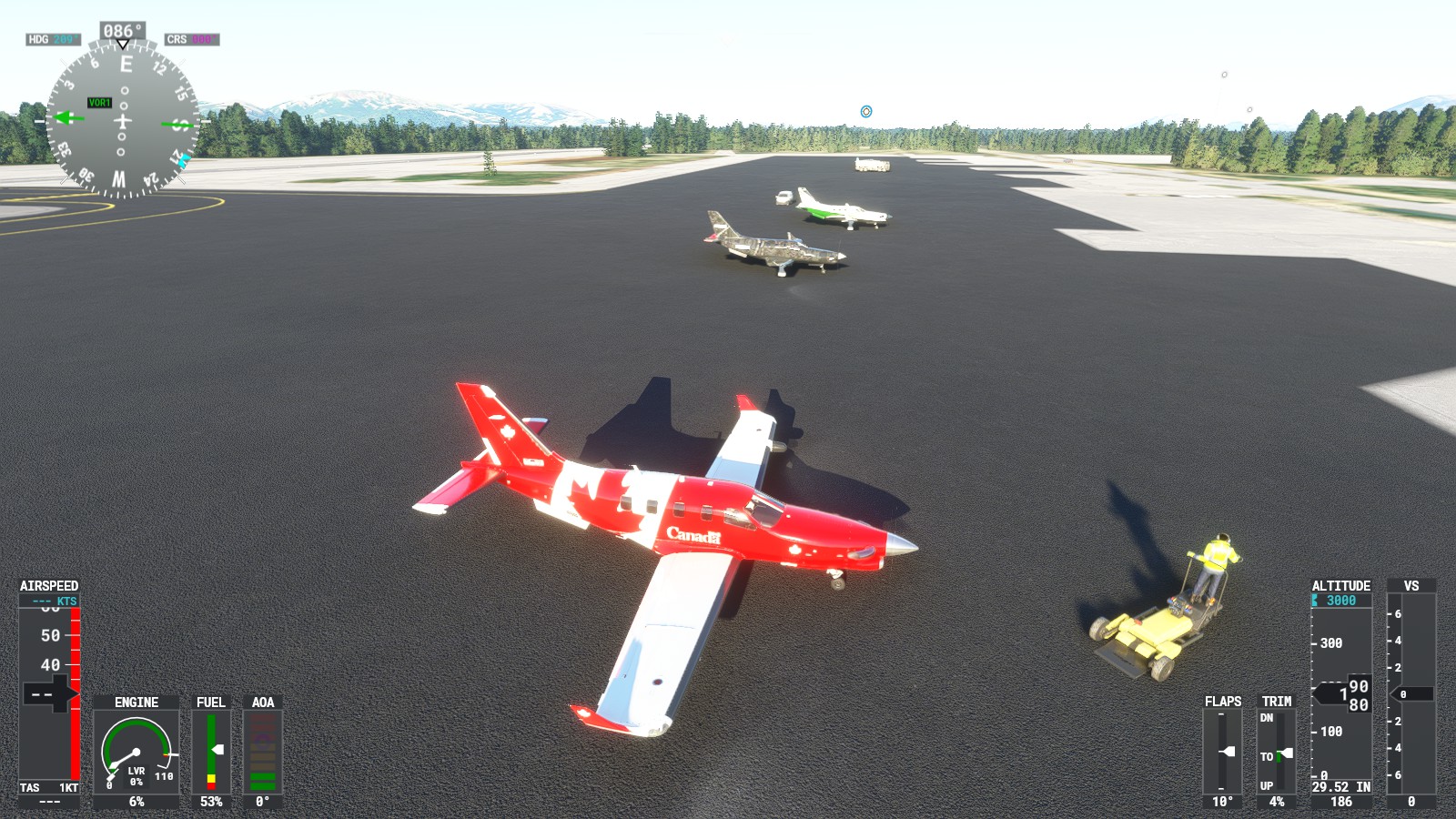
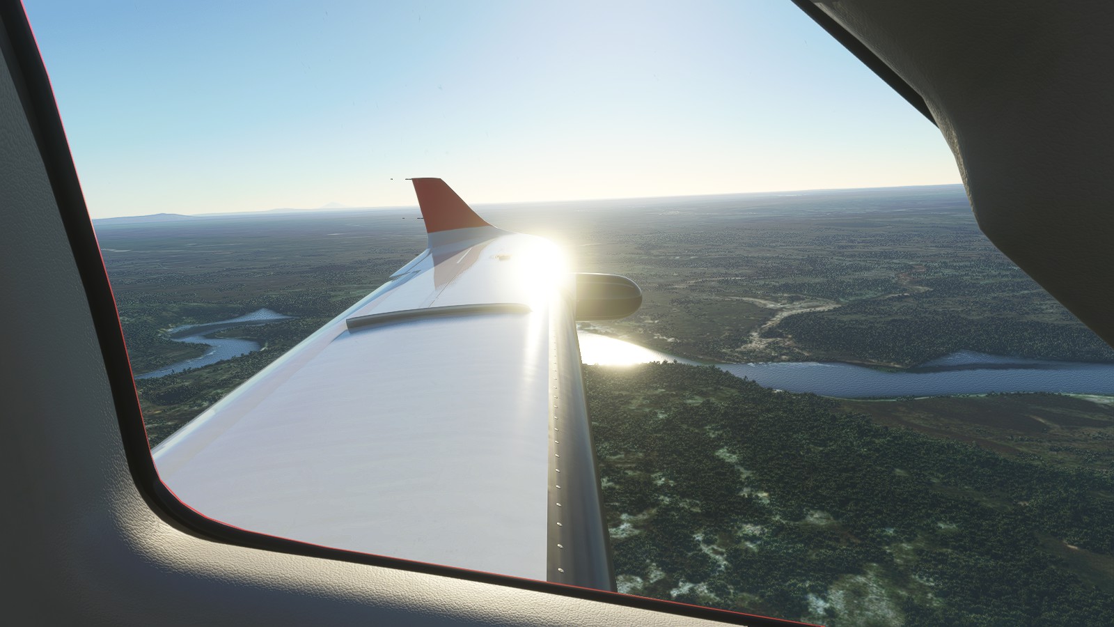
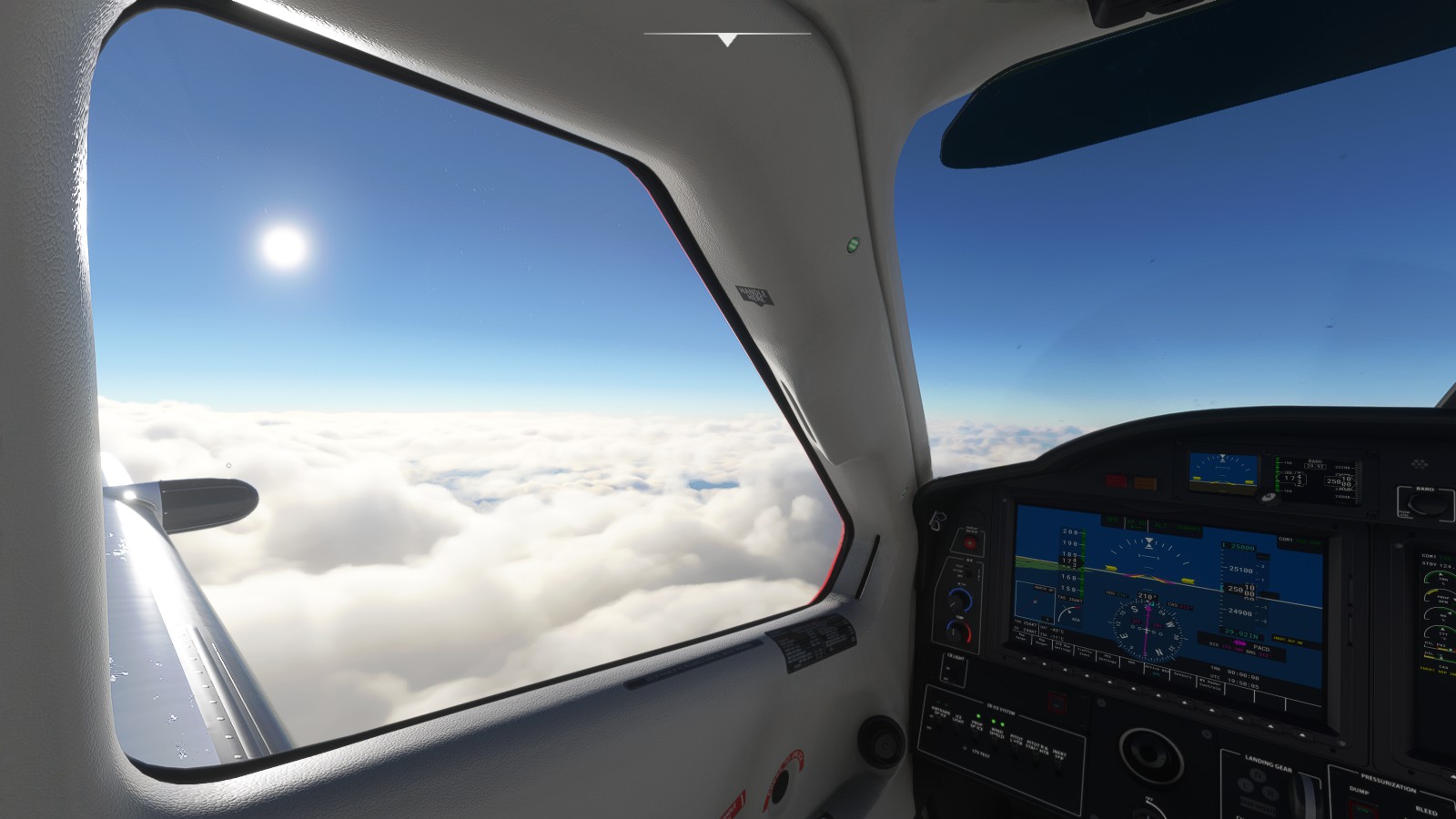
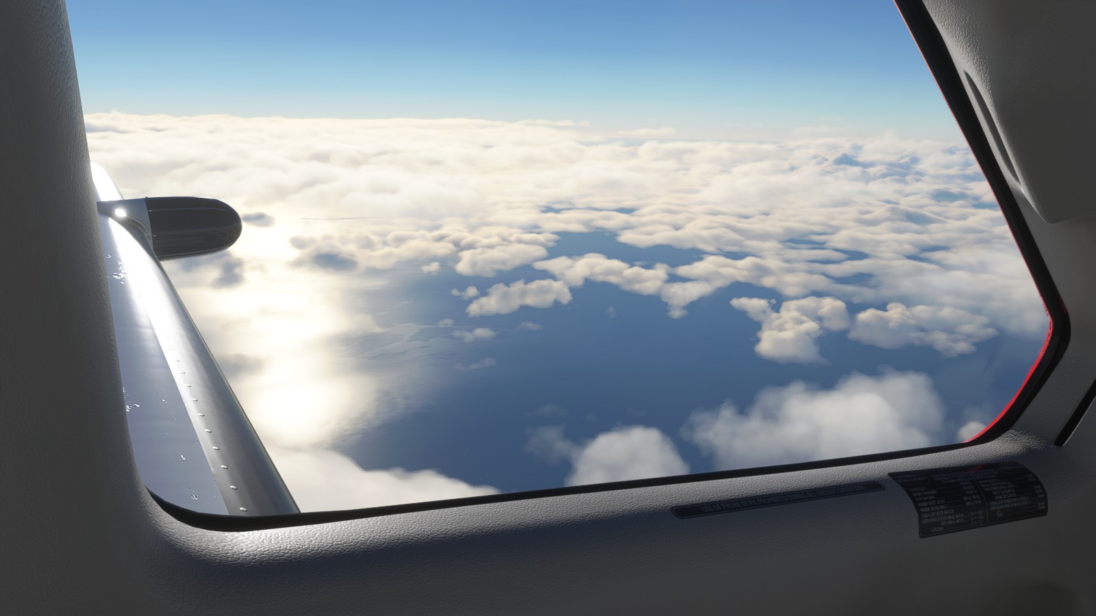
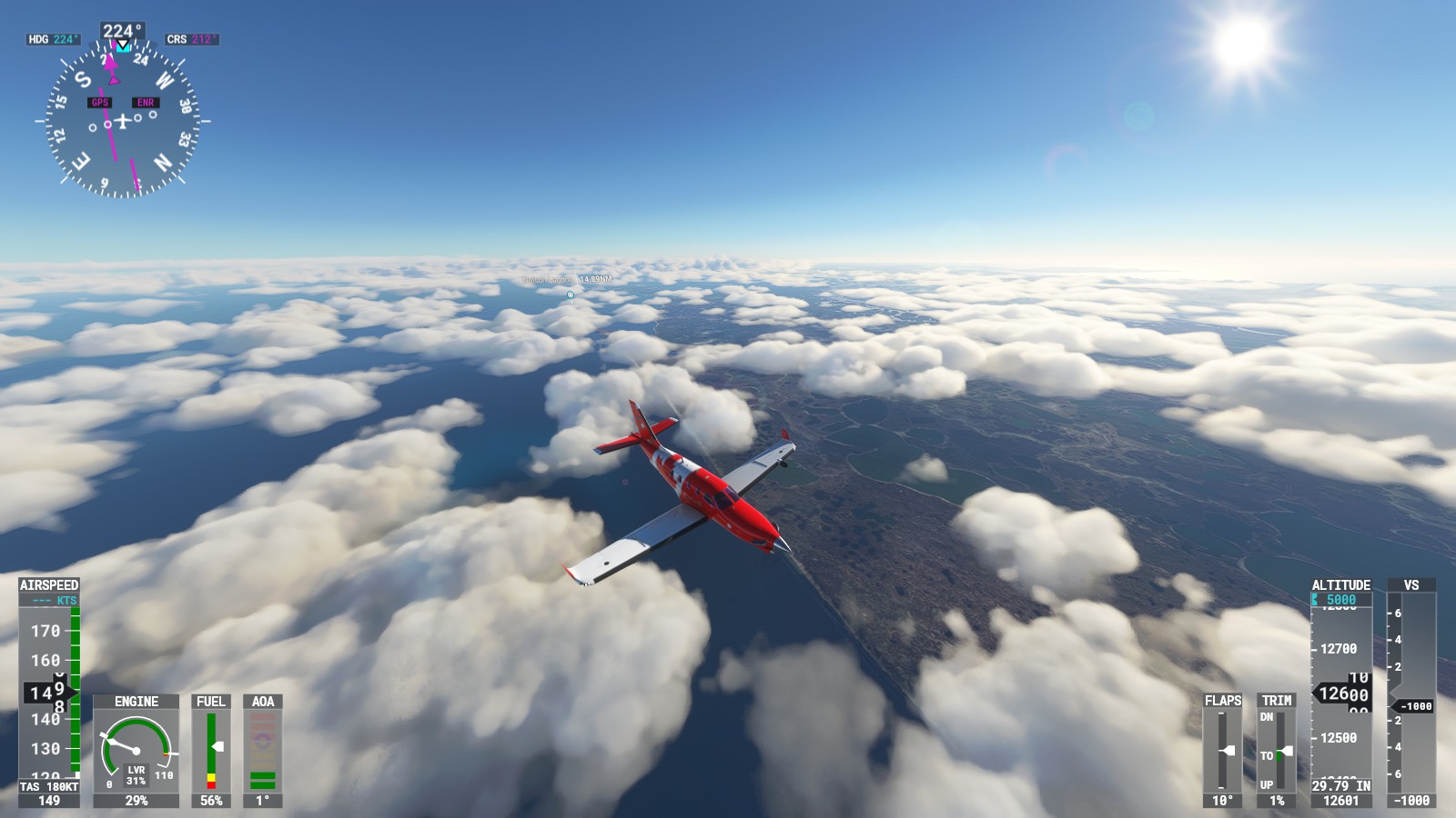
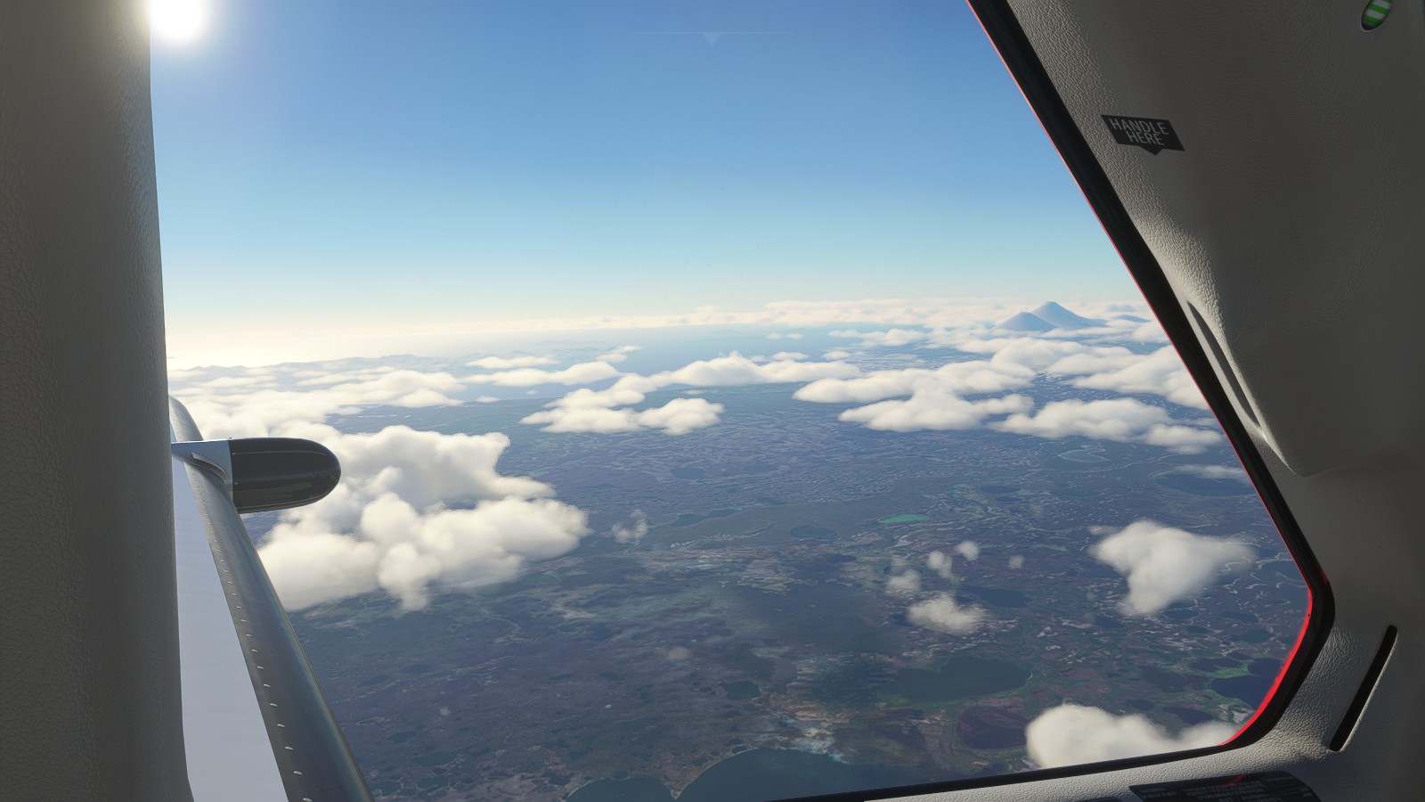
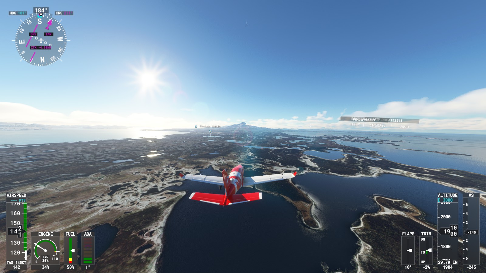
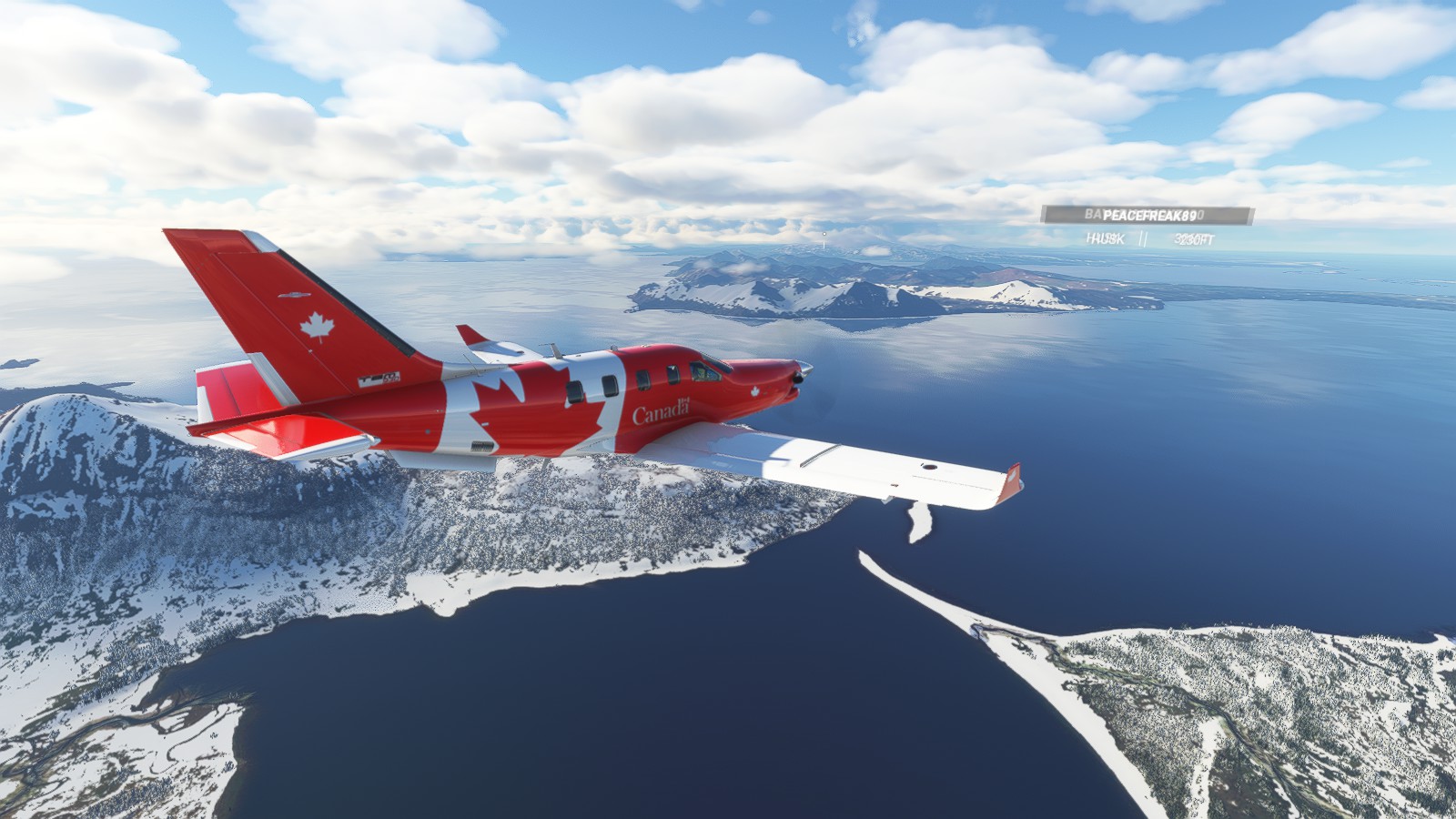
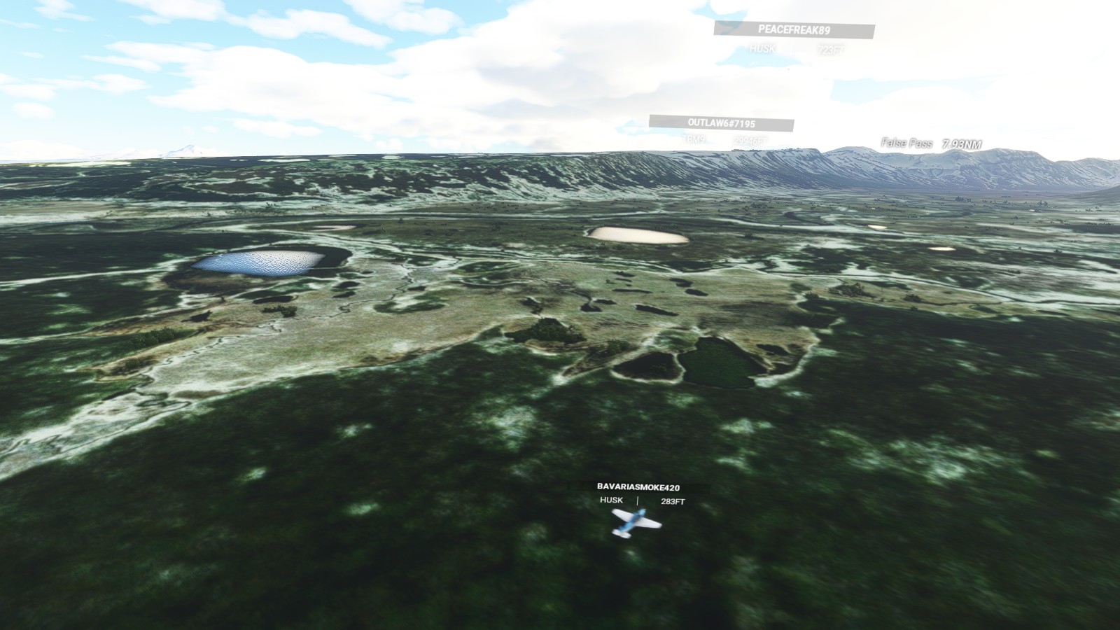
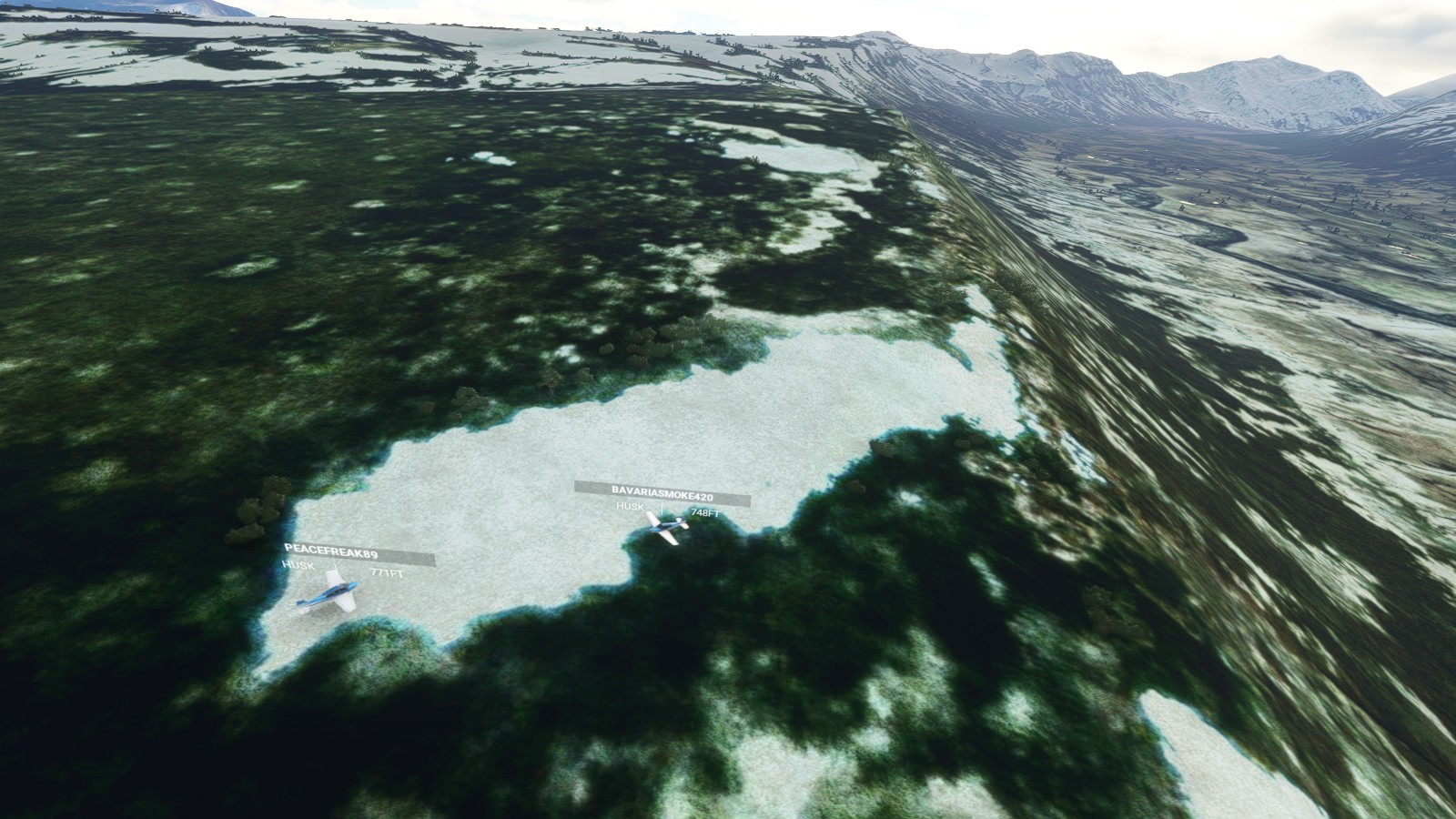
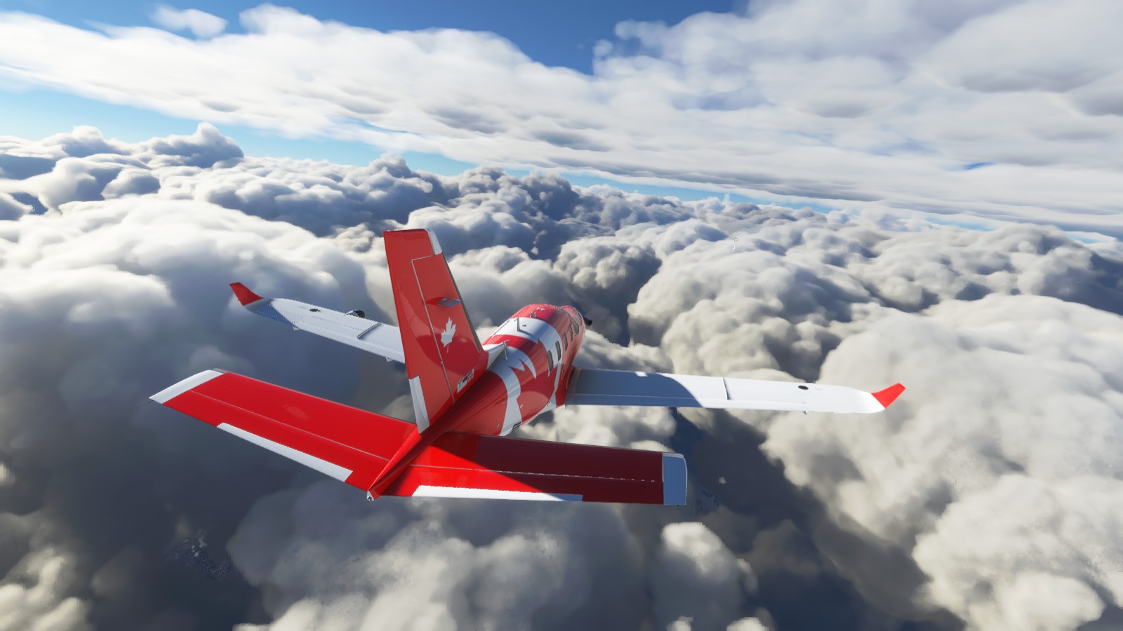
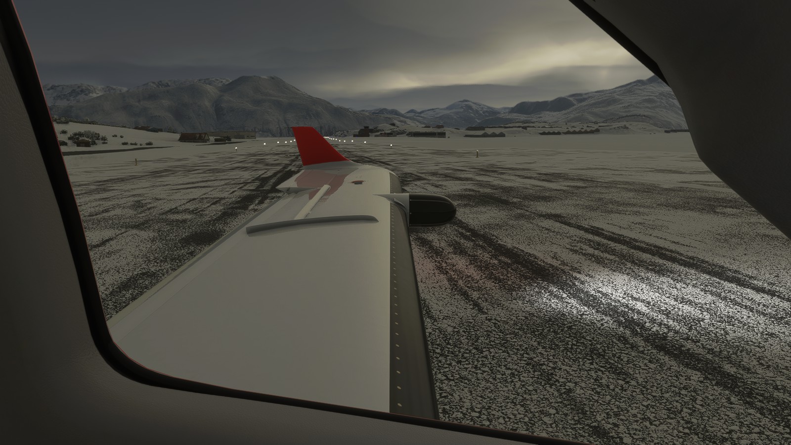
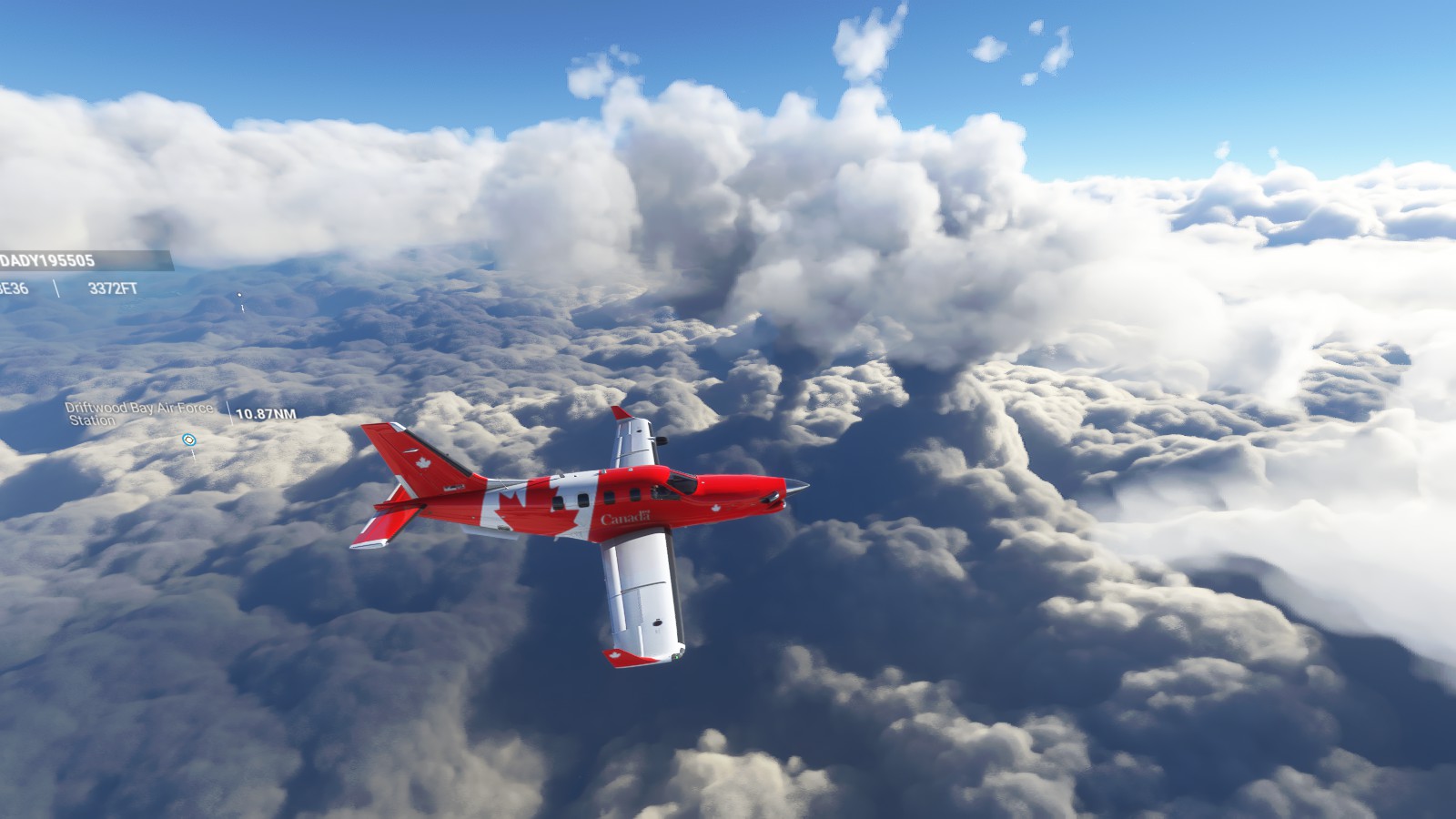
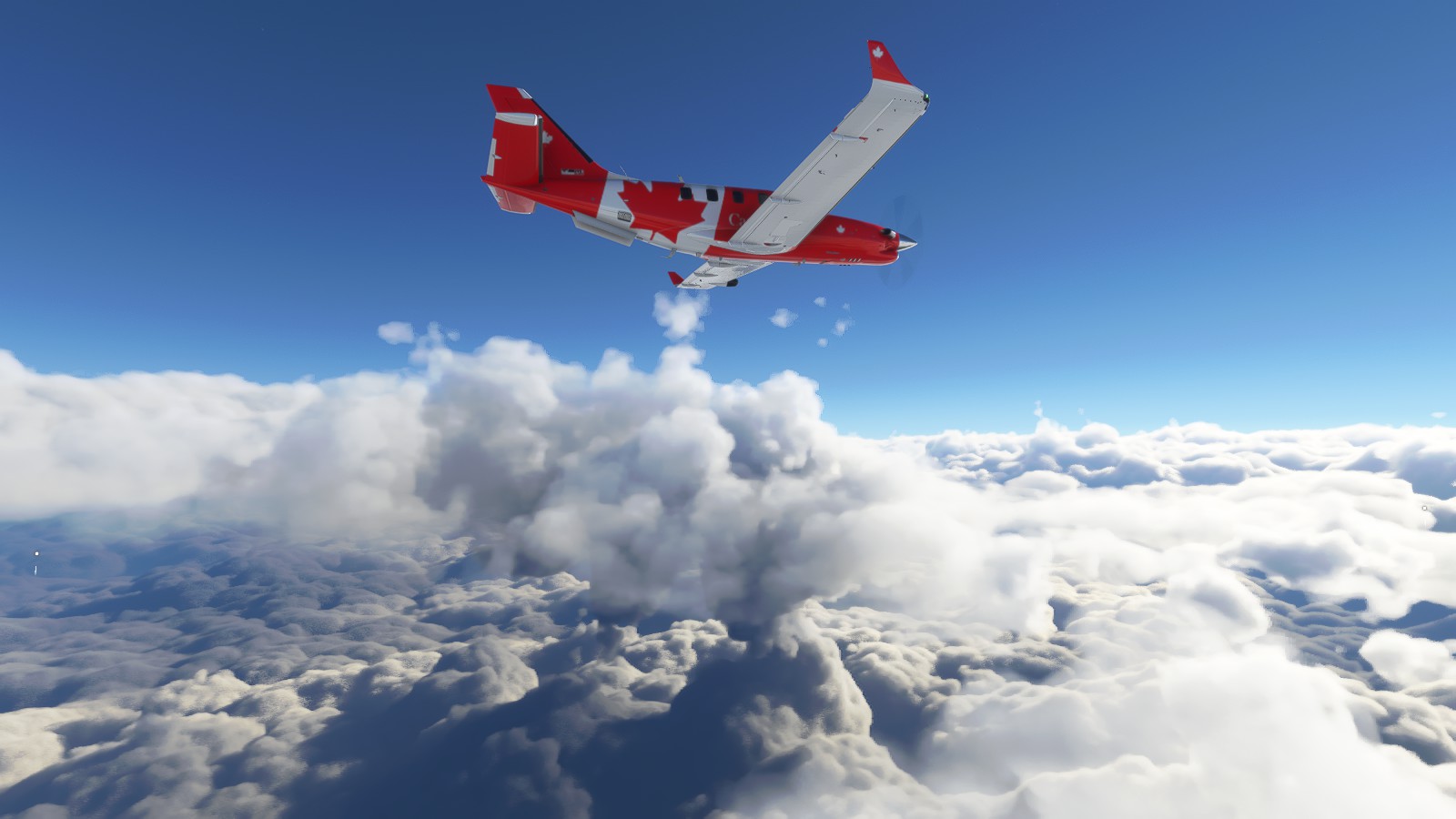
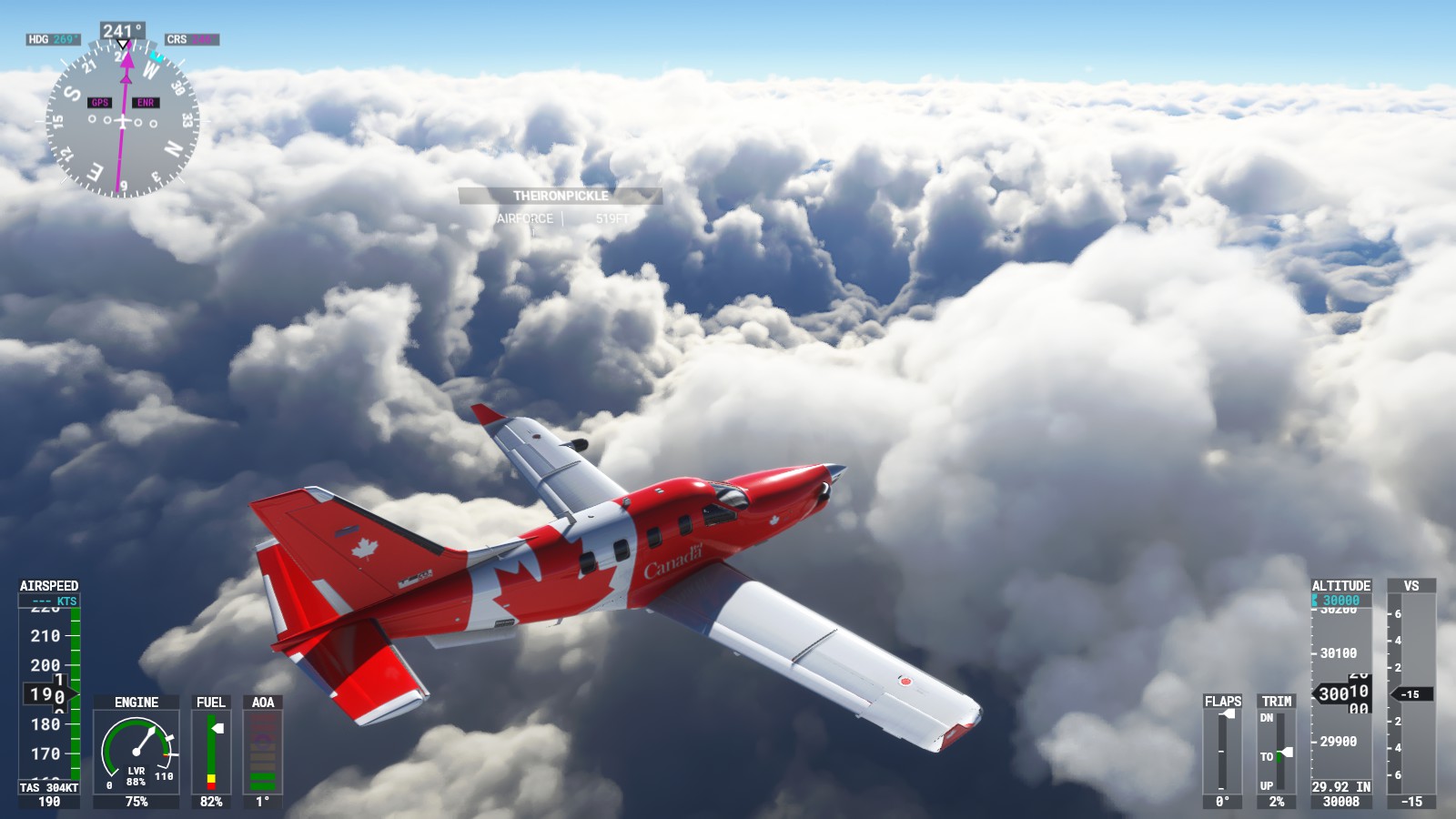
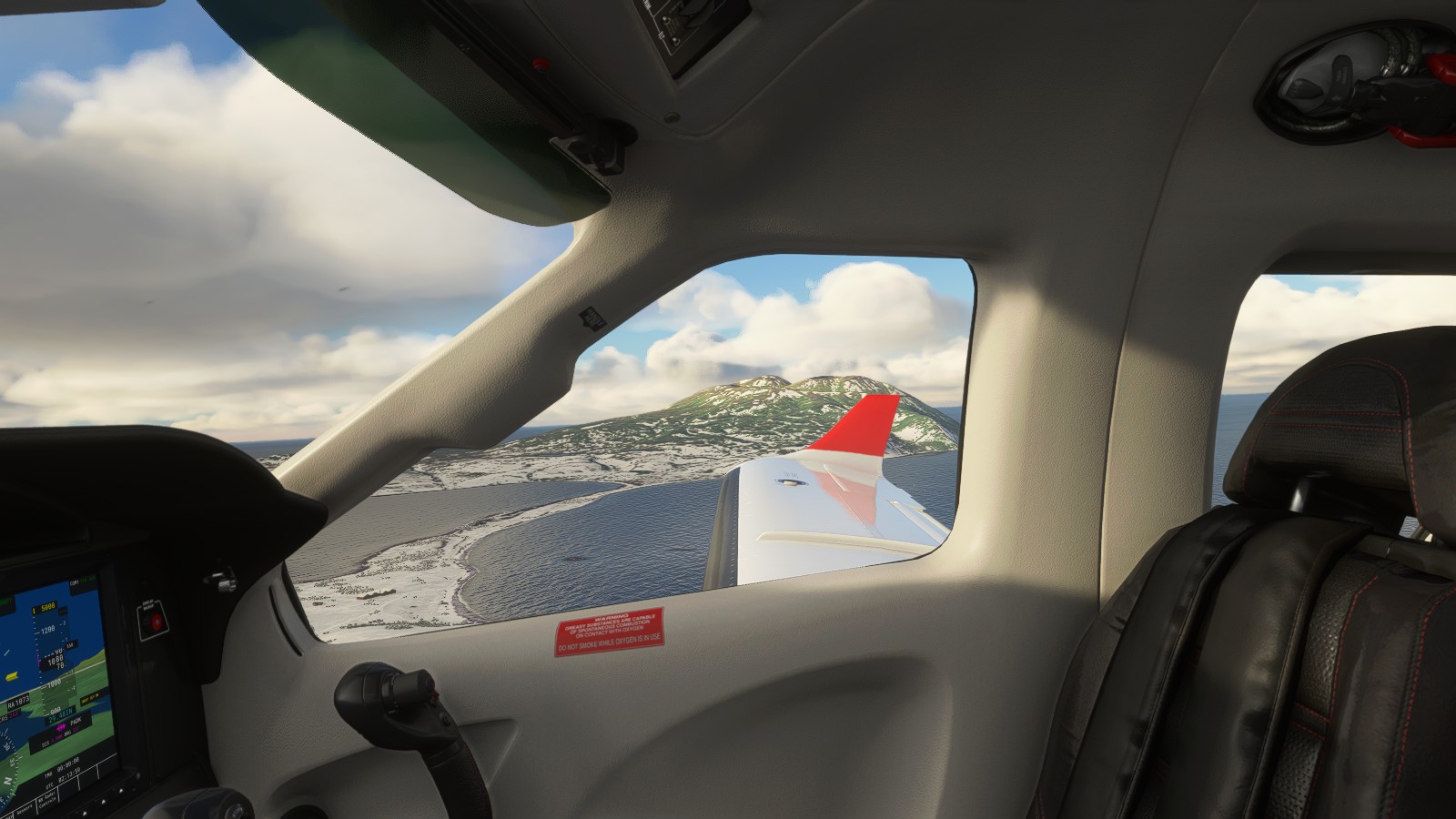
– Taking off as my friend indicates he’s lining up for take-off | Both players and real traffic taking off and landing.– Passing by Fire Island as more gen and players do their thing– Friend taking off as others “flood” the airport.– Keeping purposely low to admire the beauty.– Absolutely gorgeous. – Loving the mix of mountains, moon, grass/tree land, and the rivers.– Coming up to some snow-covered terrain.– The raw remote beauty.– Friend being a little impatient passing me by as we pass through some mountain ranges. He assumed we were following the coastline, which I don’t blame him.– Stunningly gorgeous.– From one dangerous charming area to the next. – Friend hanging around at the back.– Random red island. Was curious.– Port Alsworth. Looking lovely. I wanted to land here desiring to venture further ahead to an alternate airport.– Friend decided to do a touch-and-go.– Curious, I decided to investigate further. Not registered on Google Maps I decided to simply land here as a fun challenge.– Friend, surprised, also decided to tackle this challenge.– Amused, we decided to chill here for a few minutes before taking off again.– Various planes can be seen painted onto the parking area.– And we have take-off!– Looping around to see my friend taking off.
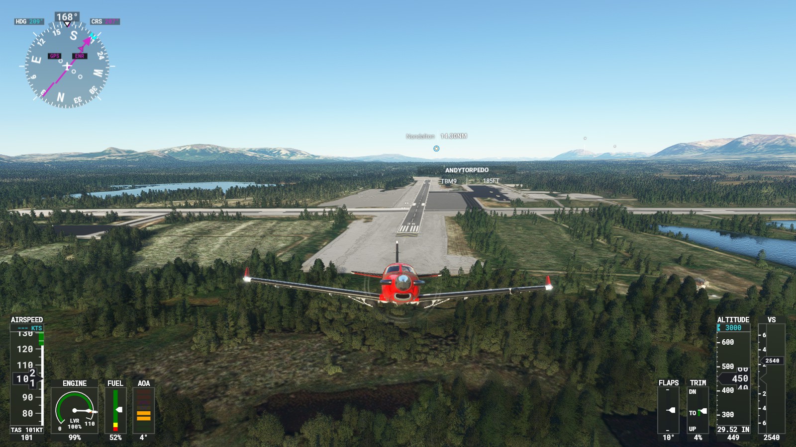
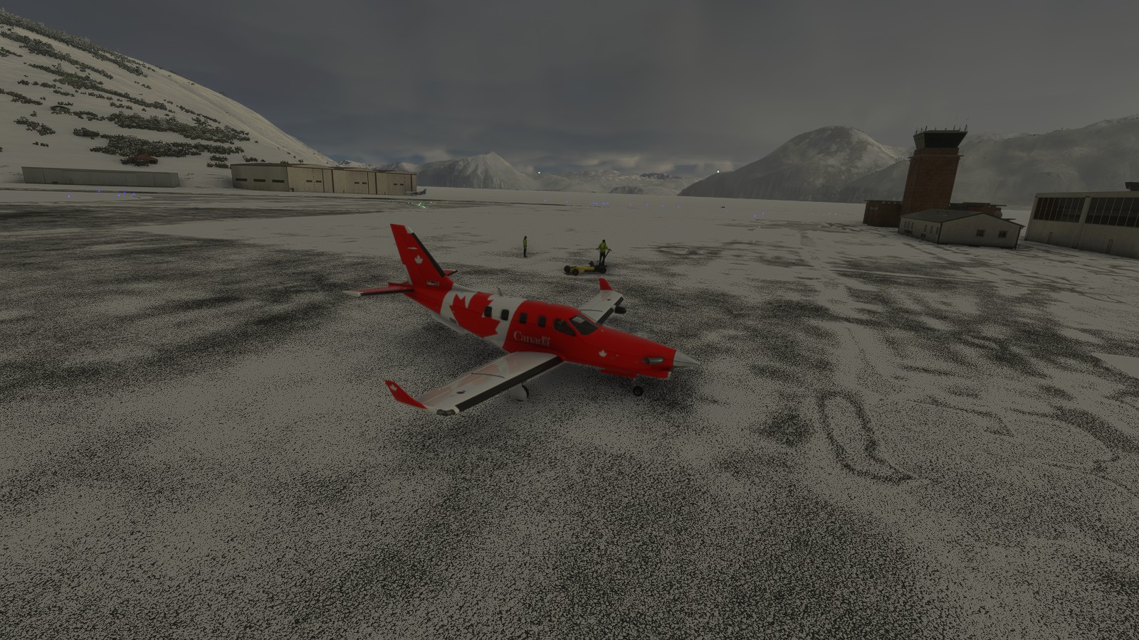
Considered doing a landing at a nearby airport to instead land at a slightly further one. This one felt weird seeing how weirdly design this airport is. Landed at ‘Ted Stevens Anchorage International Airport (PAIL)’.
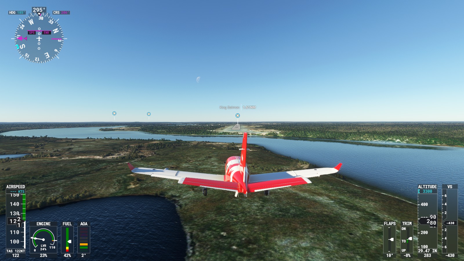
Ted Stevens Anchorage International Airport (PAIL) > King Salmon (PAKN):
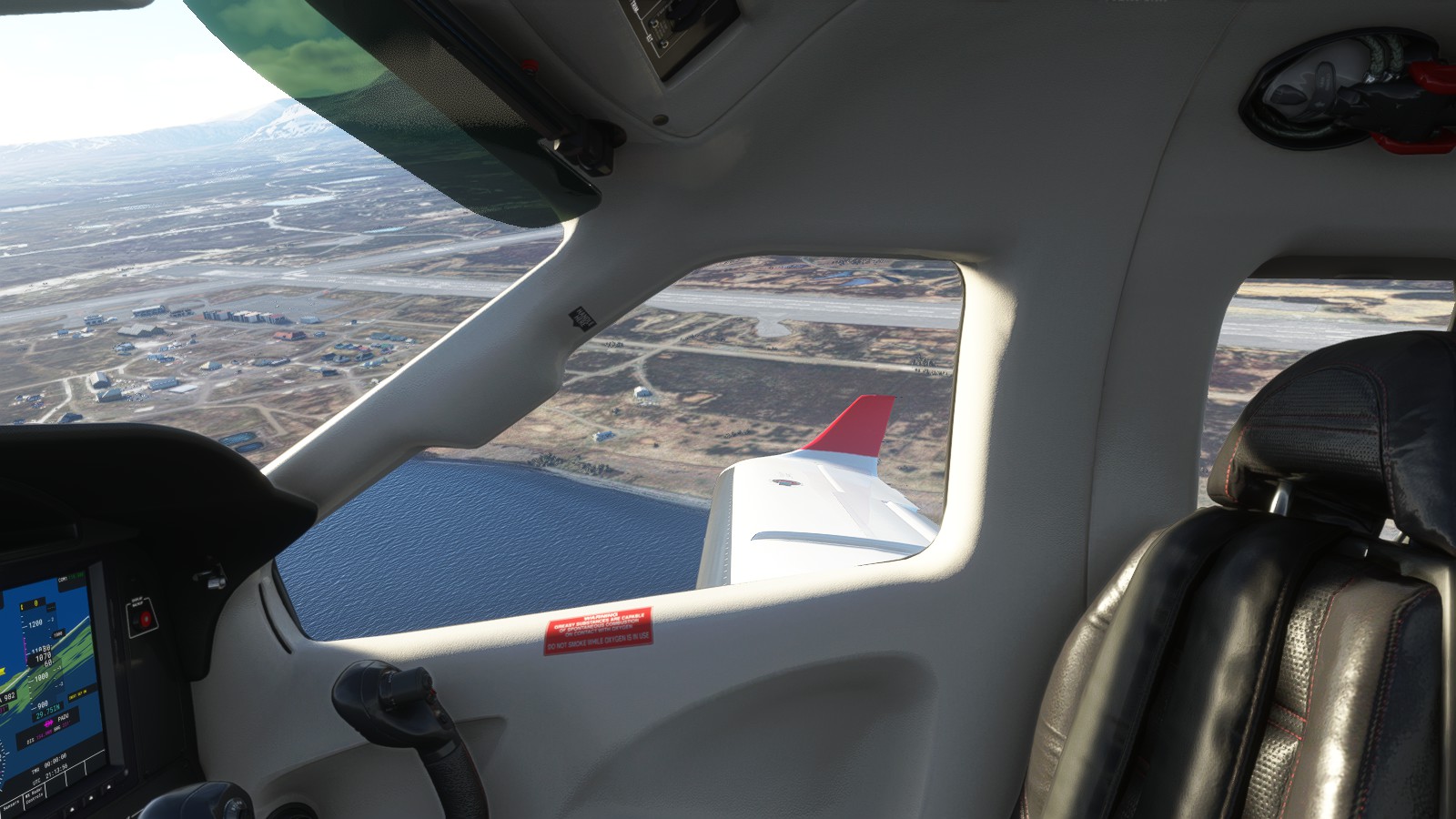
At the moment of flying Ted Stevens Anchorage INTL came off as “weird”. Felt like one of those beginner-made airport add-ons with how wide everything is. What’s supposed to be grass is pavement. Yeah. In hindsight it actually appears interesting; Great for meet-ups, hangouts, etc.
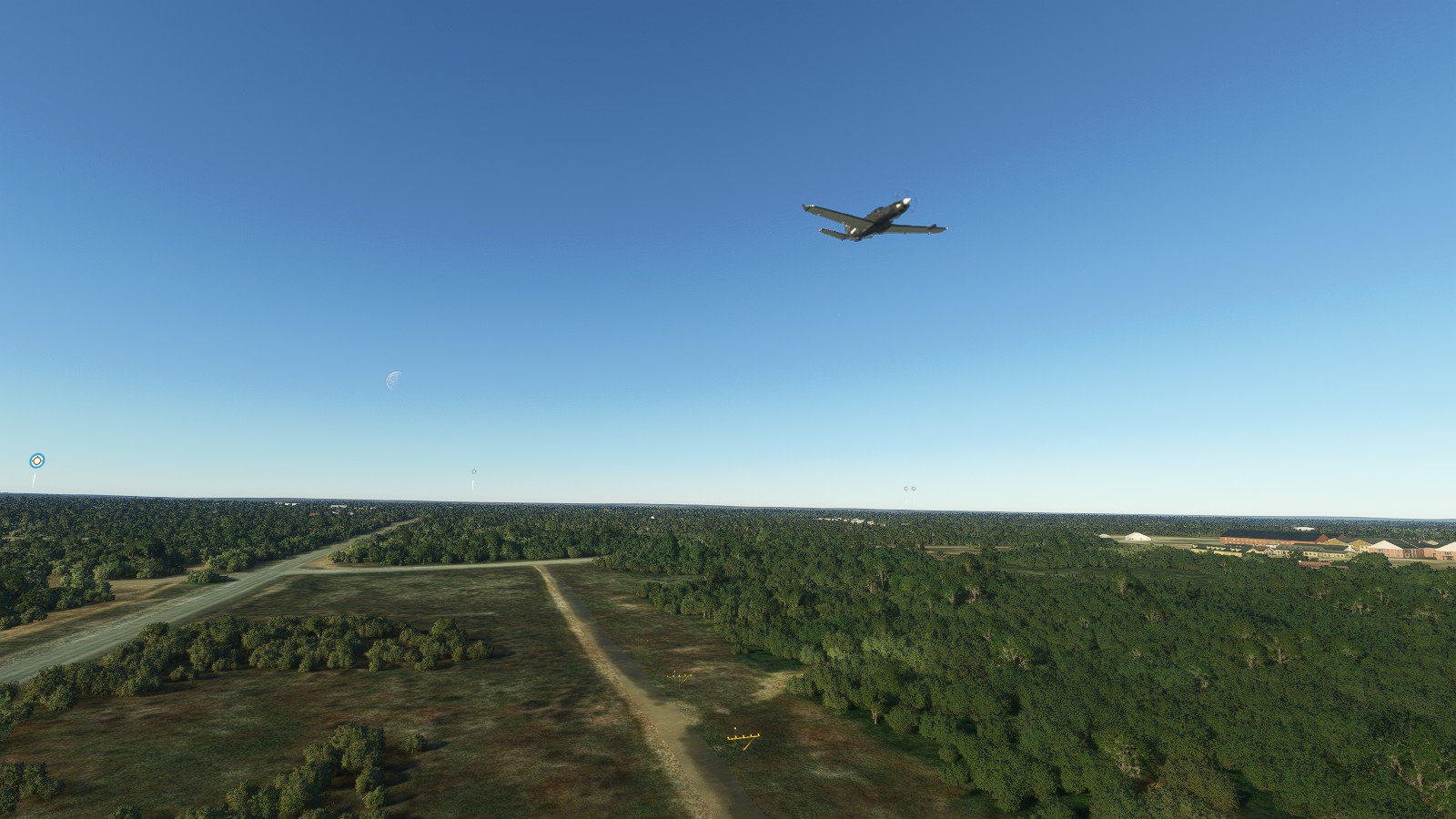
– Take off!– Friend flying higher, faster, and further.– Landing views always tend to be my favourite.– A little low, though still lined up for landing. I land manually.– Friend finally coming in for a guided landing.– Landed, we decided to chill her for awhile until my friend got bored and hopped off. – Friend had a van up on him while I also allegedly had one myself.
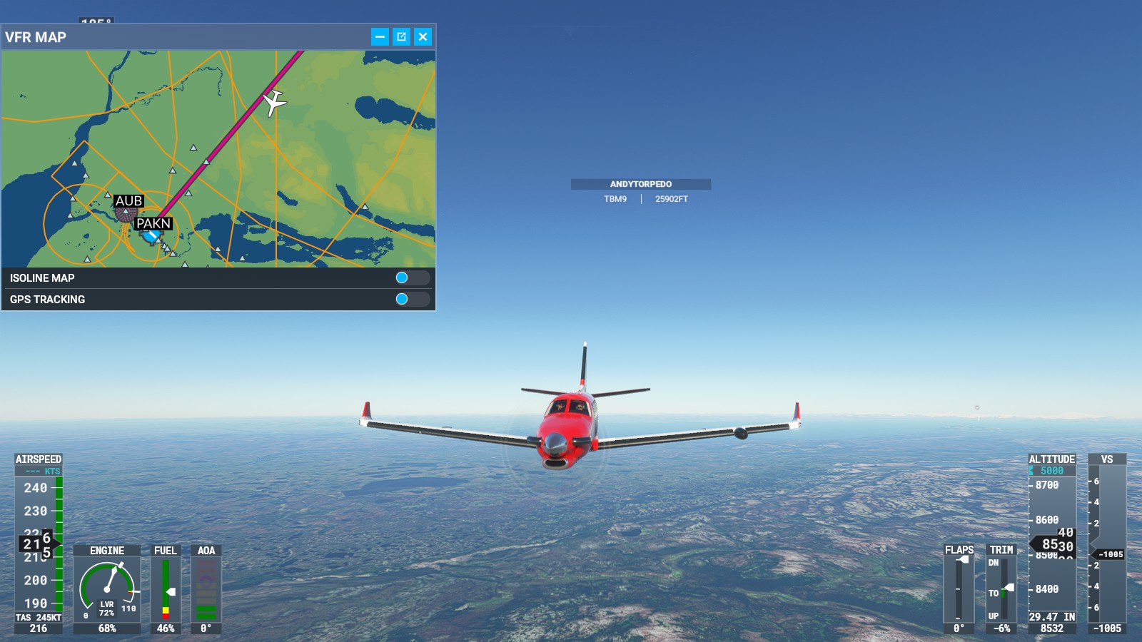
King Salmon (PAKN) -> Cold Bay (PACD):
Few days later I decided to fly some more, this time heading to ‘Cold Bay’. Doing small managable hops as to not completely bore myself. Fuel was also a big factor, even if I could turn it off.
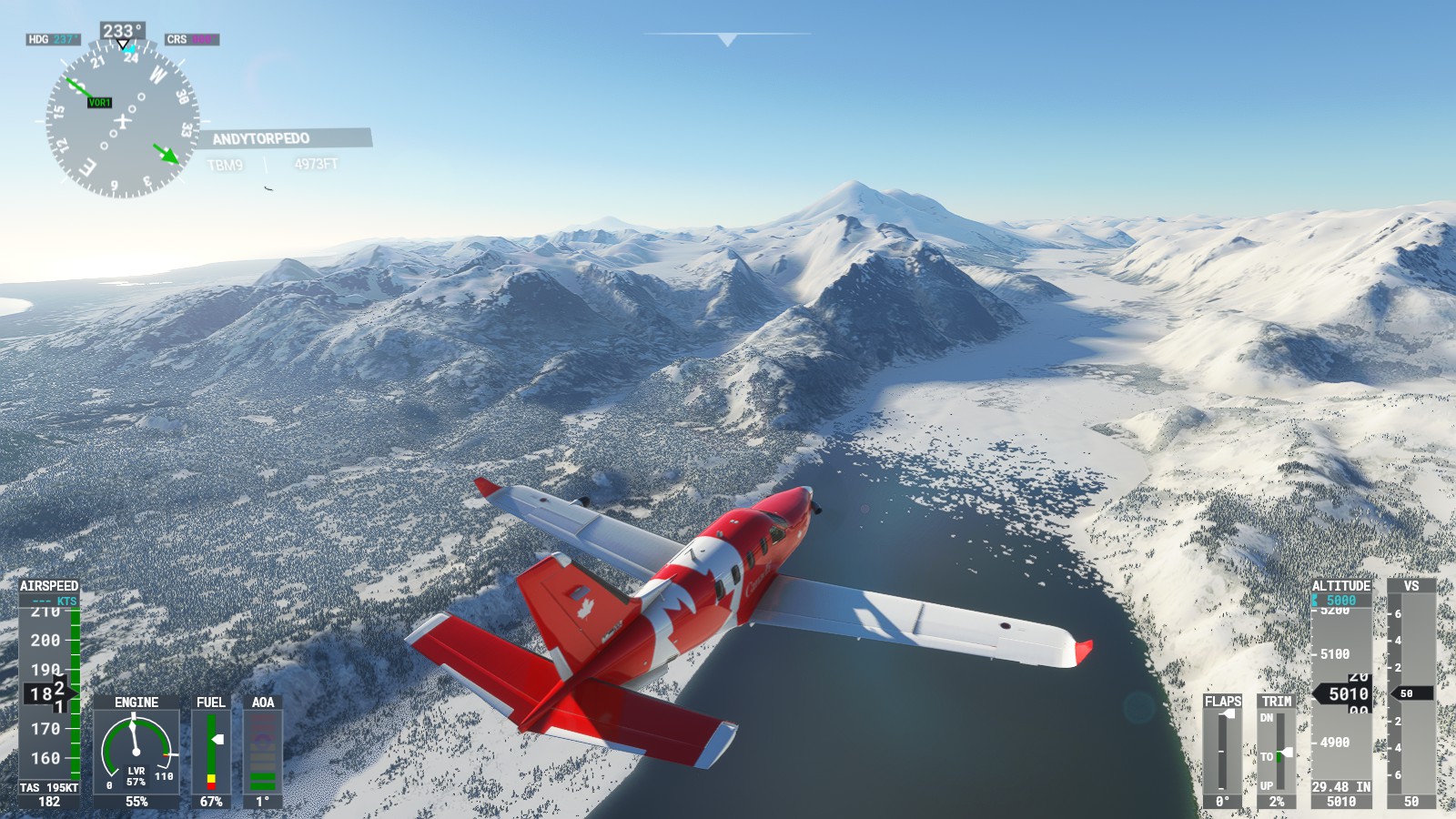
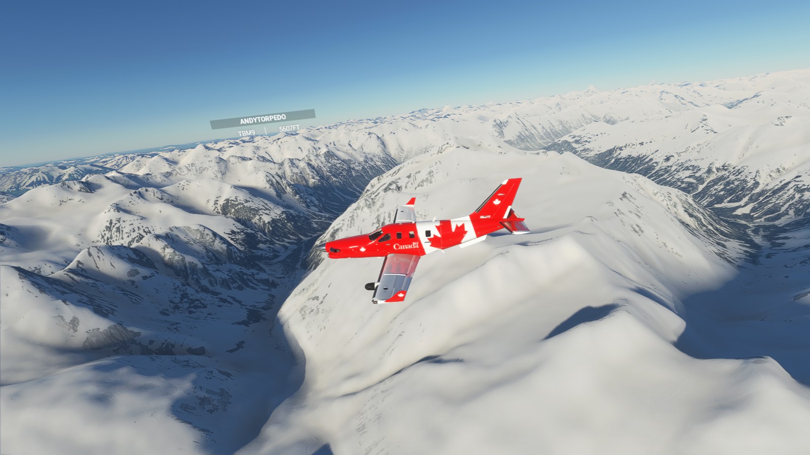
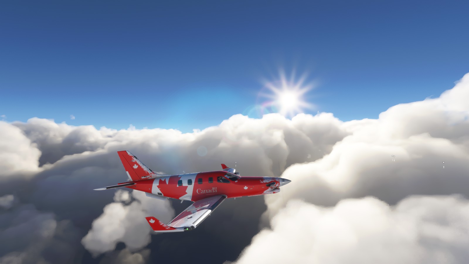
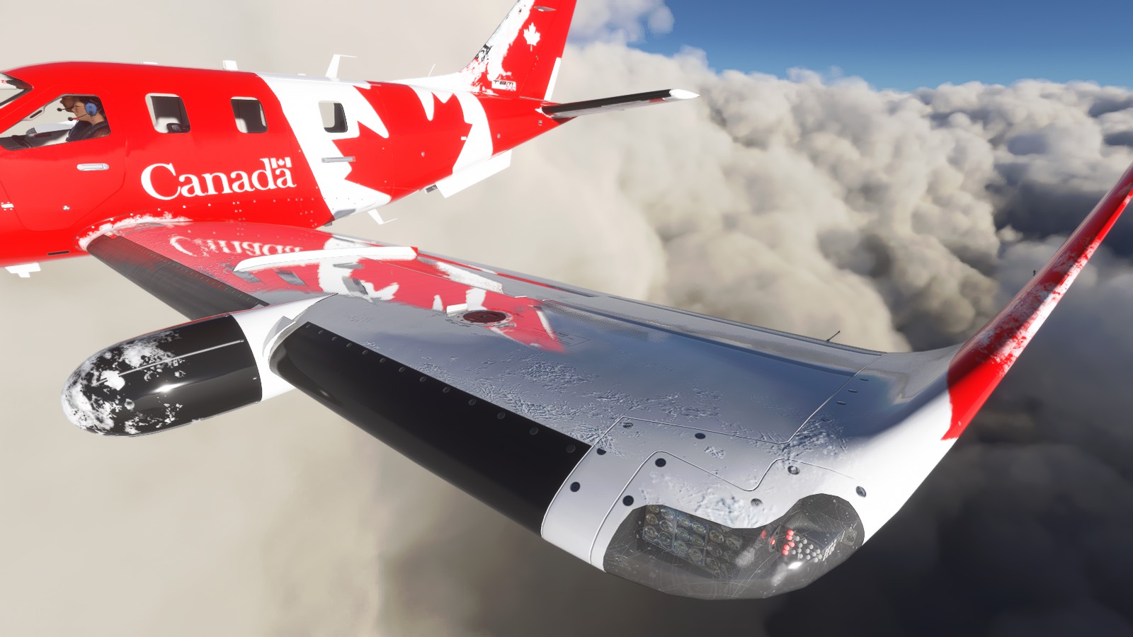
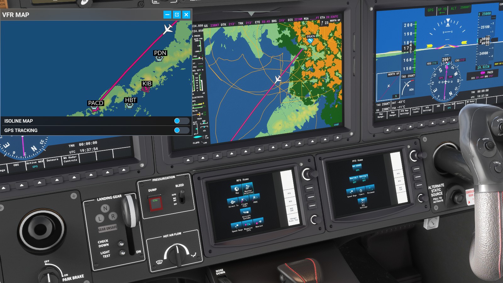
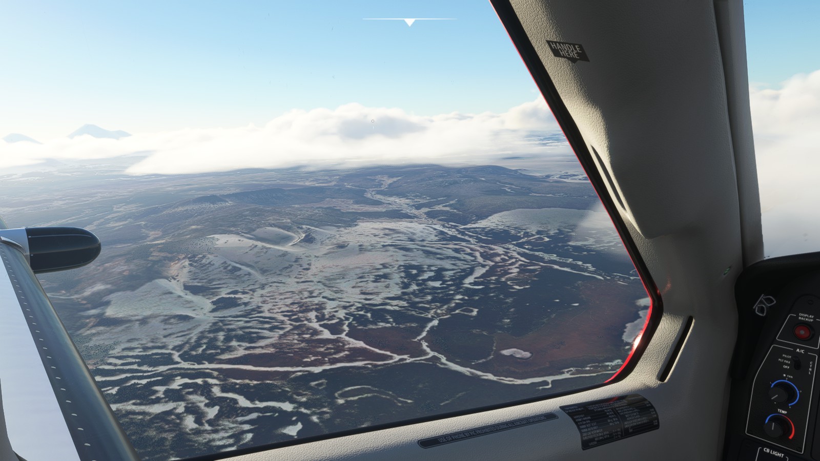
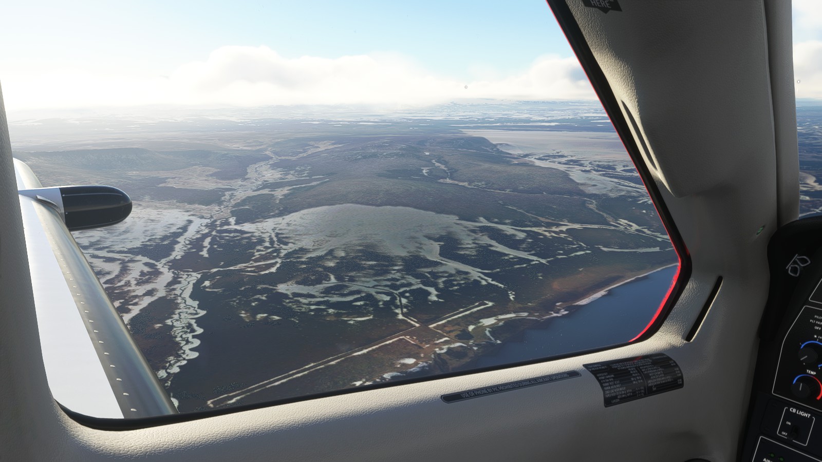
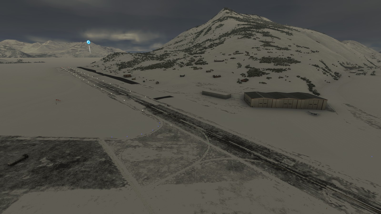
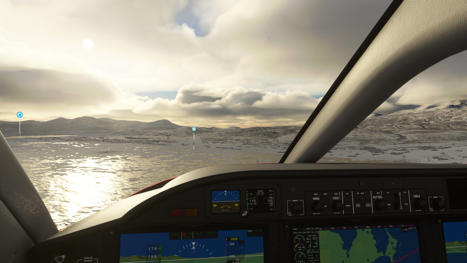
– Prepping for a snowy take-off.– King Salmon Airport – Already obtaining icing on the wing.– More icing. Passing through some more ominously puffy clouds.– “Void”– Break in the clouds. – Happy the icing can now melt in the sun’s warmth.Passing by Egegik.– All that icing. – Loving the high detailing of the ice, lights, and shiny wings. – With how snowy King Salmon area was I popped out the weather tracker. Everything is behind me. – Smooth sailing till Cold Bay.– As noted previously, I love viewing terrain within the breaks of clouds. – As rough as this area is, I’m loving the remote vibes. The feeling of gradually coming up to your desired destination.– This image speaks to me.– Old and abandoned runways, possibly even from WW2. – Spotting a few folks off in the distance as I prep for landing. Noticed they were flying Husky bush planes, appropriate.– Lining up on the airport.
And landed safely.
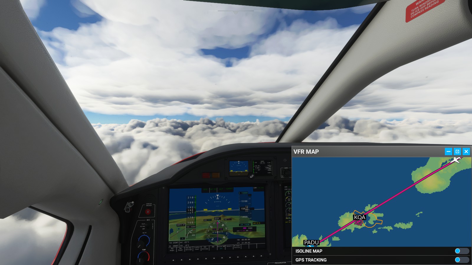
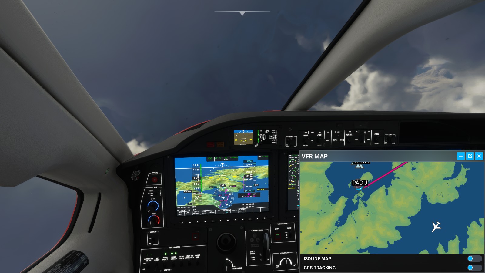
Cold Bay (PACD) -> Dutch Harbor (PADU):
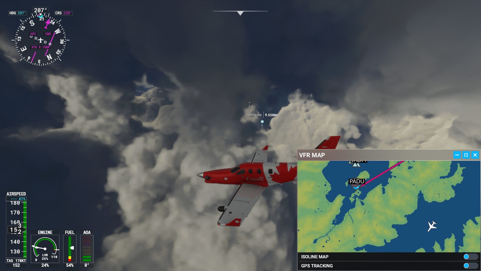
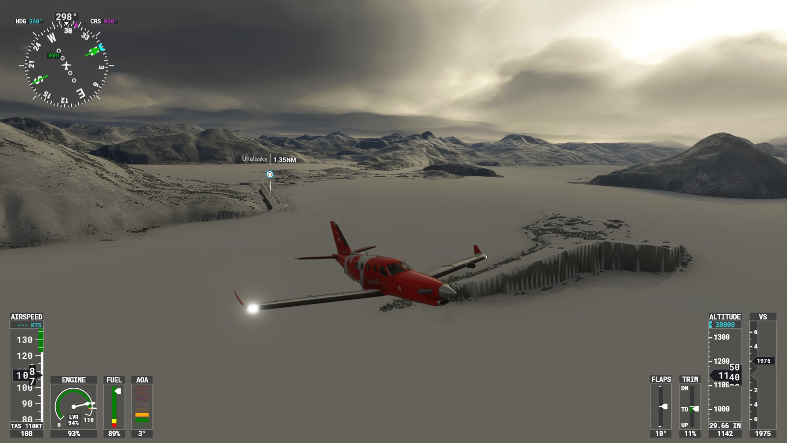
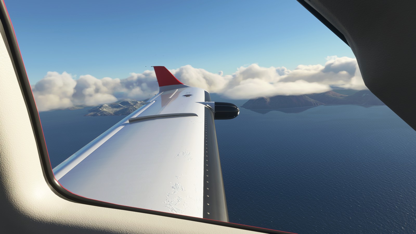
From Cold Bay, I finally headed towards Unalaska, an area I know from a TV series. I knew this area thanks to Discovery Channel’s ‘Dangerous Fishing’ TV series. It was quite surreal taking off in snow to then find none. Upon arrival, everything gradually came to me as I’ve seen it on TV. Even if I’m not there personally, visiting something you’ve seen on TV is quite an interesting feeling. Even if it’s digital the feelings are still memorable, precious, and slightly nostalgic.
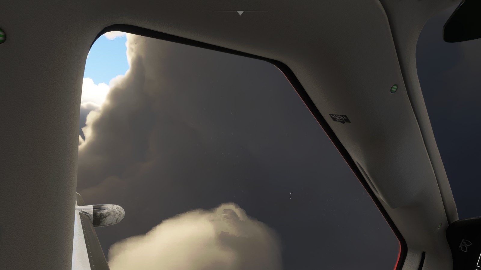
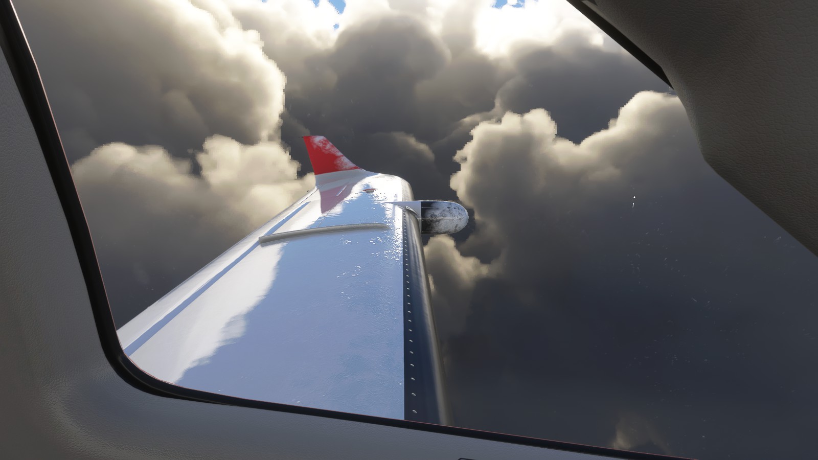
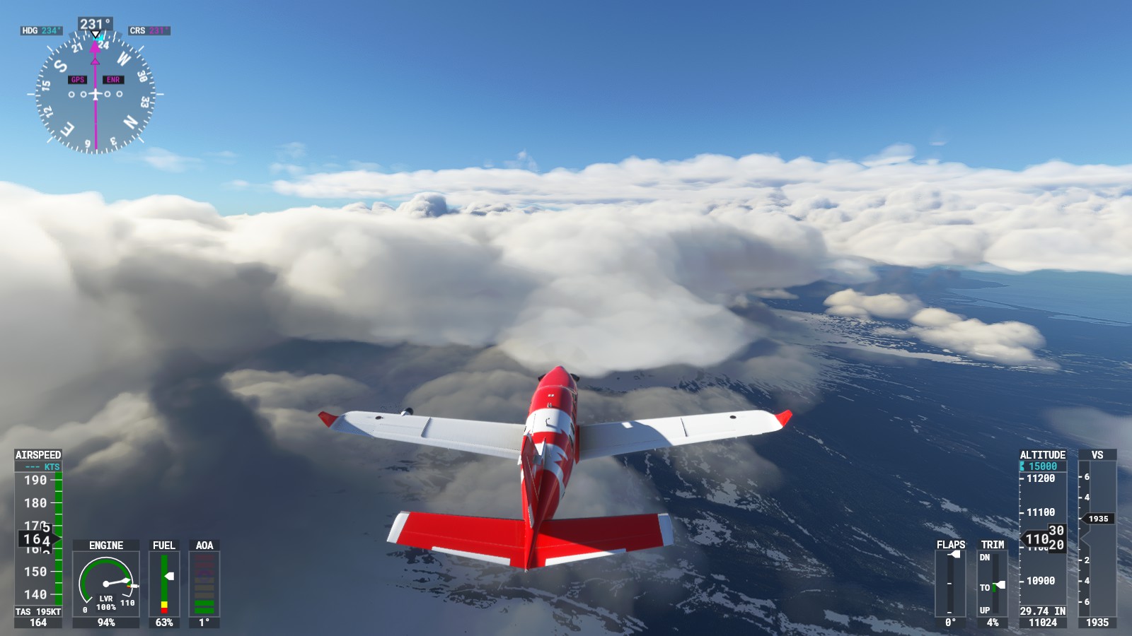
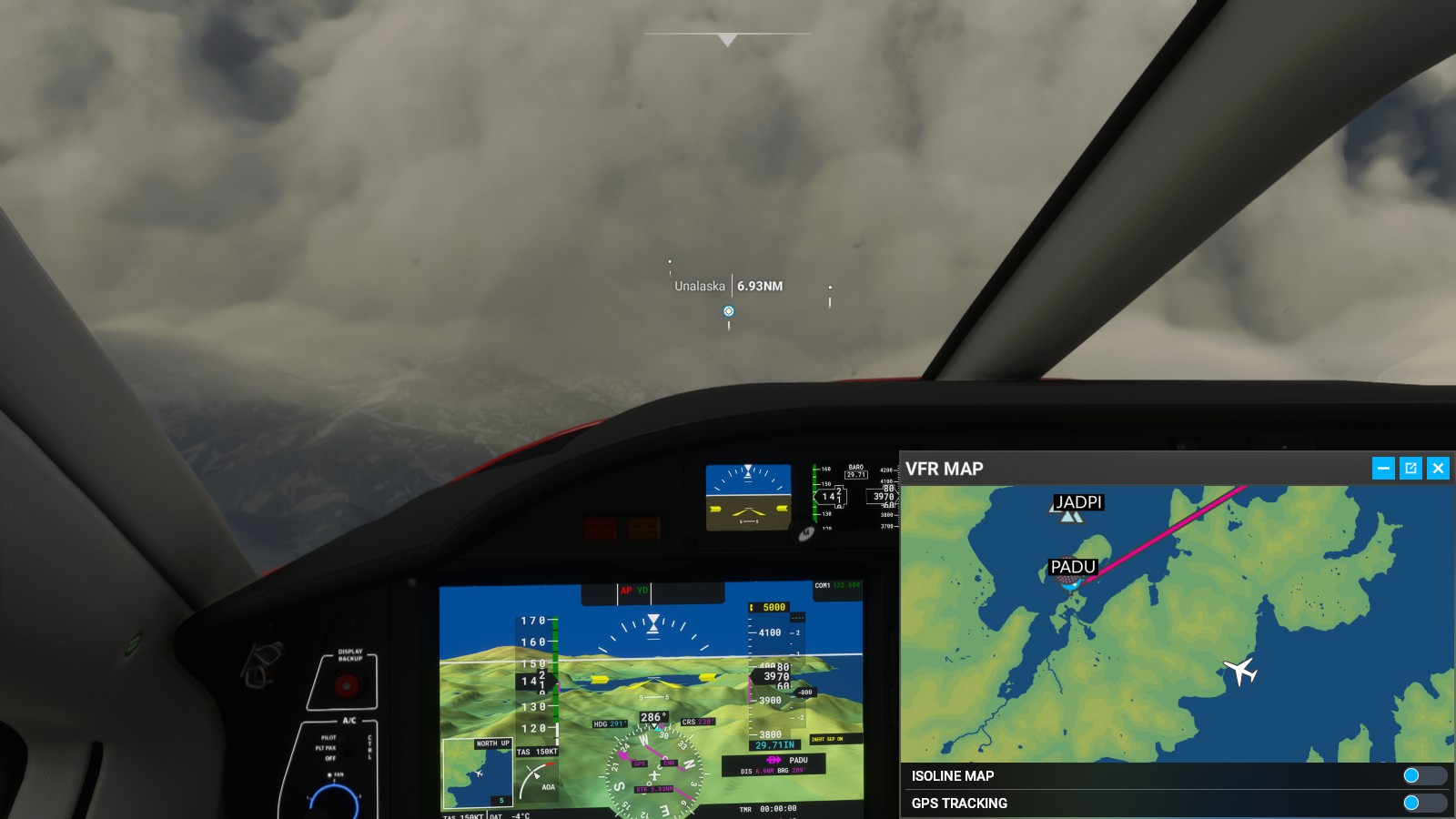
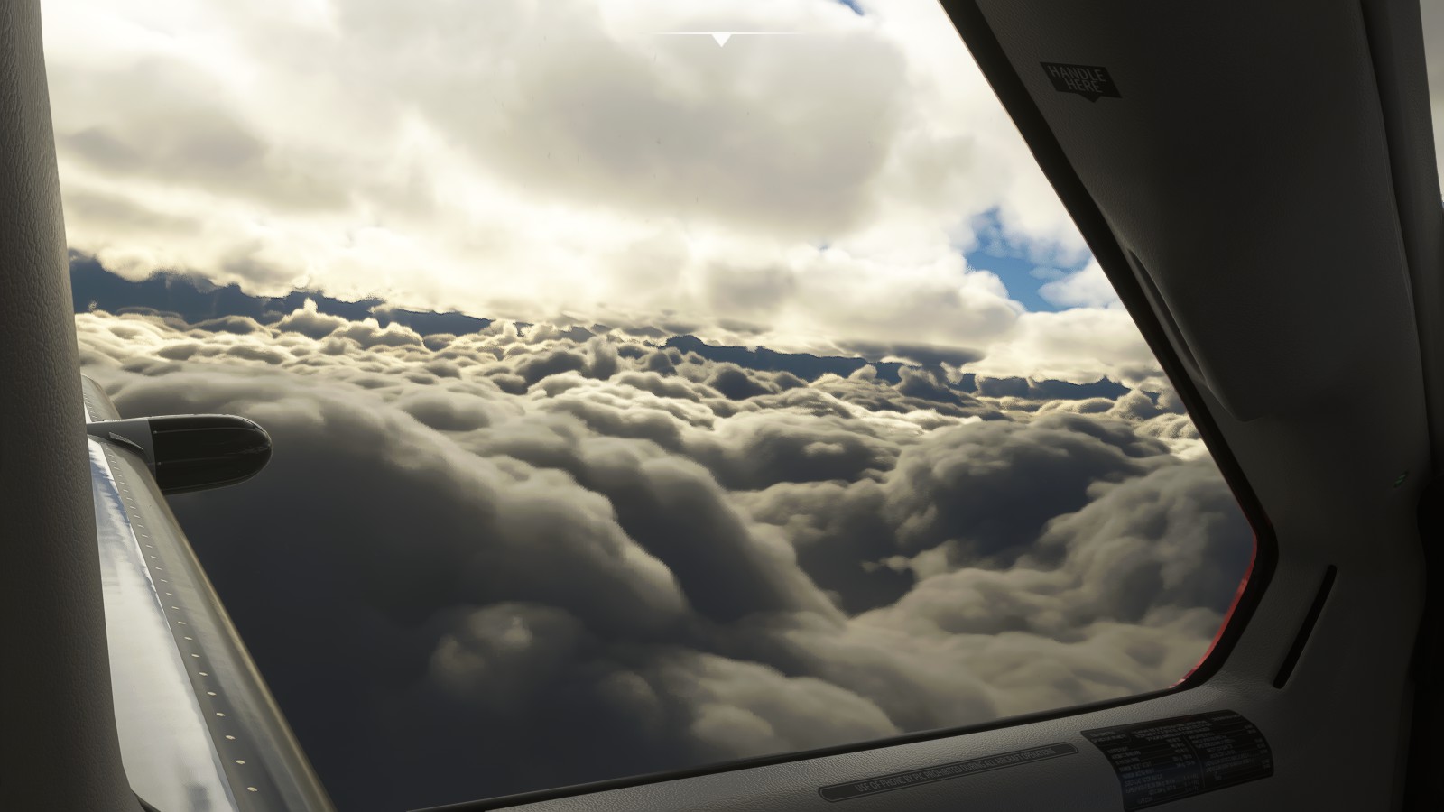
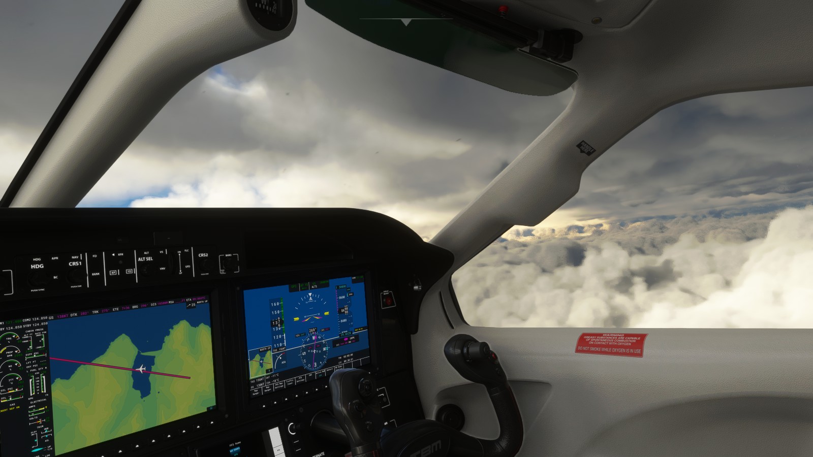
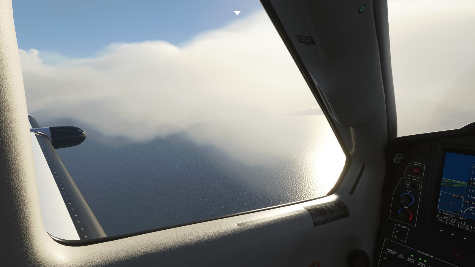
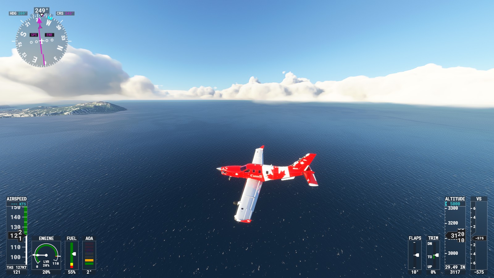
– Flying past a noticeable runway. Also, possibly from WW2.– Looping around a mountain.– No matter where I fly I’m always impressed by the scenic visuals.– Gorgeous. This genuinely speaks to me.– Noticed these same folks were out spotting wildlife. Sadly, they weren’t present for me as I flew over.– They landed on a cliff.– Disappointed, yet partially satisfied, I decided to ascend to make my way to Unalaska/Dutch Harbour. Onwards! Of course, I had to run into dense cloud cover.– Yikes….. That is not a good sign. This is also exactly why I’ve been using the TBM9 and the King Air.– Looping around to dangerously line up with the runway. – Looping once on the outside while using the TBM9’s trusty instruments to guide me in manually.– Yikes……– It’s very snowy here. Don’t worry, I know what I’m doing. I may not be flying professionally, I however know what I’m doing.
Even if I may have screwed up my attempt on final I decided to do a go-around. I may have actually been able to land, I however wanted a better grasp at the landing.
– Missed approach (go around), I decided to loop around to try again. This area sure is very silent.– Forced a landing on the second try.
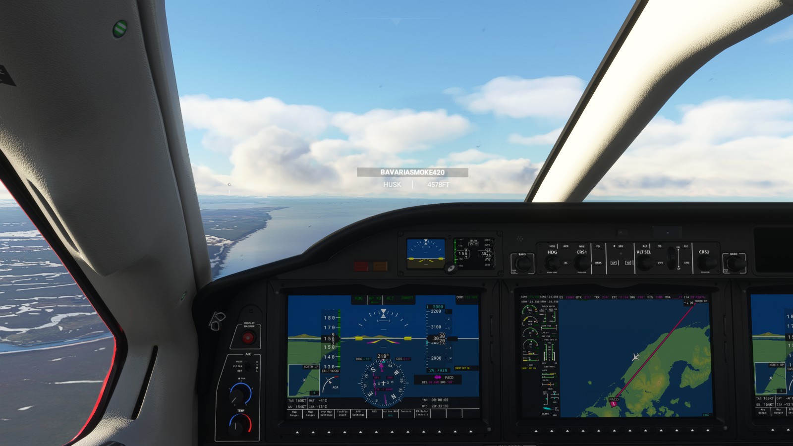
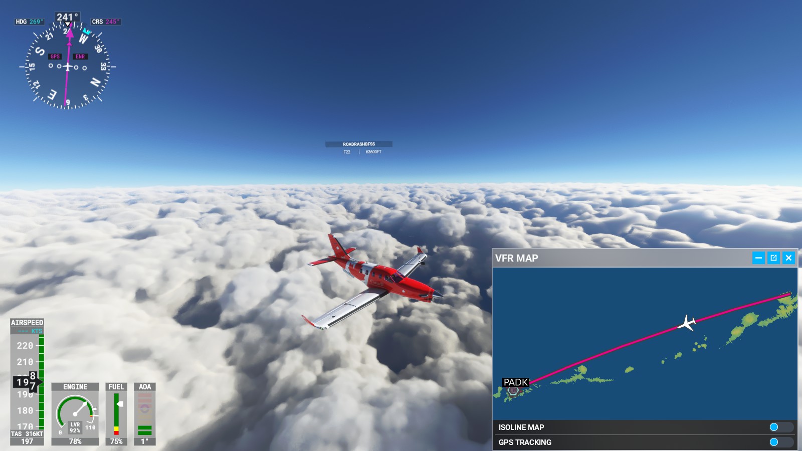
Few days later I jumped on again to venture further west; Closer to my destination. I’m sure people know where I’m heading, even so, still leaving it as a mystery. Was going to aim straight for Russian territory to simply go the halfway point instead. I was going to head straight towards Russia, instead, had to choose a mid-point being Adak Airport. Wasn’t sure if it was still military or not, I still aimed for that airport.
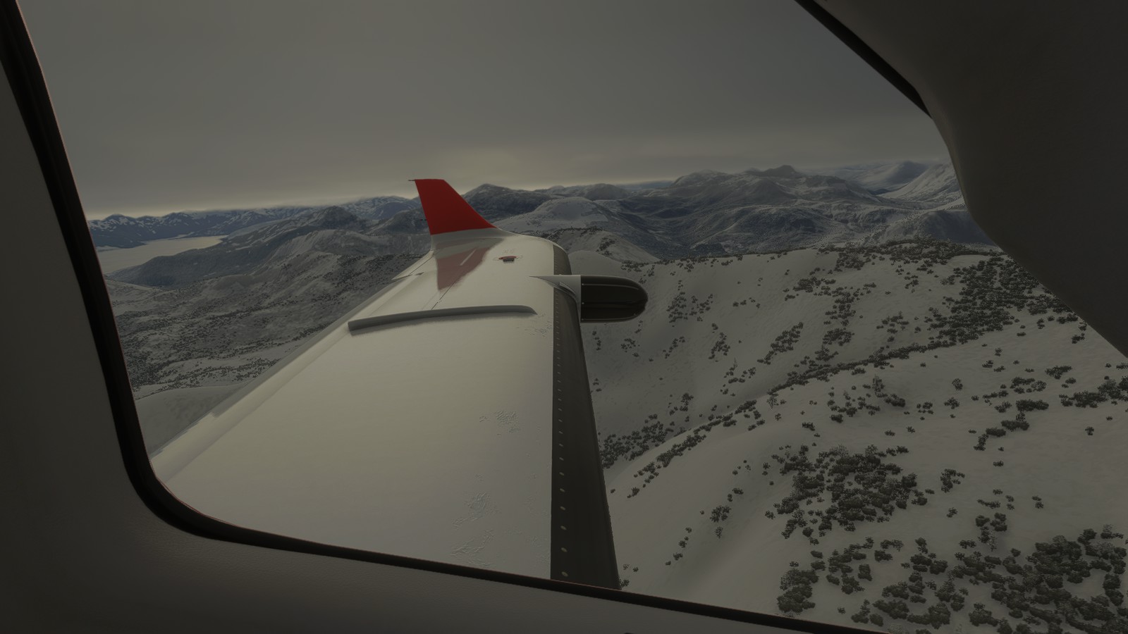
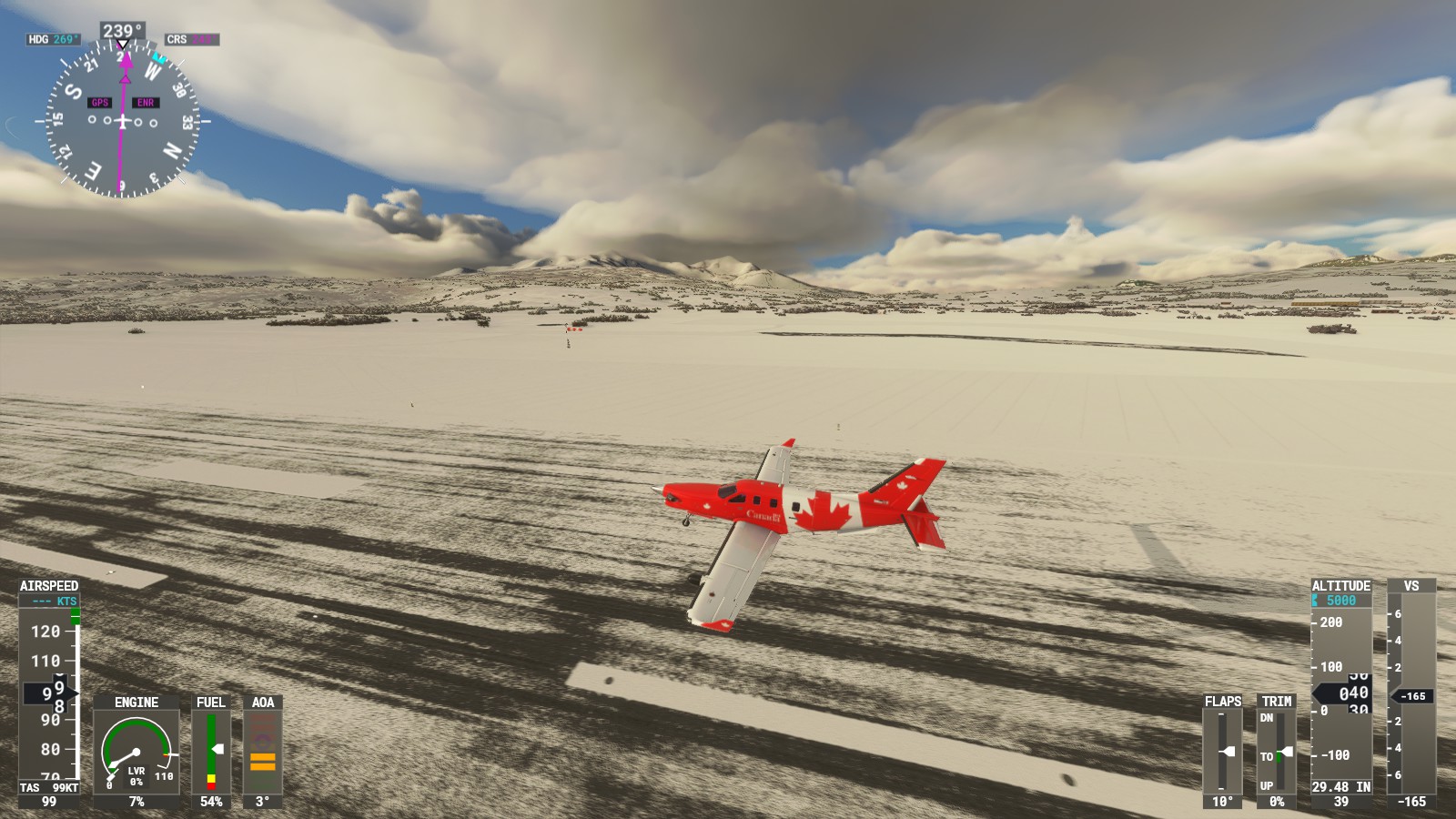
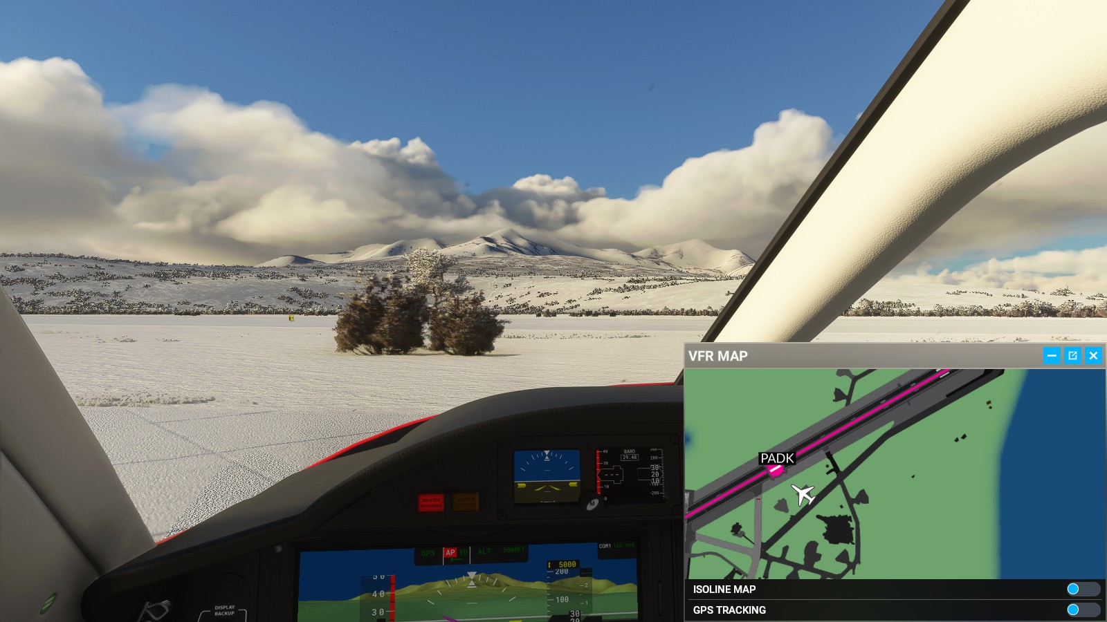
– A little jaggy. Scenery needs polishing.– Still cloudy as I head a bit north by mistake.– Lovely funnel clouds.– Two people flying around in passenger and military planes.– Someone flying around in an F22.– Gradually arriving at Adak airport.– Water was interestingly icy.– Landed.– Parked at my own discretion.– Spent awhile viewing these mountains with moving clouds. Felt a bit nostalgic with a touch of deja vu.– I swear I’ve seen this scenery before………..
With that, this wraps up part 4. We’re getting closer. Bit-by-by closer.